[bumpy trails bicyclists homepage]
[kanpur history tour 2011 mar]
[taj pedal yatra 2011 mar]
[akbarpur 2010 aug]
[maithA canal 63km : 10aug]
[bithoor : 10jan]
ganga villages : [TuTA ghAT 10apr]
[bandimAtA 10apr]
bicycle birding: [lakh-bahosi bird sanctuary 191km 11mar]
[chaubepur 10apr]
[raigopalpur]
[gambhirpur 10feb]
[exploration : lakh-bahosi 10feb]
[Kanpur bikeathon 10sep] (2500+ riders) [IITK GJ rural bicycle tour : mar 2010] (700+ riders)
[family bicycling : 10jan]
Further afield:
Himalayas [Where the Road Ends tour : munshiyari-song-gwaldam-badrinath] (jun 2010)
[ranikhet 10mar]
[Tour of Nilgiris 10dec]
day 2 pokhara tour: tAnsen-pokhara - 120 km
| previous day | tour homepage | next day |
today was the hardest ride. 120km of riding, including 2000m of climbing altogether, though the end at pokhara (800m) was lower than tansen (1290m). the ride went through a series of downhills followed by solid climbs.
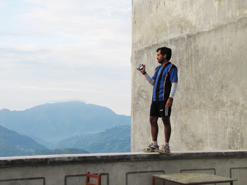
"white lake" seen from hotel the white lake, tansen. binoy living dangerously to shoot this video. the "white lake" is a mass of clouds floating over the valley below tansen
the morning was a brilliant green blur...
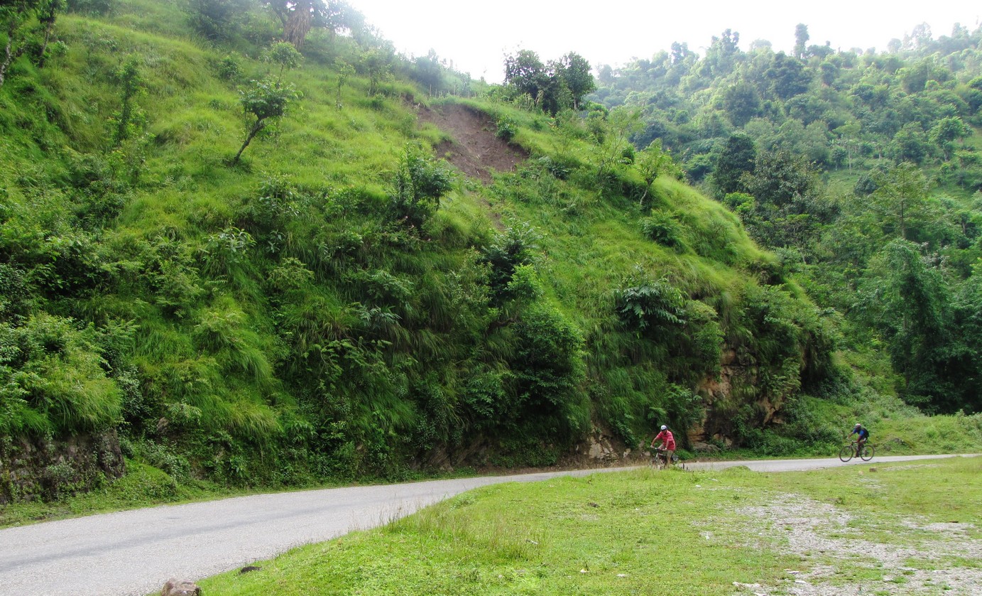
out of tansen (1290m) it is mostly downhill along the kali gandaki valley. at ramdi (400m) we cross the valley and start climbing again.
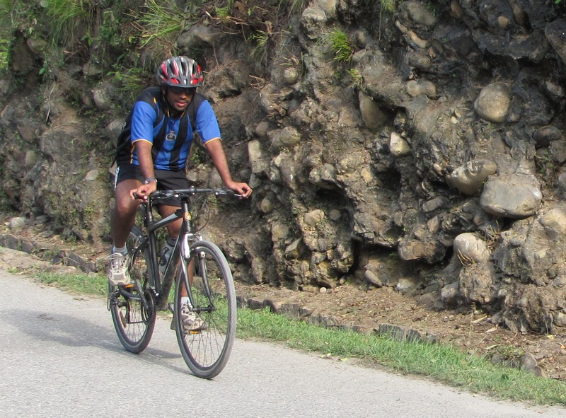
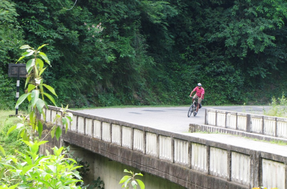
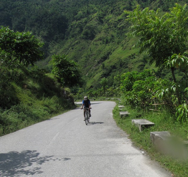
binoy on a downslope. my fat tires were not worth it; the roads were rather good; might as well have come on a road bike...
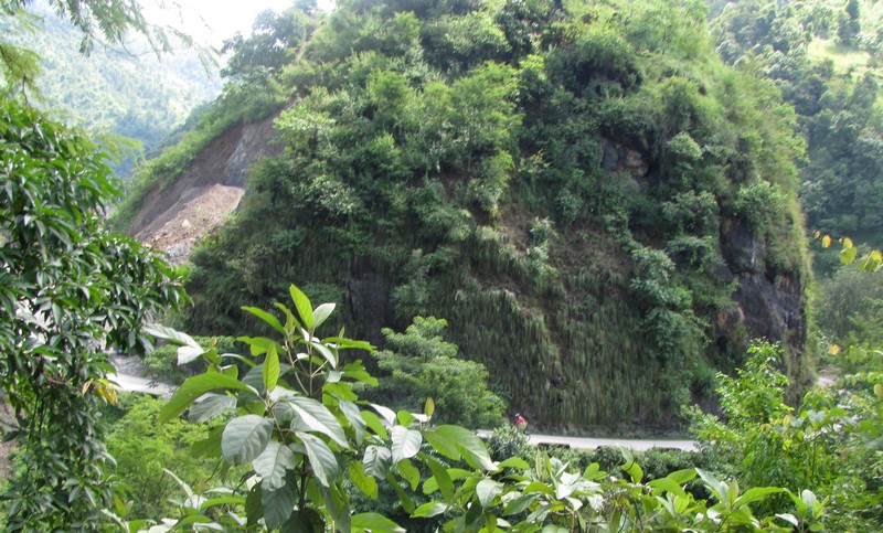
the route went along the adi-khola gorge on one side;
landscape was gorgeous, with occasional mist. The sun came out by noon, and it became rather hot.
bicycling along a curve. anand, our driver, shot this video and the other running pictures.
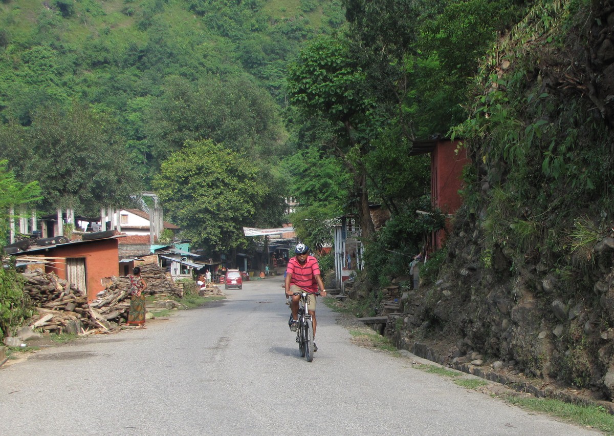
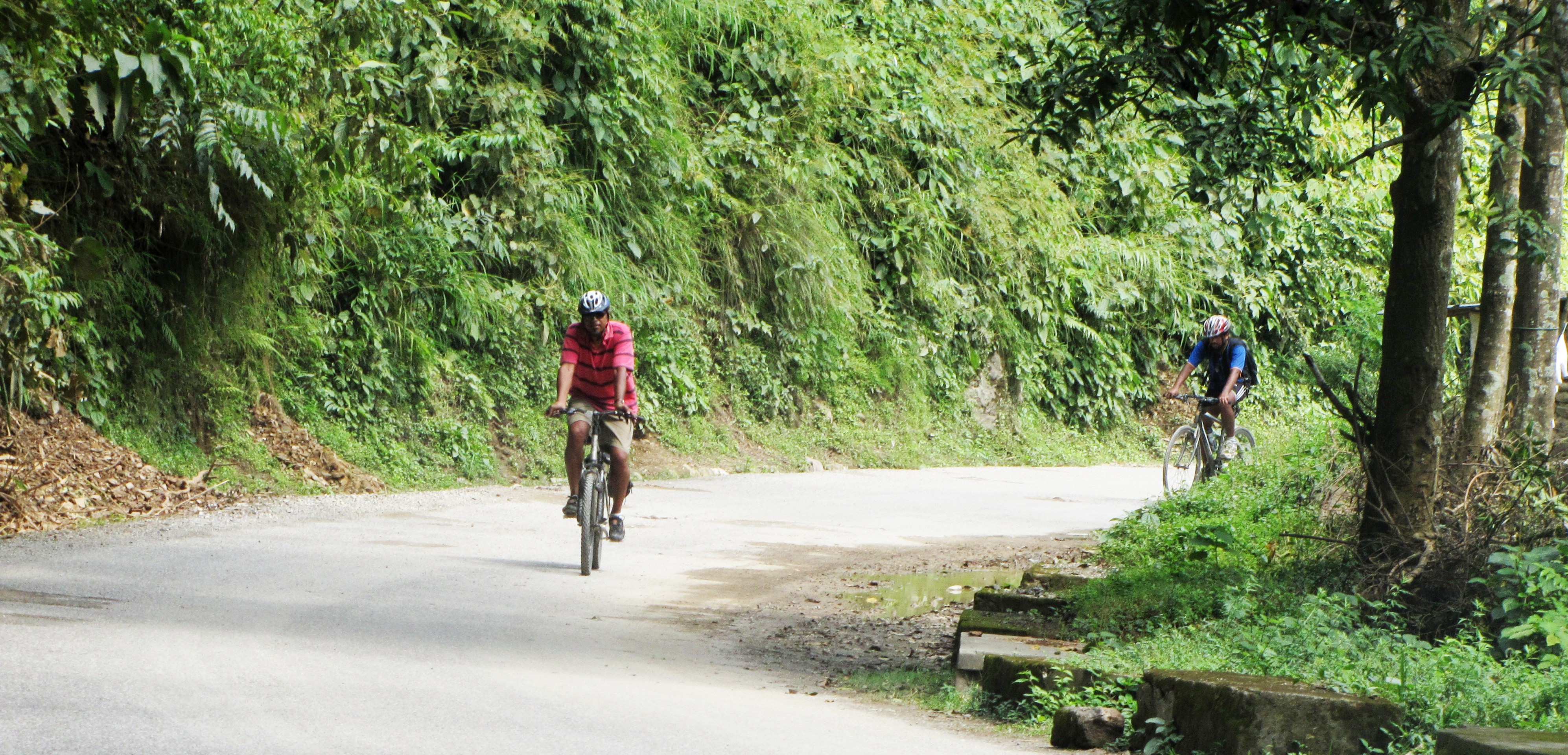
amit and binoy cycling through a trafficy stretch approaching syangja.
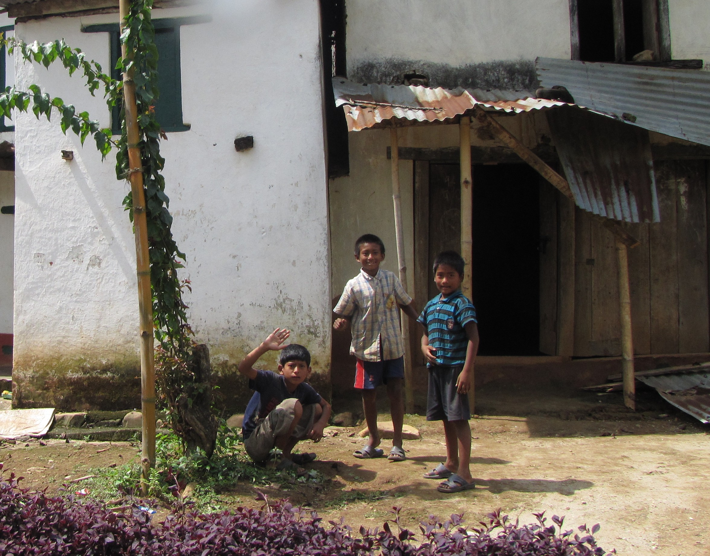
everywhere we went, boys would turn out to wave, shout "hello" or "bye" or "what is your name" - whatever english they know.
though we look close enough to the locals; the bicycling activity they associate with foreigners...
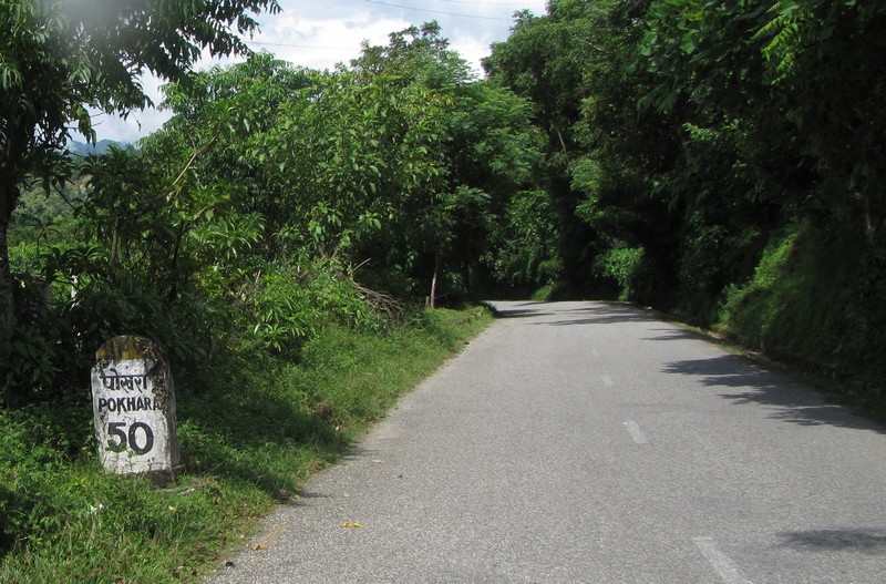
it was a relief to see the 50km-to-go milestone a little after waling.
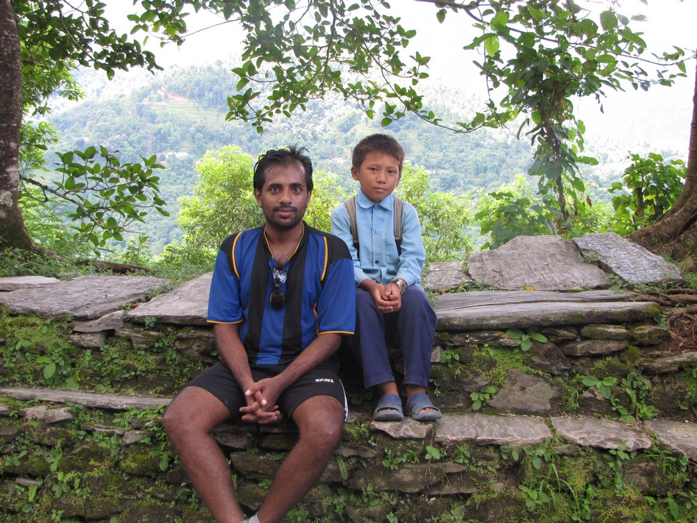
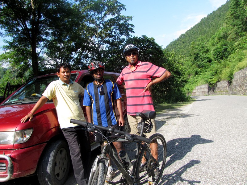
rest-break after a long climb en route to Syangja. perhaps this is the "top of the hill" in the map below. at this point, binoy met the kid ravindran who was walking back to his village over the hills from his school - it's about an hour's walk each way.
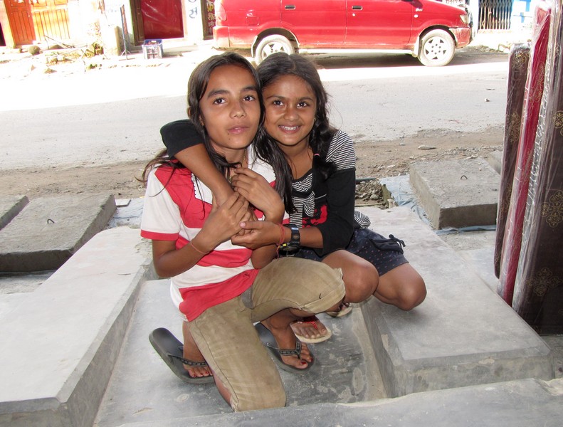
rest-break at syangja. the two girls sandhya and puja, best buddies and class vii students, come by to say hello to the bicyclist gang...
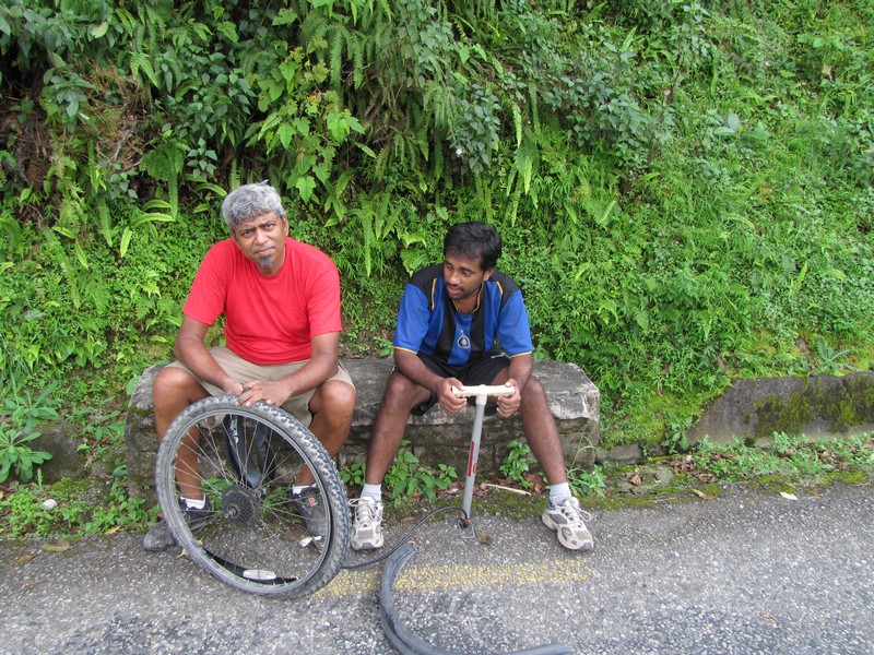
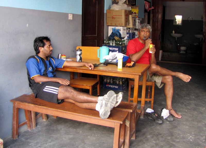
puncture while going down a long sharp incline - perhaps caused by heat from the braking.
the tourist strip at Pokhara lakeside.
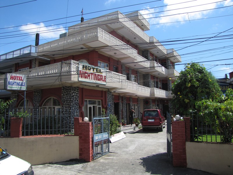
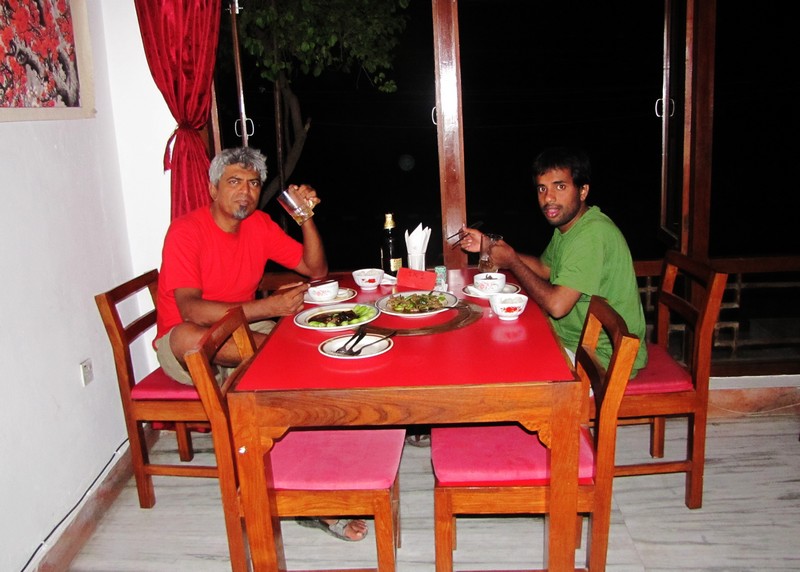
hotel nightingale, pokhara. dinner at a nearby nepal-chinese restaurant - only the decor was authentic.
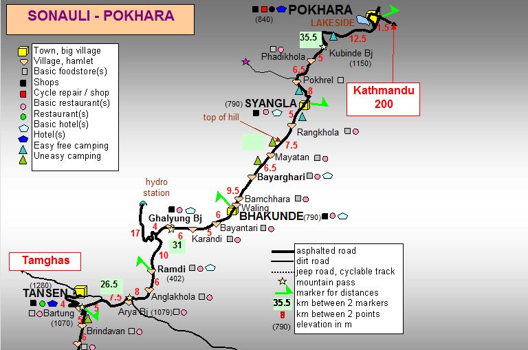
map by Frédérick Ferchaux, a veteran bicycle tourist who has been practically everywhere... See http://fred.ferchaux.free.fr/nepal/kapokara.htm for the original map, starting at sonauli. This site also has excellent descriptions of the route. Syangla in the map should be Syangja.
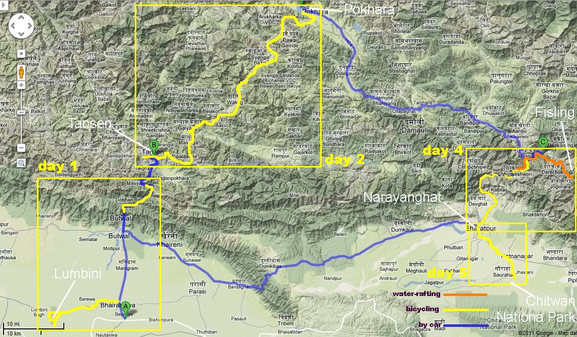
see maps of nepal page for more maps. * [ day 1: lumbini-tansen]
* [ day 3: pokhara]
* [ day 4: fisling-rafting-nArAyanghAT]
* [ day 5: chitwan]
* [ nepal cycling tour (home) ]
amitabha mukerjee for the bumpy trail bicyclists. sep 2011. feedback: mukerjee [at] gmail