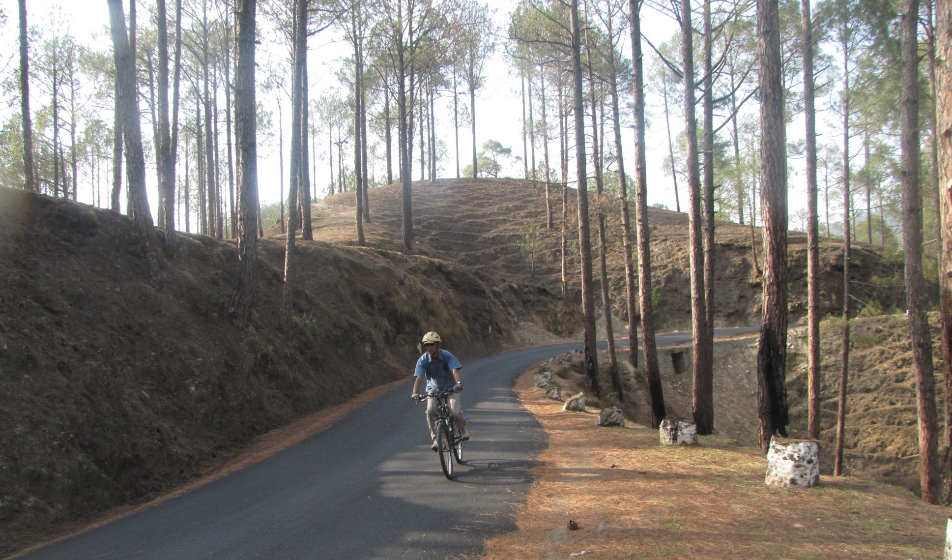
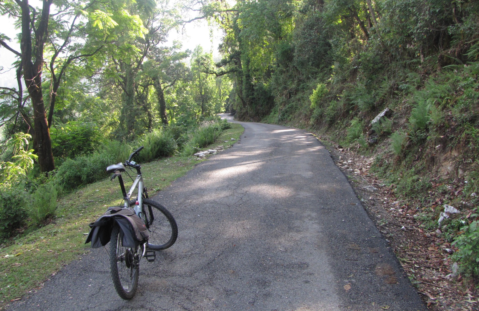
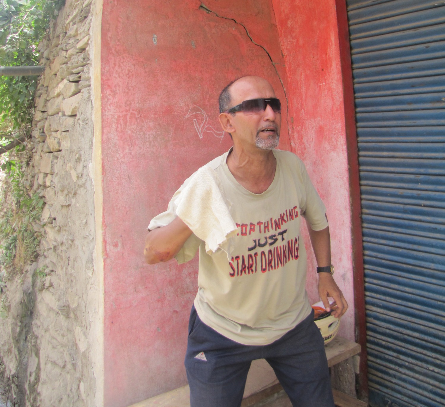
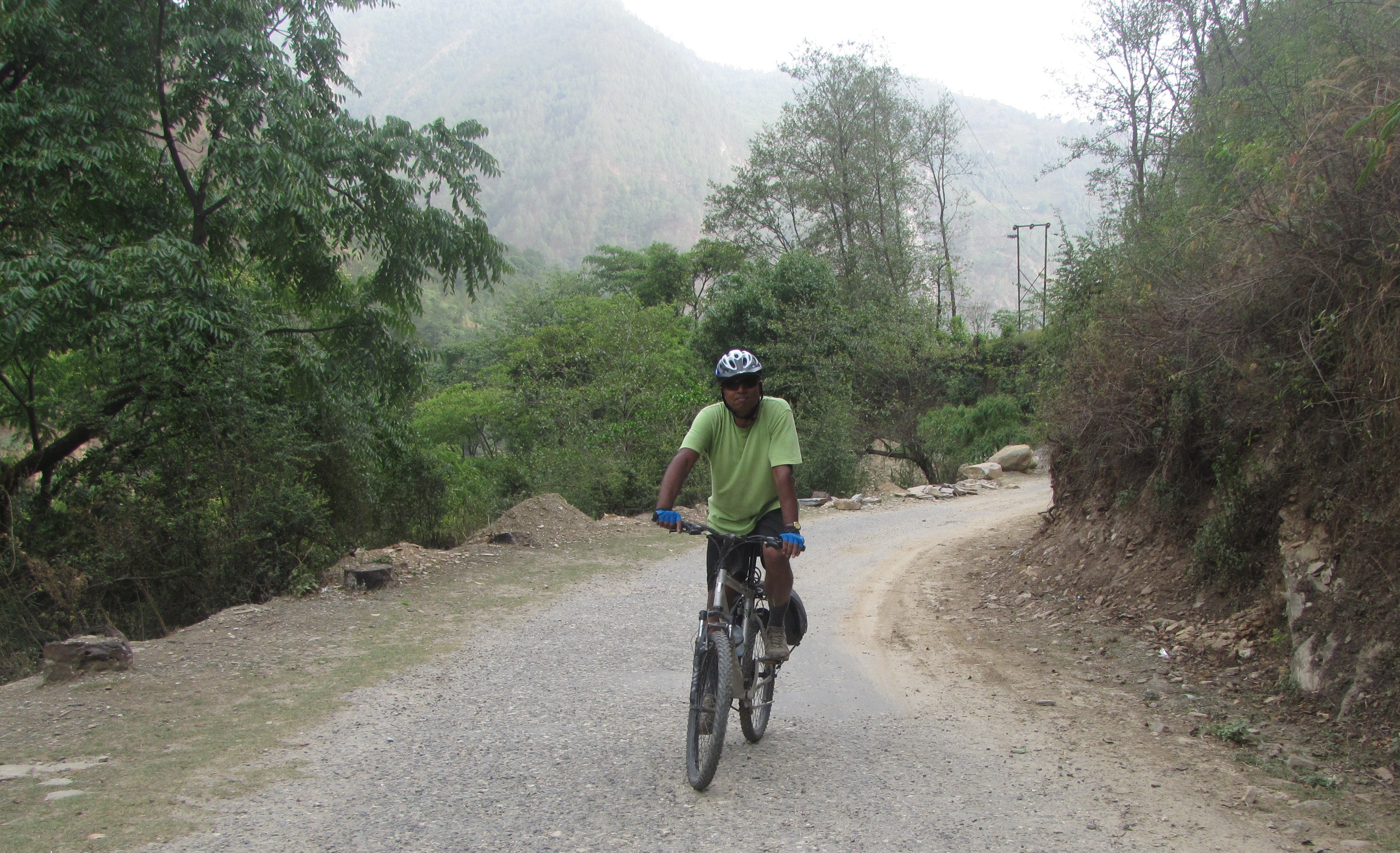
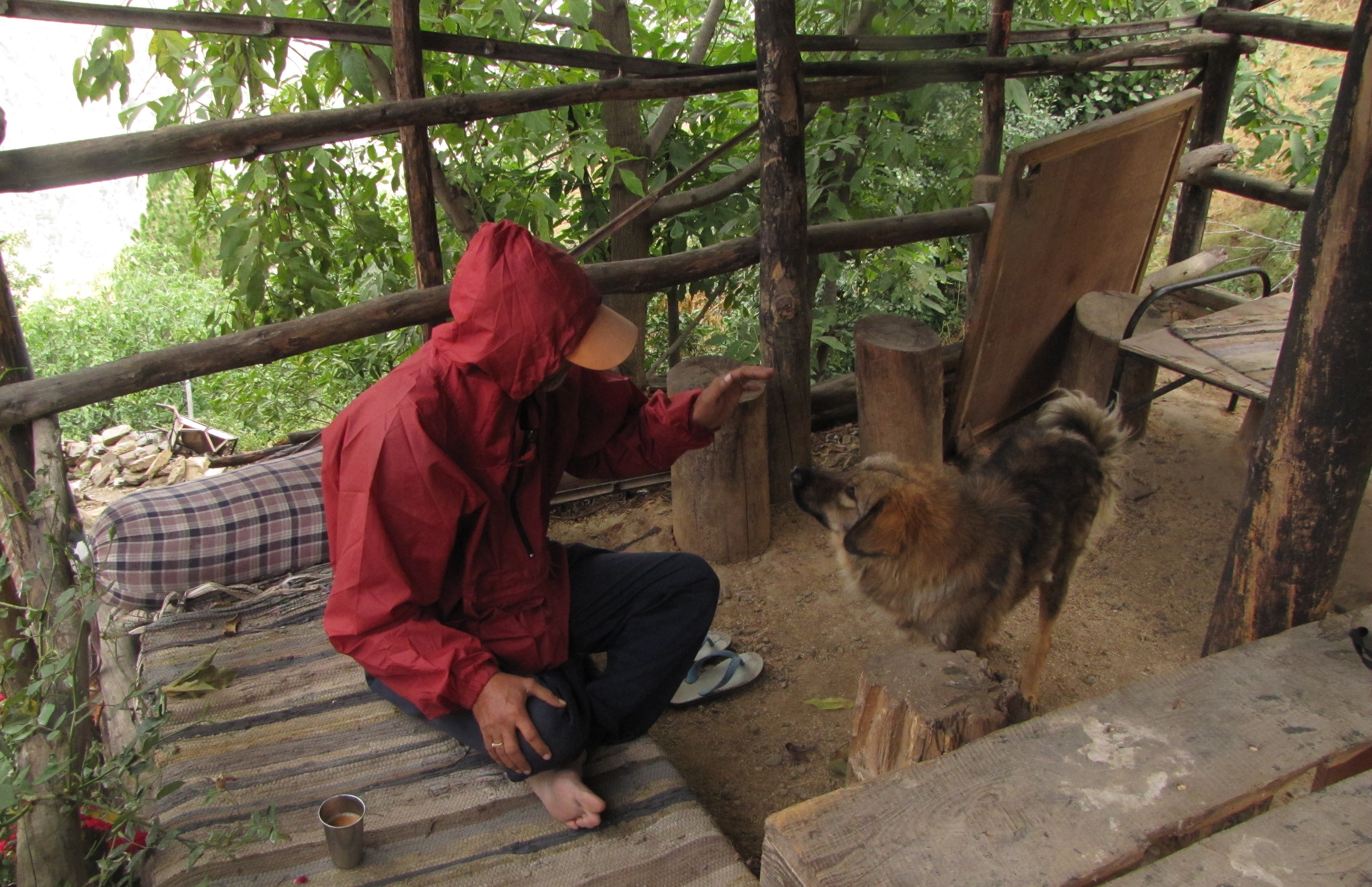
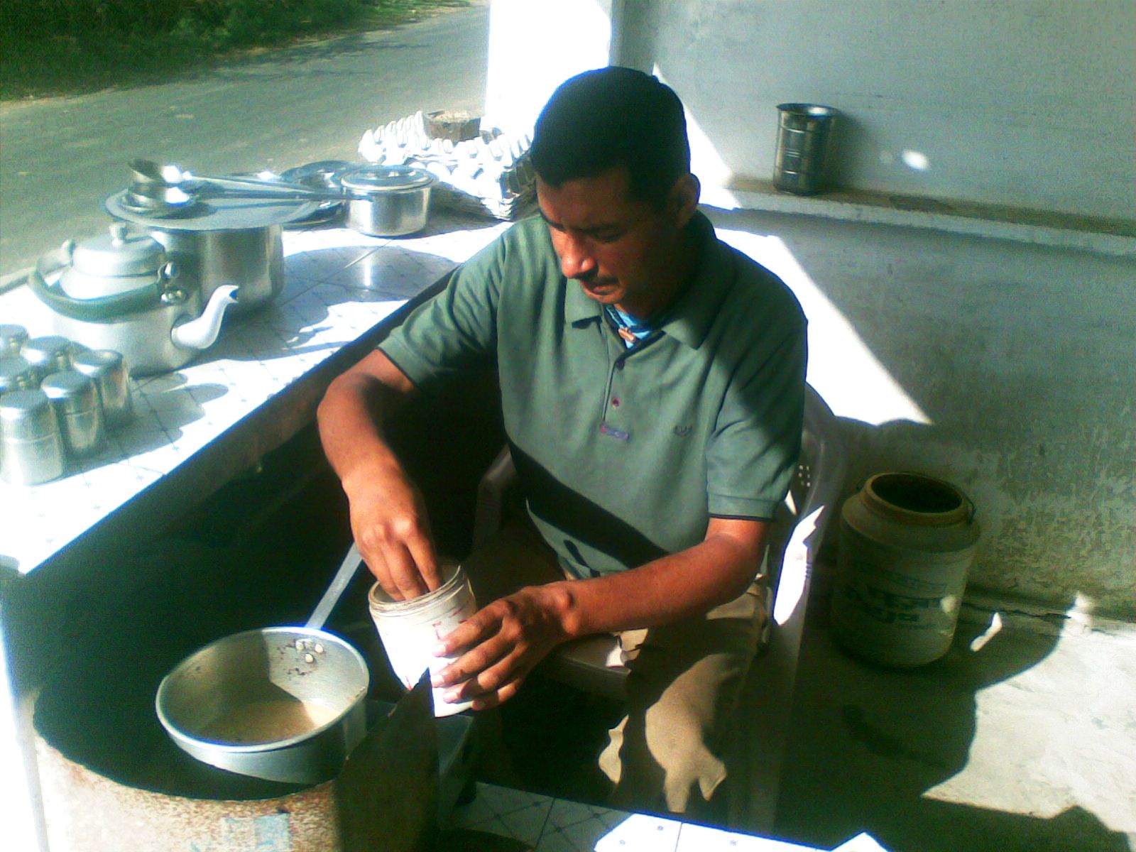
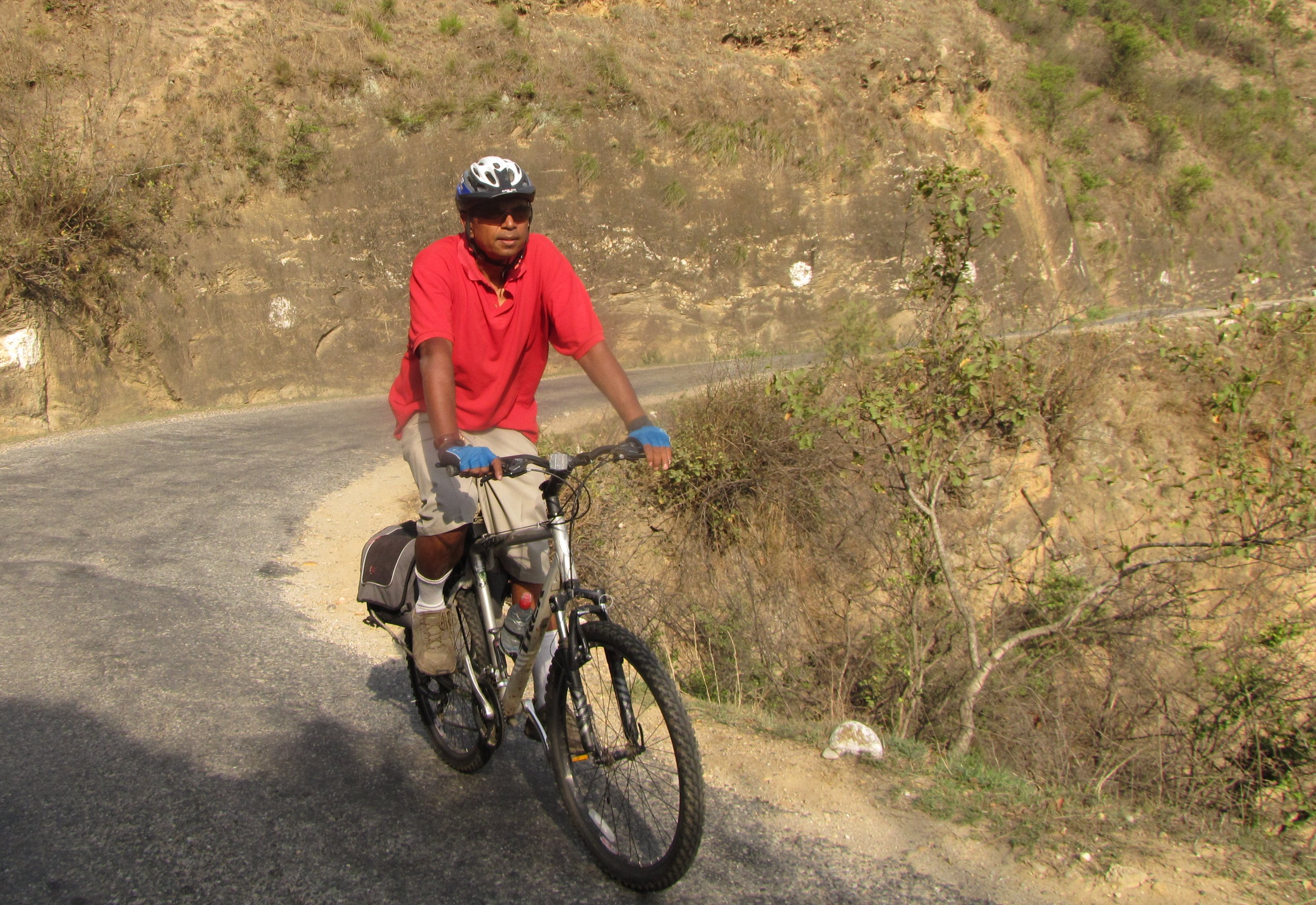
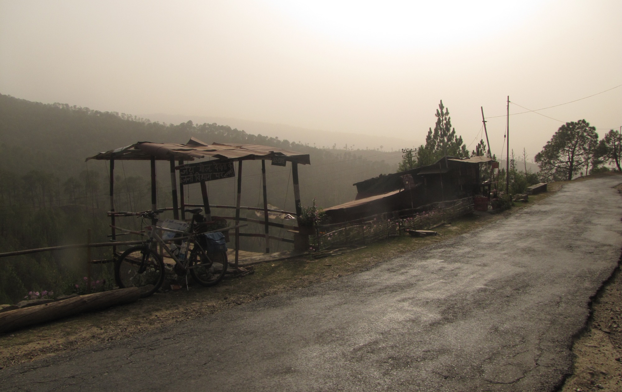
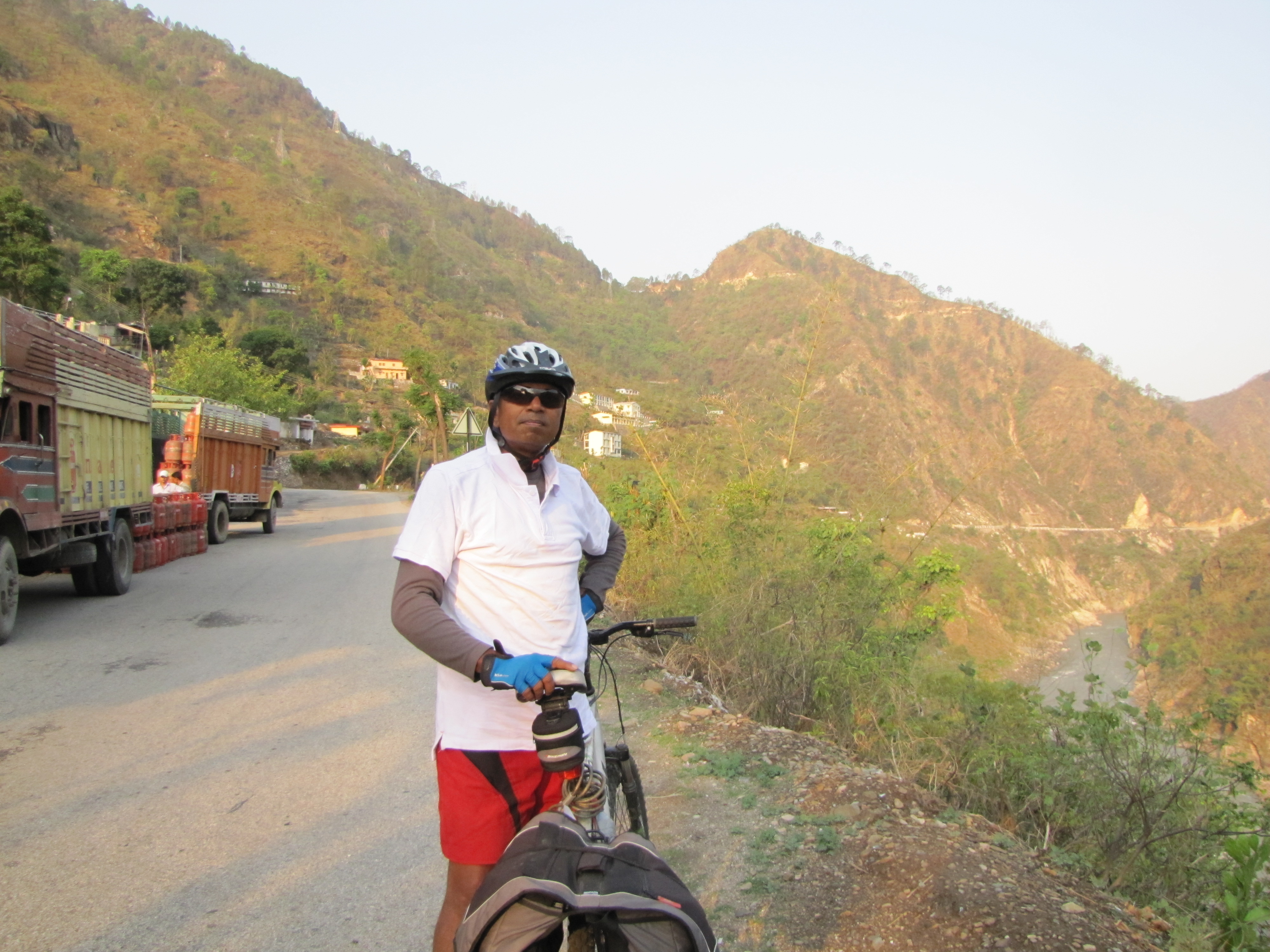
[bumpy trails bicyclists homepage]
[kanpur history tour 2011 mar]
[taj pedal yatra 2011 mar]
[akbarpur 2010 aug]
[maithA canal 63km : 10aug]
[bithoor : 10jan]
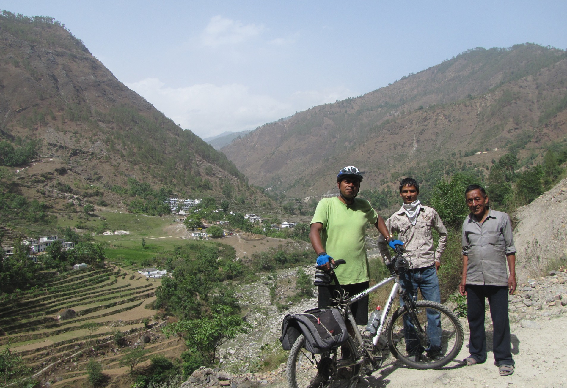
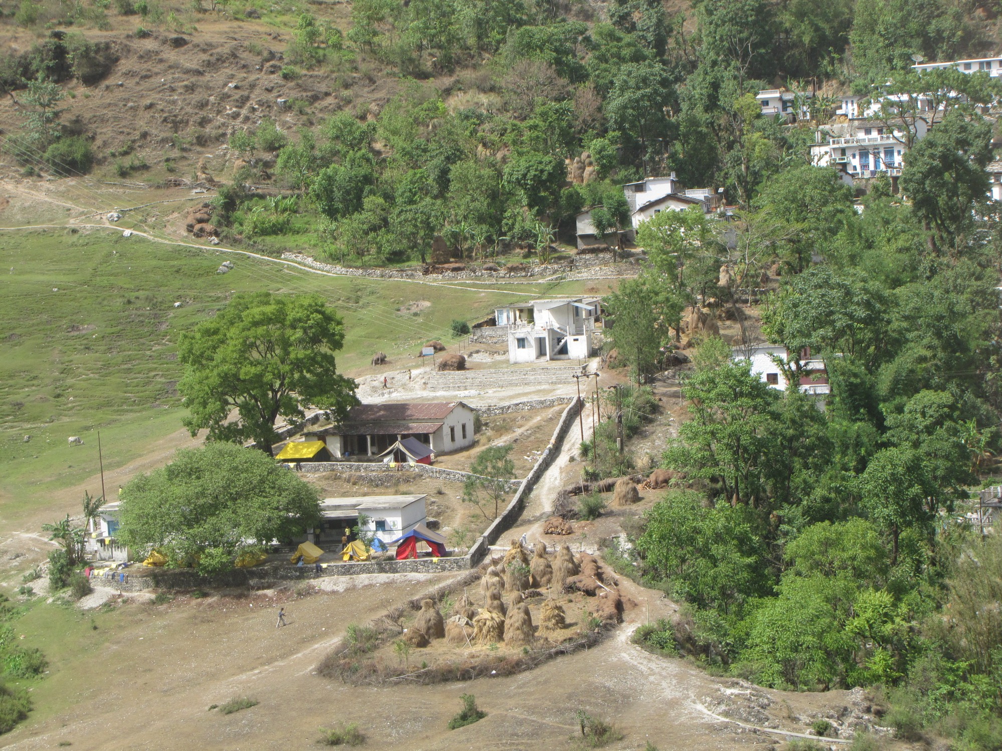
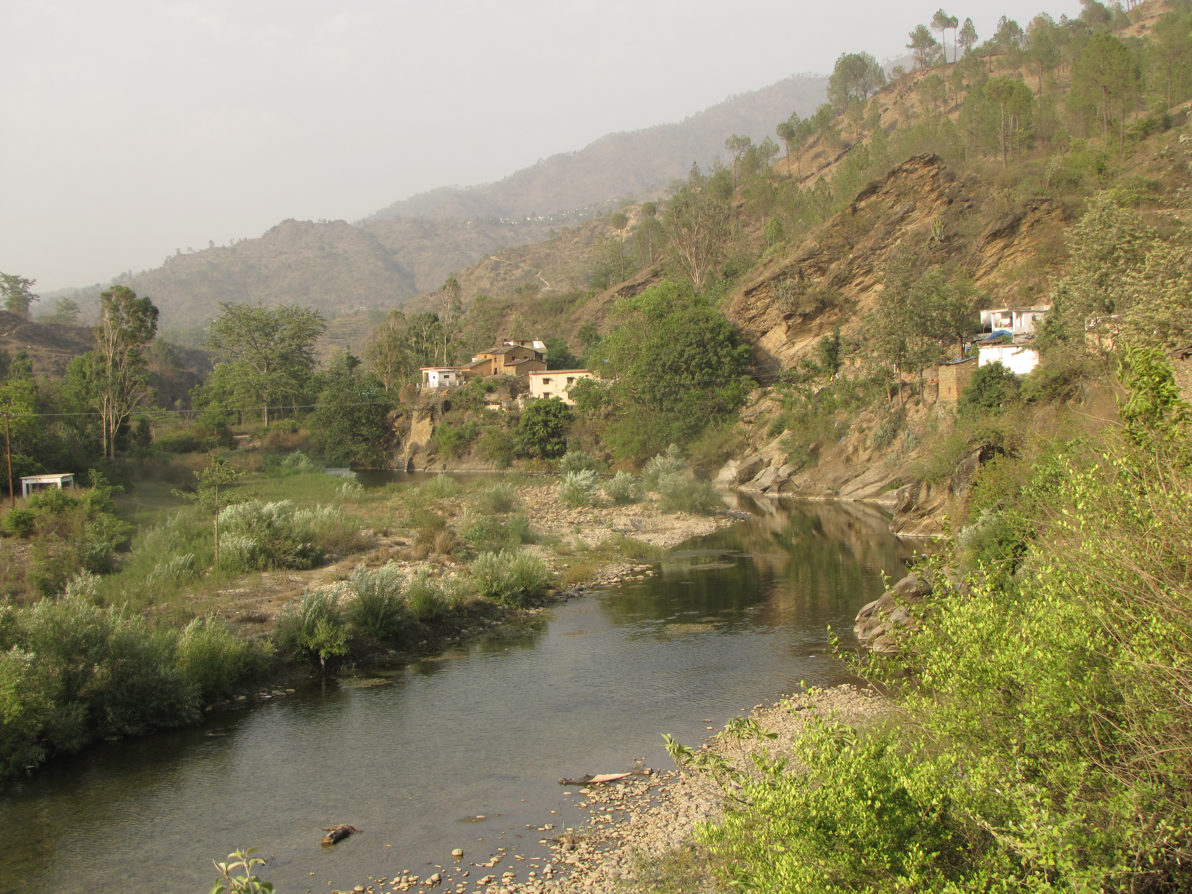
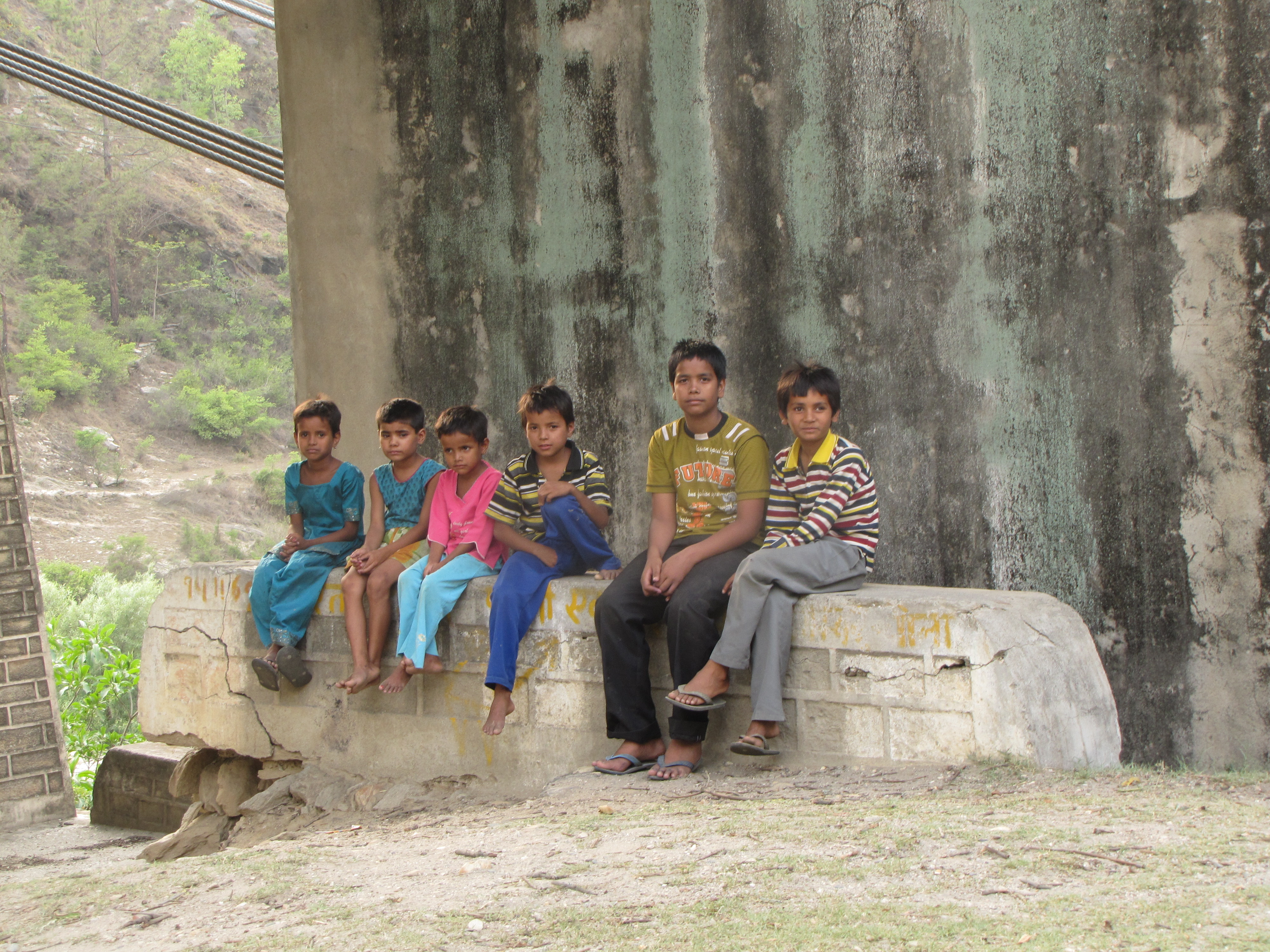
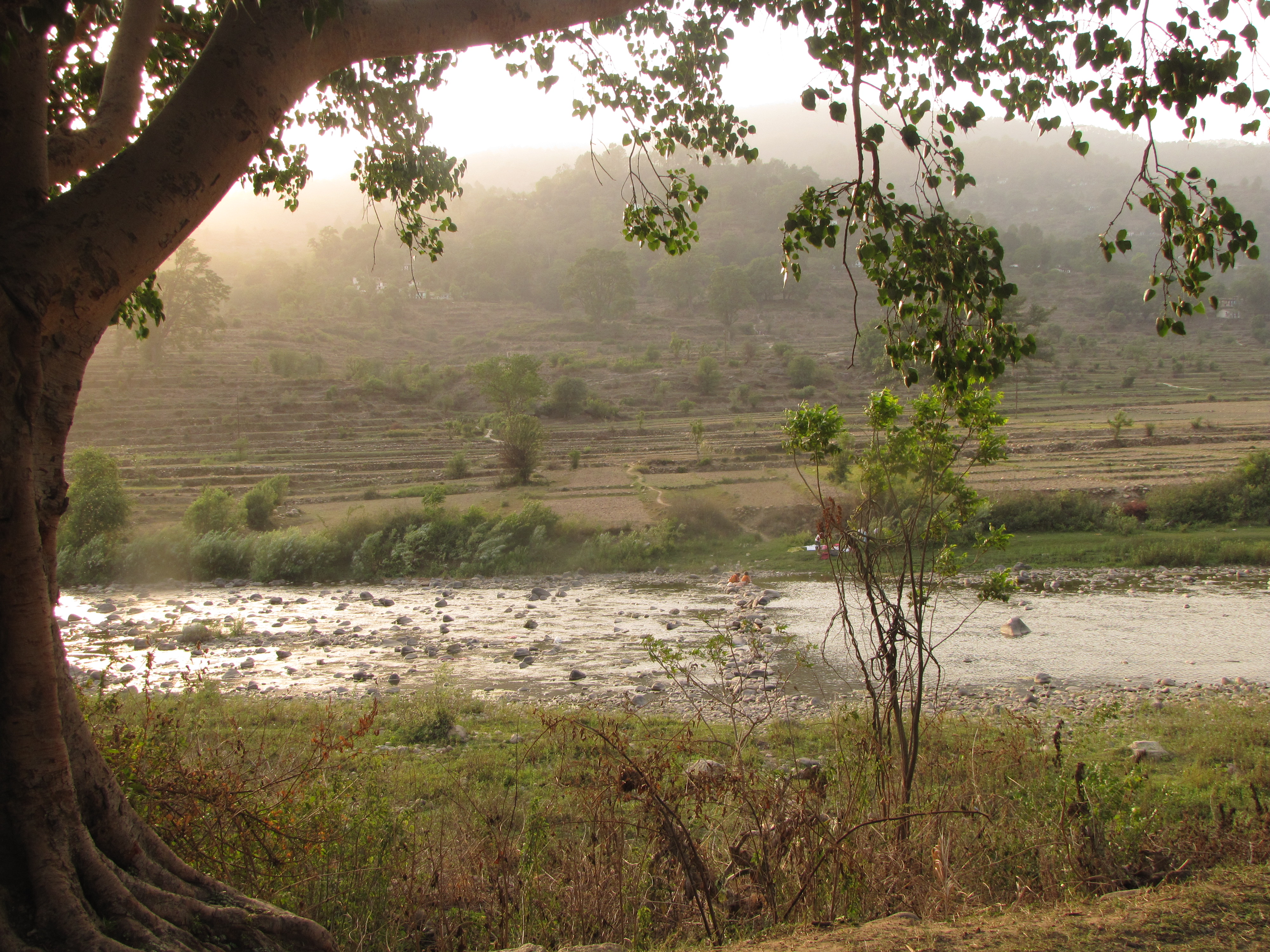
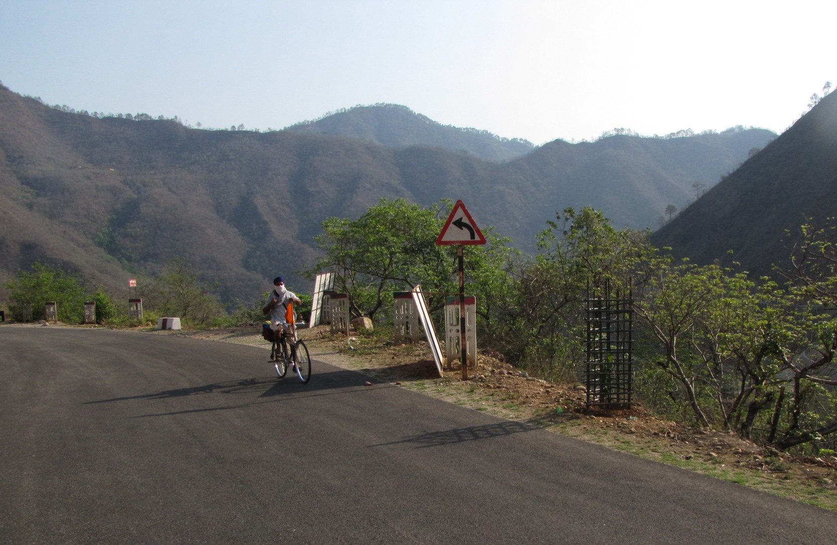
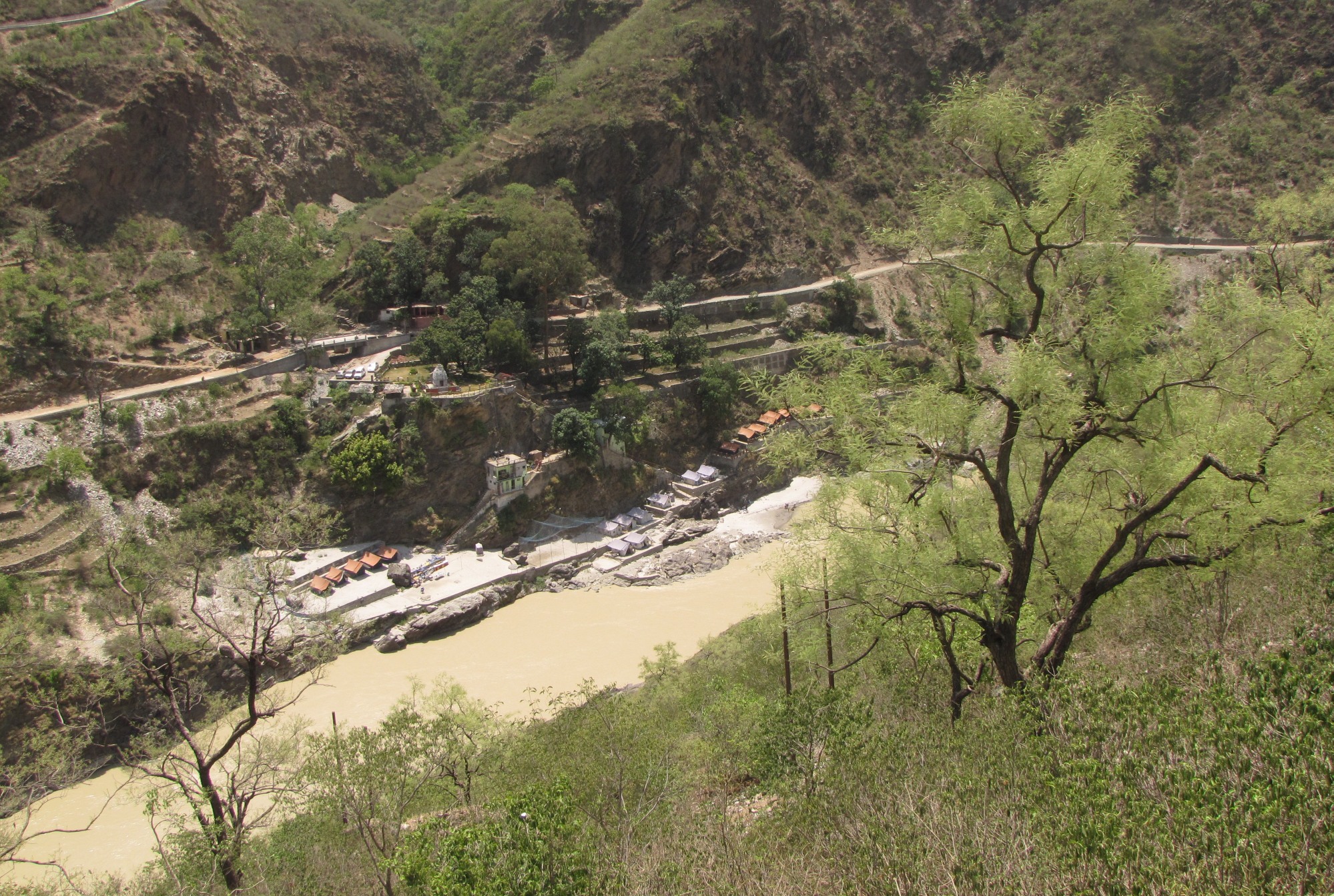
ganga villages : [TuTA ghAT 10apr]
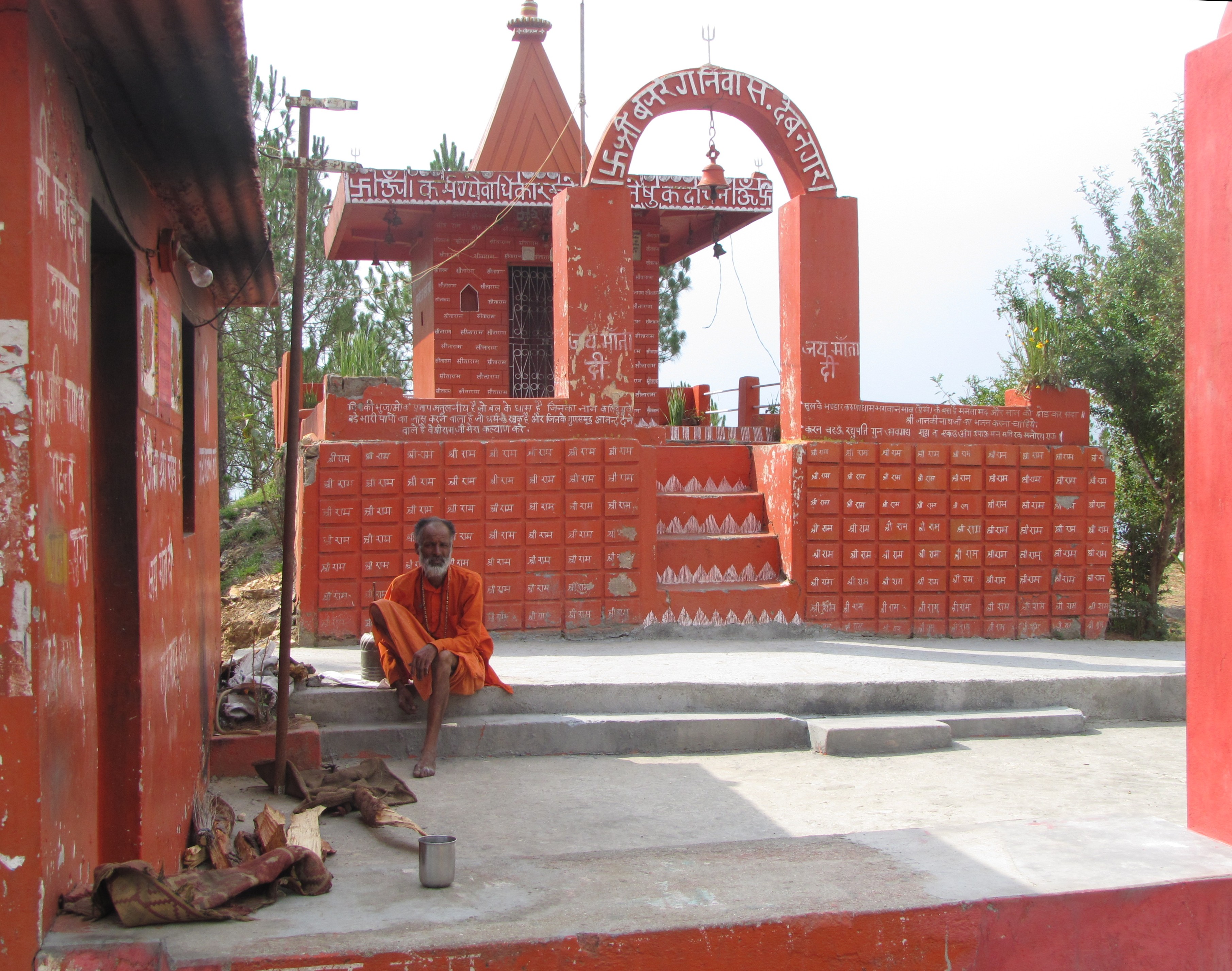
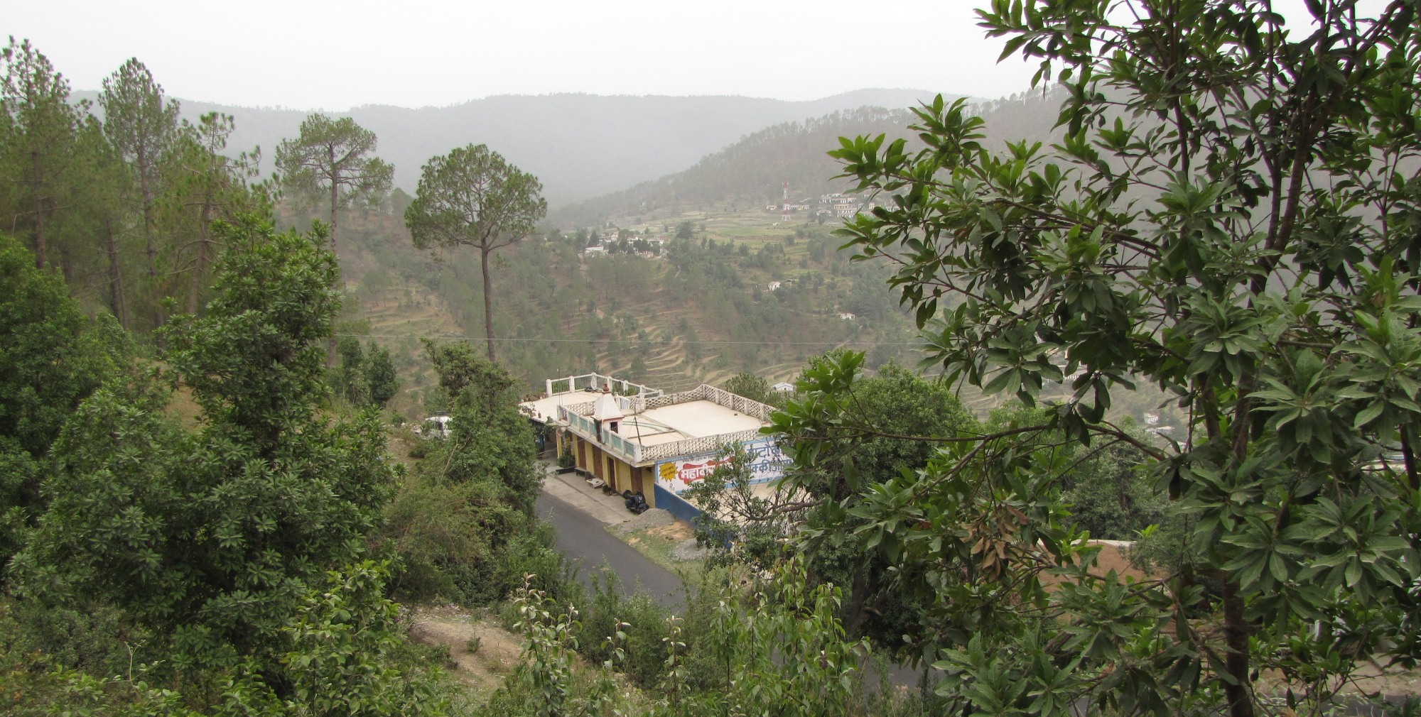
[bandimAtA 10apr] coming up: [ganga villages tour]: oct 2011
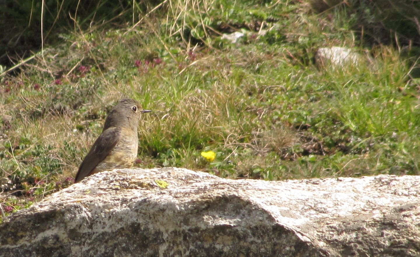
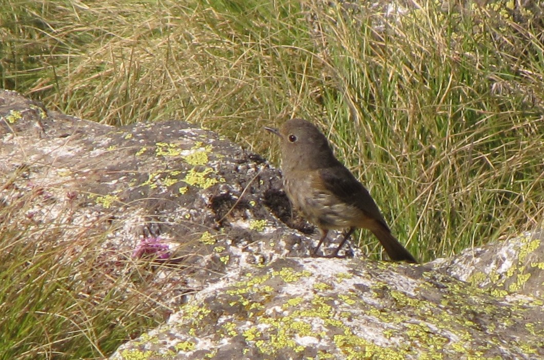
bicycle birding: [lakh-bahosi 191km 11feb]
[chaubepur 10apr]
[raigopalpur]
[gambhirpur 10feb]
[exploration : lakh-bahosi 10feb]
[Kanpur bikeathon 10sep] (2500+ riders) [IITK GJ rural bicycle tour : mar 2010] (700+ riders)
[family bicycling : 10jan]
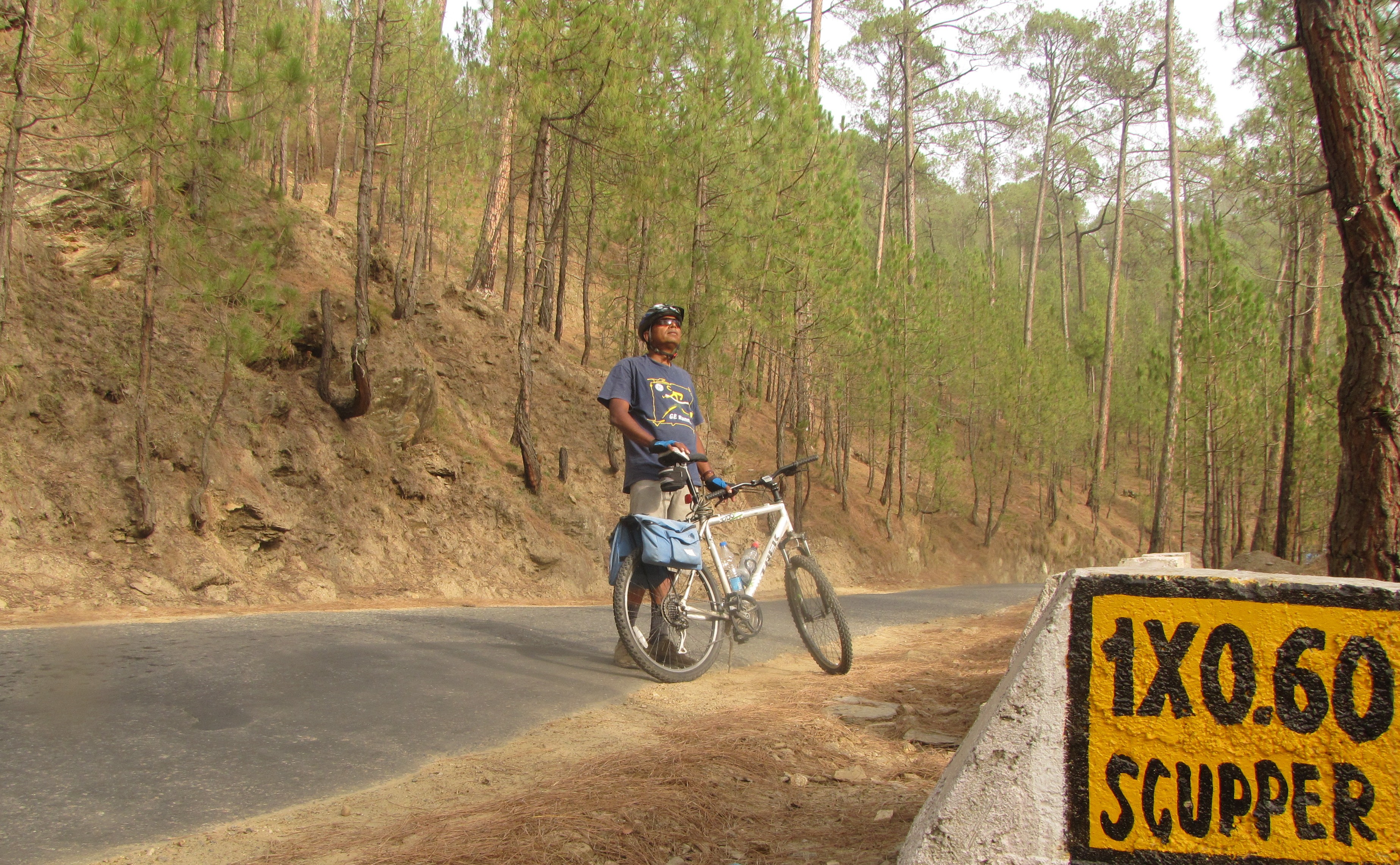
Further afield:
Himalayas [Where the Road Ends tour : munshiyari-song-gwaldam-badrinath] (jun 2010)
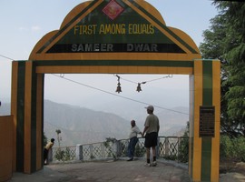
[ranikhet] (mar 2010)
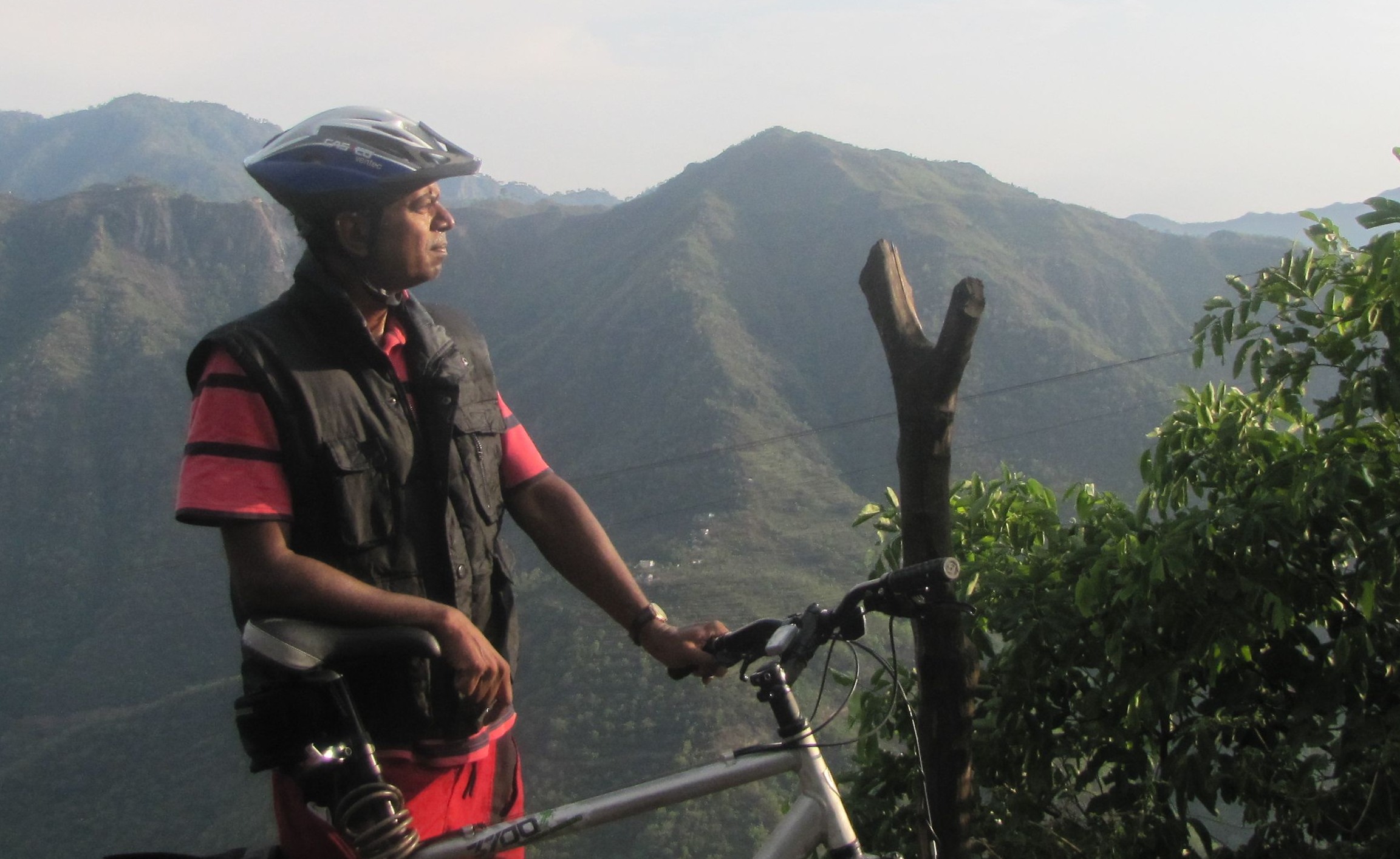
[Tour of Nilgiris 2010]
-
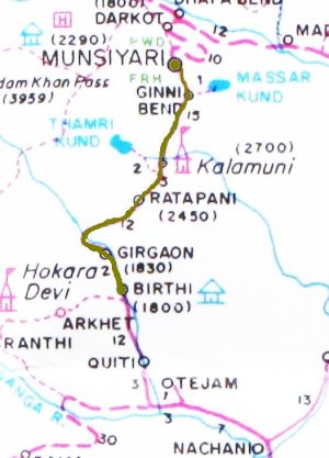
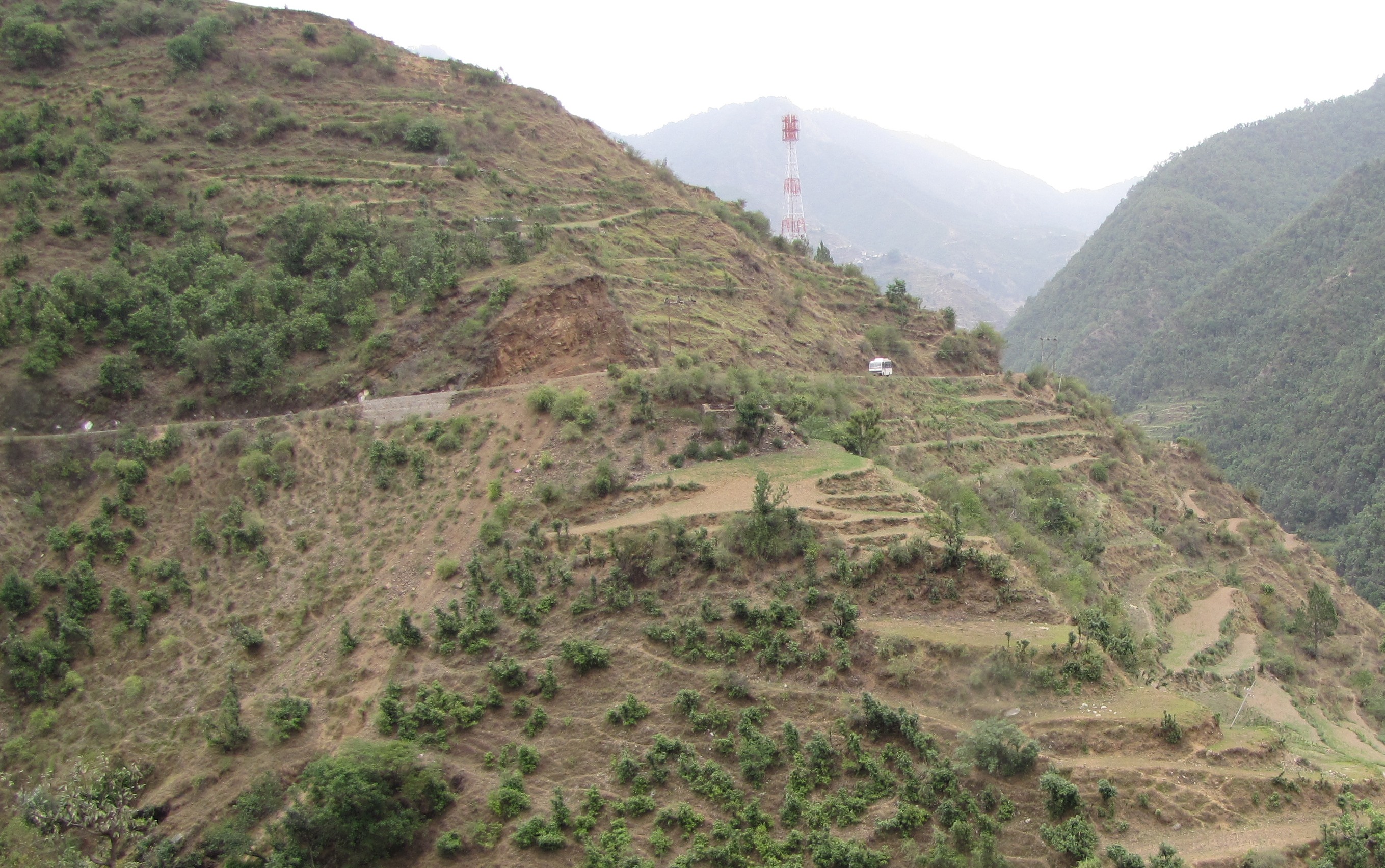
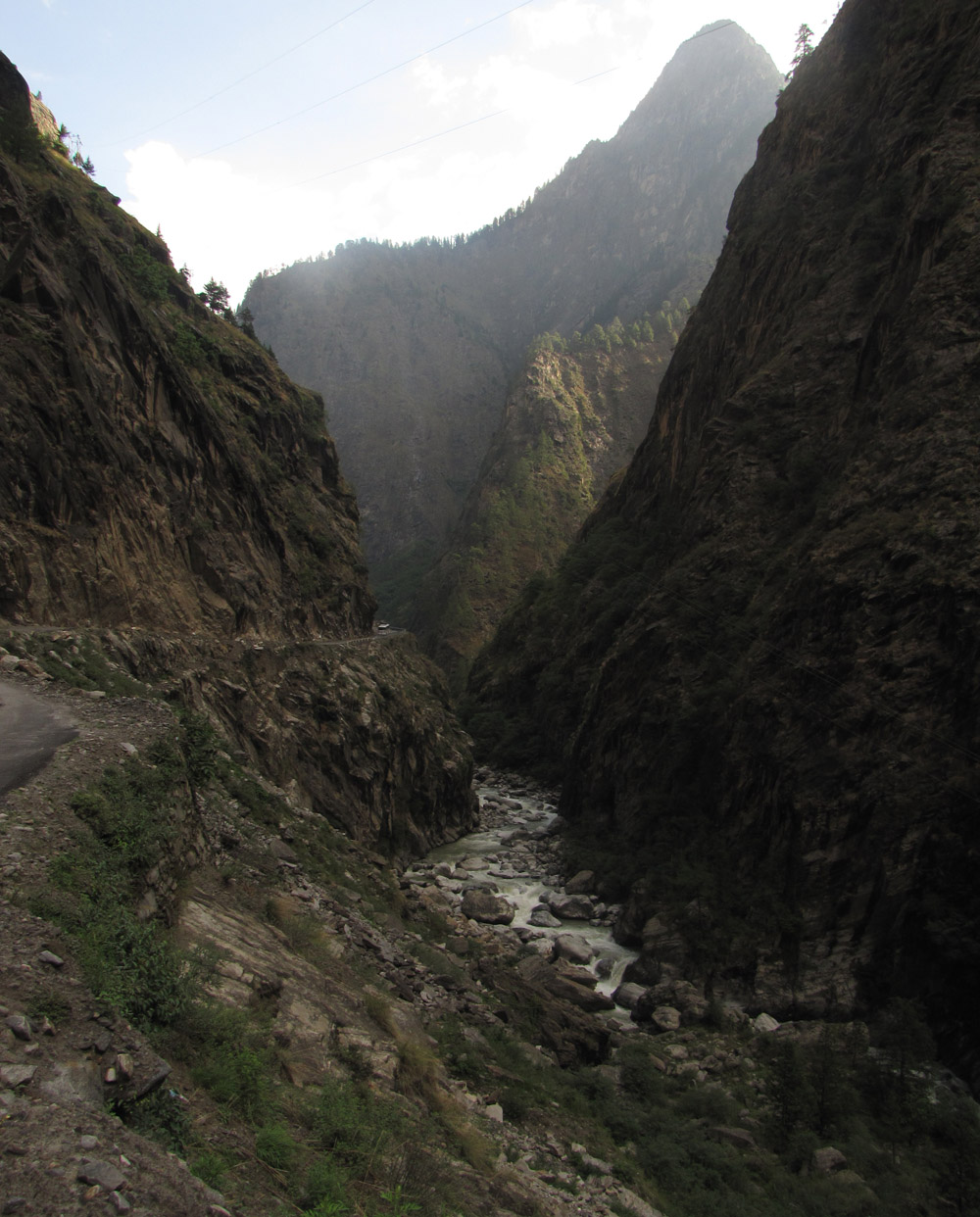
on a map of the himalayas, one is struck by the many places where the
road doesn't go any further.
the plan was to bicycle to these places.
so we called it: where the road ends tour (WTRE). - protagonists:
-
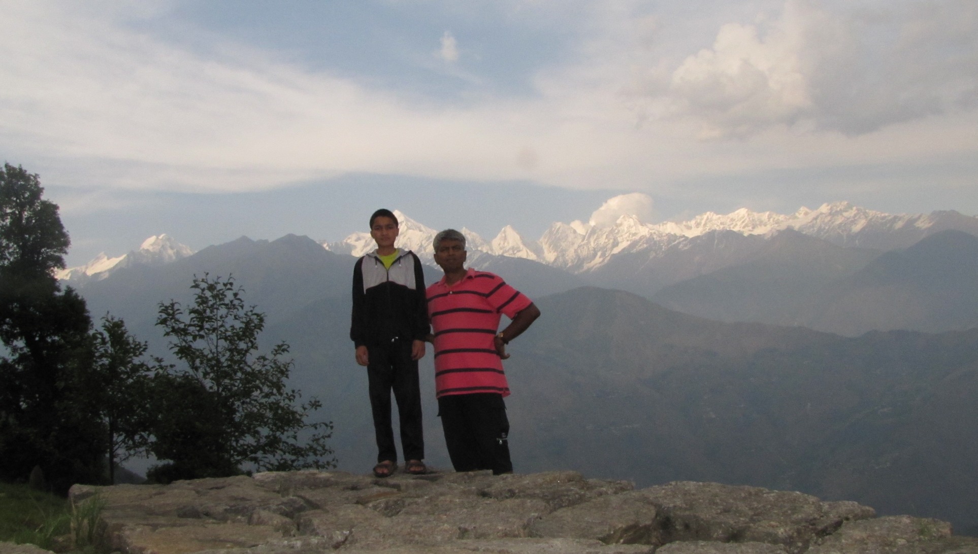
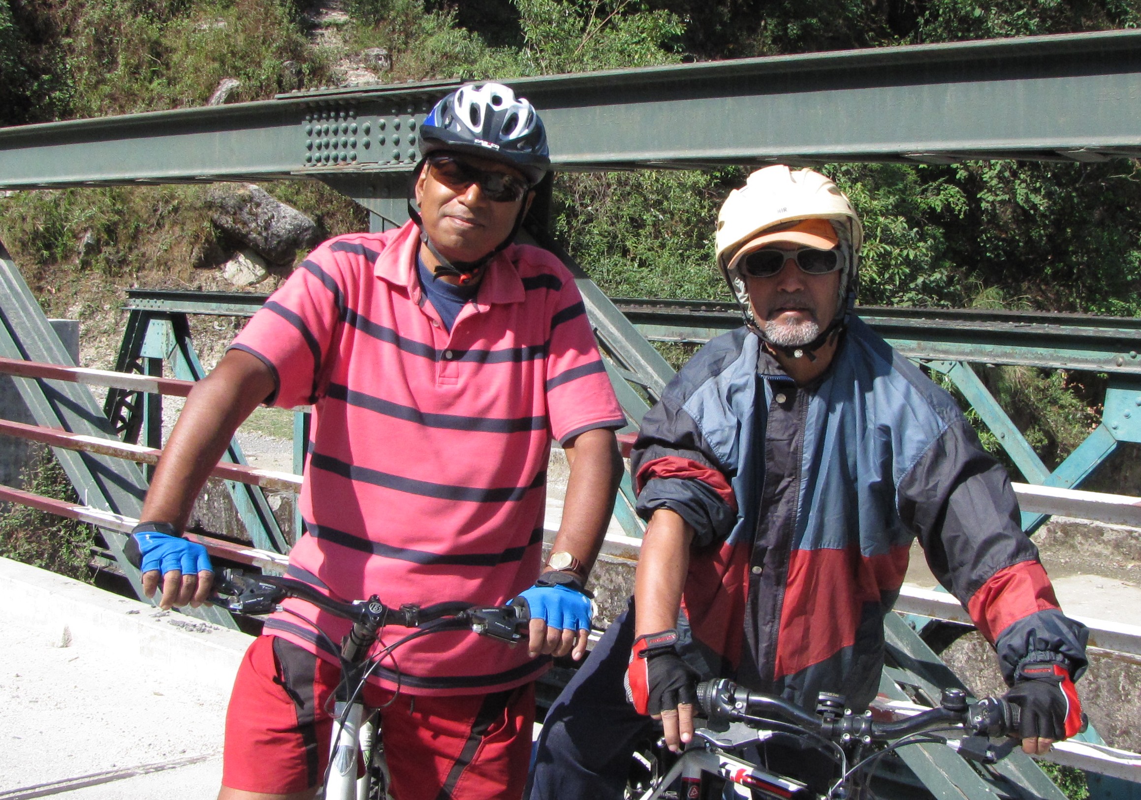
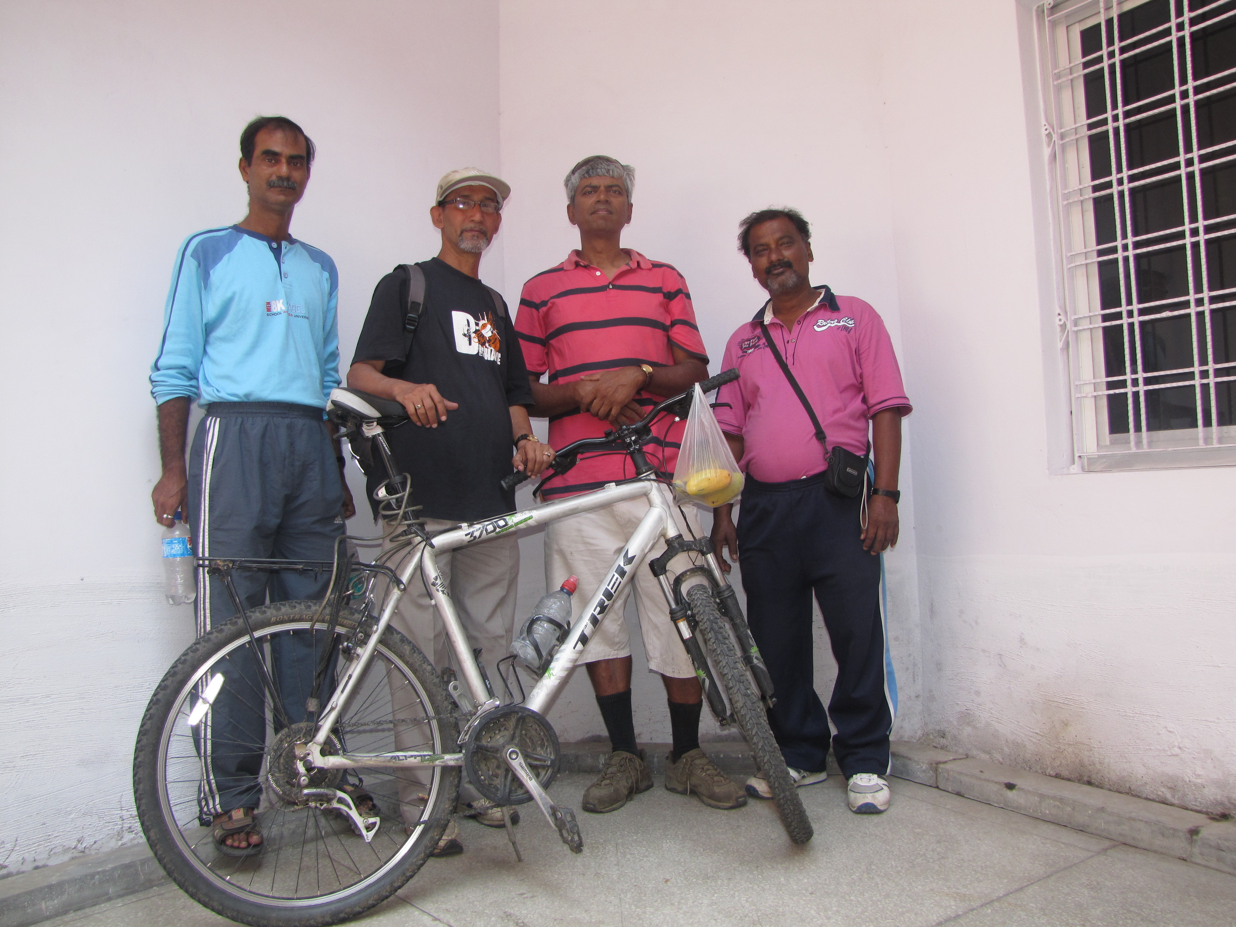
- bhaba s chatterjee (jhuntumama): retired accountant; homeopathic doctor and inveterate trekker
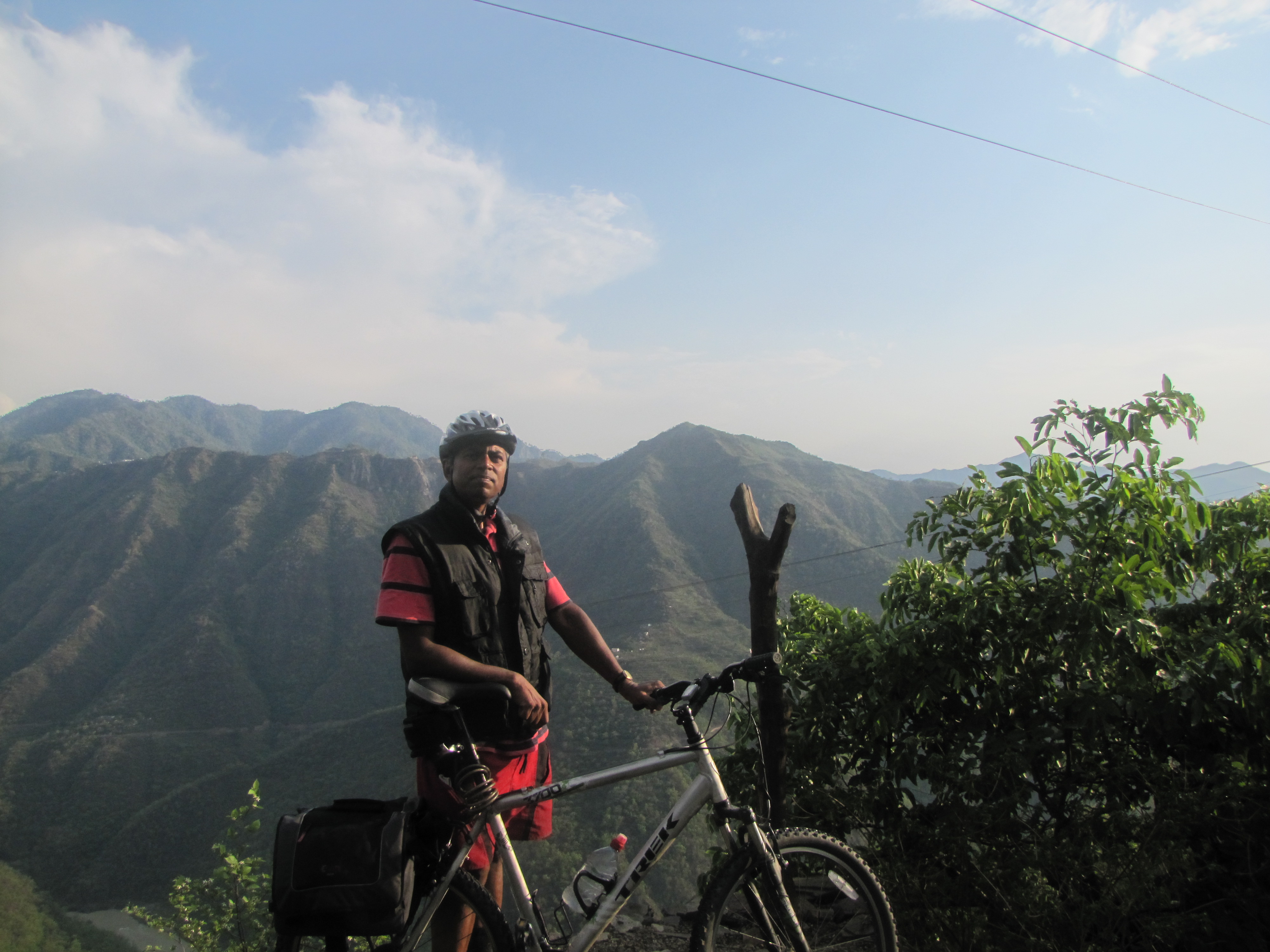
- amit mukerjee : computer scientist and roboticist, bicycle maniac. (yours sincerely)
- may 22: jhuntumama arrives in kanpur and we do a training ride.
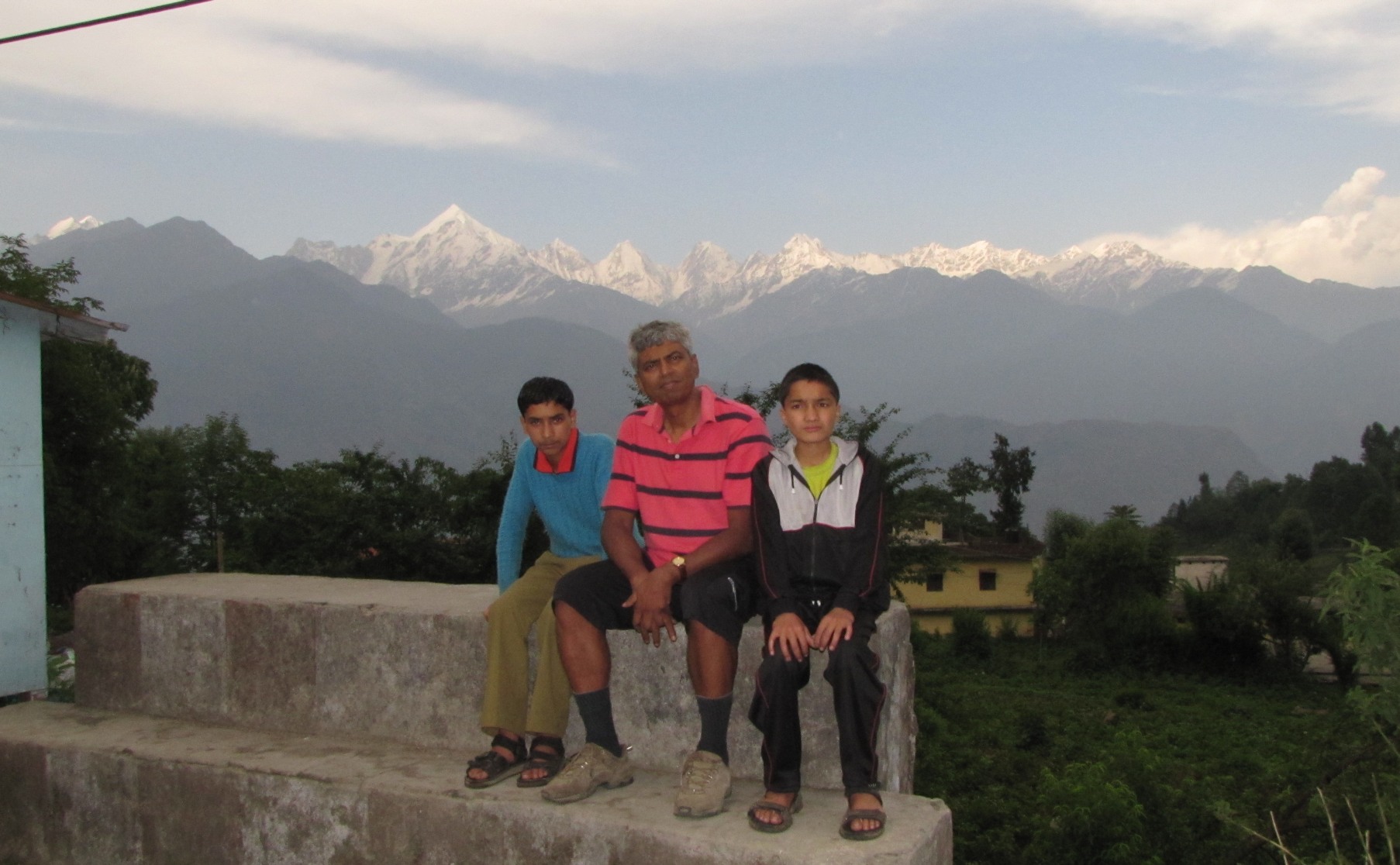
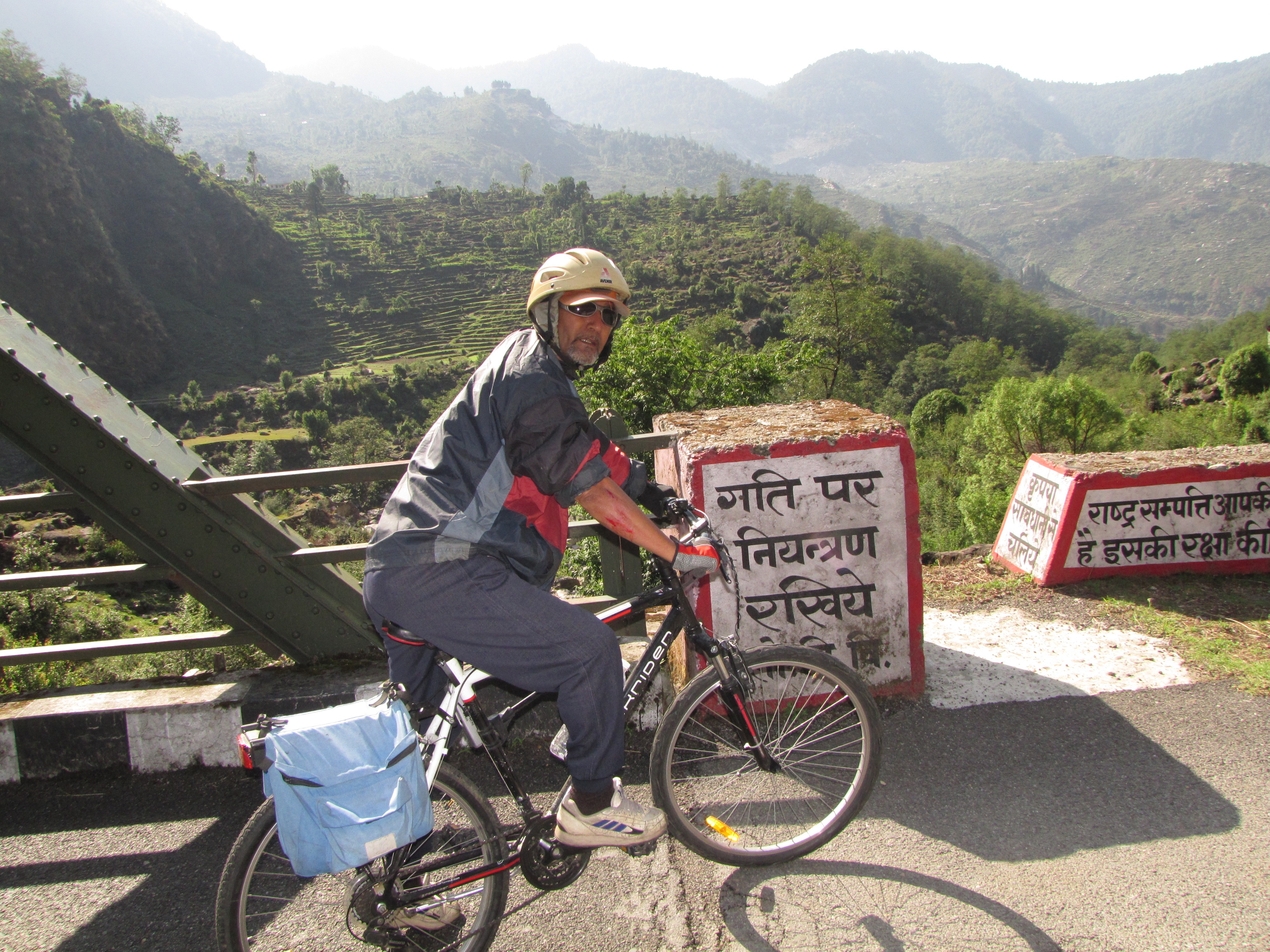
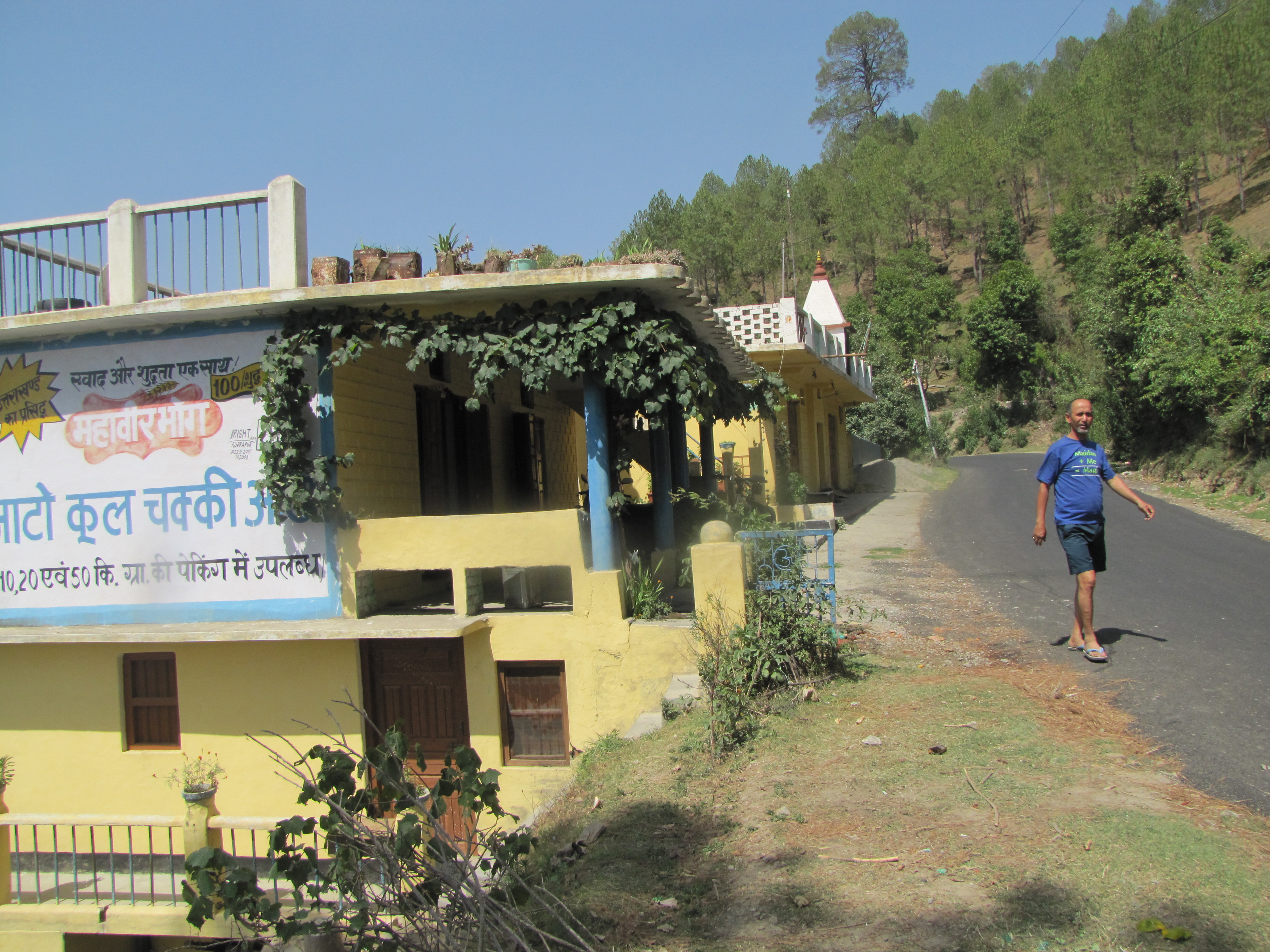
- may 23: at four in the morning, we load the qualis with two bicycles and sleeping bags and gas stove and cooking utensils and a rice cooker and books and laptops ... enough for spending three weeks by ourselves in a mountain village. luggage onto the back. drive down via bilhaur - saini - katwa - bareilly at 0900, haldwani around 12. lunch at bhowali. Ranikhet around 4pm. buy potatoes and eggs. unload bicycles and ride down to tarikhet, and then up to dawarhatti. we have taken two rooms - the doors open onto a balcony right on the main road, and the windows at the back offer great himalayan views (on good weather days). there are two beds (takhts), and devi ram sets up a few chairs for us. that evening jm prepares bhAte-bhAt.
- almora to sheraghat
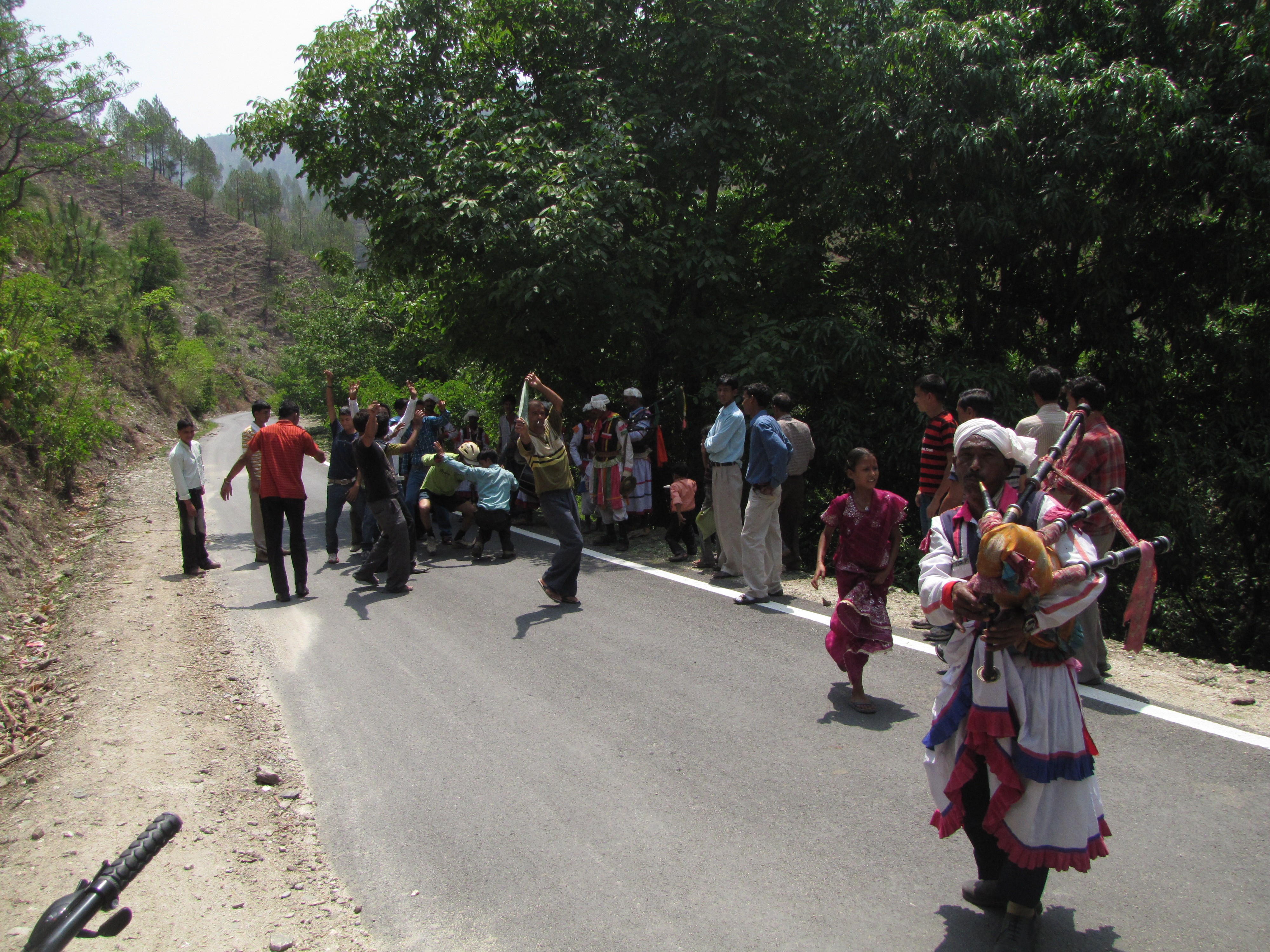
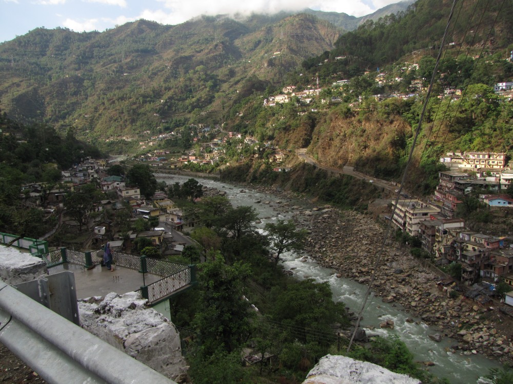
- jm is not going to ride the early part. i ride the first 7km, climbing up to ITI, where we have breakfast and then jm joins me. we do the run till palkesh?? where it crosses a stream and starts climbing and jm takes the car, but from dhaul chhina we both start to ride the undulations to sherakhet. the last 11 kms we run along the sarayu river, which is flowing down from bageshwar. en route we meet a wedding barAt on the road, and we join the festivities (see video of jm dancing to the bagpipes). they invite us to join them on the barAt, but we decline.
- patal bhubaneswar-rAiagar-berinag 15km
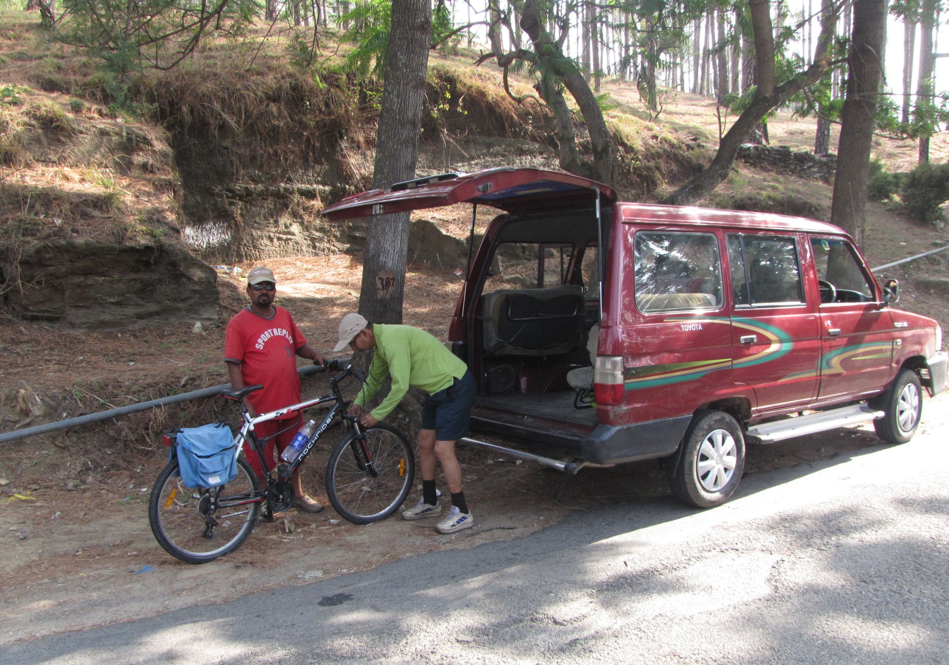
- after sheraghat, we cross the sarayu and put the cycles in the car and
drive up
to rAiagar on the pithoragarh-berinAg road. we visit
patal bhubaneswar, which is 19km from rAiagar (in the other direction).
We manage to reach there by about 3pm and do a tour of the subterranean
cave - the guide shows us how the cave is spread out under sheshnAg's hood
faNA - indeed a layer at the entrance does look a bit like a cobra's hood.
The cave is about 30m deep (add a few m to the deepest point). On the way
back, I am riding again, but abt 3 km before berinag, stormy winds and
droplets of rain start
buffeting me. we have a long drive coming so i too pack the bicycle.
en route to thal, we pick up the driver of a stranded jeep.
at thal,
there is a diesel place and we fill up
the tank for the hills.
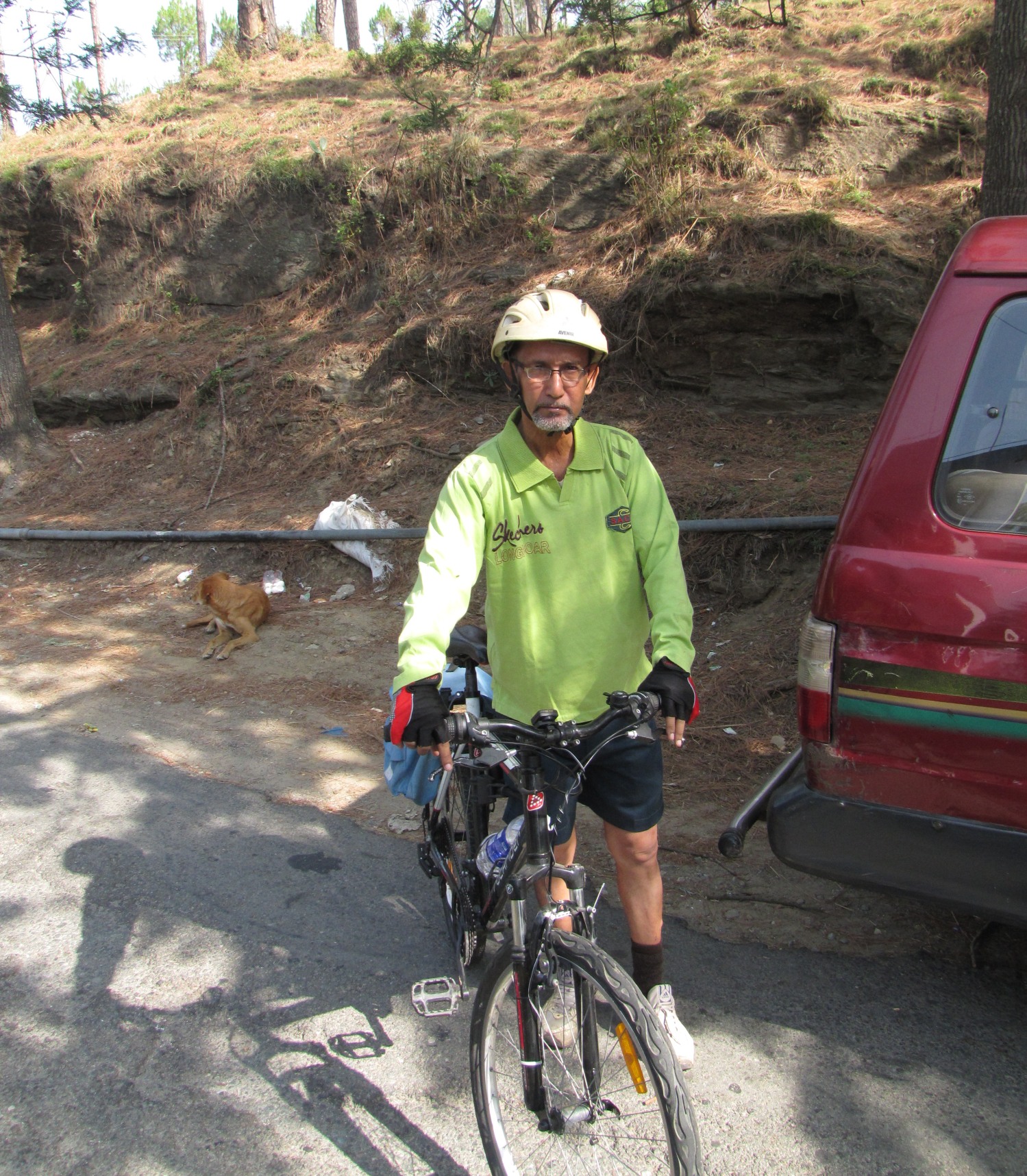
jm at the patal bhubaneswar gate.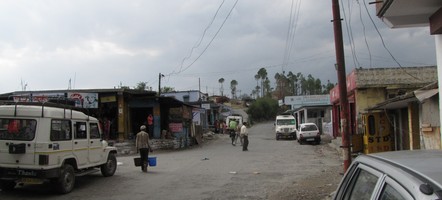
raiagar - i am the little blob just past the pedestrian in the middle. rainclouds are gathering. - overnight at birthi falls
-
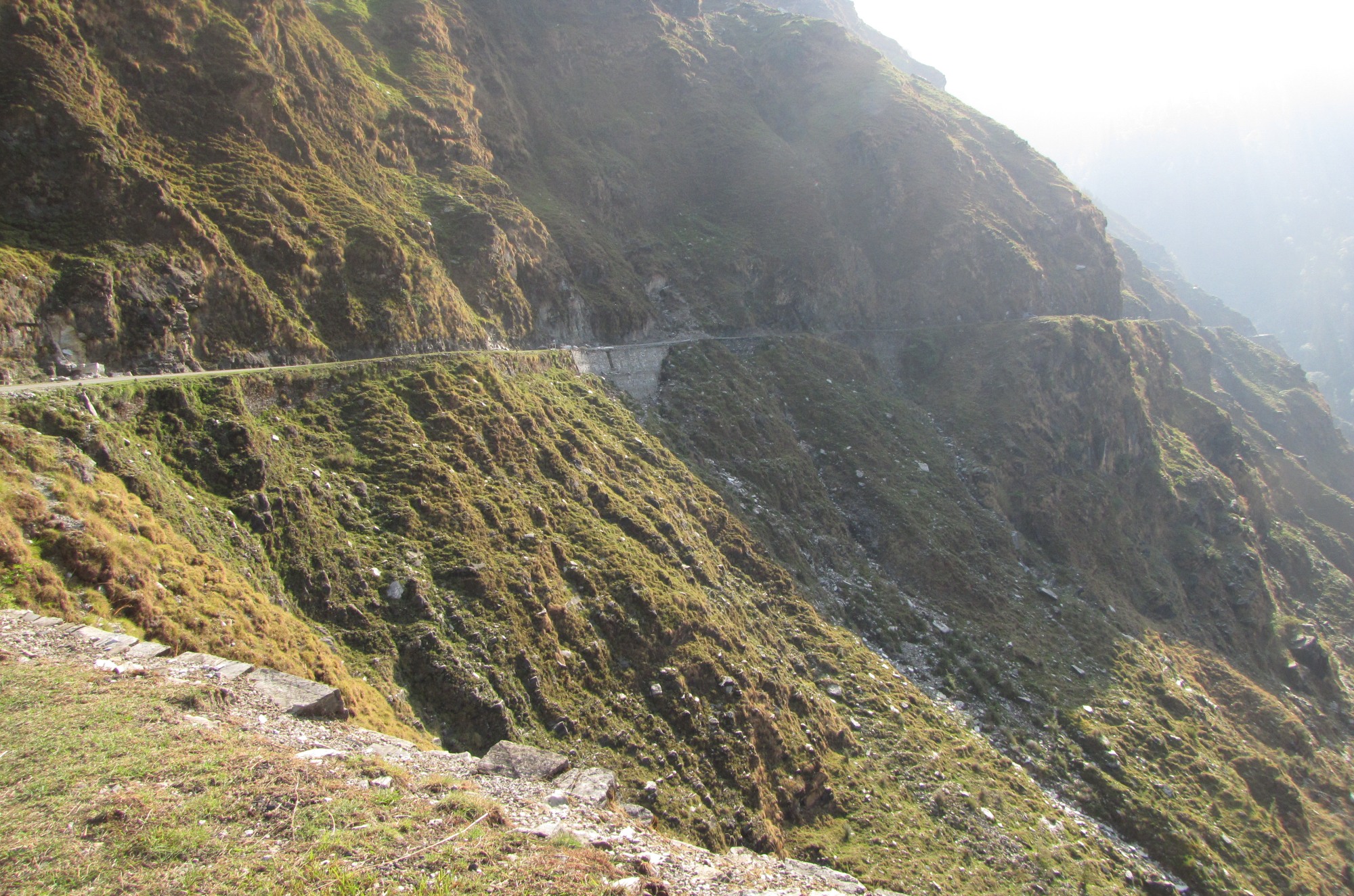
a little beyond Thal, it turns dark and we are driving precariously along
the rim of the ram ganga river. Munshiyari is 72 km away, and we figure
it may take about three hours in these hill roads. there is almost no
traffic. far away in the gloom, three pinpoints of light from the other
side of the river. our headlights illuminate a short strip on the
pavement. the road surface is in good condition except every now and
then the road is raw mud...
on a map of the himalayas, there are so many places where the road doesn't go any further...
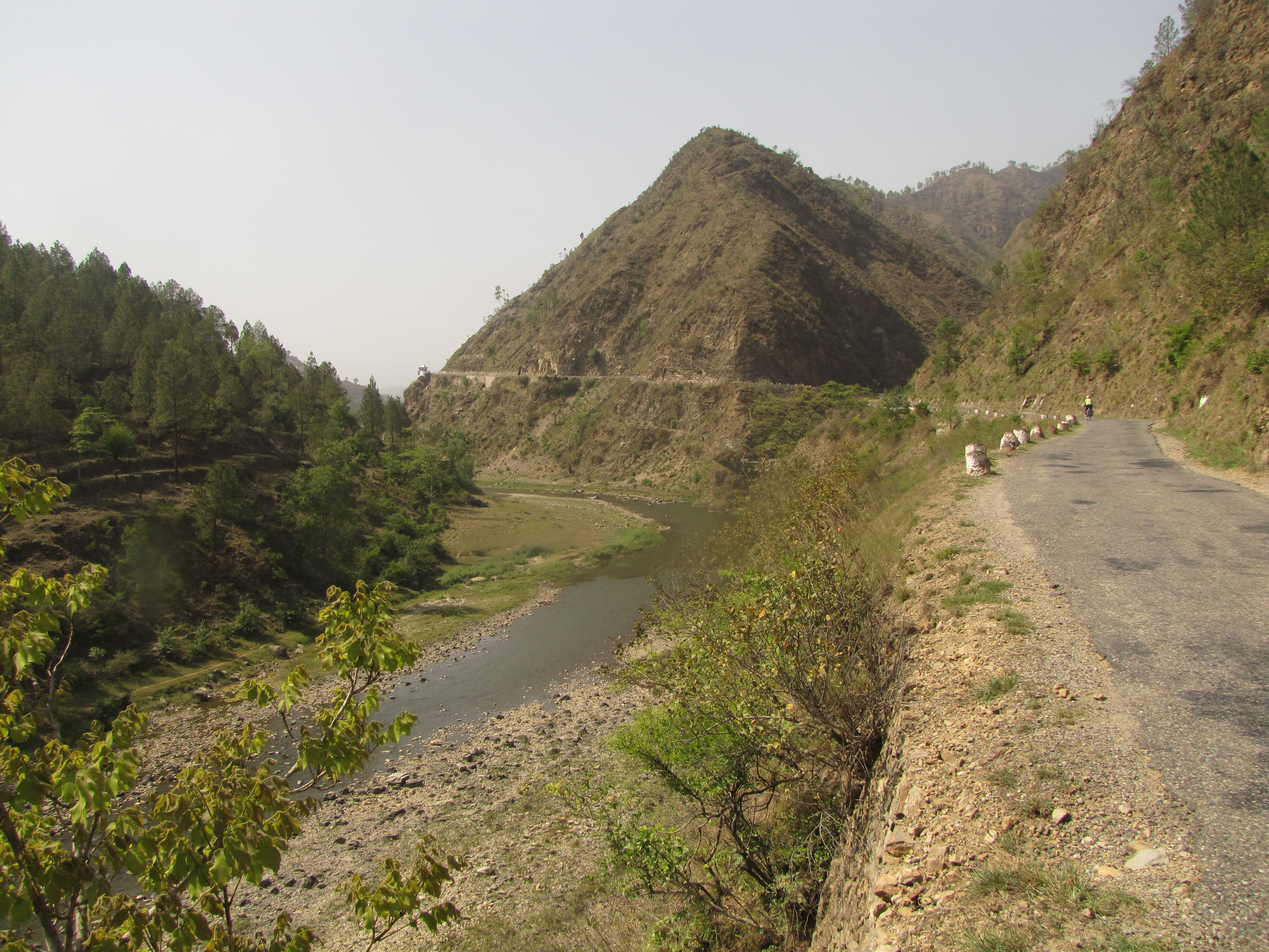
we are going slowly, keeping as far as possible away from the edge while our driver, raju tells us stories of how he was once behind a scooter on the road to joshimath when a landslide came and buried the two sardarjis riding it. we go across a bridge at nachani, where the market is closing down though its barely past 7. beyond tejam, we strike out of the ramganga gorge, the engine protesting in the low gears as we climb. it is quite late as we cross quiti, and we don't find any shops that can sell us any drinking water. raju is driving very cautiously and we'll probably not get there till after ten pm. just then, we cross a building to the left and it turns out to be the kmvn guest house, birthi falls. it turns out they have a room so we crash for the night. even dinner is available. - starting from birthi falls
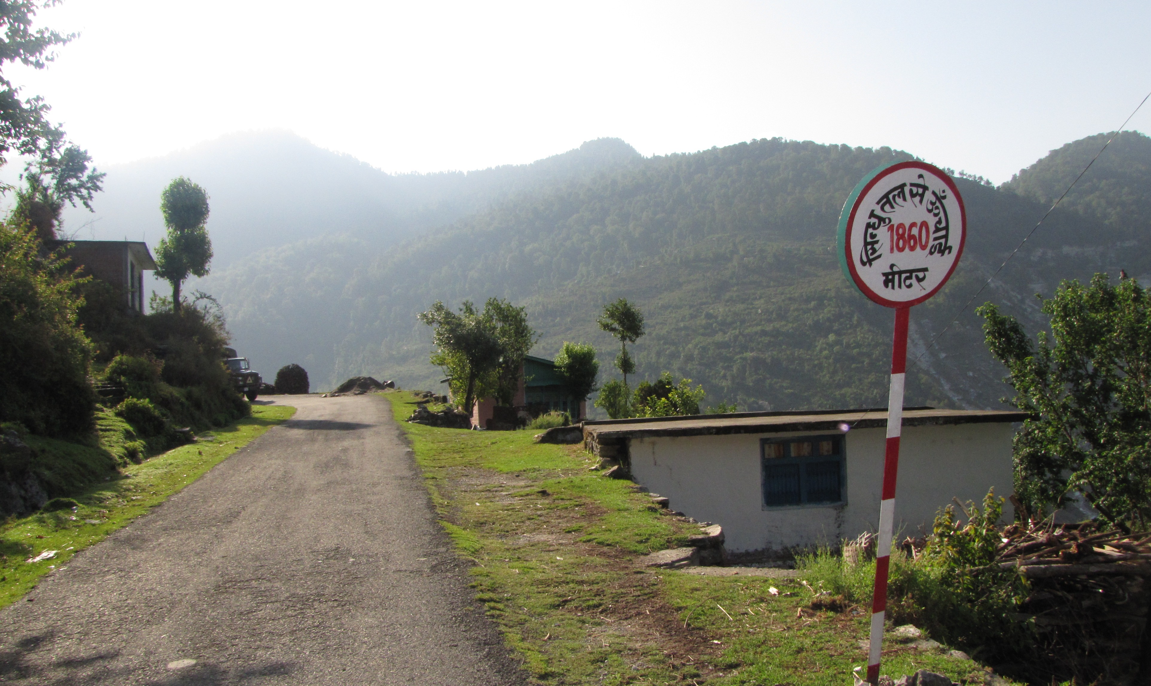
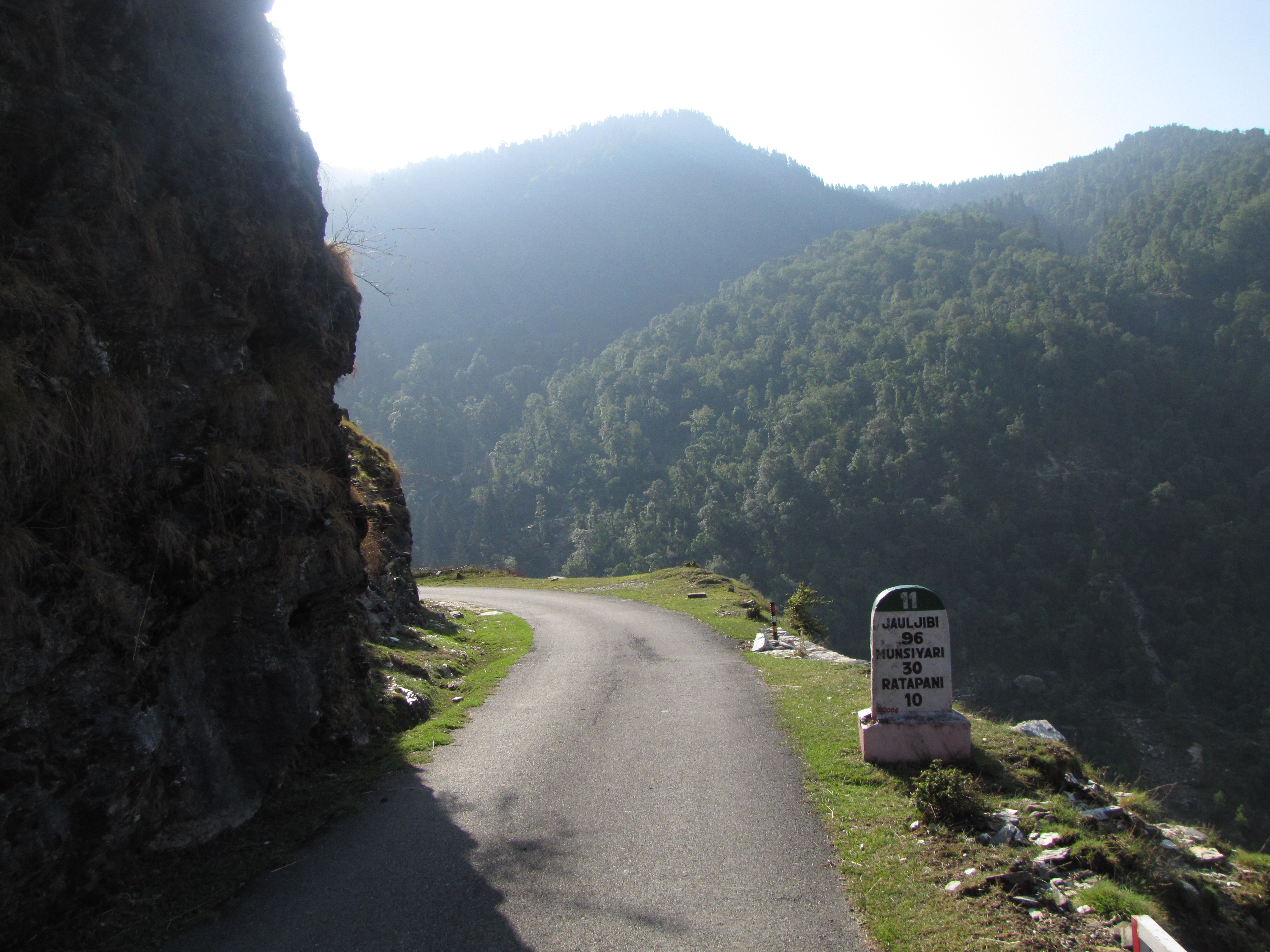
- birthi falls KMVN - we wake up to the sound of water. it turns out that the birthi falls is right behind the guest house, visible from our balcony. it is a thin stream now in this summer drought, jm tells me it was a much wider torrent later. we quickly get ready. jm is not going to be riding today; but it is my dream to ride into munshiyari so i am off and climbing by 7 am. starting at 1800m, i soon cross a sign saying 1860m. a couple of kids race me as they run a bunch of cows with a stick, yelling "o cycle-wallah". but the road isn't too steep here, and i am on 2:4 so i soon outstrip them. jm soon overtakes us in the car, and the plan is to find some place for breakfast. despite last night's water crisis, i have forgotten to take water this morning, and the half-bottle left from yesterday's route to berinag is soon over. fortunately, by then i manage to reach gir gaon where a fw people sitting at a hut readily fill my bottle. subsequently i also manage to get some water from a) a tavera car that is parked by the road, b) a truck that was overtaking me, c) a couple of tubewells by the road. in between, I realize the front hub appears to have a lot of play - i manage to tighten it using an adjustable spanner on one side and a thin spanner on the other. the people in these remote villages are a lot poorer than the villagers in the ranikhet area all of whom seem to be quite well off. according to the kmvn staff, it's 40km to munsiyari, and the road climbs steeply till kalamuni (about 15km) after which, its mostly downhill to munsiyari. expectation is an amazing armour. knowing it was uphill, i could keep spinning away, mostly around 6-7 kmph (1:1), sometimes at 13 (2:4). there were no downhills, no respite for the entire run till kalamuni. the mileposts kept talking about ratapani, which was at 2450m. in between jm comes back with the car, saying that there were no breakfast places en route, and that the road is quite steep and i better put the bike into the car. however i am set on reaching munsiyari and i let them go ahead a second time. another problem is that my mobile, airtel, has no connectivity in pithoragarh - here it's only bsnl, it seems.
- kalamuni
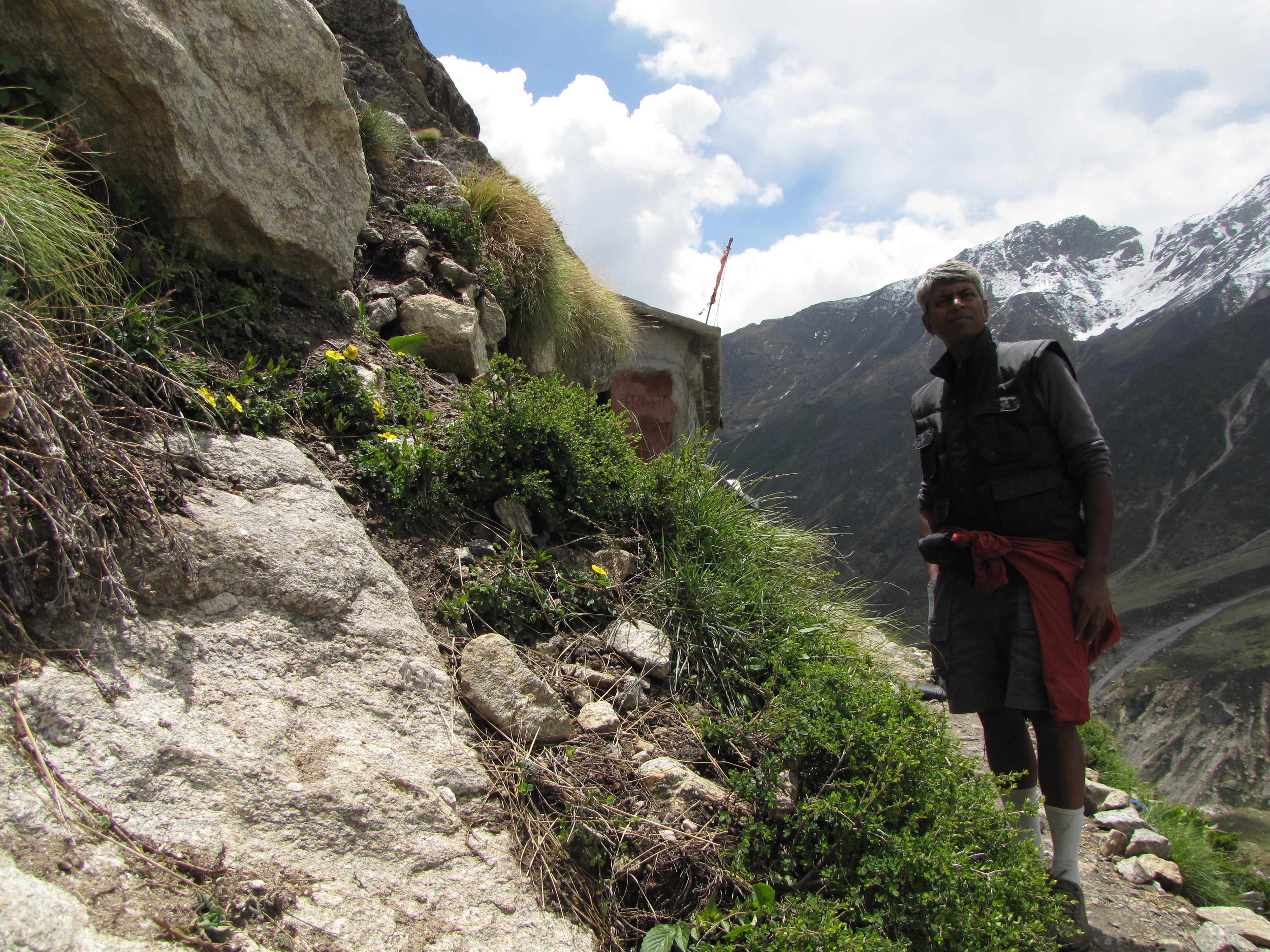
- after ratapani, i meet class eight student kailash singh dhupuria, who was sitting on a cliff gazing out over the vast expanse of the valley. i stopped my bike and took a photo with him and then he started walking to kalapani, which he said was near enough. i walked with him a bit. he lives in girgaon, but also lives in kalamuni, where he has relations. after some time, he took a "short cut" up the ravines, singing a hindi song while he went up. i went chugging along the road. very soon he was a couple of switchbacks ahead of me. At this point, it said 18 km to Munsiyari, and it was already 10 AM. I had been on the bike for nearly 3 hours, and come about 14.5km. A couple of switches later, I saw a smiling kailash coming down the road to greet me. As soon as we made the turn, i could see the snow range of the middle Himalayas - the panchachouli (five cooking pots of draupadi) - a series of five peaks near the tibet border he took me into the kalamuni temple, a very "alive" goddess; every taxi driver operating this route stops to pay obeisance to the goddess. the previous baba, called nanga baba, used to stay naked, even through the winter, but he has recently passed away and his "samadhi" room, where he went into the heavenly abode has been preserved. we went up on the roof which had a terrific view of the vast valley and the glittering panchchauli flirting with the clouds. this was our first view of the snow mountains on this trip; visibility is usually poor in the summer.
- Afternoon
- On the way back from the bank, I encounter Anand, who has a bicycle, and is quite keen on cycling. i let him go on my bike for a short ride. in the evening, he and his friend Govind Goswami take us to the park at ginni bend with the dried-up lake (meser kund), telling us stories of how the kund used to be a much larger lake, but now most of its dried-up bed has become a meadow.
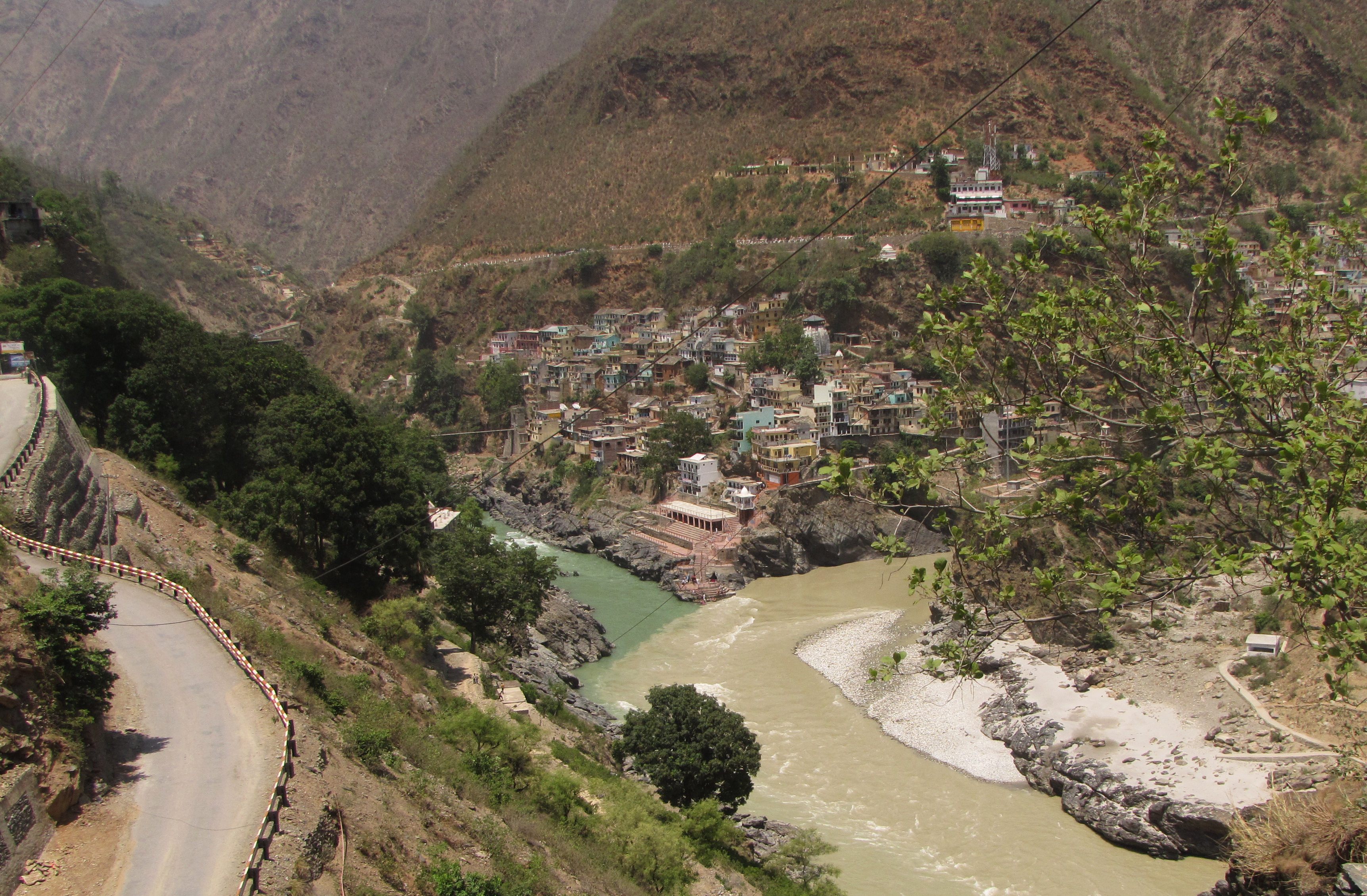
- vishnuprayag (1370m, near joshimath), where dhauliganga, originating in the malari glacier beneath dhaulagiri, joins the alaknanda.
- nandprayag (870m), where [w:nandakini], originating in nanda ghunti (6300m) on the nanda devi sanctuary in kumaon, joins the alaknanda
- karnaprayag, (730m), pindar from pindari glacier near song / loharkhet
- rudraprayag (610m) : mandakini, flowing down from chorabali tal near kedarnath
- devprayag (475m), where the bhAgirathi, coming from gangotri glacier, joins the alaknanda; after this the river comes to be called the ganga.
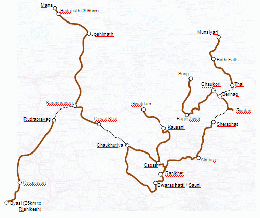
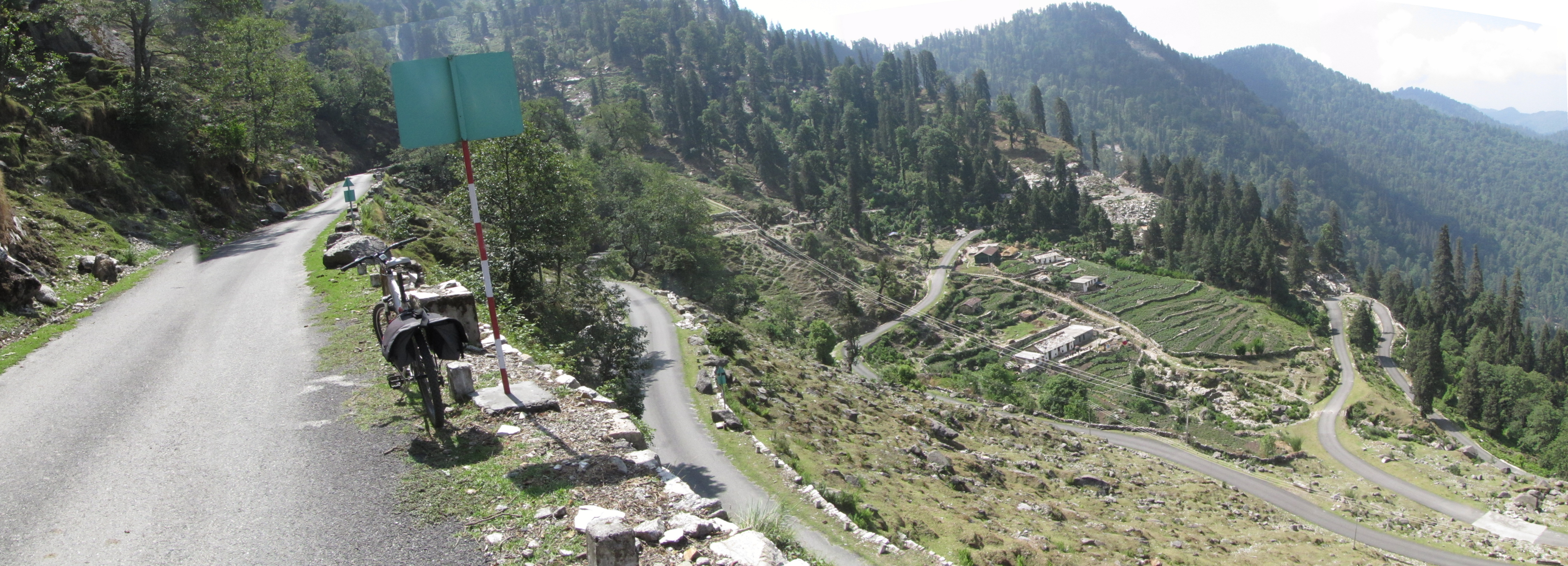
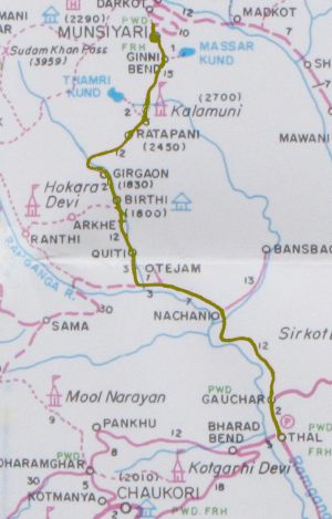
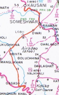
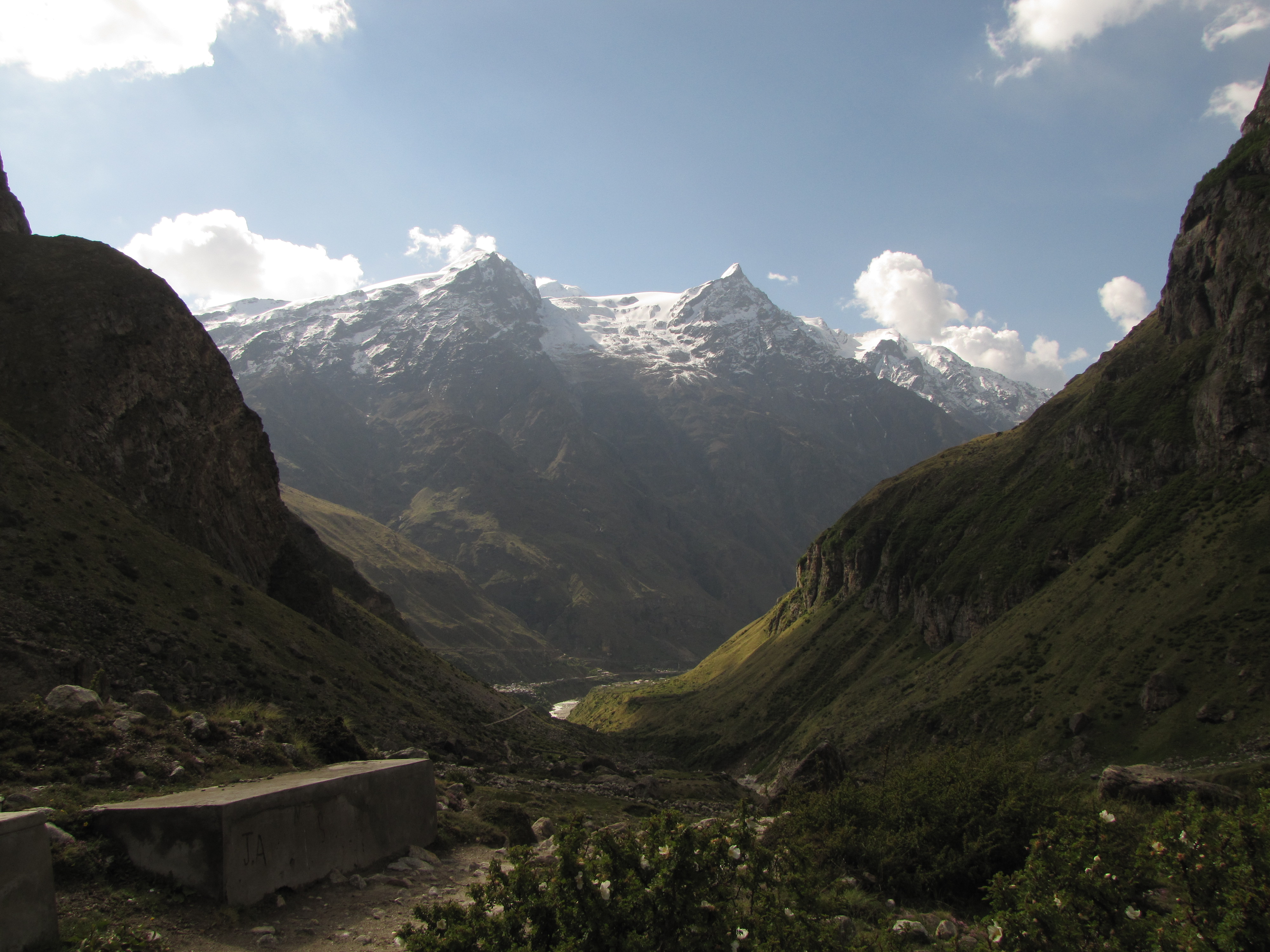
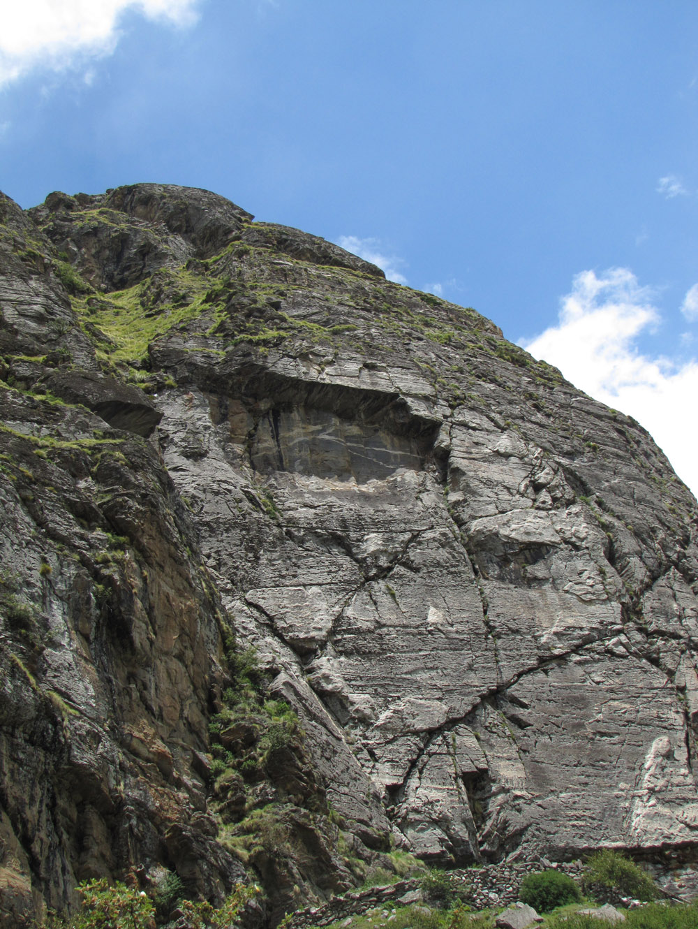
where the road ends map: 1. munsiyari, 2. song, 3. gwaldam 4. badrinath-mana. the main road ends at each of these points; you can only go further by trekking.
our base, the small hamlet of dwaraghatti, is near ranikhet at the bottom.
total distance covered: 905 km, in 11 days of cycling.
the genesis
Long ago...
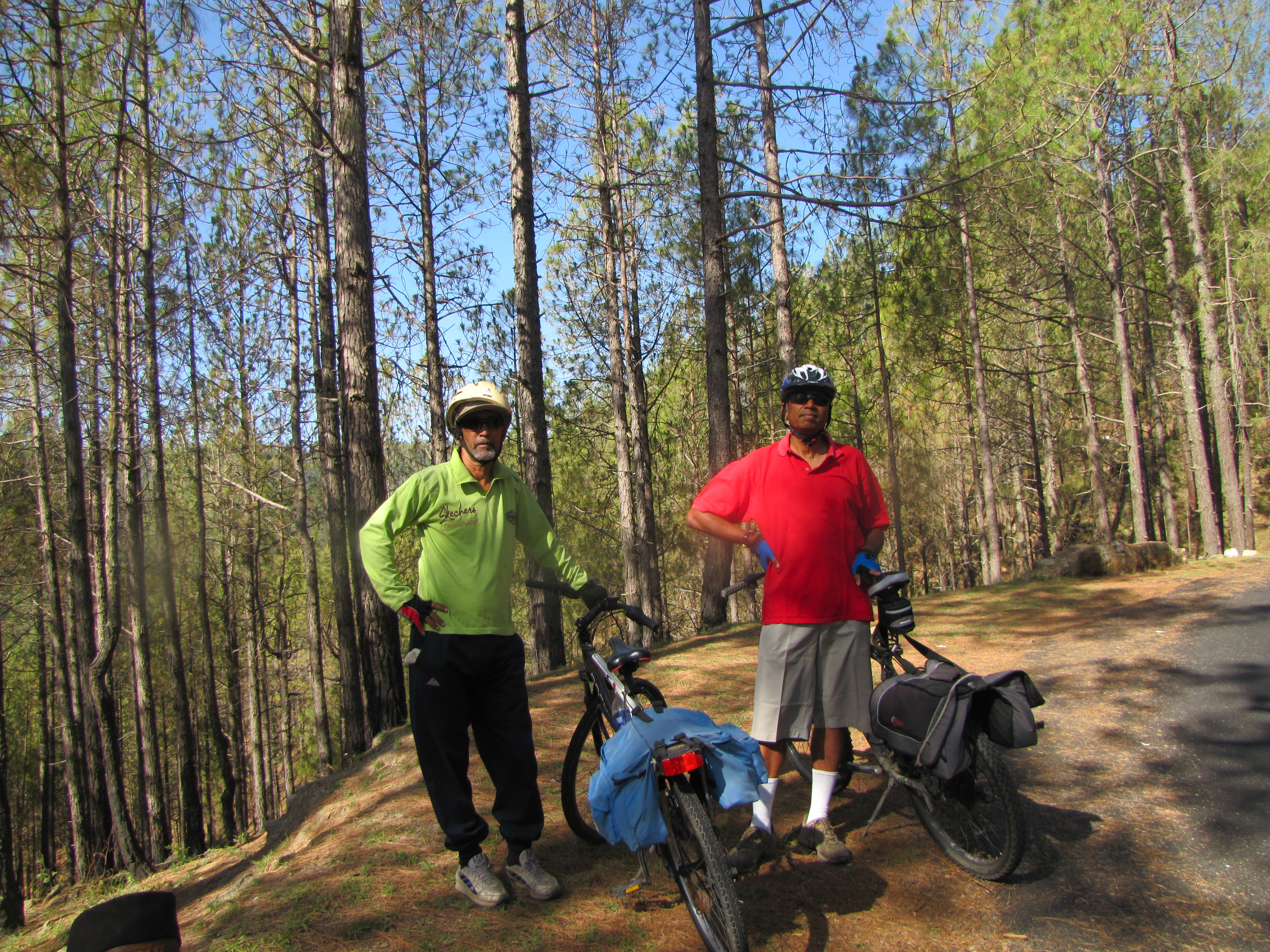
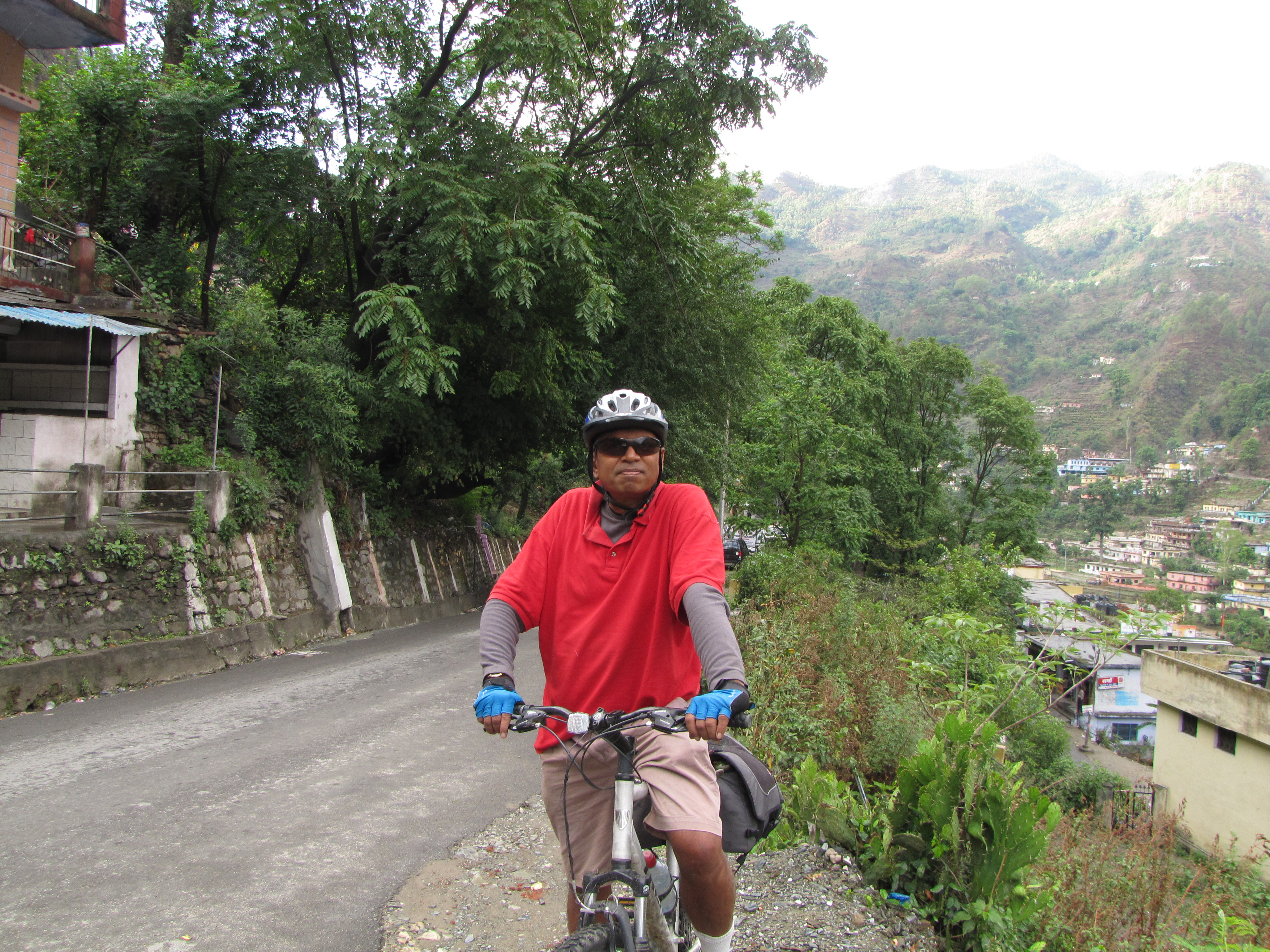
many years back, my uncle Jhuntumama landed up in my hostel room in kharagpur, and enticed me to bunk classes and go on a 400km, 3-day bicycling trip to Puri. this summer, i returned the favour. i invited jhuntumama, a very active himalayan hiker, to join me on a bicycling expedition to the uttarakhand himalayas. our "where the road ends" tour visited four roadheads in uttarakhand: munshiyari, song, gwaldam and badrinath-mana. during an earlier himalayan bicycling trip led by saumyen guha, i had fixed up a small house in the village of dwaraghatti, 15km beyond ranikhet, with a grand view of the snowclad nanda devi range. devi ram, the owner, worked in the forest department, and seemed a nice man. at four am on May 23, we loaded a qualis with two mountain bikes, and started for this village home. by 4pm, we were cycling among the pines, from ranikhet to tarikhet, and then up the steep hill to dwaraghatti.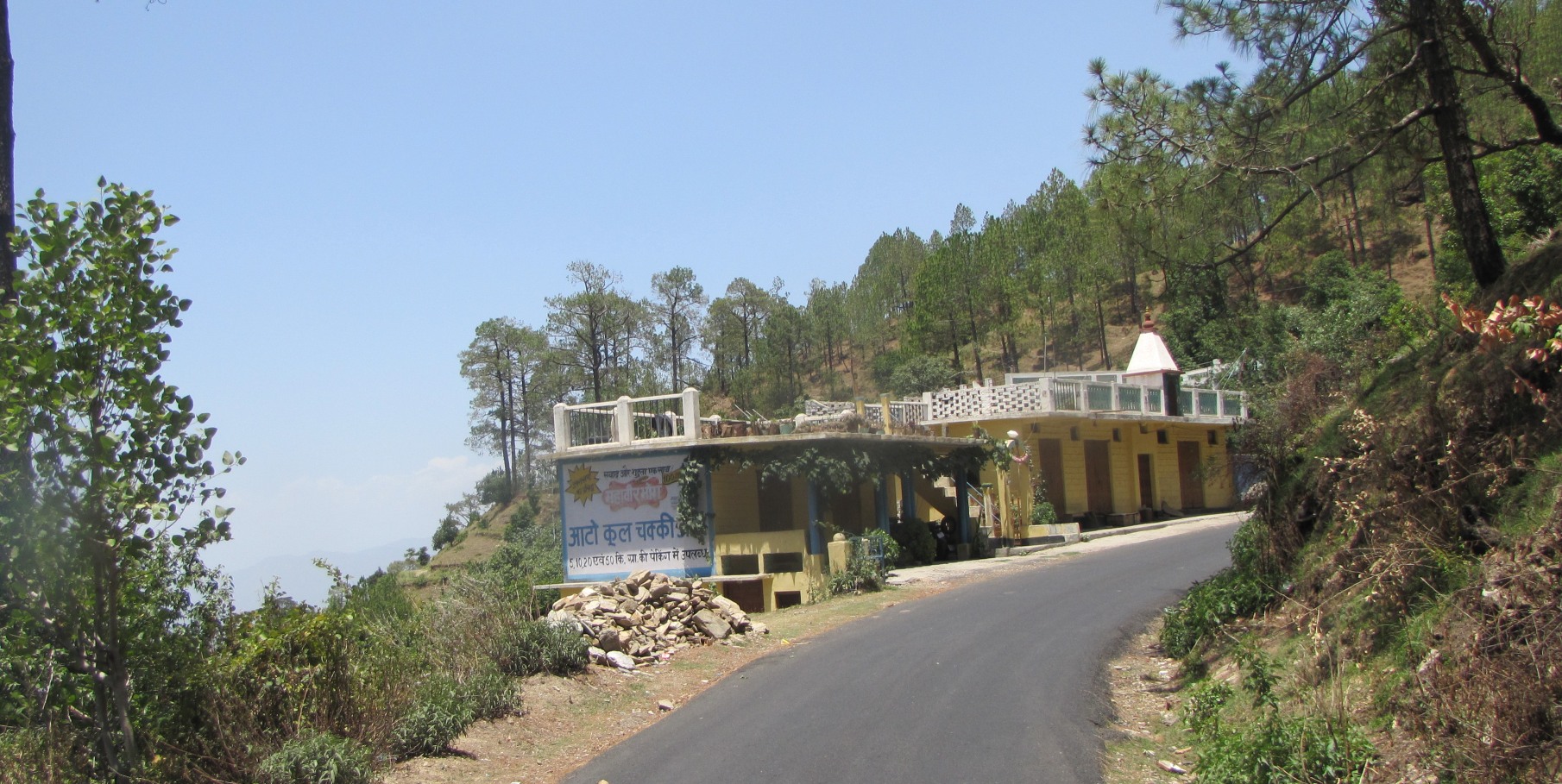
devi ram's house at dawarghatti.
May 22-23: getting there
jhuntumama going down to tarikhet before the climb to dawarghatti (may 23)
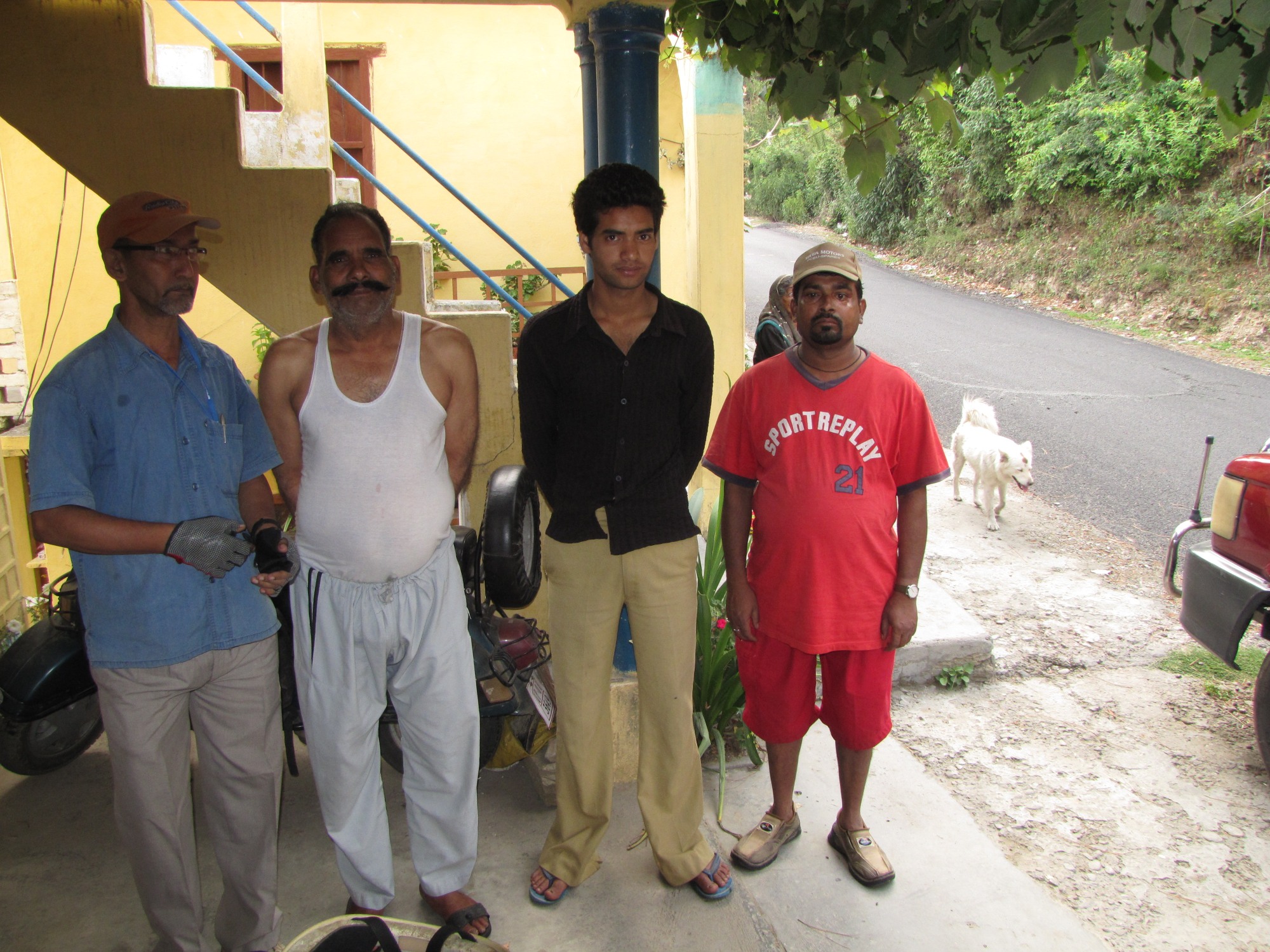
jhuntumama, with our landlord devi ram; his younger son bhuvan; our driver raju.
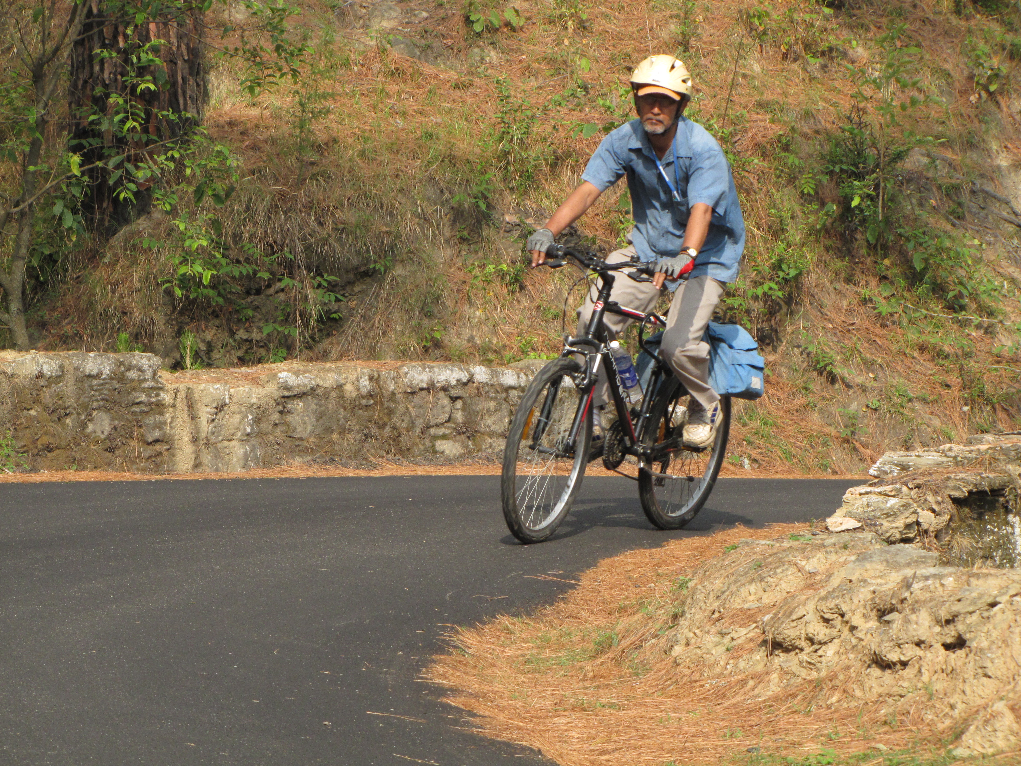
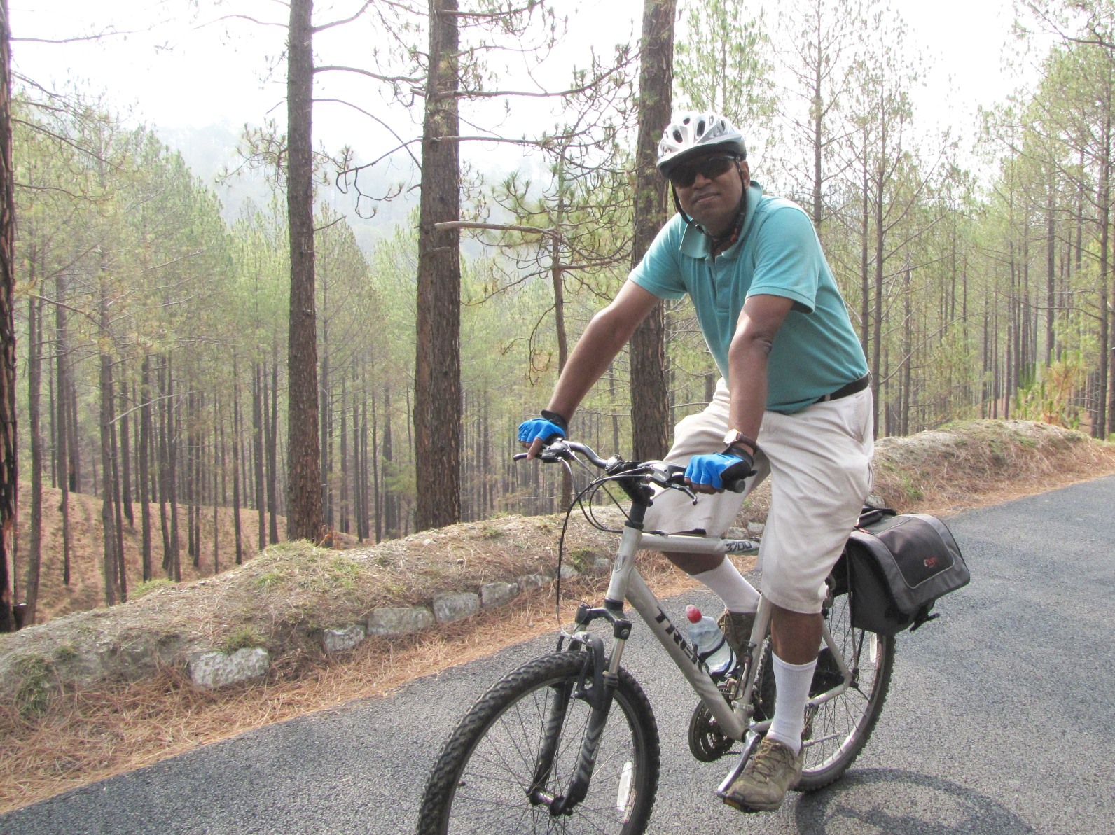
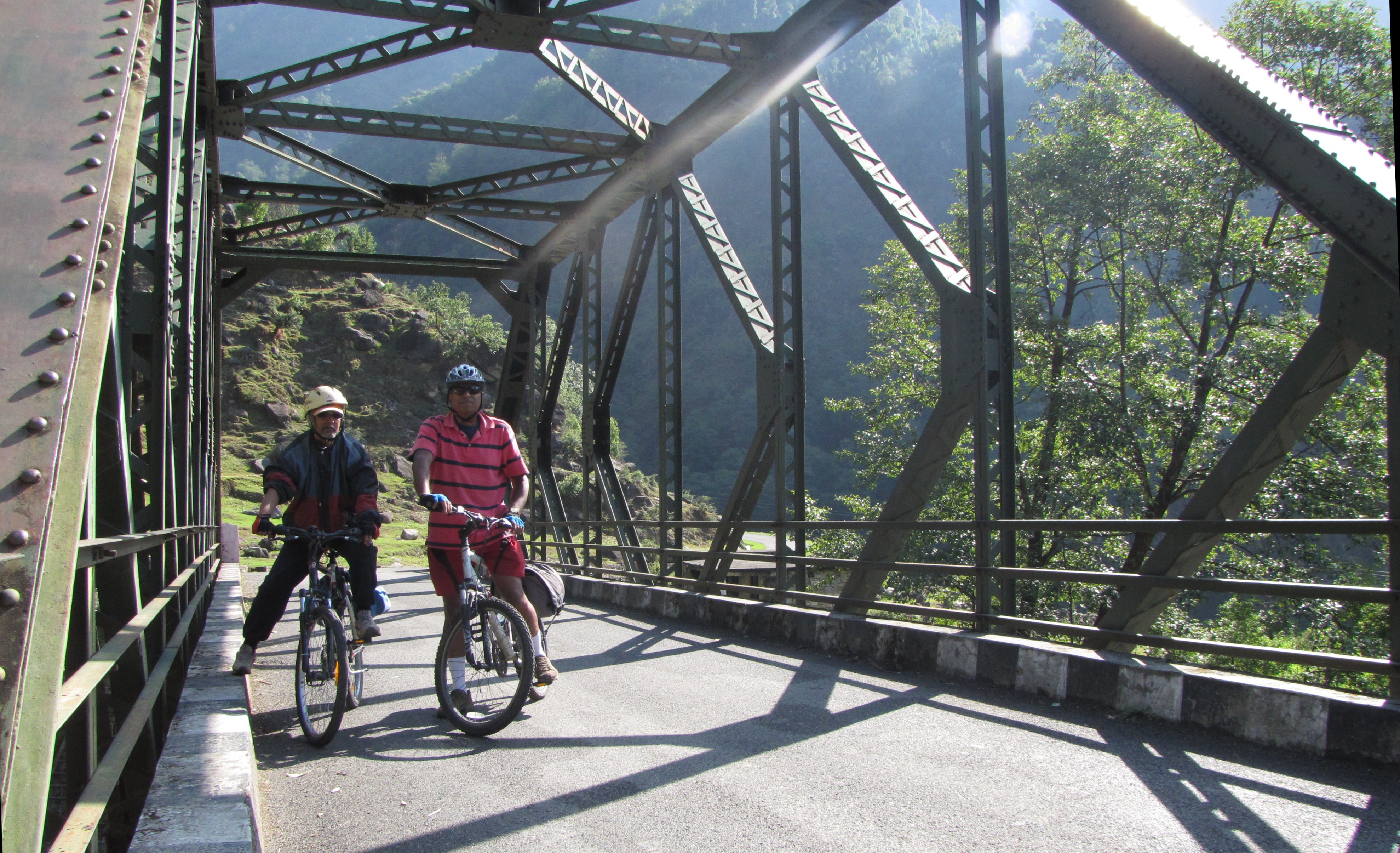
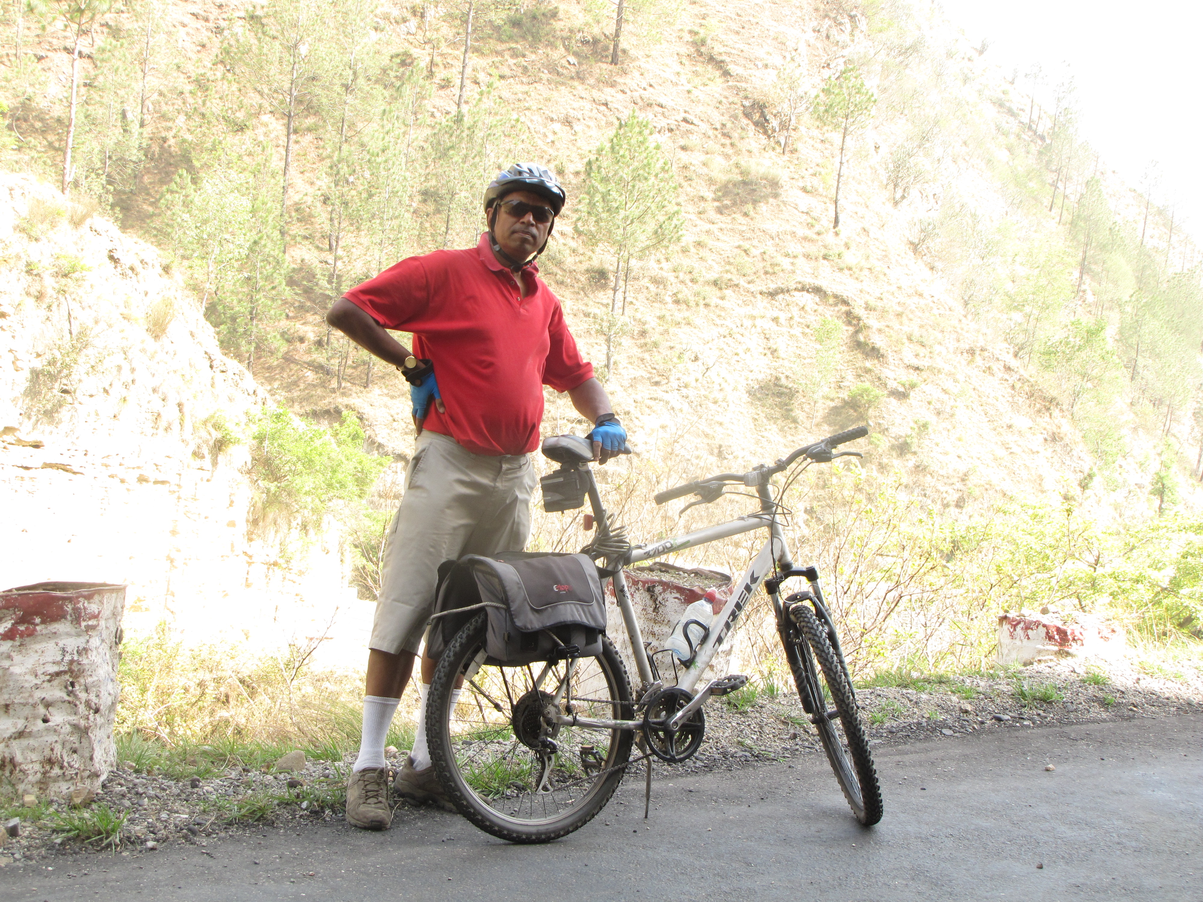
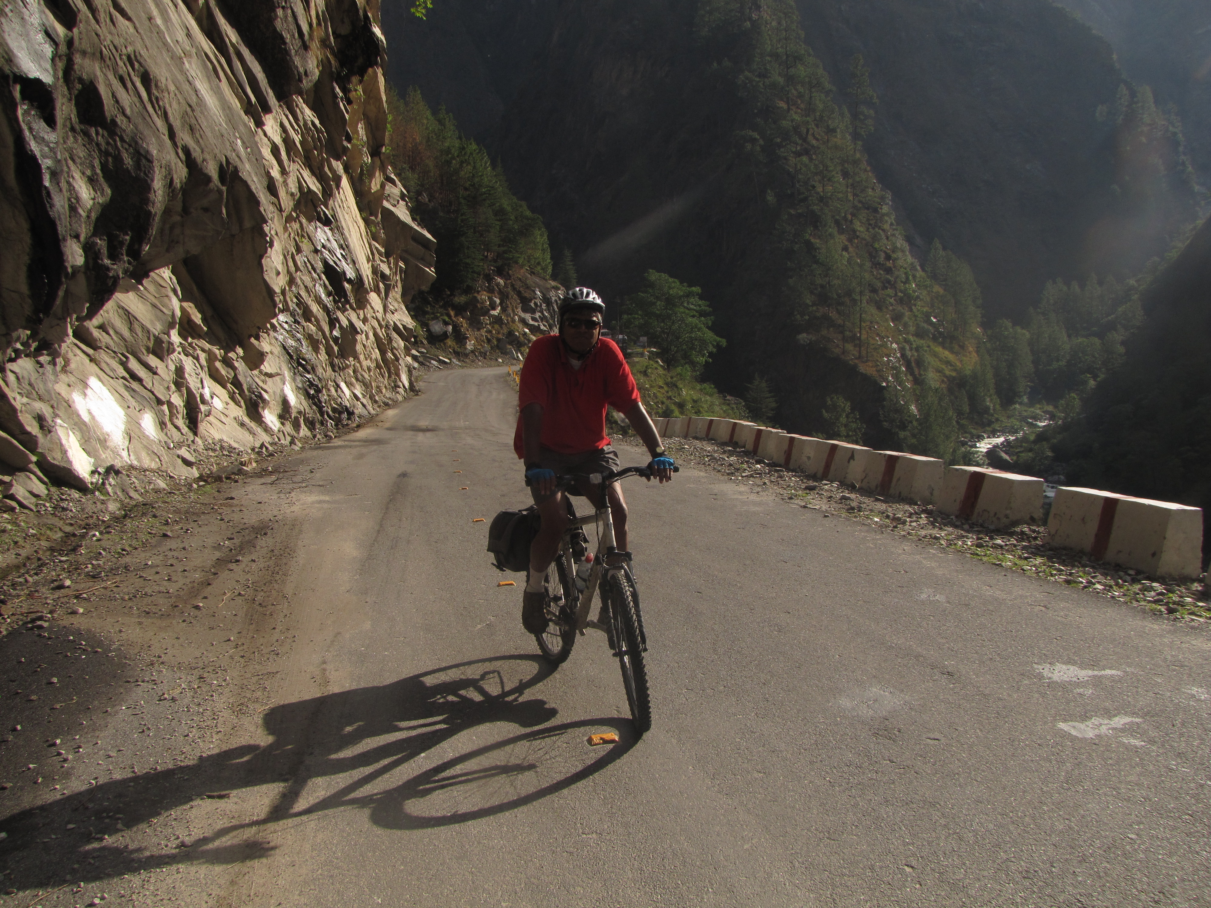
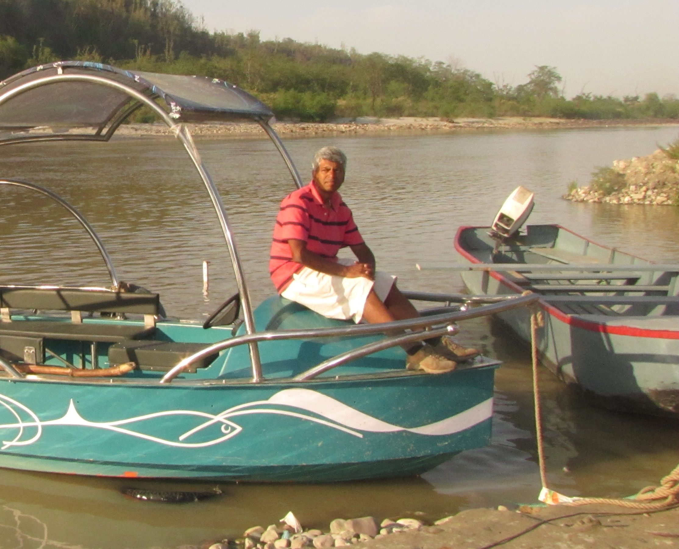
jhuntumama on his rockrider 5.1, me on the trek 3700.
day 1 to day 3: munsiyari
the very morning after reaching dawarghatti we set off for the first leg of the trip - munsiyari. the plan was to try to reach almora on day 1, berinag on day 2, and drive up close to munsiyari or thereabouts around day 3.may 24: dawarghatti to ranikhet to kosi to almora 60km
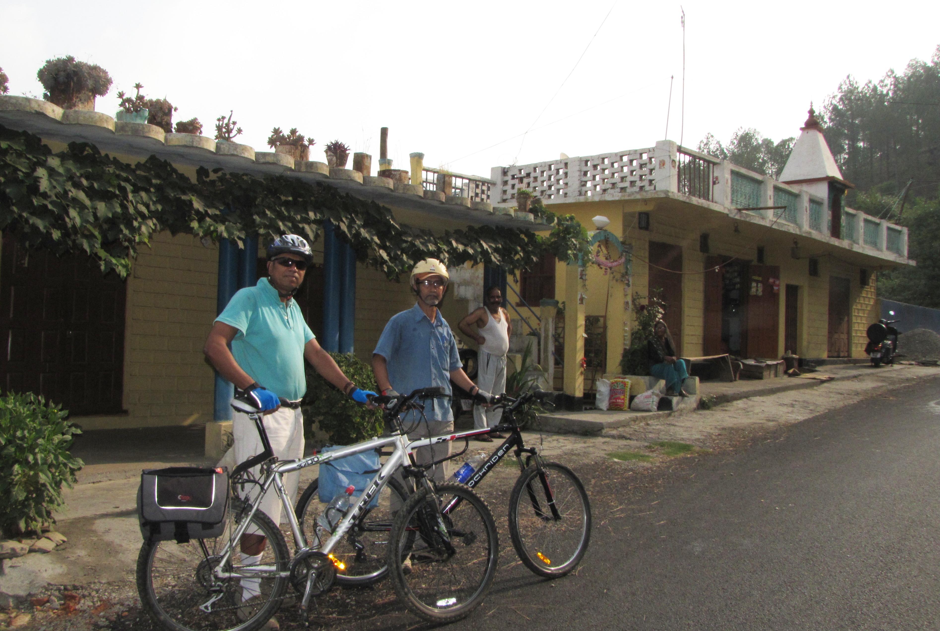
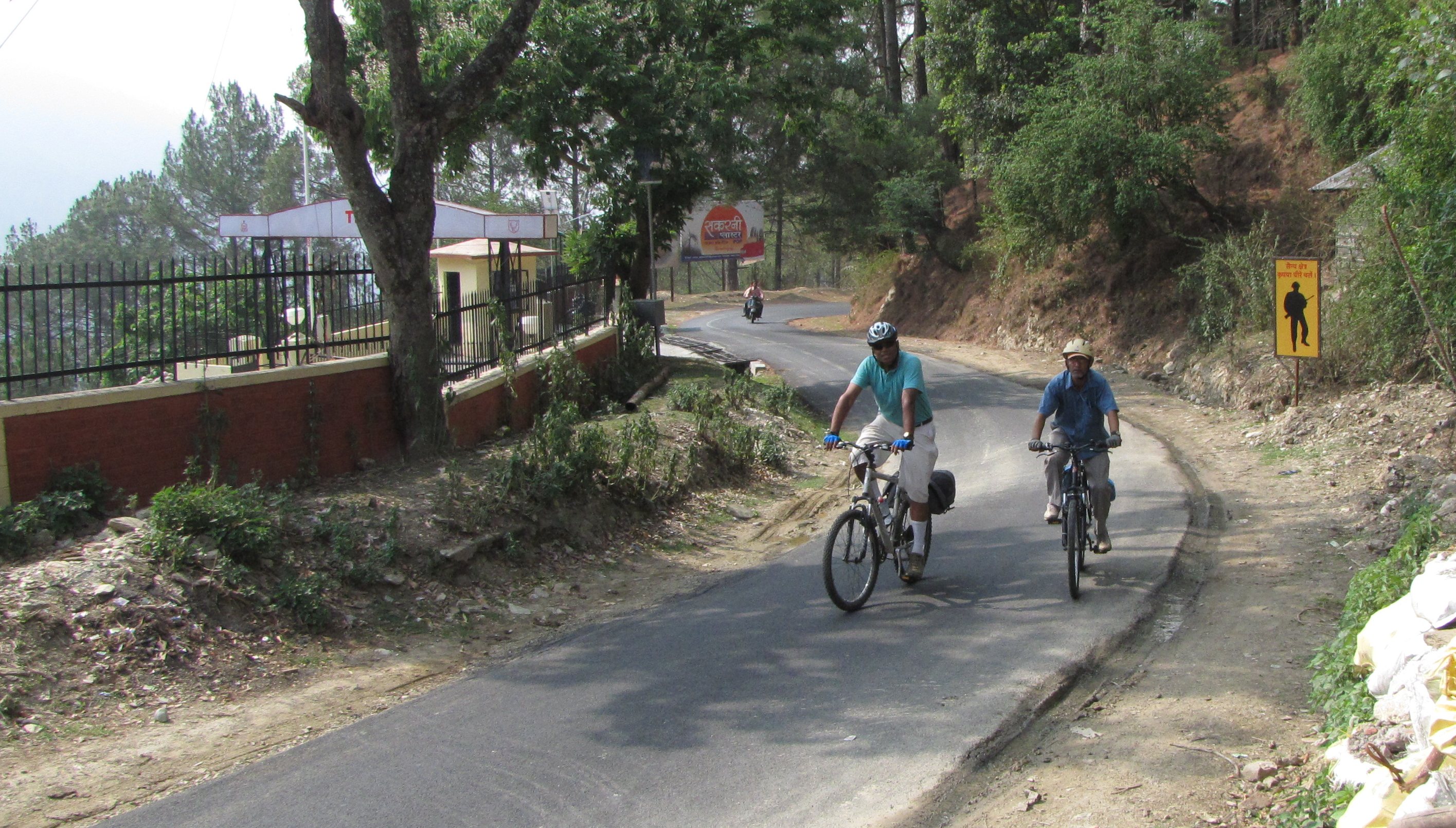
24th morning: we are starting for almora. devi ram seeing us off, from outside his creeper-covered house. (photo by bhuvan)
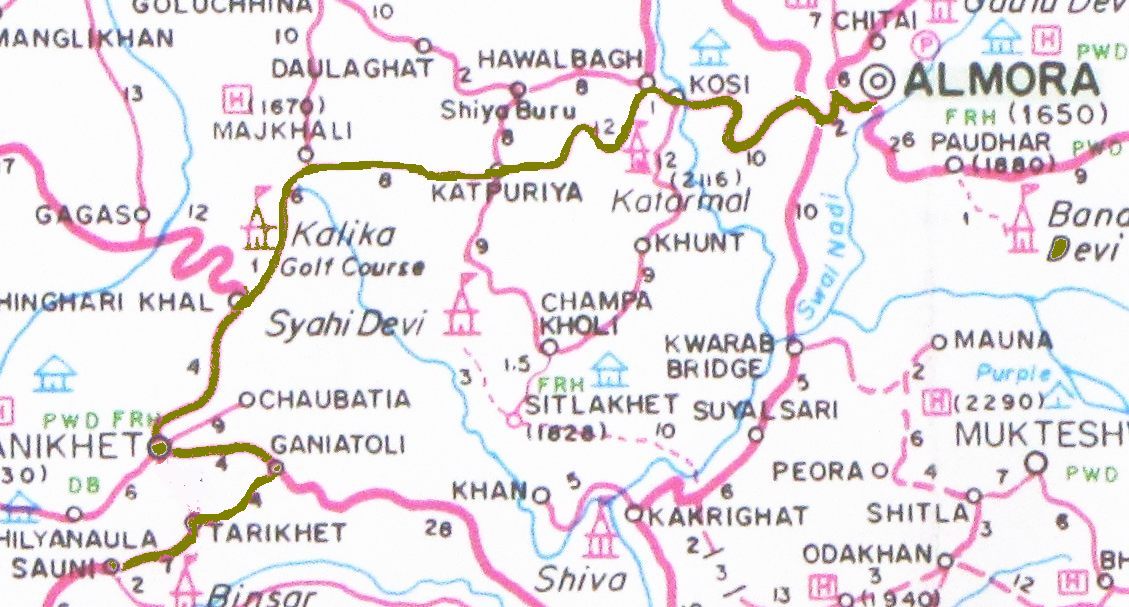
day 1 bicycling route map: sauni - ranikhet - katpuriya - kosi - almora (may 24)
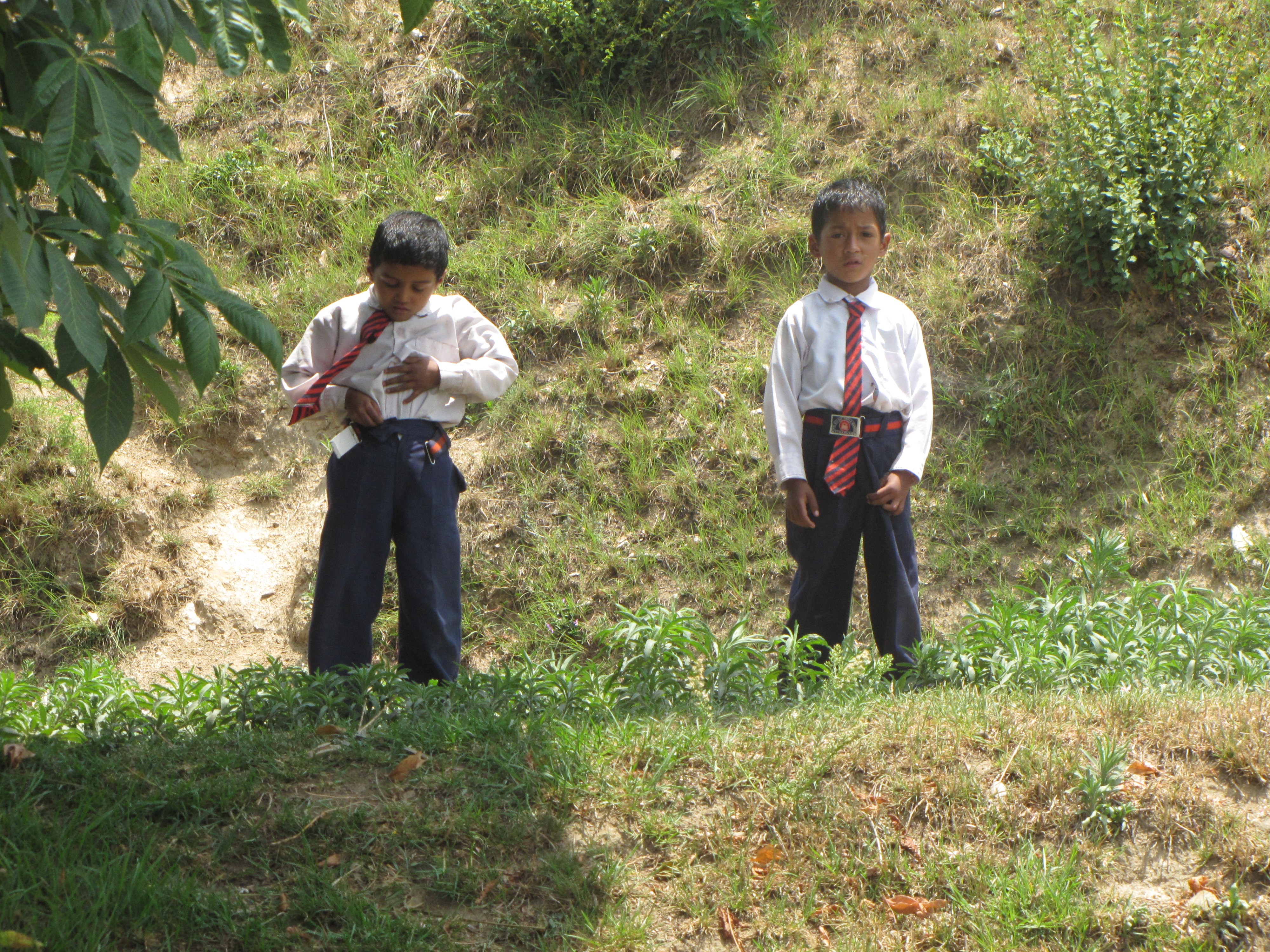
riding into ranikhet. two schoolboys near gingari khal, with their ties tucked into their belt.
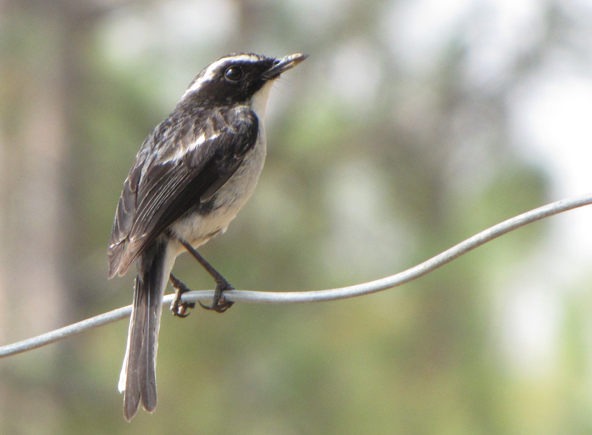
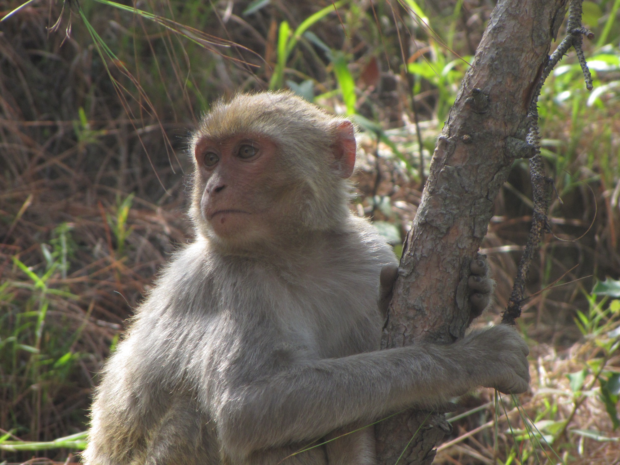
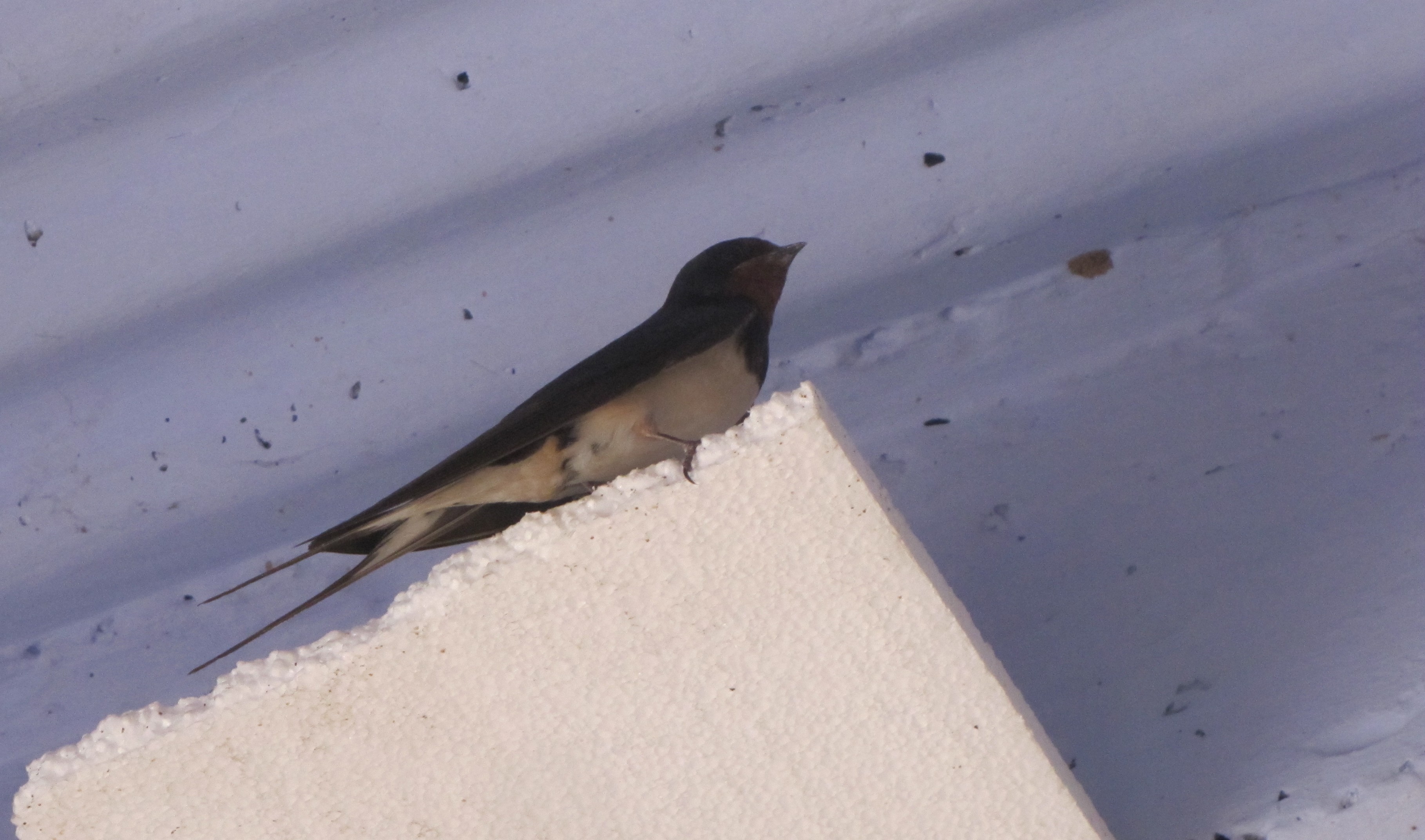
fauna: black head white supercilium wagtail-like; himalayan bulbul ; monkey at ranikhet ; house swallow at kosi
flora: blossoms on fruit tree; perhaps peach. apricots in season.
almora-sheraghaT 60km + guptari-berinag 15km
panorama from the roof of ranjana hotel, almora
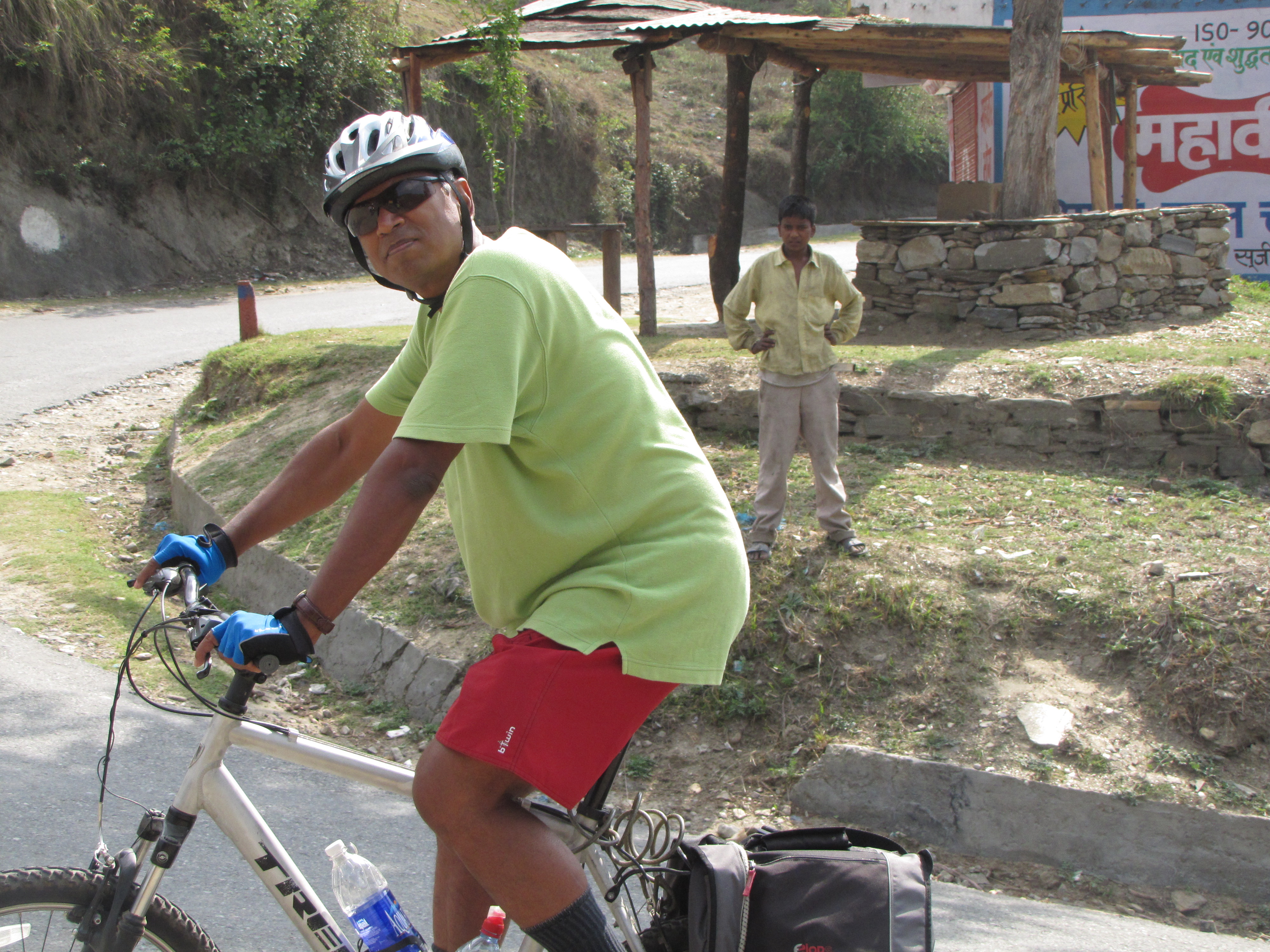
jm and i in almora. i set off alone for the first part of the ride.
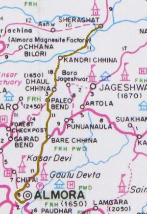
day 2 map: almora - bara chhina - dhaul chhina - sheraghat (may 25)
jm joining in with his bicycle at the top of the climb at ITI Almora
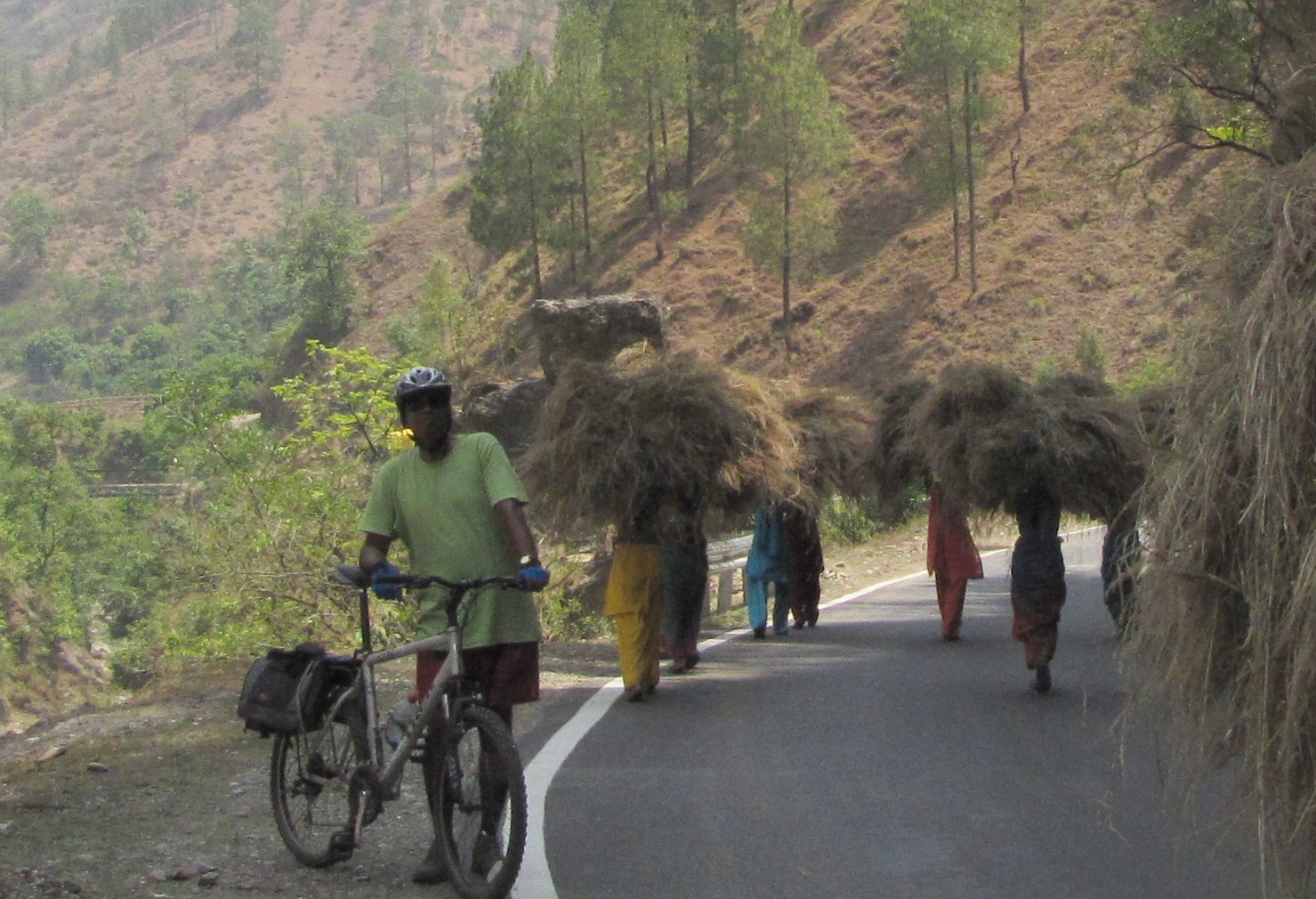
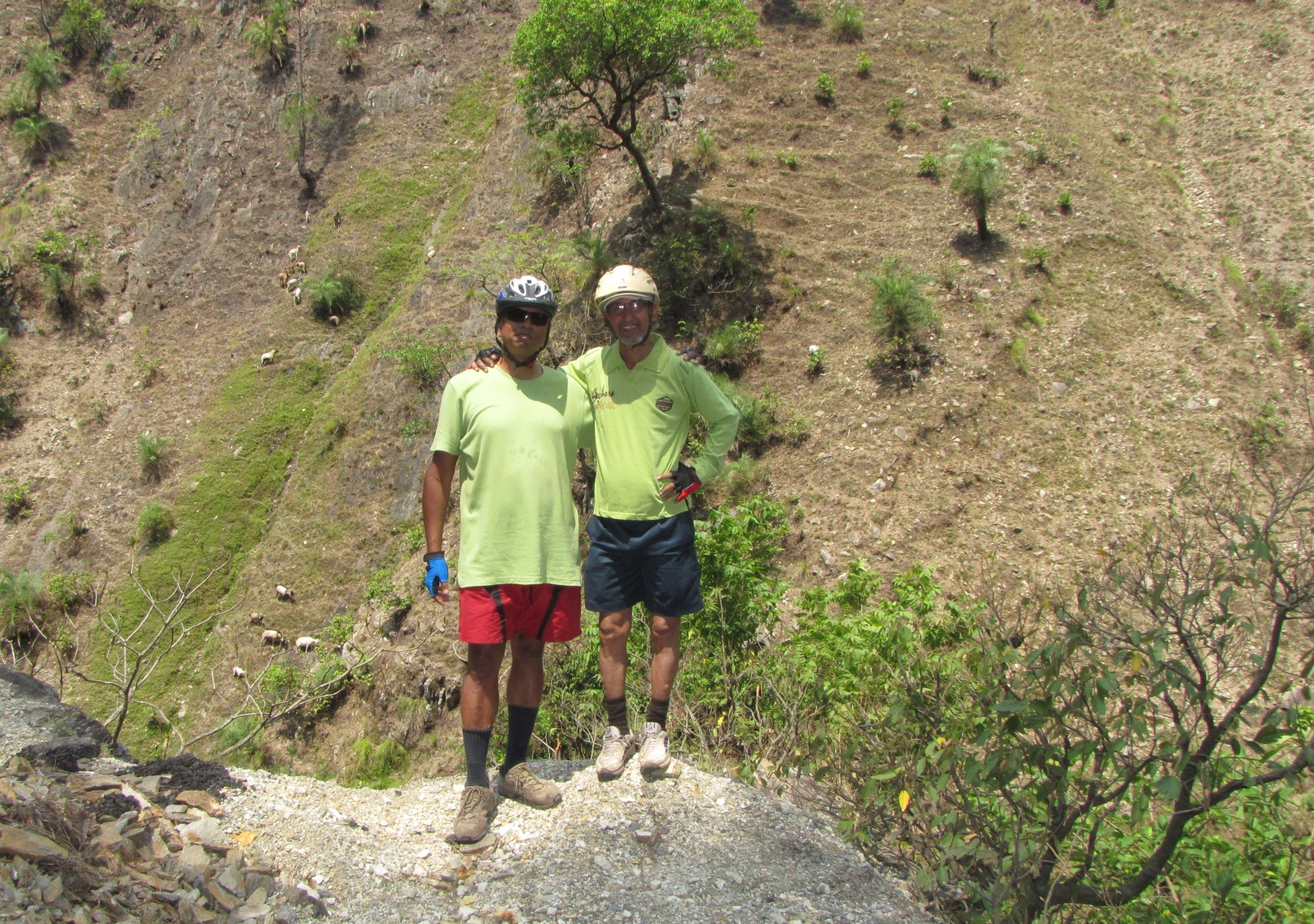
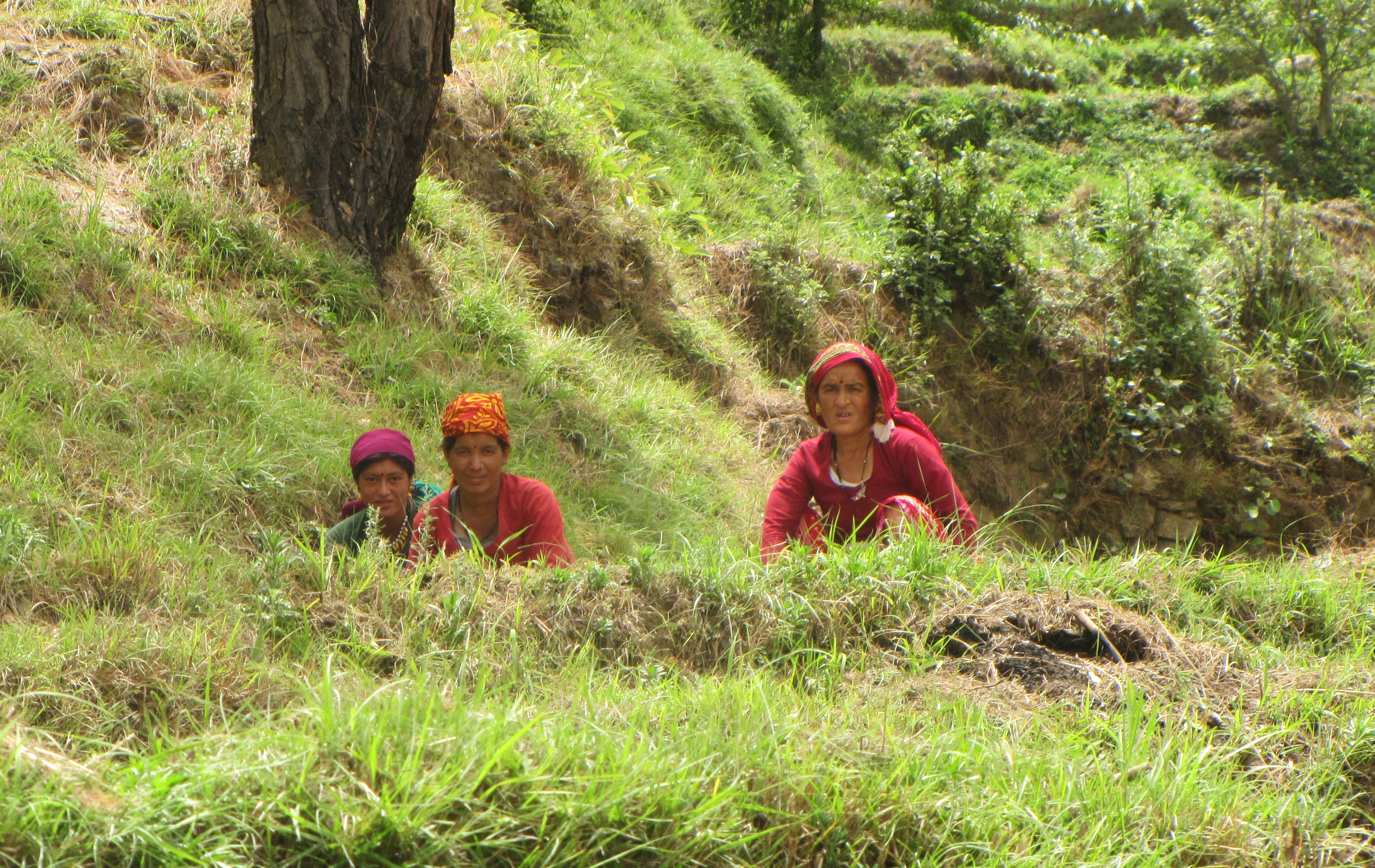
we cross a group of women carrying enormpous piles of fodder for their animals' winter fodder. jm and i pose on a ridge overlooking the sarayu.
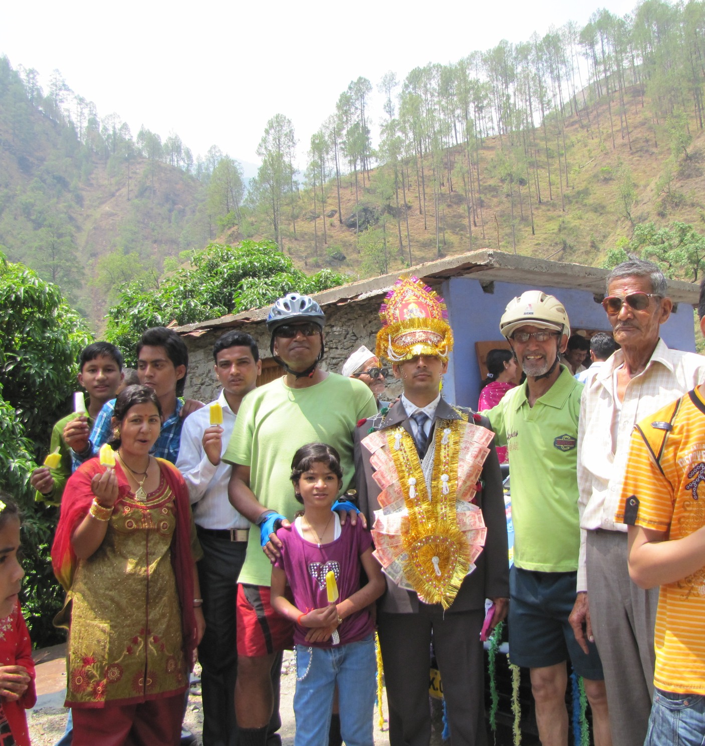
posing with the groom. bagpipes on the highway.
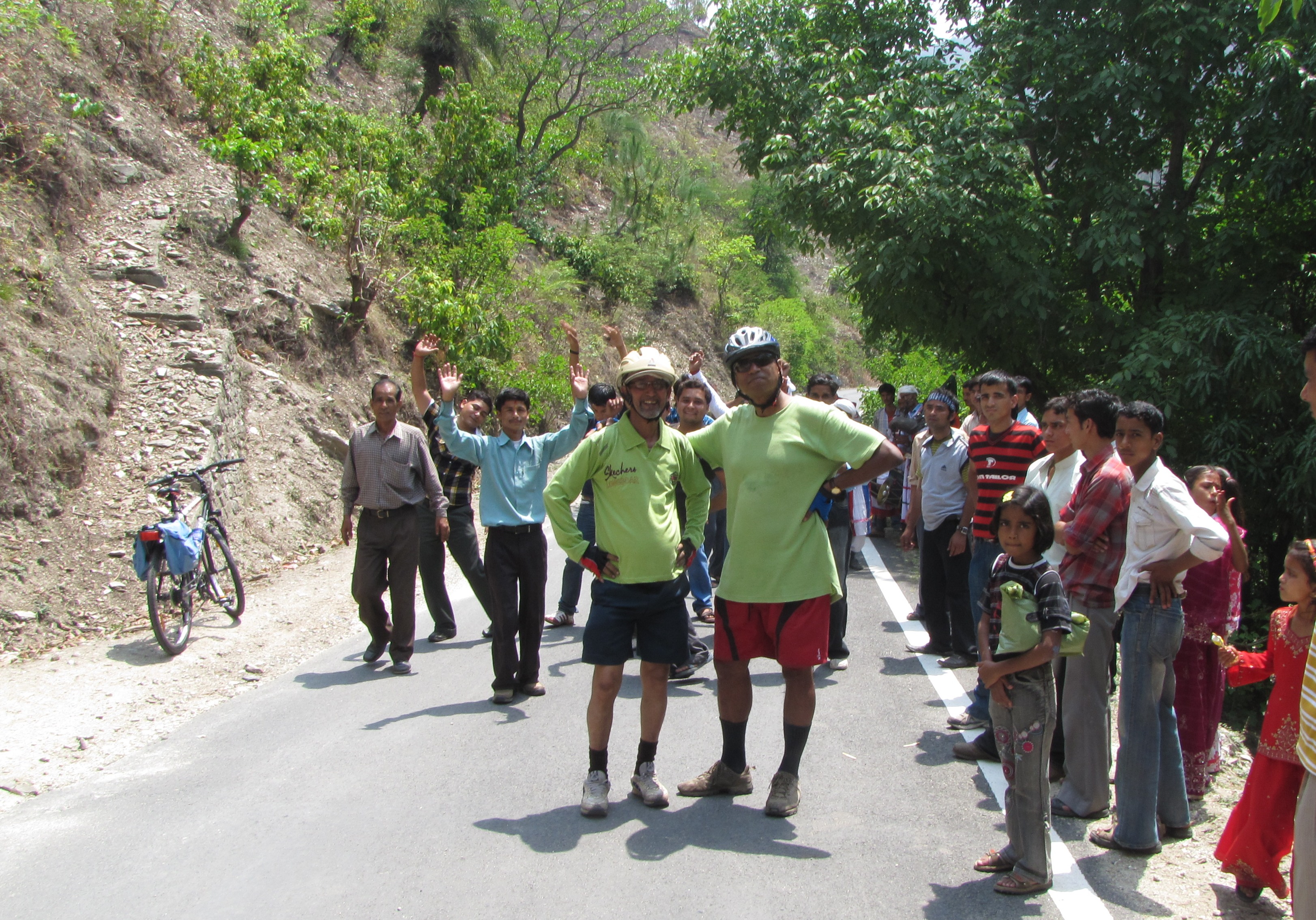
posing with the barat party...
marriage party in progress right on the almora-sheraghat highway, and we soon become part of the party!! jm dancing a waltz in bicycling regalia including helmet
the bagpipe has become a native instrument, particularly in kumaon.

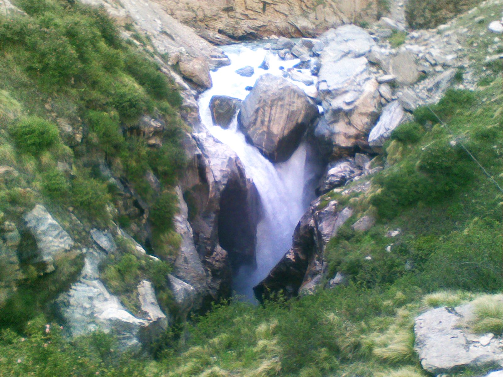
birthi falls (1800m) to kalapani (2450m) to munshiyari (2290m) : 33km
beerthi falls can be seen behind us. you can hear it from the kmvn lodge, but it becomes thunderingly powerful in late summer. right: the road climbing out of beerthi.
day 3 map: birthi-kalamuni-munsiyari (may 26)
the road to munsiyari...
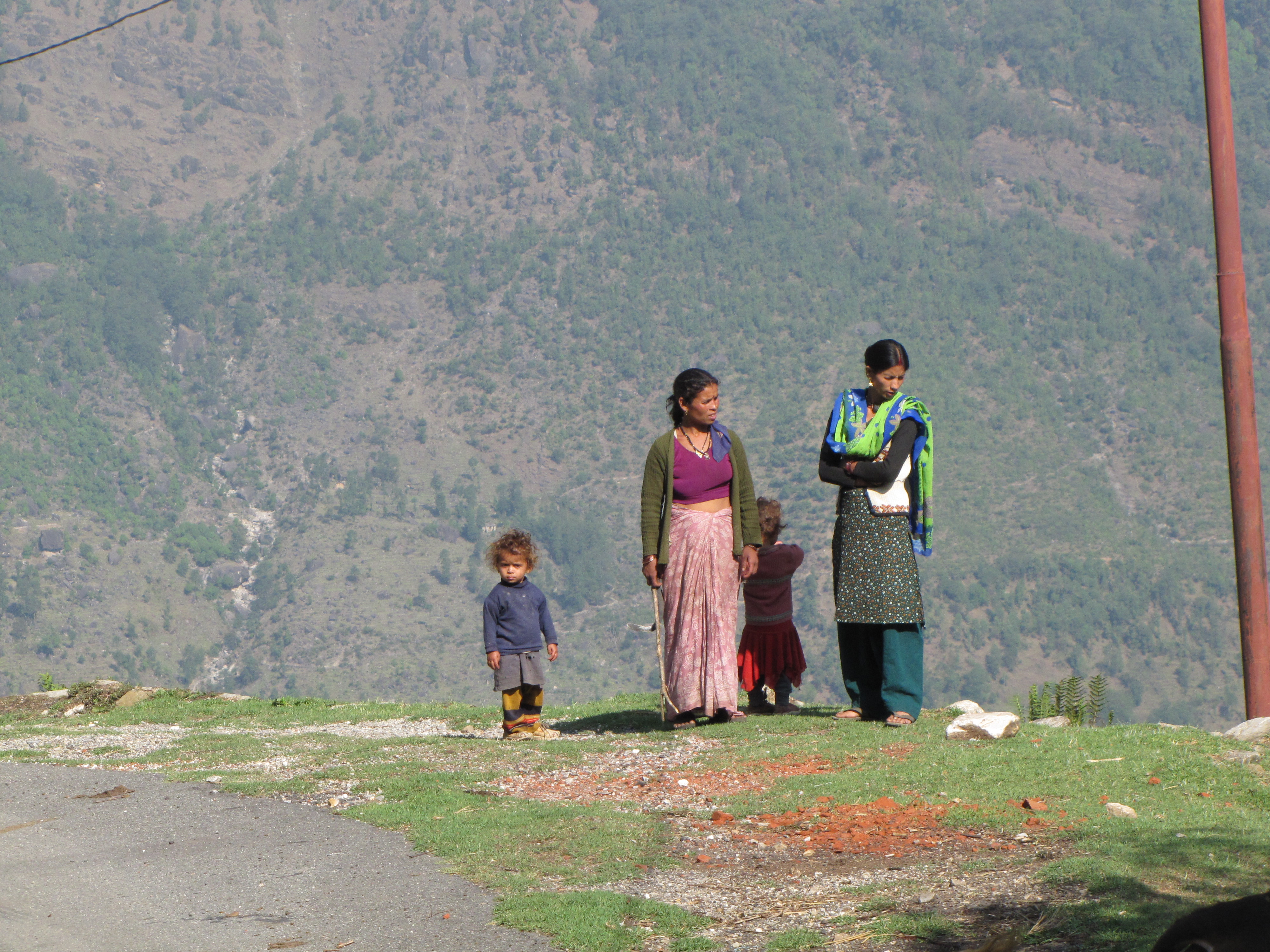
women along the edge at the hamlet of dhimibhango near gini bend.

posing under a rock.
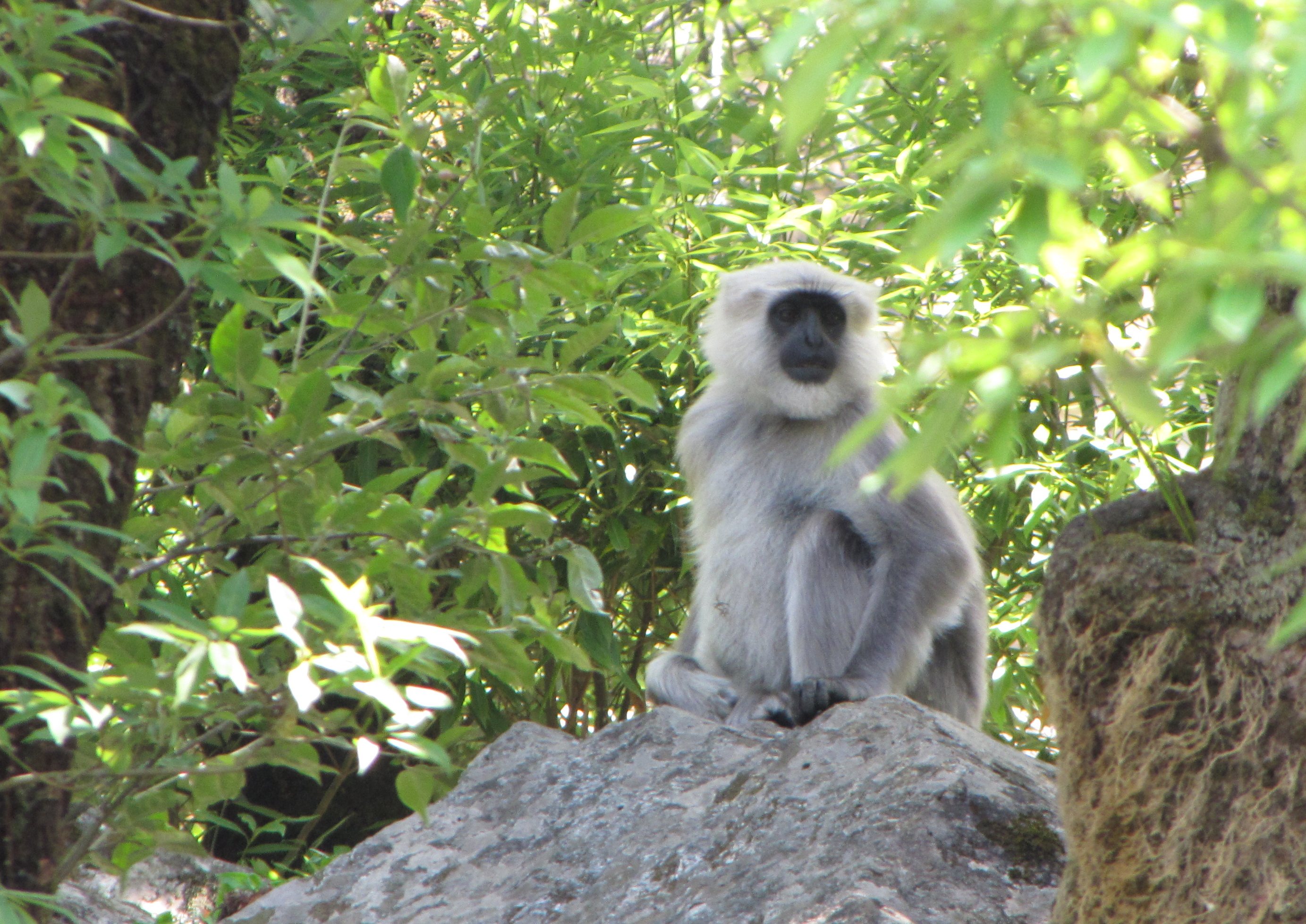
a langur in the national forest on the road through the forest.
switchbacks climbing up before kalamuni. the maps make a big houhaha about "ratapani" which is a small hamlet of a dozen houses, inhabited primarily in the summer months.
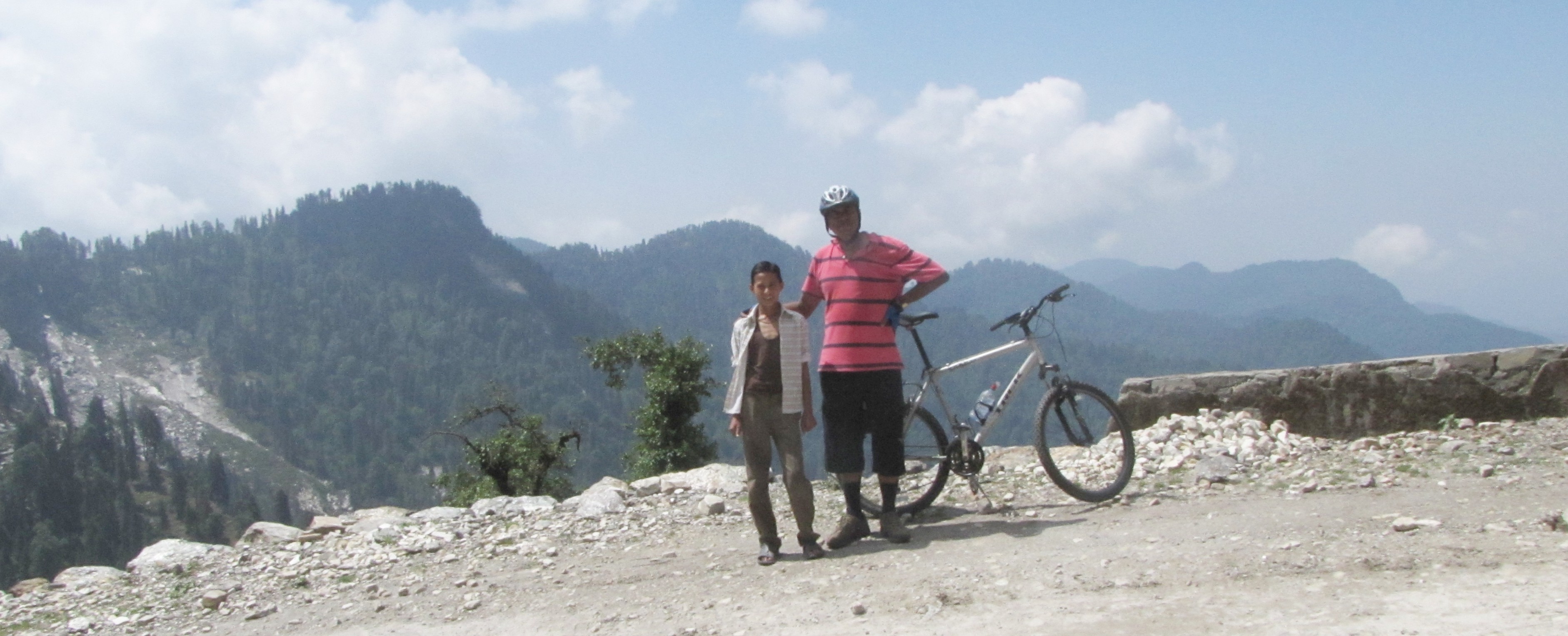
kailash and i, at kalamuni.
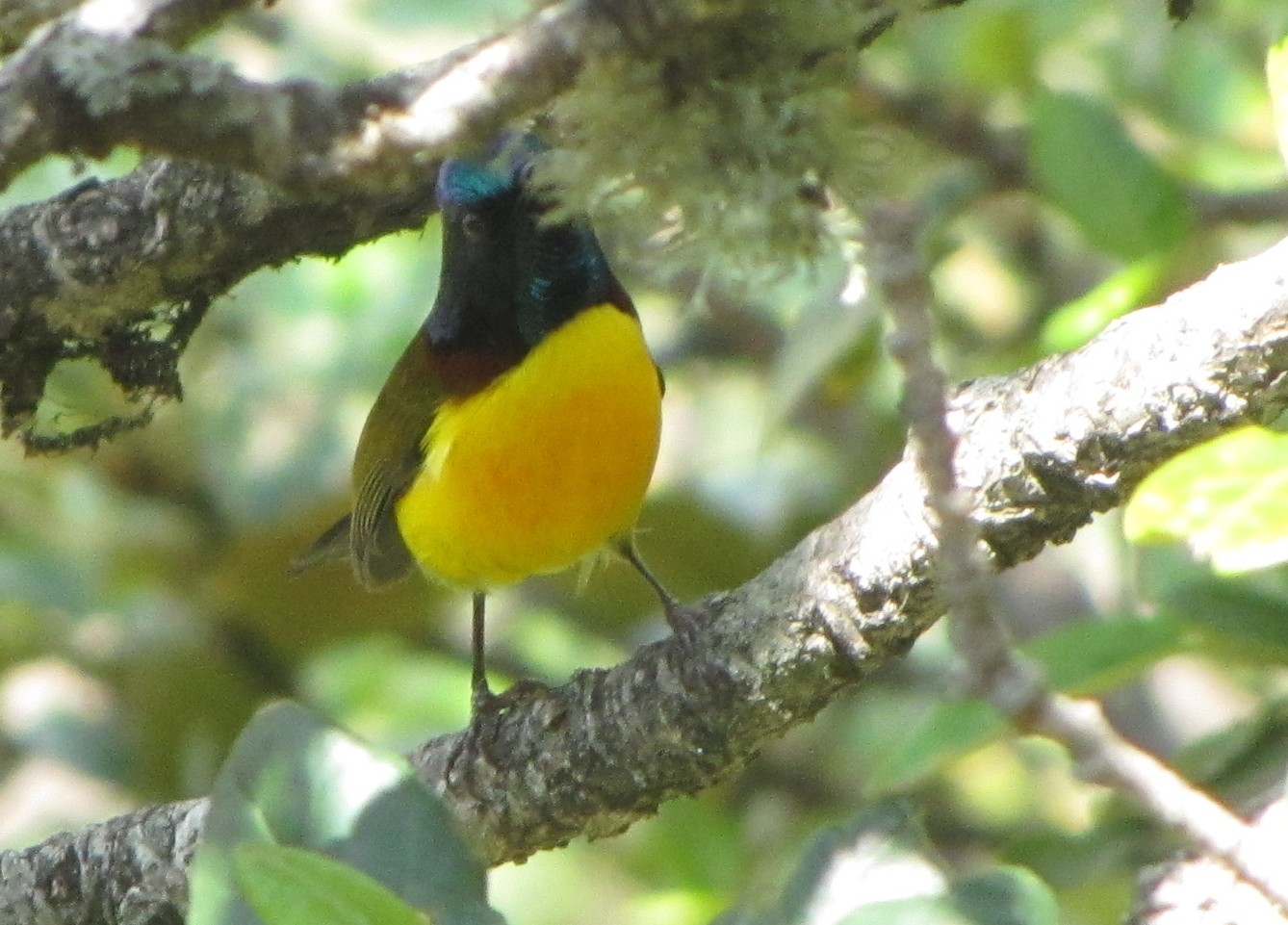
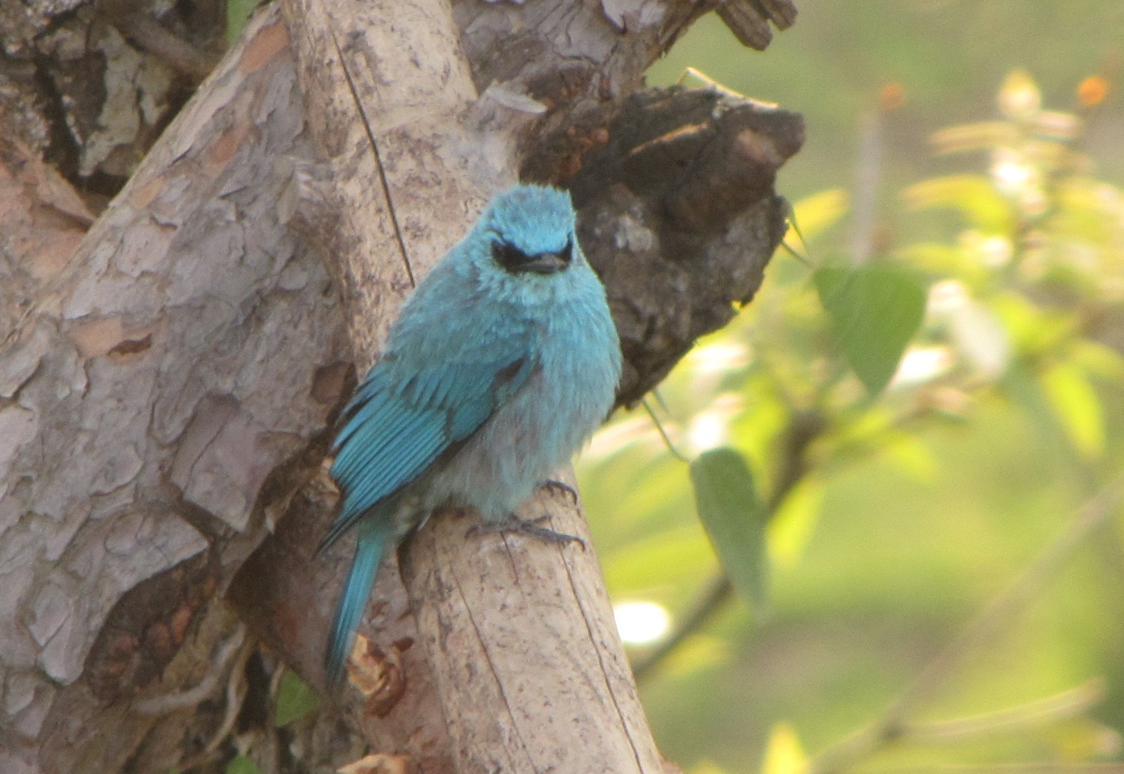
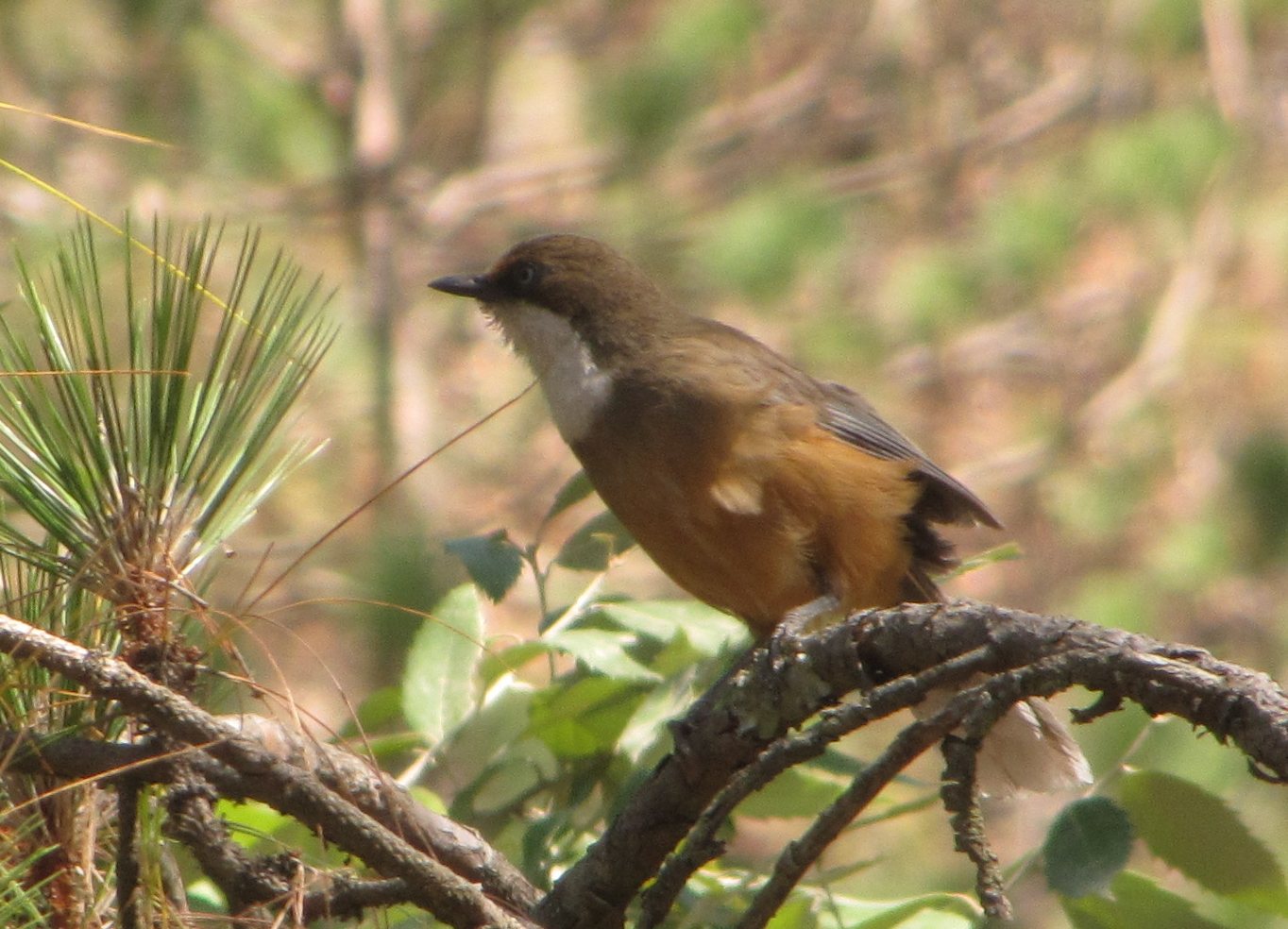
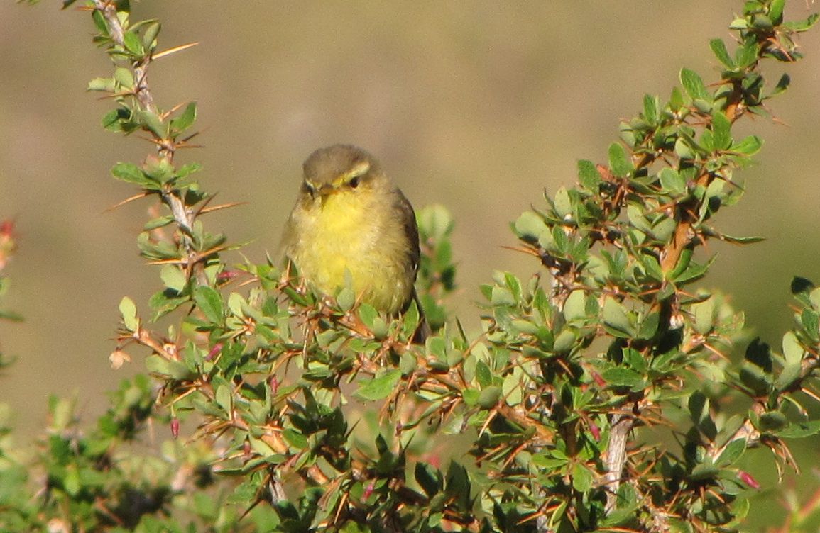
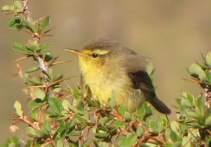
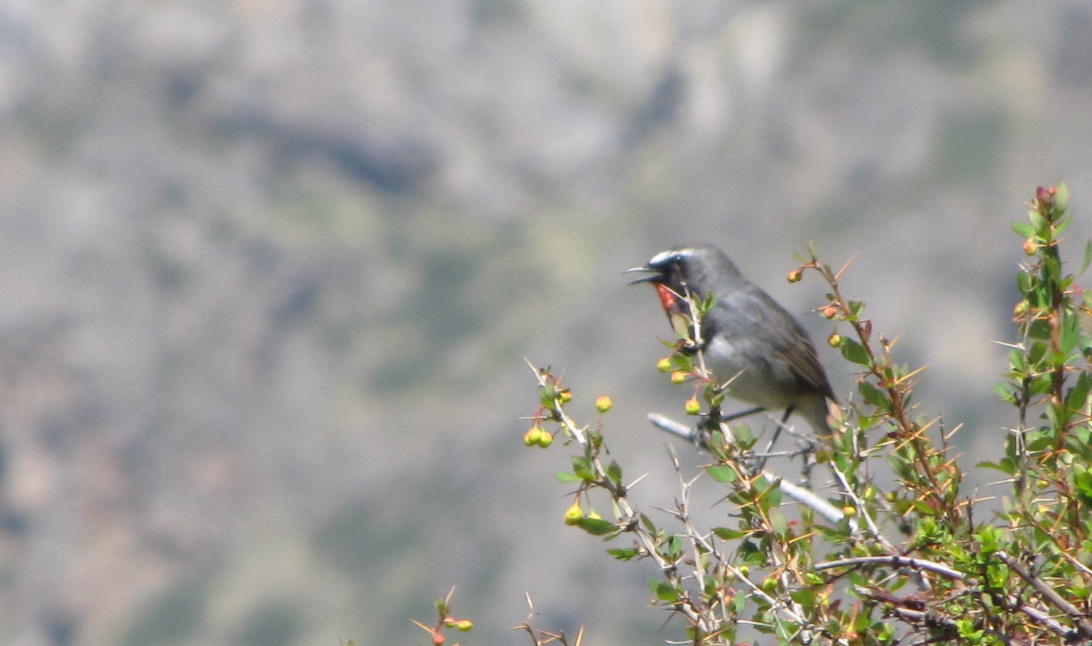
green-tailed sunbird, male. sadly, the beak is occluded in this image. the road to munsiyari climbs through beautiful dense forest, and there are quite a few interesting birds.
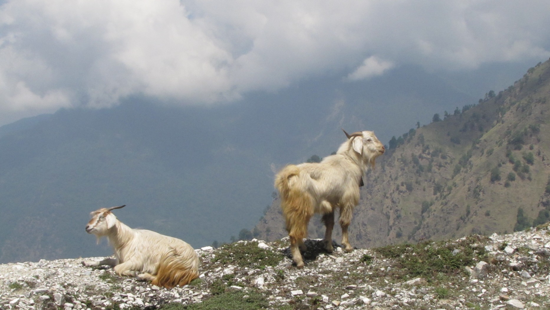
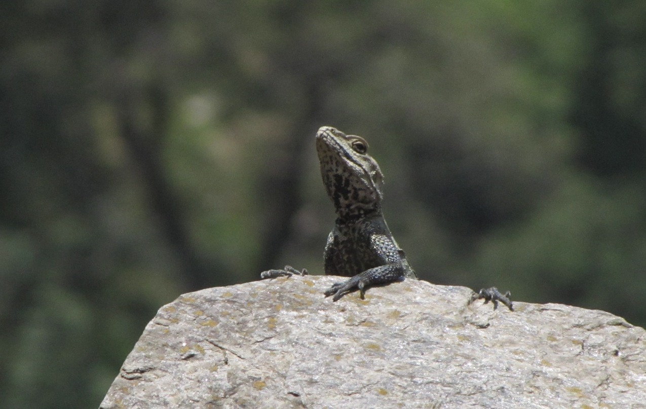
mountain goats frolic surefootedly on the slopes. this lizard peeping out while sunning.
munsiyari
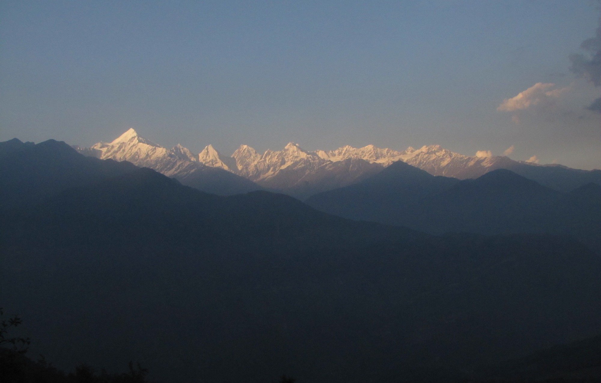
the majestic panch-chauli (five stoves) range from munsiyari.
barat dance.. approaching munsiyari, i run into this animated wedding party. this time it is mostly women - the men have gone off in the barat, and the bride will be arriving at night. they did an inpromptu dance for the camera.
bhotiya marriage dance - with a sword and shield. right on the main market road in munshiyari.
with anand and govind near the bus stand. anand is a bicyclist and loved riding my bicycle so much that he nearly disappeared!
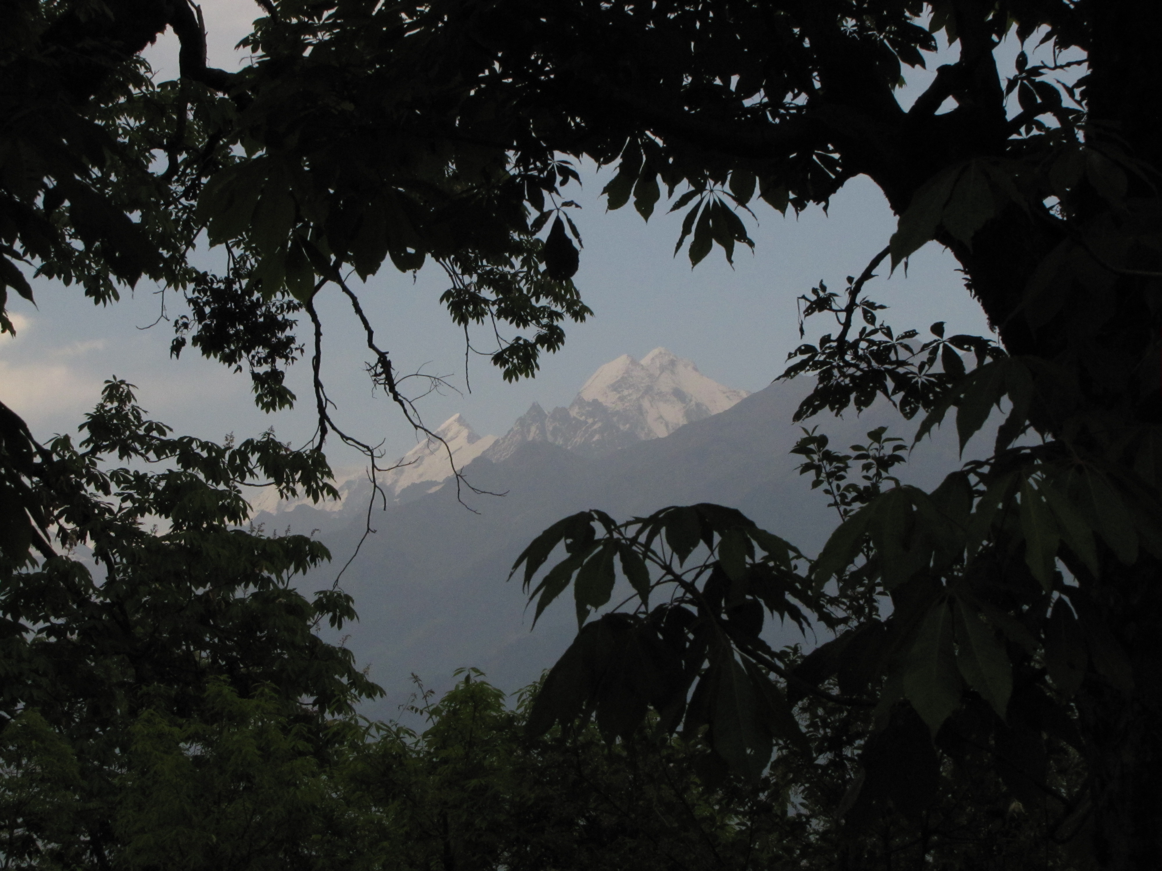
snows through the trees of messer kund.
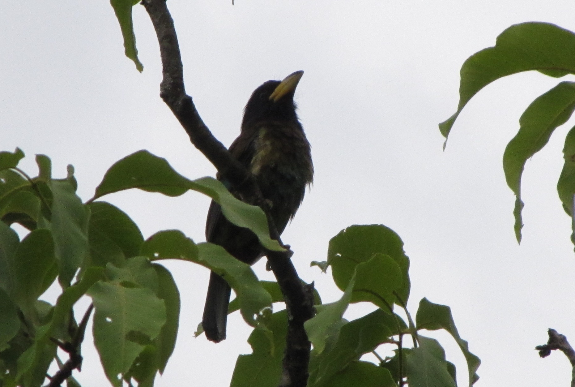
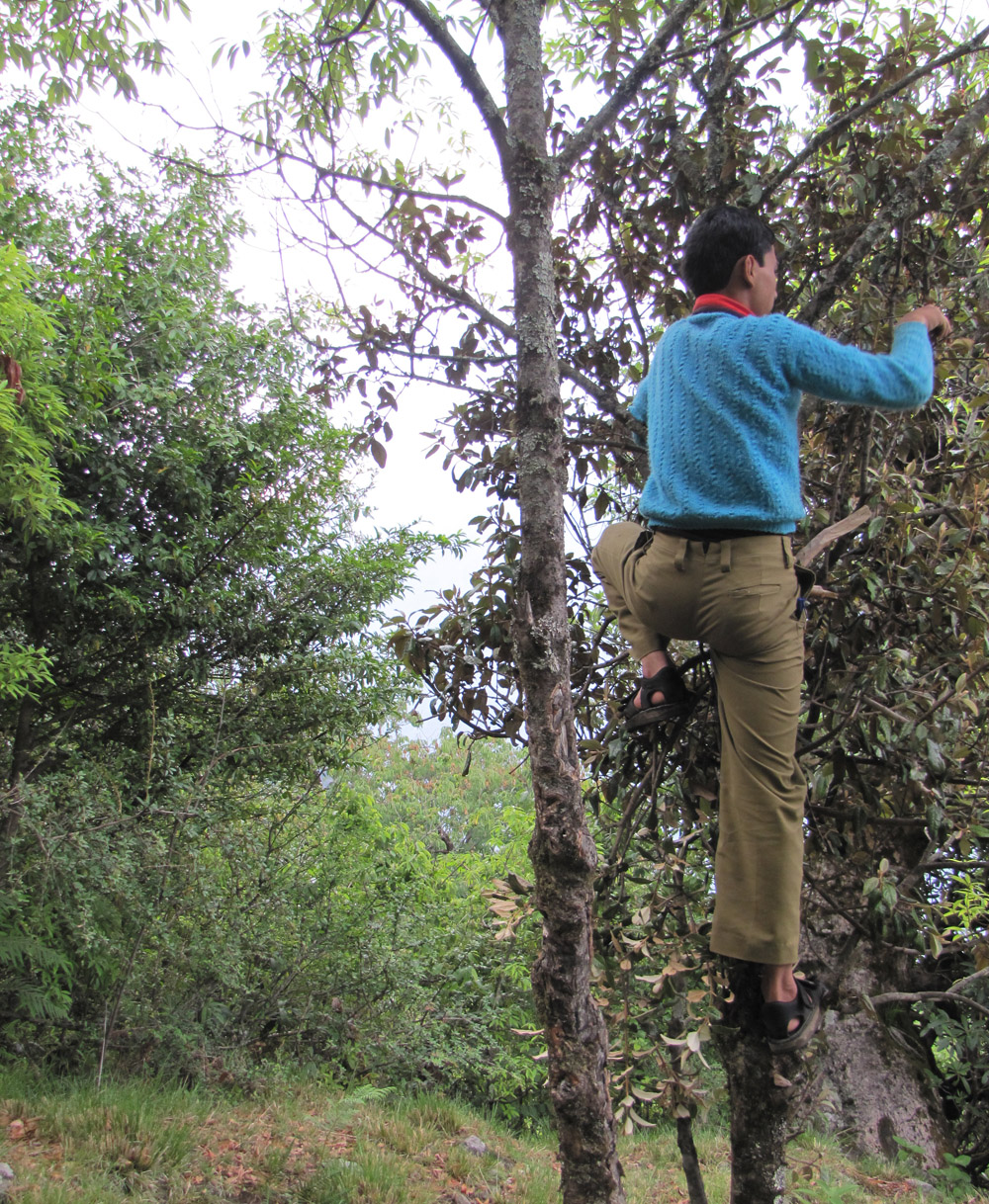
blackbird. anand climbing a tree to get us berries in masser kund.
with govind against the snows and against the growing town of munsiyari.
day 4-5: munsiyari - bageshwar - song
kalamuni - thal 54km ; Kotmanya-Bageshwar 49 km
day 4 map (morning): munshiyari-nachani-thal (may 27)
jhuntumama : intrepid adventurer portraits...
and the two of us...
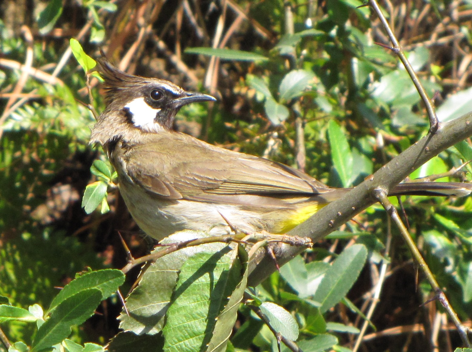
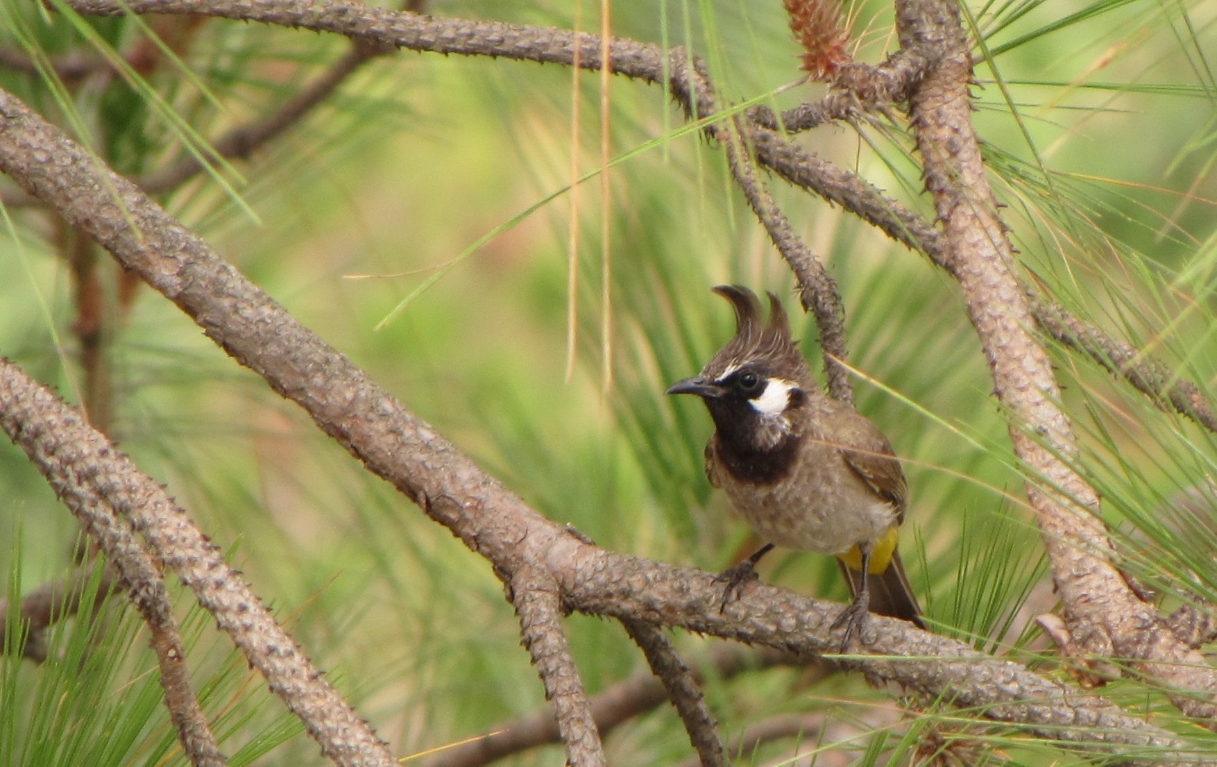
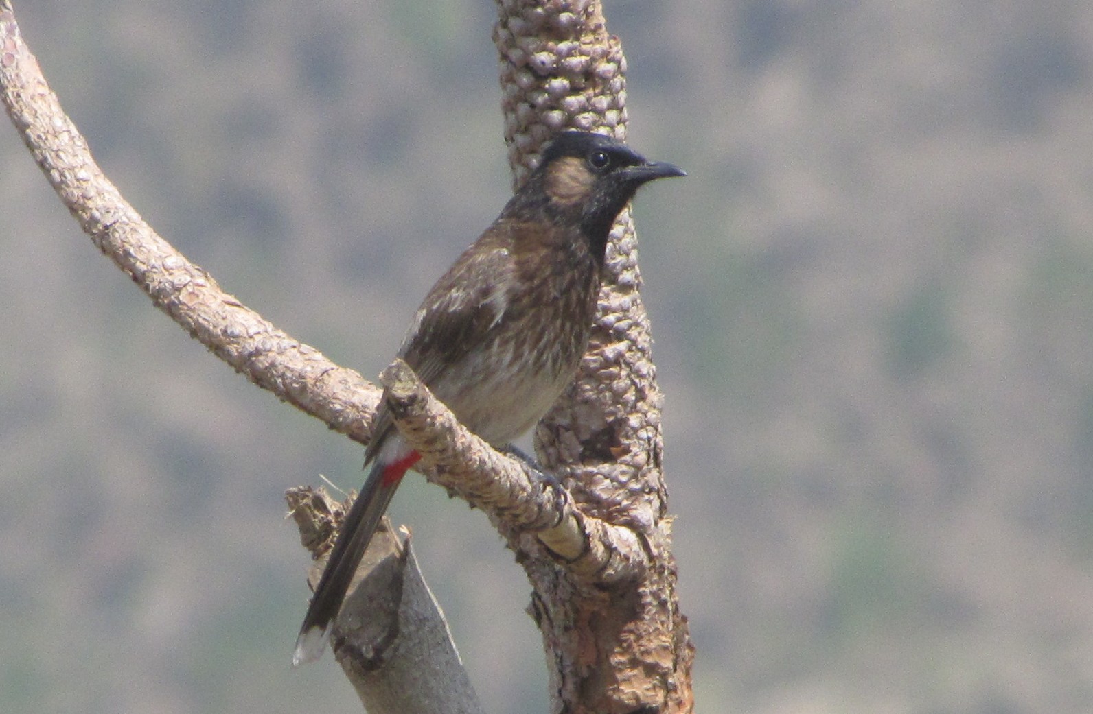
yellow-vented himalayan bulbul
jm and i at the bridge at fulia
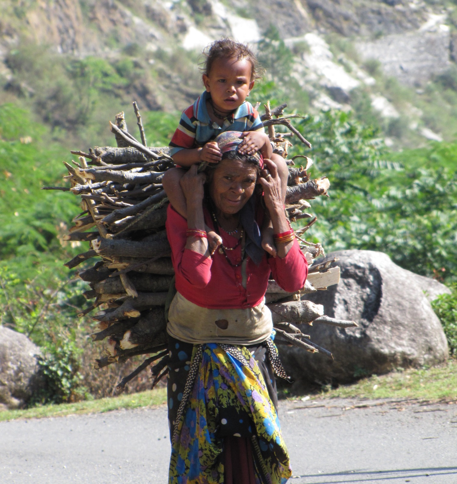
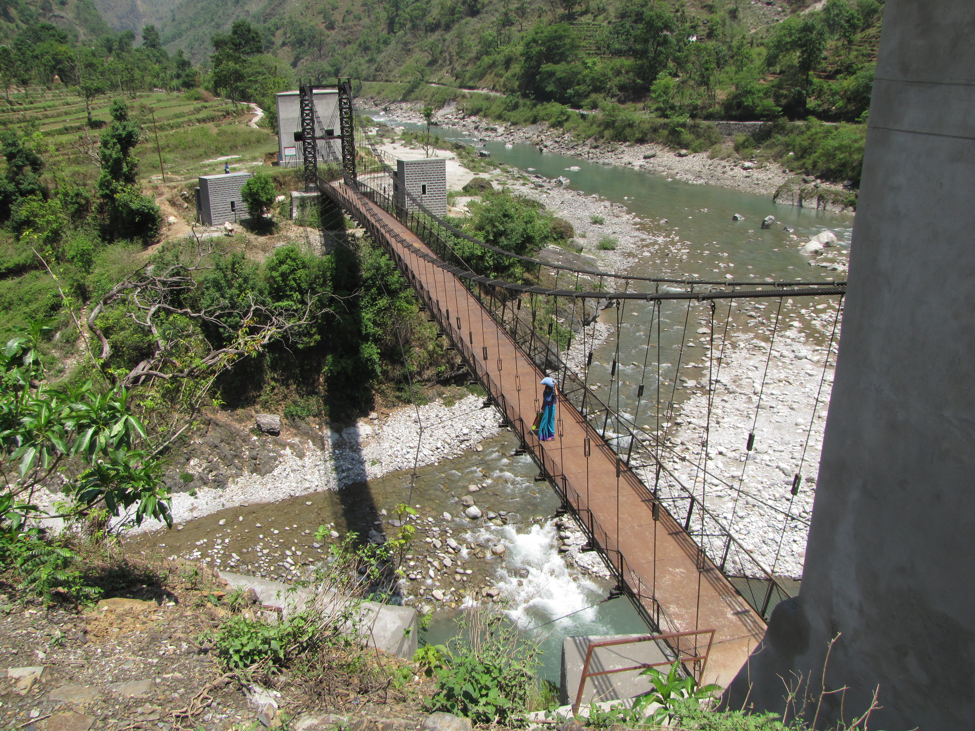
woman with child, fetching firewood. the foot-bridge near thal. the lady in blue who can be seen crossing the bridge invited us to her home for chai, but we had "promises to keep"...
1430 PM: Kotmanya-Bageshwar 49 km
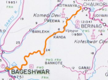
day 4 map (afternoon): kotmanya-bageshwar (may 27)
temple by the road approaching bageshwar
bageshwar to song 42km
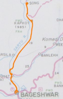
day 5 map: bageshwar-song (may 28)
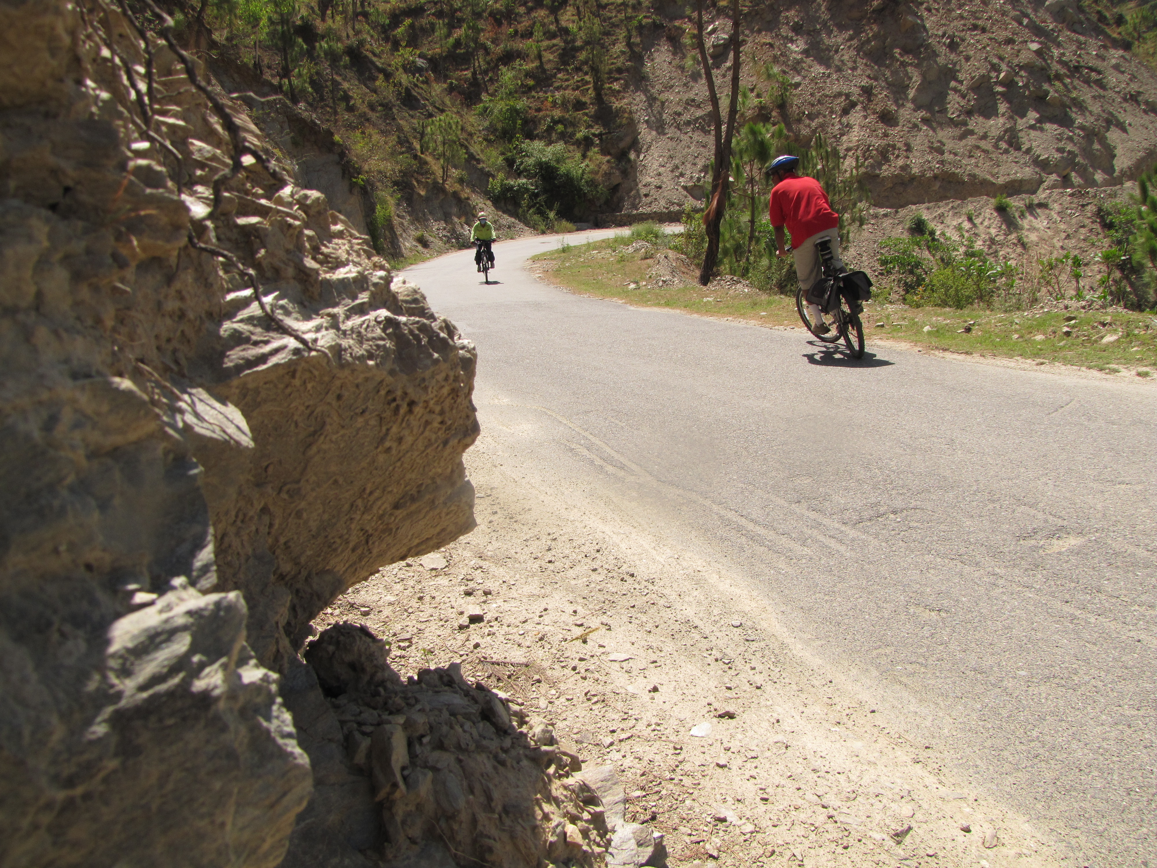
this was by far the worst road of this week. and that after jhuntumama says is a considerable improvement in the road, which he has been on several times en route to pindari and other treks. just a few years ago, it was much narrower, and often filled with landslide rubble. there was a problem with the brakes of the car, due to which we started only at 10am. the road follows the sarayu river, and starts climbing immediately. the road follows the river till Song, after which there is a kaccha road to loharkhet which i avoided. though the climbs are not as precipitous as those on the munsiyari road, the road makes for difficult climbing. just before entering song, a concrete road goes off to the left for loharkhet. it is apparently concretzed for 2 or 3km, the rest is a very rough and very steep climb. after a tea break at song, i put the cycle in the car and in the setting sun, we drive all the way to gwaldam in the lap of trishul.

this boy was stunt riding off the seat and pedals - it was good to see another bicycle, though!
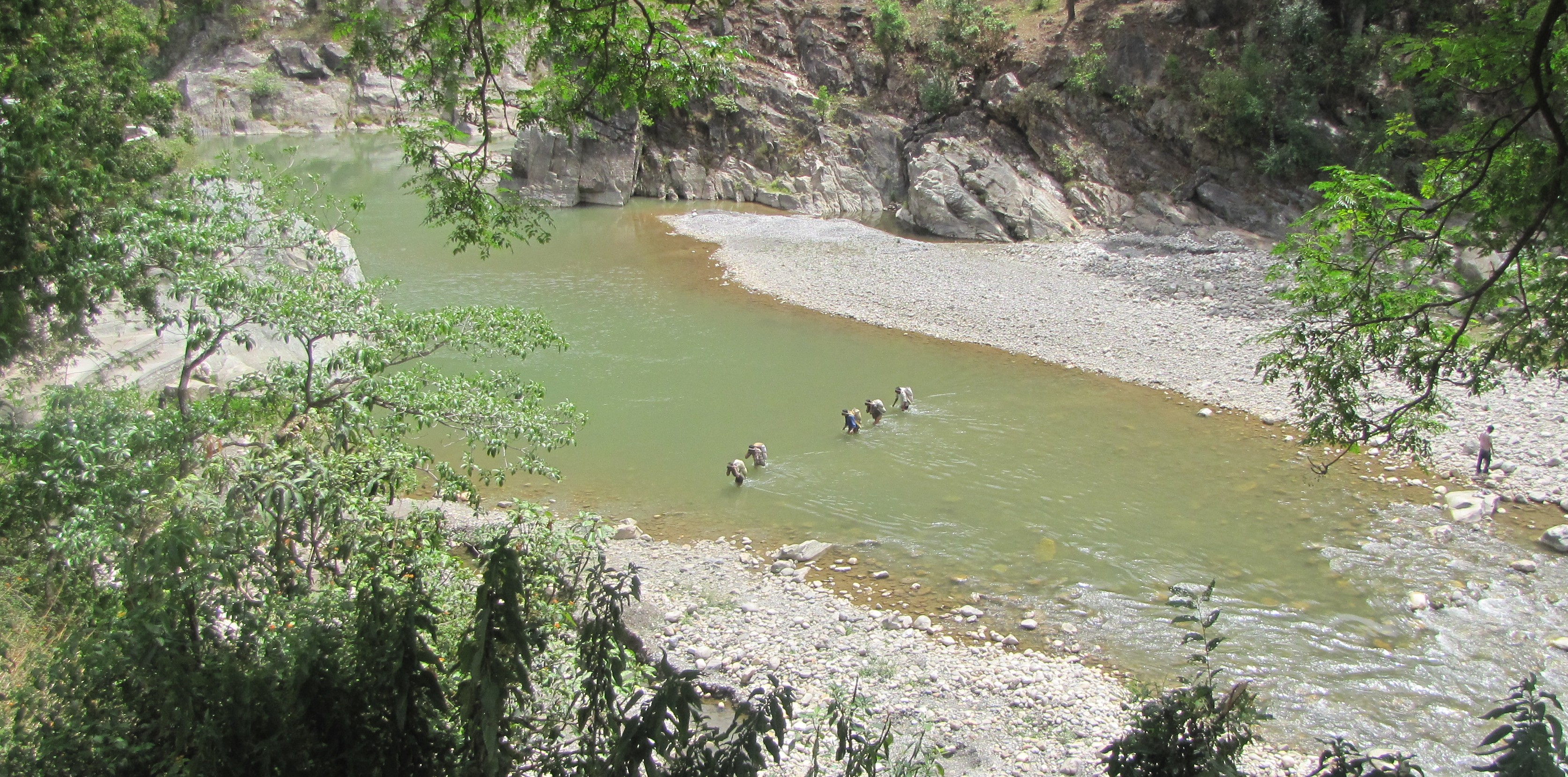
porterage across the sarayu - enroute to song
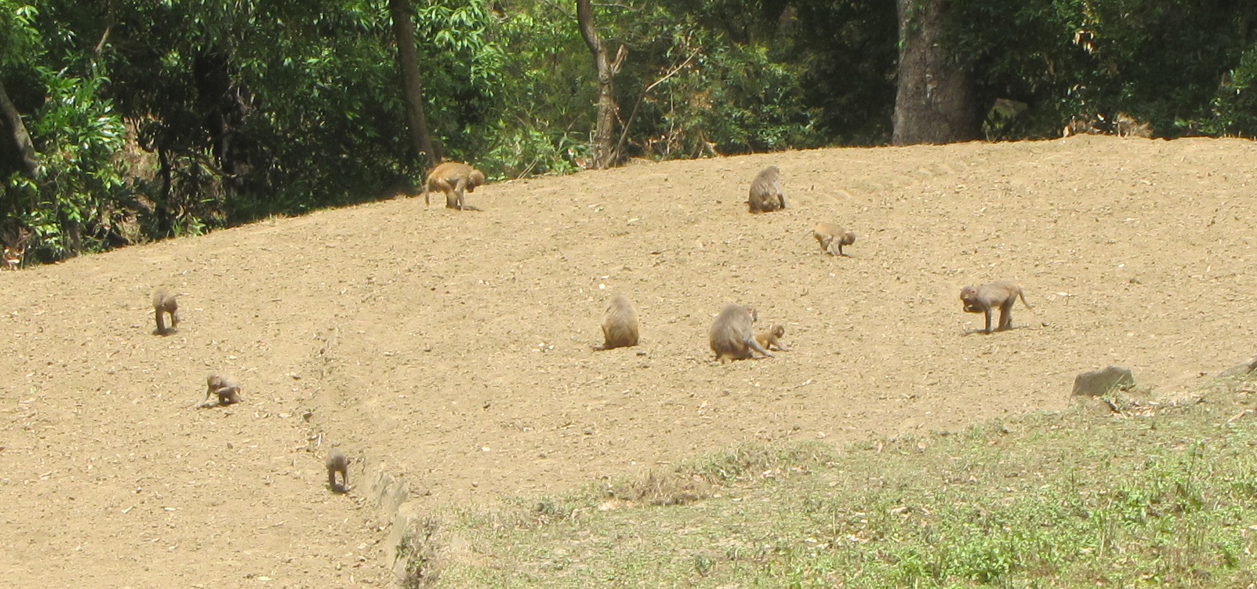
monkeys rooting around (for insects?) in a harvested field. jhuntumama in pain 15km into the ride
these kids were going rafting on the turbulent sarayu, would we join them?
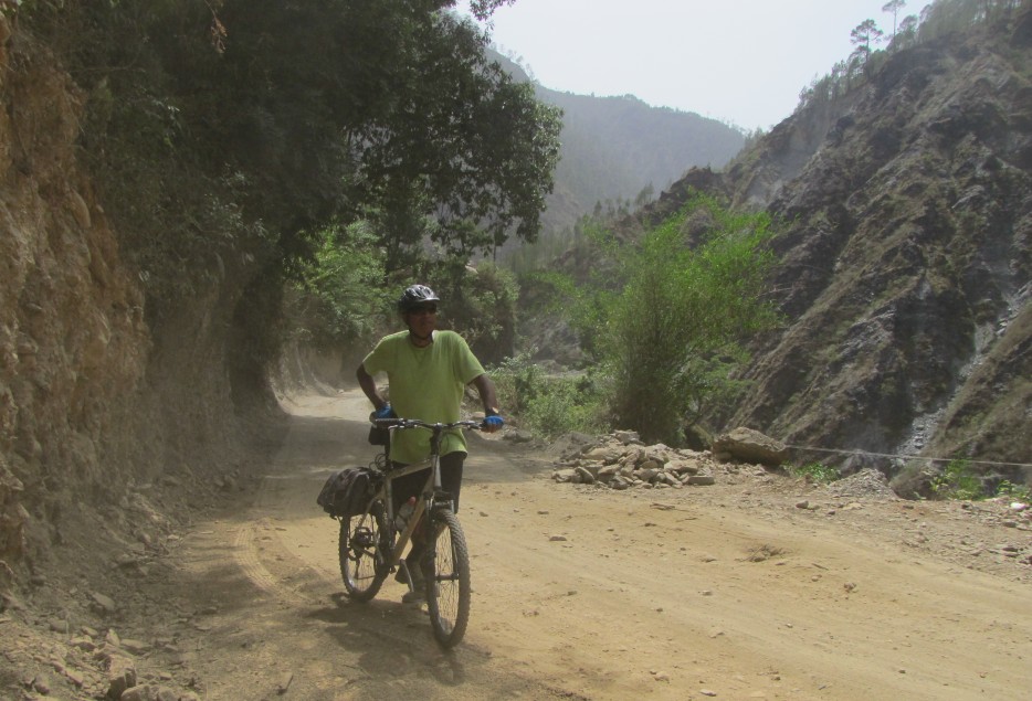
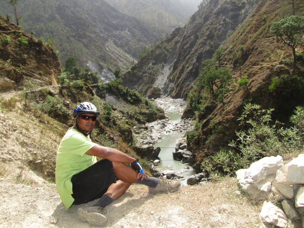
views from the road to song
these kids were splashing away and having a whale of a time on a thin ribbon of water
villagers and their village - dulam
at the village of sungarh, several boys befriended me and we went on a walk down to the river.
in the village of sungarh
approaching song.
at song, jhuntumama with kishan, whose father is a trekking guide. he has already been on several treks to pindar. jhuntumama with a village family in song. hina and her sister, with their mom.
a bridge on the sarayu.
day 6: Gwaldam-Baijnath 24km; Kausani - Gagas 45km
29 may:gwaldam is a spectacular town, with trishul looming up right next to you. there is a serious crisis of water, and our hotel trishul (and everyone else), is paying for trucks to bring in the water from somewhere afar. we have breakfast in the nextdoor restaurant, and i start off early for baijnath, after which jm picks me up during the climb to kausani.
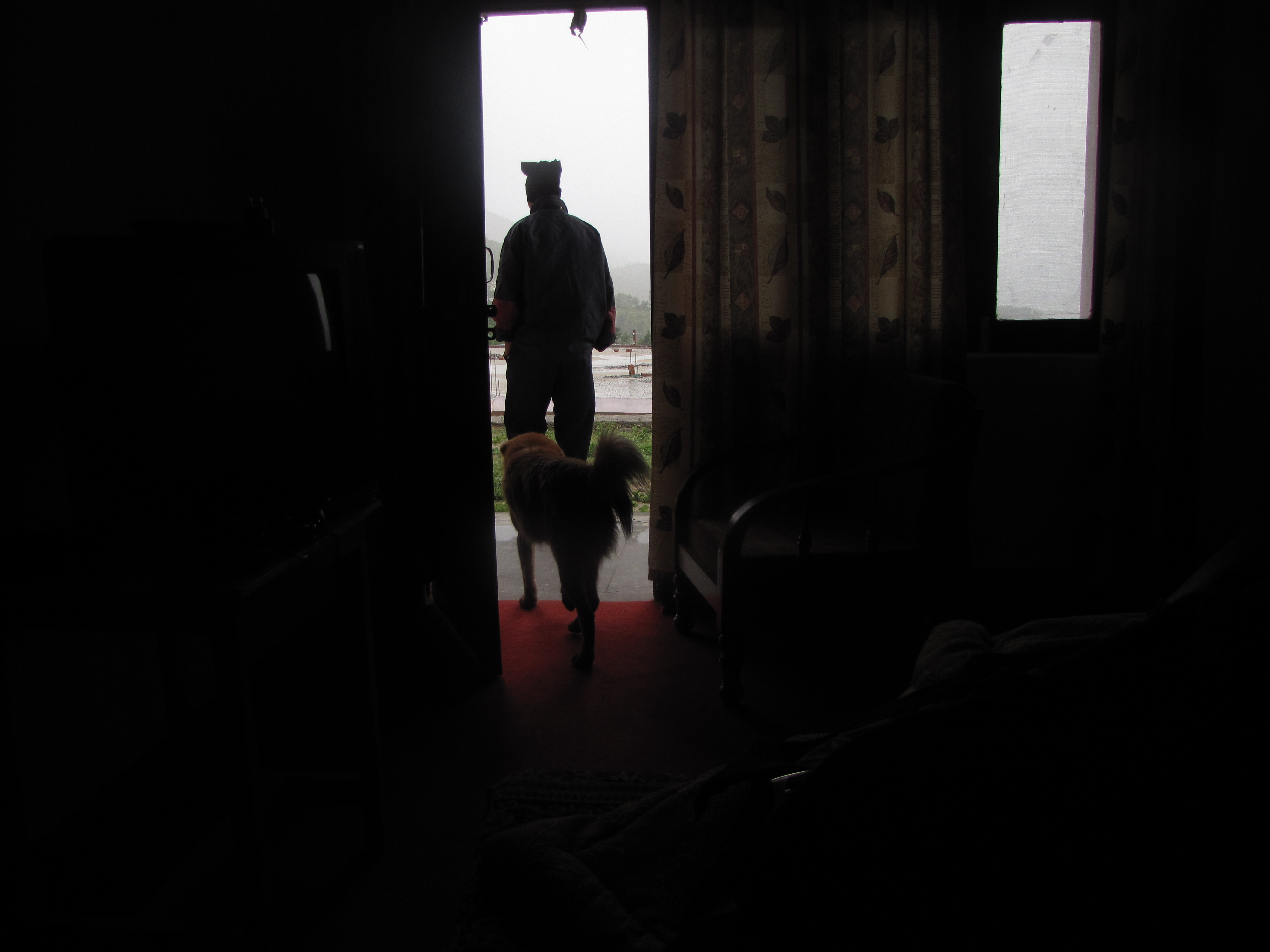
in the evening, a dog walked nonchalantly into our hotel room in gwaldam.
next morning, on the ride to baijnath: women working in the field.
day 6 map (second part): kausani-gagas (may 29)
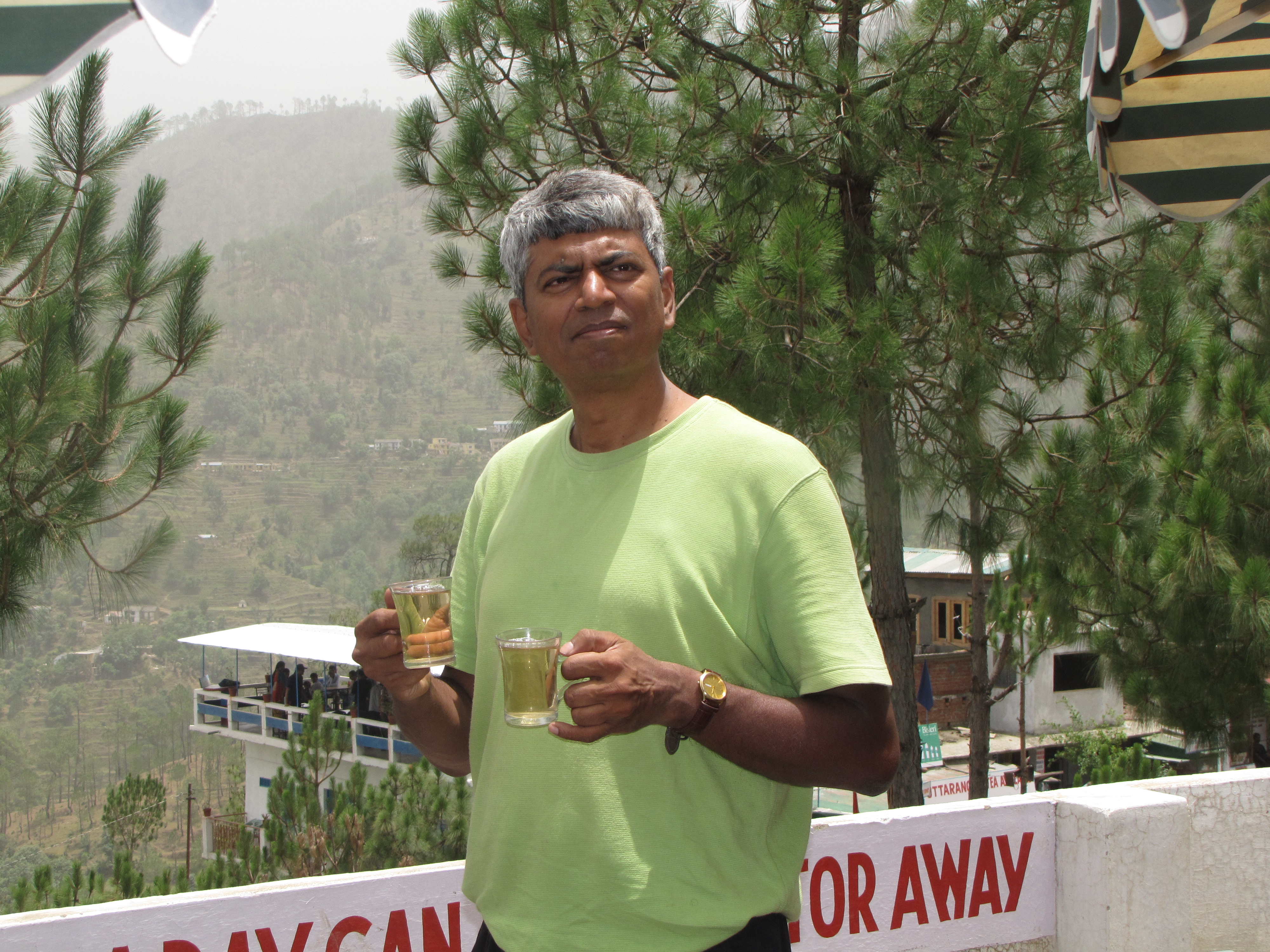
enjoying a cuppa of second flush tea at the girias tea estate

jhuntumama attending to a patient at a wayside stop.
dawarghatti: life in a himalayan village (4-5 jun)
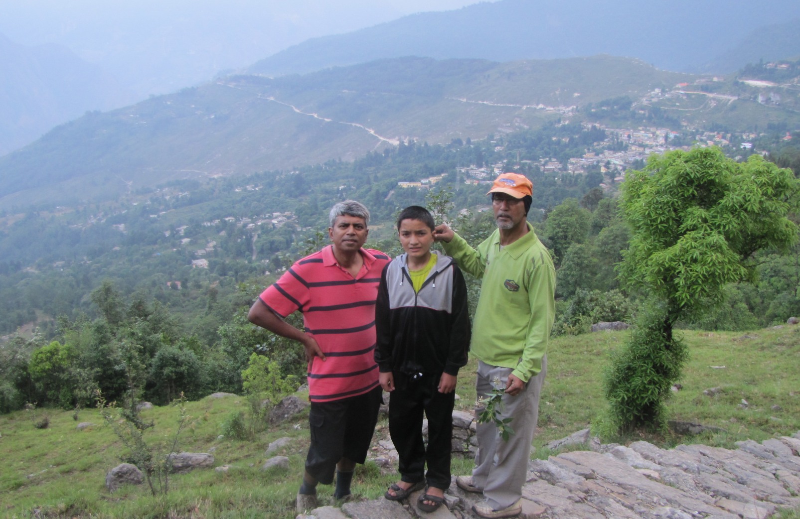
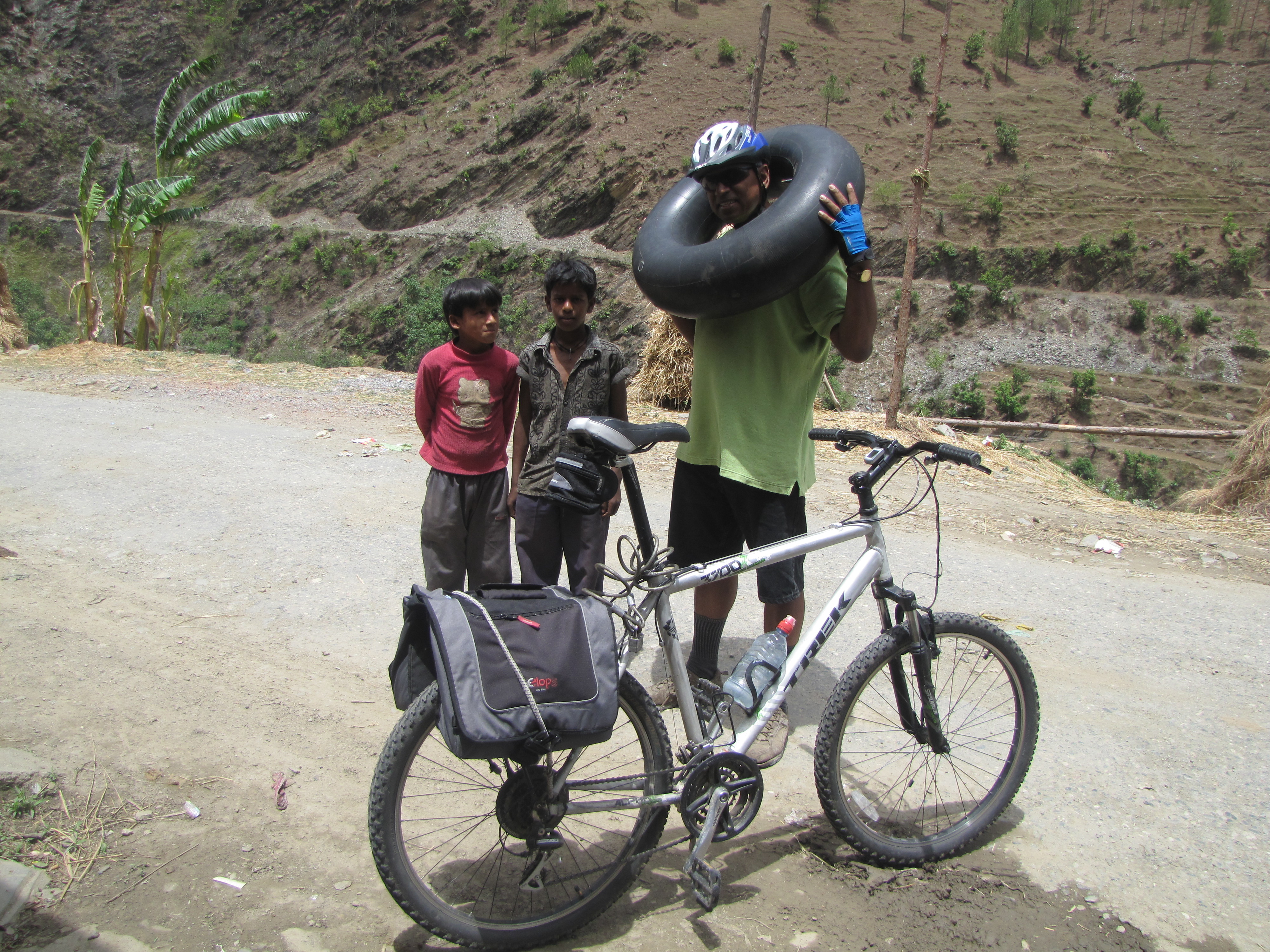
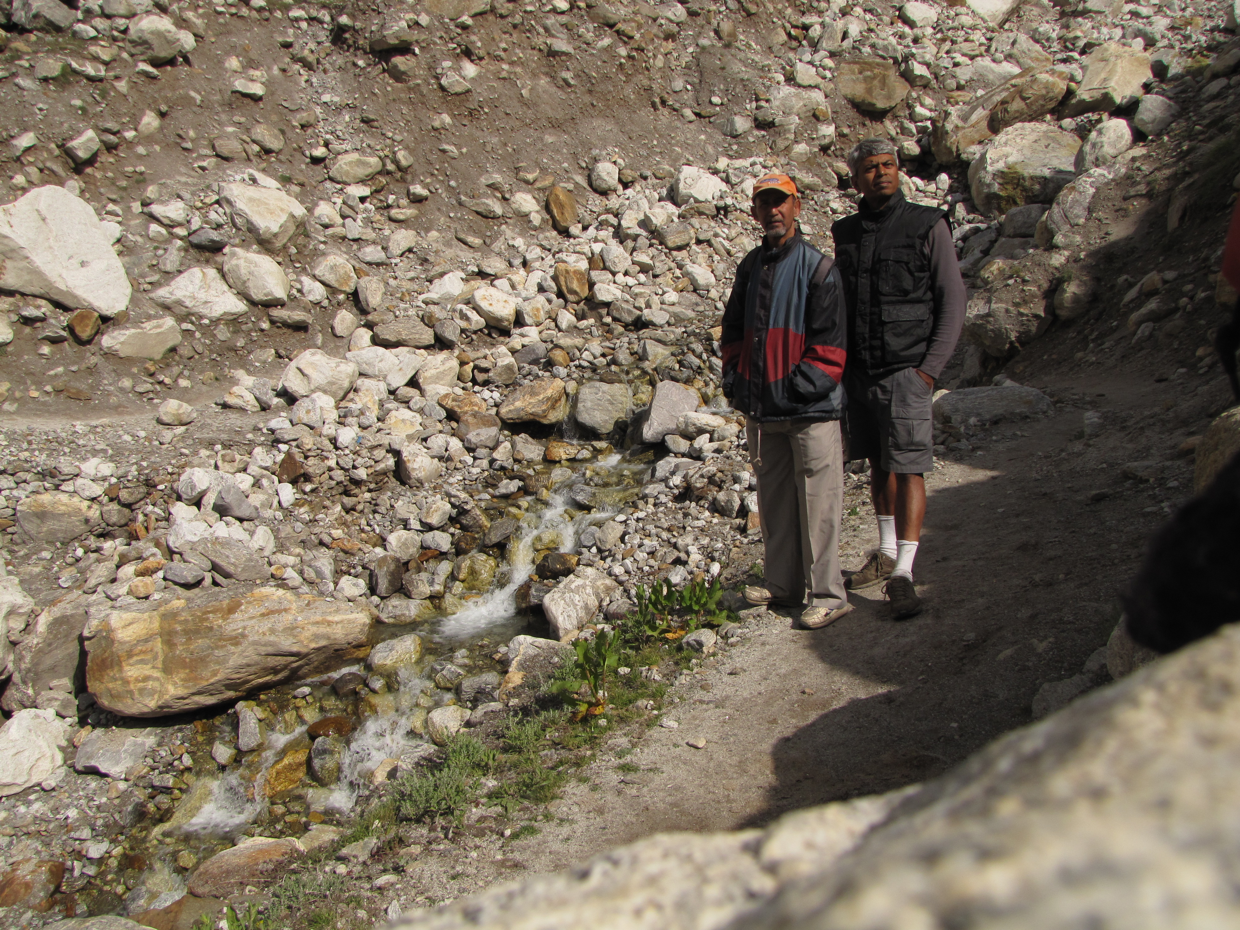
so we are back back at our idyllic retreat in dwaraghatti. we need some rest after a week of intense cycling. the car is sent back to kanpur on 28th night itself, now our plan is to live off the land, moving around on foot and on our bicycles. we will rest here till early june when we start for badrinath. over the next few days we get to know the devi ram household. he has three daughters and two sons. the eldest daughter is married and lives in ranikhet with their daughter. the older son is an occasional driver of jeeps on the ranikhet route. two more daughters are awaiting marriage. the youngest son, bhuvan, has just finished school and is looking to enter college. we go around the few houses along the road; most of the village of dawarghatti is on the slope below. we also often go to sauni, to get vegetables and provisions. we explore the local markets - buying vegetables and cooking ourselves. we have tea on the roof with a panoramic view to ranikhet. we walk down to sauni village twice a day to get stuff, and walk through the woods to nearby villages. i put in an occasional trip to tarikhet and once to ranikhet to get stuff. everyone in the village is very curious about us. how we cook on the little gas cylinder and the rice cooker, how we bicycle around, are all objects of intense attention. although we are in rest mode, in between, we put in two days of cycling, going to chaukhutiya and back. jhuntumama too needs some rest for his knees. being more of a trekker, he is not used to long distance bicycling.
'twas the season of marriages, and the Doli was much in demand for carrying the bride up the steep paths to their new homes.
jhuntumama w our friends jyoti, renu and arun.
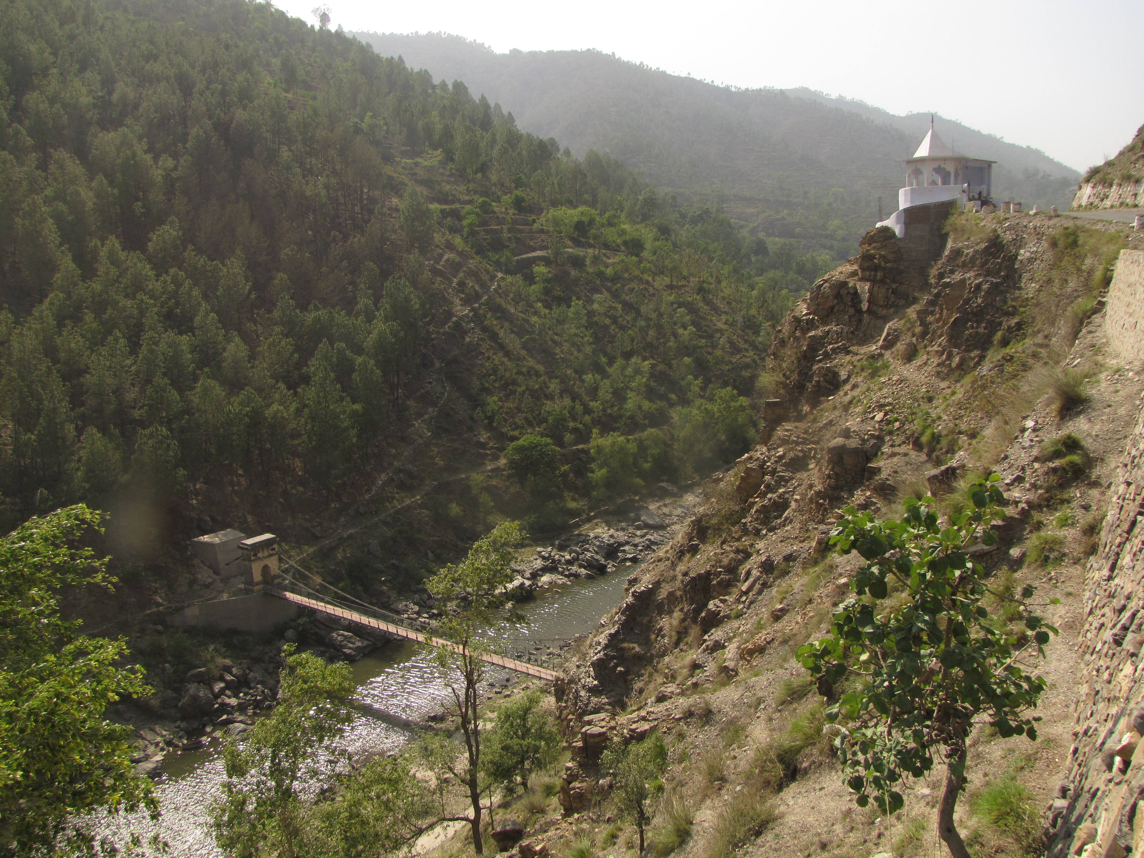
binsar mahadev temple just past sauni. panoramic view
gate of binsar temple; not many bicycles have parked here!
unknown blue bird; in sankhola village opp. sauni
jhuntumama outside our rooms. we had rented two barren rooms; meant to be shops, but there isn't enough custom in this small village. the terrace has spectacular views at sunset.
dawarghatti : life in a himalayan village phase 2 (4-5 jun)
bhuvan; devi ram
the devi ram house from above. a trishul stuck into the ground at a temple in the woods above sankhola
dawarghatti from sauni.
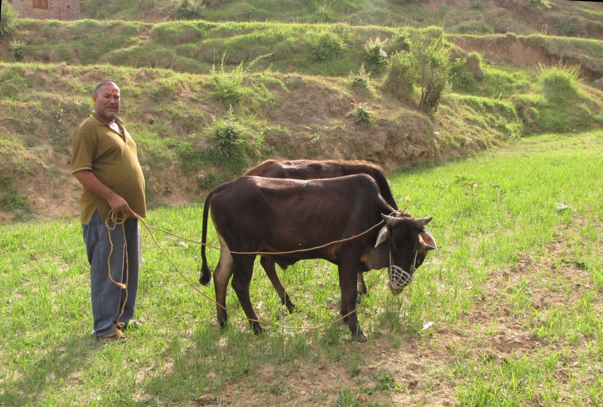
a farmer with oxen pair
devi ram's balcony has a fabulous view. his cousin ananth ram is a tenant.
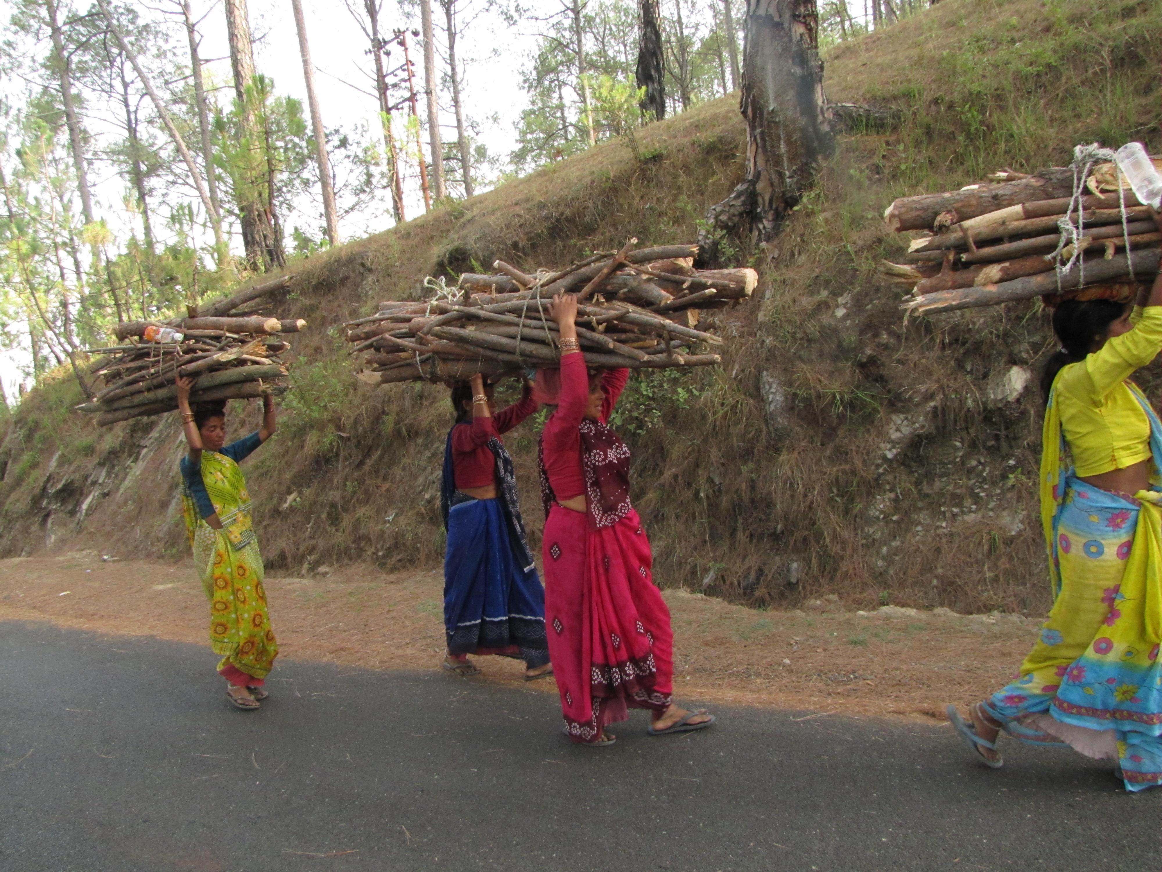
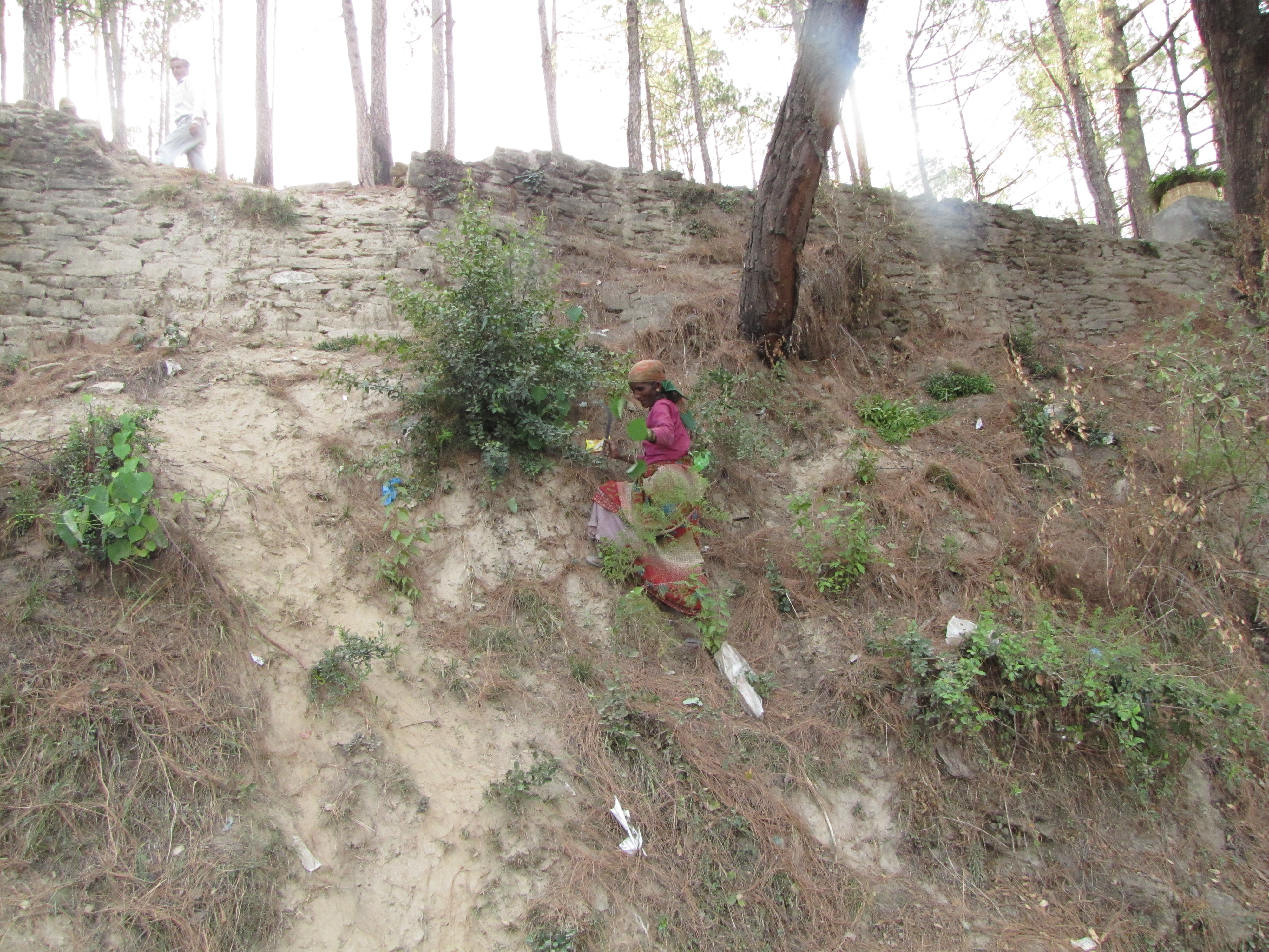
in addition to water, firewood and fodder are also major woes in the hills. it is invariably the women who will be carrying firewood and cutting fodder.

it was the season of marriages. a newly married couple at a ranikhet tea shop.
water crisis in the village
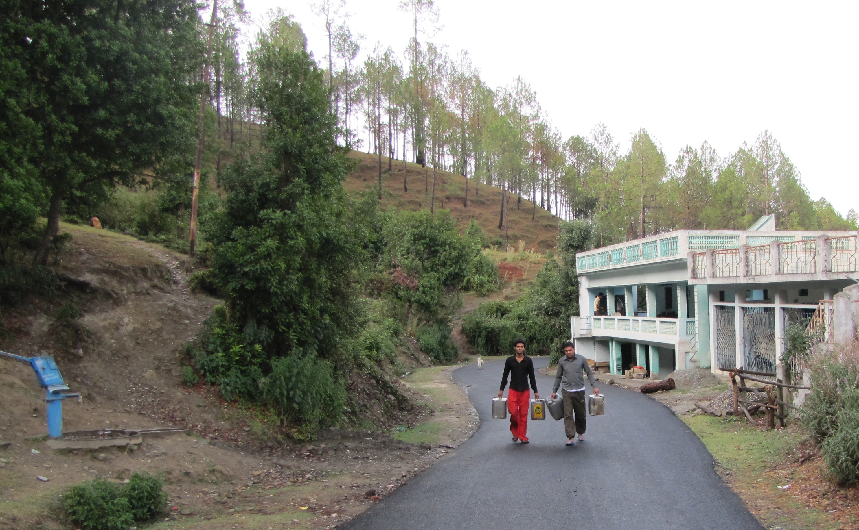
water was a constant concern in the village, as also in the entire region. there was a handpump a little down the road from us, but we were fortunate - others had to walk for upto a kilometer, balancing heavy tins of water on their heads. the situation is better for most of the year, when water stored in mountaintop reservoirs are piped into the villages; the early summer months are most problematic.water is a concern for farm animals as well. here a woman pumps water for her cow.
bhuvan and lalit getting water
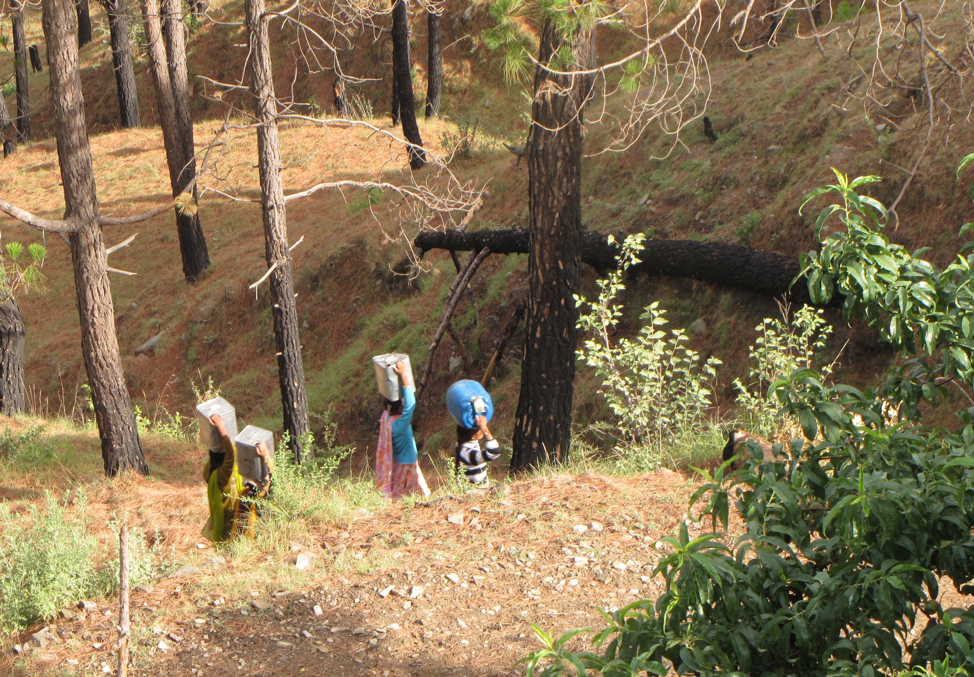
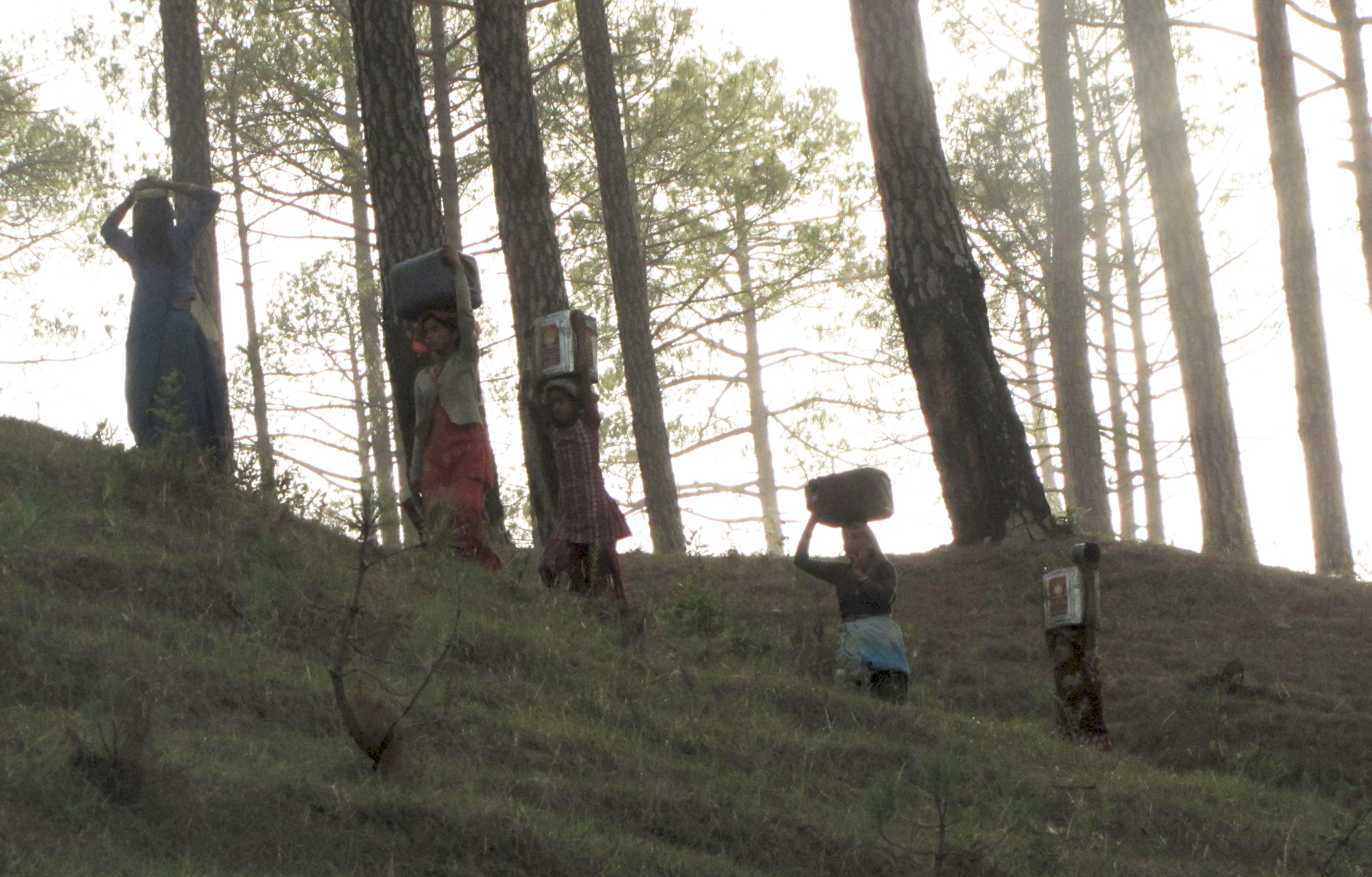
water becomes scarce april onwards. queues at the hand pump or at a tanker is a common sight. throughout the day, women will be carrying 20kg tins of water up and down the hillside.
Village life
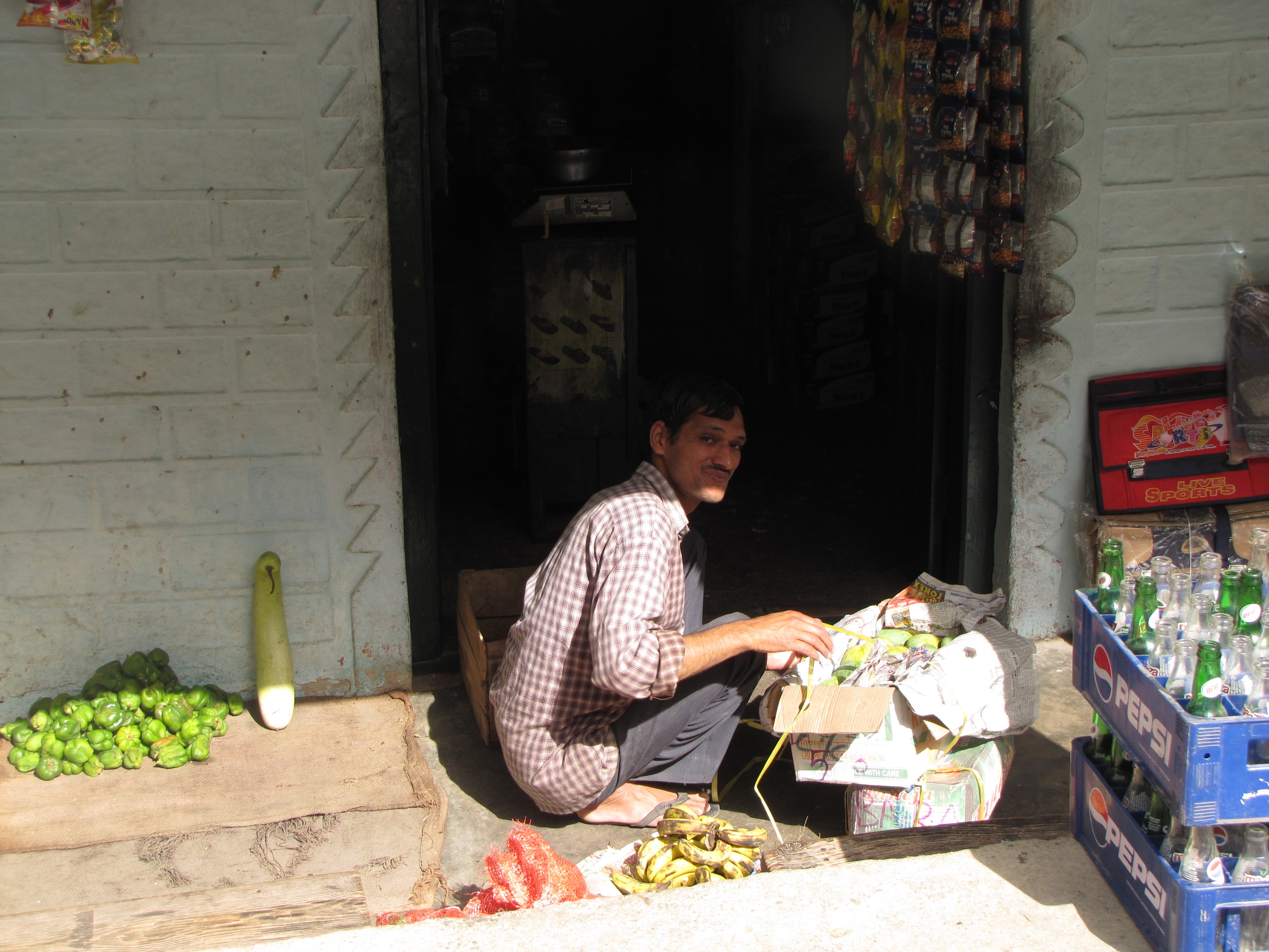
the shopkeeper next door under the subedars' house. jm petting the tewari's dog, called sherry. the tea shop in dawarghatti has this ramshackle hut with a valley view.
rustic temple at bhadui village just below dawarghatti. every village has such a temple
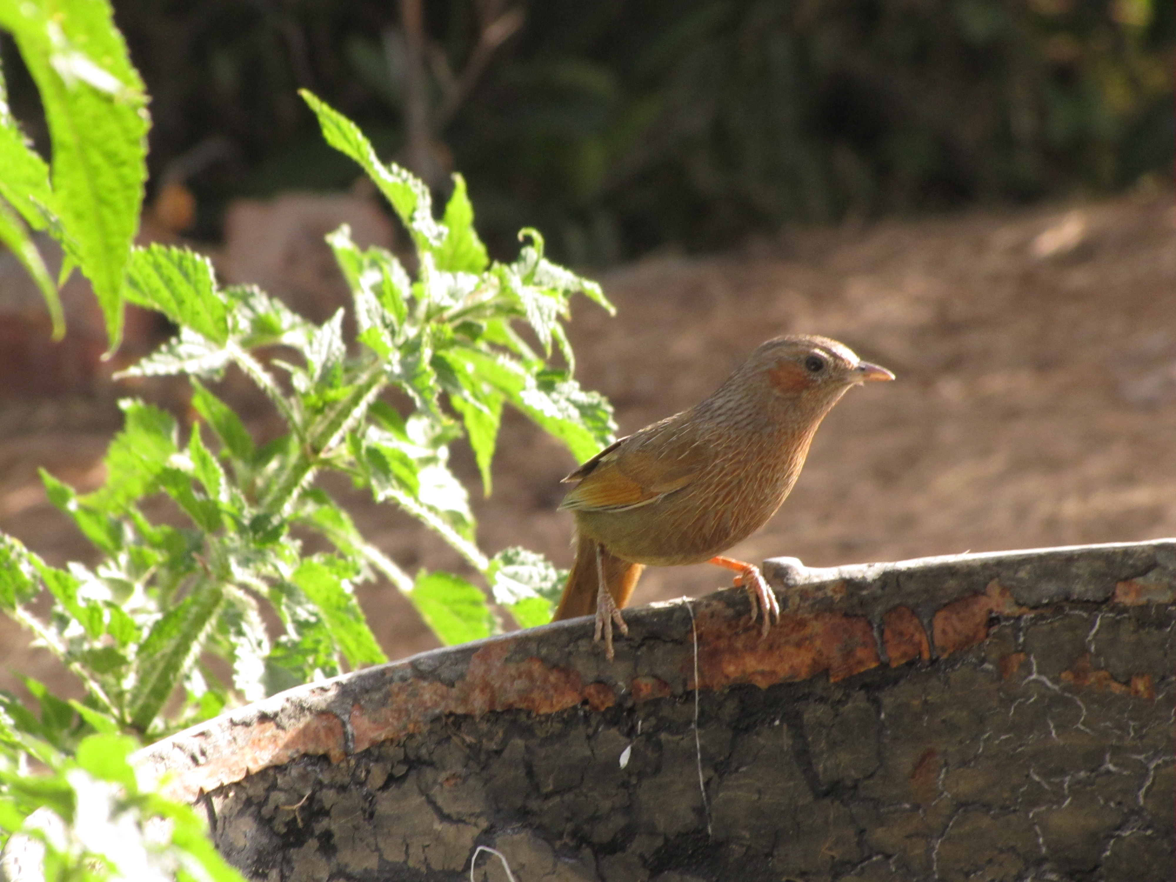
this babbler-like egregious bird is called mashi in pahaRi.
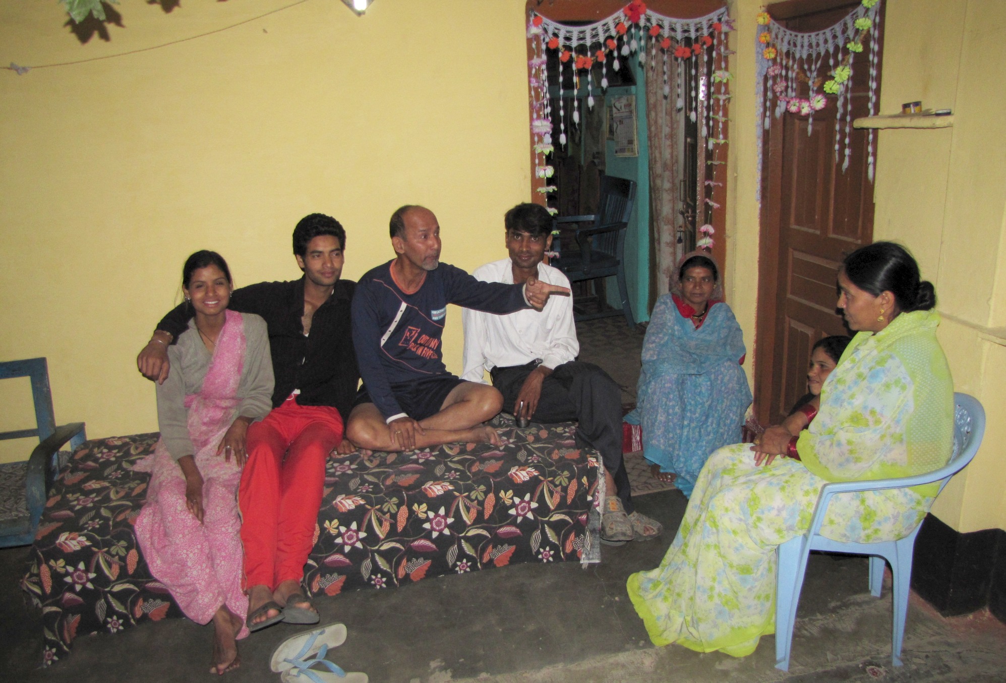
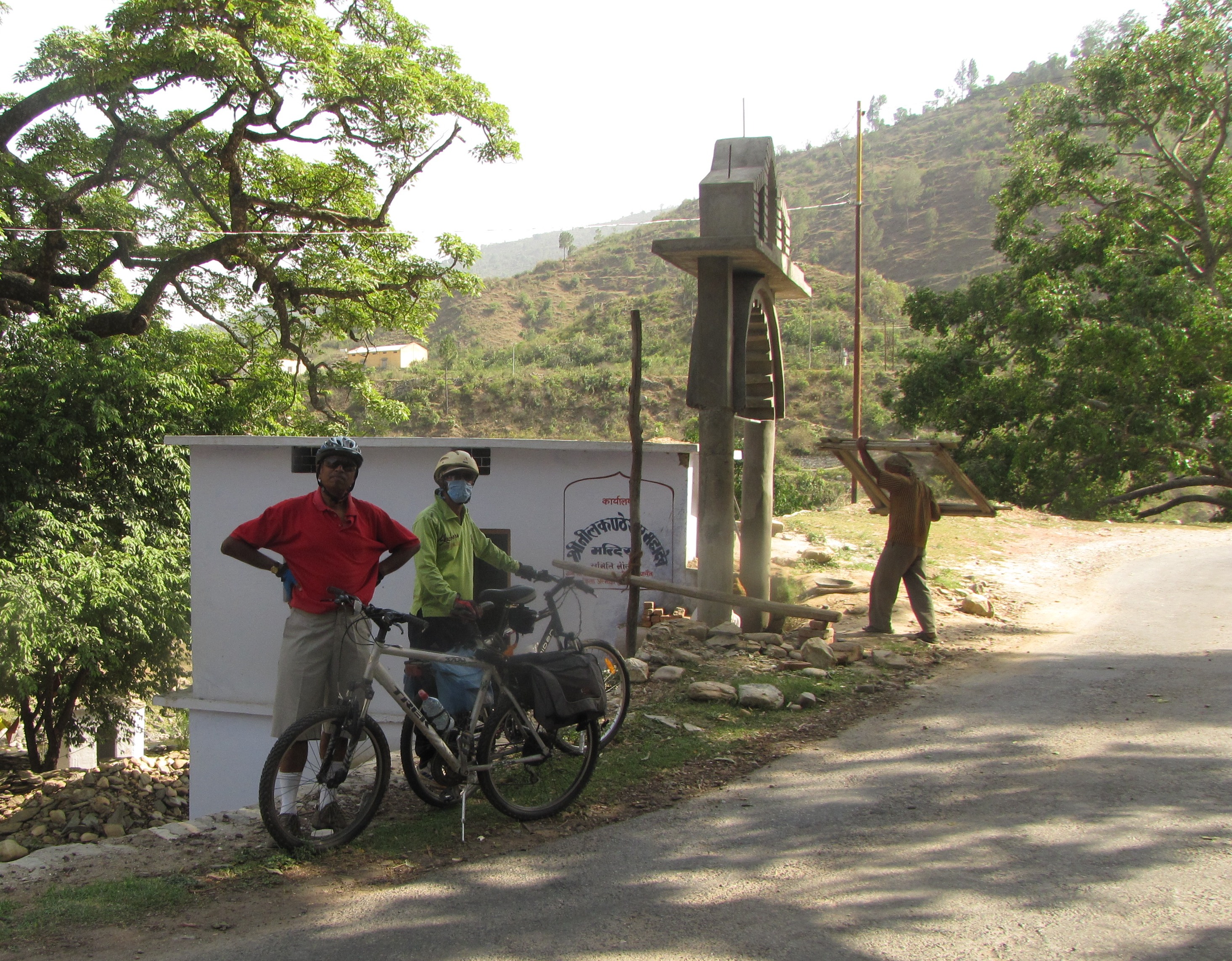
kailash upadhyay runs a teashop at sauni. group photo at devi ram's.
caught in a storm : mountain biking at night
4 jun:Evening 4:30pm leave for ranikhet. lots of crowds at the handpumps. reach tarikhet very quickly, and ganiatoli within 45 minutes or so. at ranikhet, i get photos made, inquire at bus stand, buy chicken - but then the storm breaks and the sky turns completely dark. i am stuck in the photo studio for a bit. lower down at the taxi stand they tell me that there are no more taxis for sauni. so a little past 6, i start to ride through the darkening skies. it's getting pretty dark and at ganiatoli i manage to buy two 10 rupee lighter-torches, tie them to the front and back, and head on down the road. it is quarter to seven and there enough residual light to just about make out the road, and i manage to negotiate the few unfinished patches on the road and reach tarikhet without incident. at tarikhet, there is a tractor who says he can take me, but he just goes and parks on the road - doesn't seem like he's going to go. also not sure how he'll pack the bicycle. i move on to a couple of waiting maxx's - one of them drives up with an empty rack, he is clearly available and i explain the situation but he says he's already late and can't take me. he says car 221 belonging to him - which is standing beside it - will take me - and he drives off. but car 221 is heavily loaded, and that driver also refuses to take me. there is a private vehicle who agrees to take my bicycle, but they have no space for me, and 221 won't take me either. so in the end i start pedalling into the night along the winding climbing road to dawarghatti. it is nearly-complete darkness - there is no moon even. The two cars overtake me, and i am negotiating the bend where Devi Ram says they had captured the cheetah which had killed a few dozen cows. the torches are completely inadequate; and then i try my mobile light - it's a nokia e63 - and that's a lot better. however, the mobile battery fails after some 15 minutes, and then i am proceeding on the faint light of the one LCD chinese torch. suddenly a maxx appears, and i ask for a ride, but the driver says, you carry on, i'll be behind you. so with the help of his headlights, i finish the climb, which means i am about 1km+ from dawarghatti, and then on the downhill, at the turns i wait for the headlights to catch up with me. the driver's name is anil, and he won't take money so i give him a packet of perAs i had bought from a sweetshop in ranikhet.
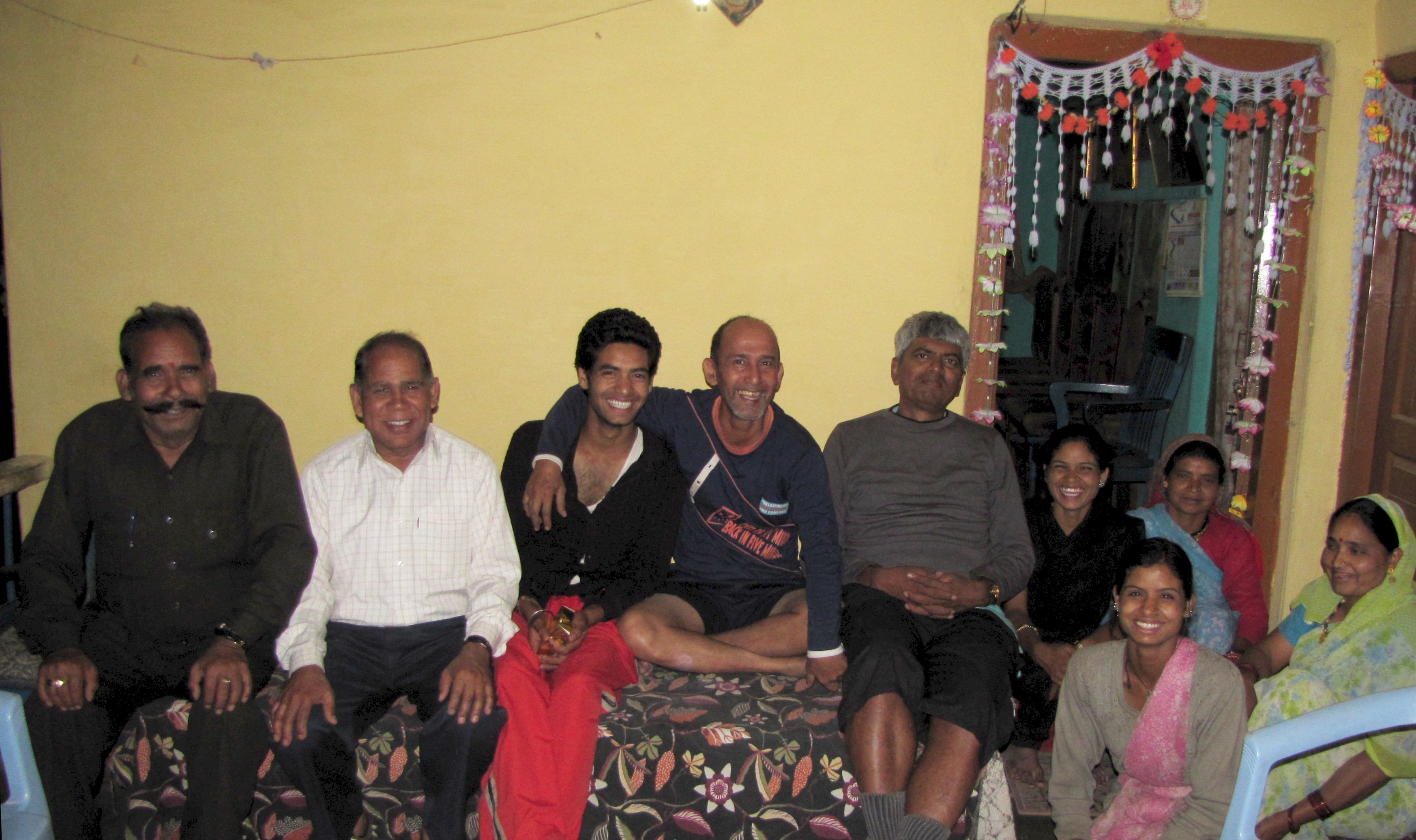
group photo with the devi ram family... t
chaukhutiya loop
though we had initially thought we would rest the whole week, after a few days, we decide to go for a cycling trip to chaukhutiya. partly, we want to make sure we are acclimatized to bicycling without a support car. jm will probably not do the ride back, so we will also be practicing for the forthcoming badrinath ride.day 1: dawarahatti to bhatronj khan to bhikiya sain to chaukhutiya 80km
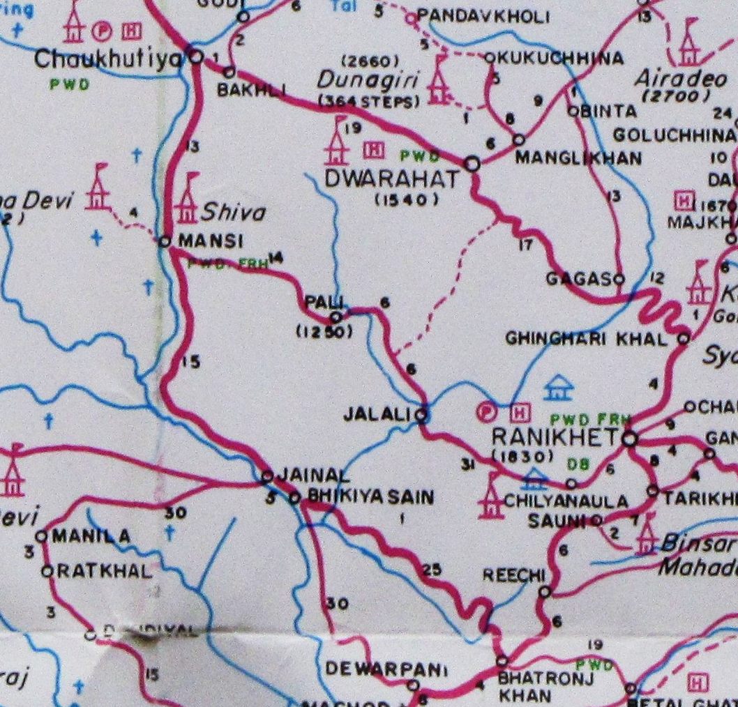
map of chaukhutiya loop. dawarhatti is near sauni (below ranikhet).
outgoing: via bhatronj khan / bhikiyasain.
return: via dwarahat / gagas.
we leave early, going down to the small river bridge, and climbing slowly to reechi where we cross over to the other side of the mountain to find a green landscape spread out before us.
a photo halt in the pines at reechi.
a small bird seen near reechi.
on the road to bhikiyasain. lunch.
on the road ...
ramganga gorge. temple on cliff at river turning.
sanaNa. on the road nearing mansi...
the river turns at a small village approaching mansi. at paTiya-chowrA, kids lounging around near the river.
everyday life on the ramganga...
panoramic view of ramganga valley from hotel at chaukhatiya
day 2: chaukhutiya-ranikhet via dwarahat 62km
2 junwe take a walk along the town in the morning, and i look around for an internet booth, but no luck. i leave after breakfast at 10:15 - jhuntumama is going to be heading back with the cycle by bus. it's more or less a steady uphill to dwarahat which is known for the dunagiri temple where you climb 365 steps (which i miss) and an engineering college (which i cross). i take an one hour internet break to cover the unfinished registration for the TfN. continue at 13:15. cross kafra at 1400 and reach gagas by 1430, and take a break at the shop after the bridge. there are beer bottles piled in a room next door and a drunk is sleeping on the floor. the owner says he works for the water supply office, it is june 2 and he has just gotten his pay... the shop owner tries to act as if he is innocent about the source of his alcohol. i cross the water supply compound, just a hundred meters at the first bend as i start my climb to ranikhet. approaching the village of mauna, i cross the wayfarer solitaire, a resort which doesn't seem too busy. The rooms are Rs 1400, the staff tell me. I am sure views will be better in the spring and autumn, when one can see the Himalayas from this valley. Approaching every bend, I imagine that Gingarikhal is just on the other side, but it doesn't happen, and I am pedalling on and on and on. Eventually, around quarter to six, I reach Gingarikhal. Jhuntumama is leaving by a taxi; we talk, but I can't cover the 5km to the Tribhuwan hotel in time and his car leaves. However, there is a taxi available, and it takes me for Rs 20 + another 20 for the cycle.
gagas to ranikhet : an unrelenting climb through pine forests.
tea break at a small tea-shop overlooking the gagas river valley
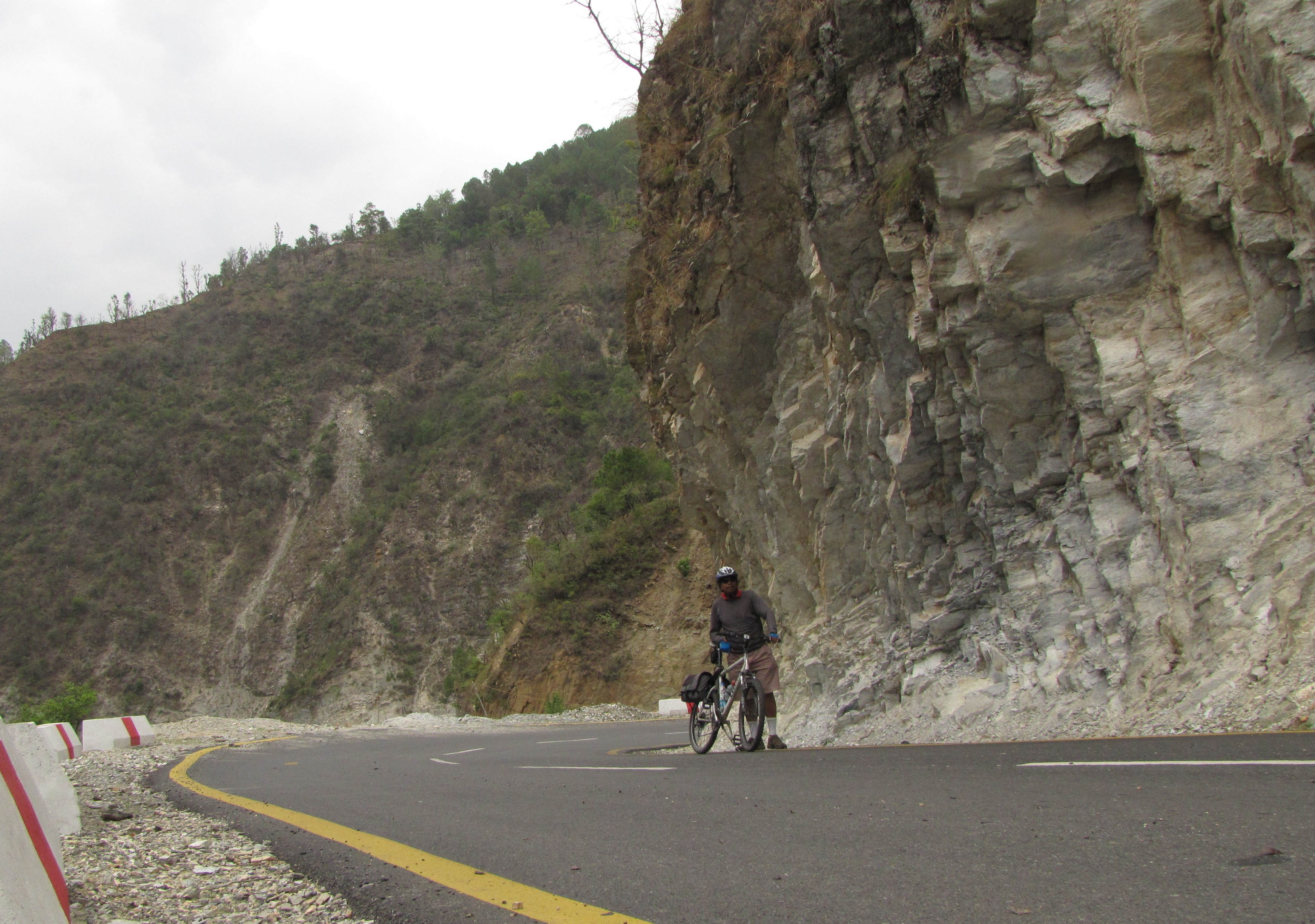
dawarghatti to badrinath
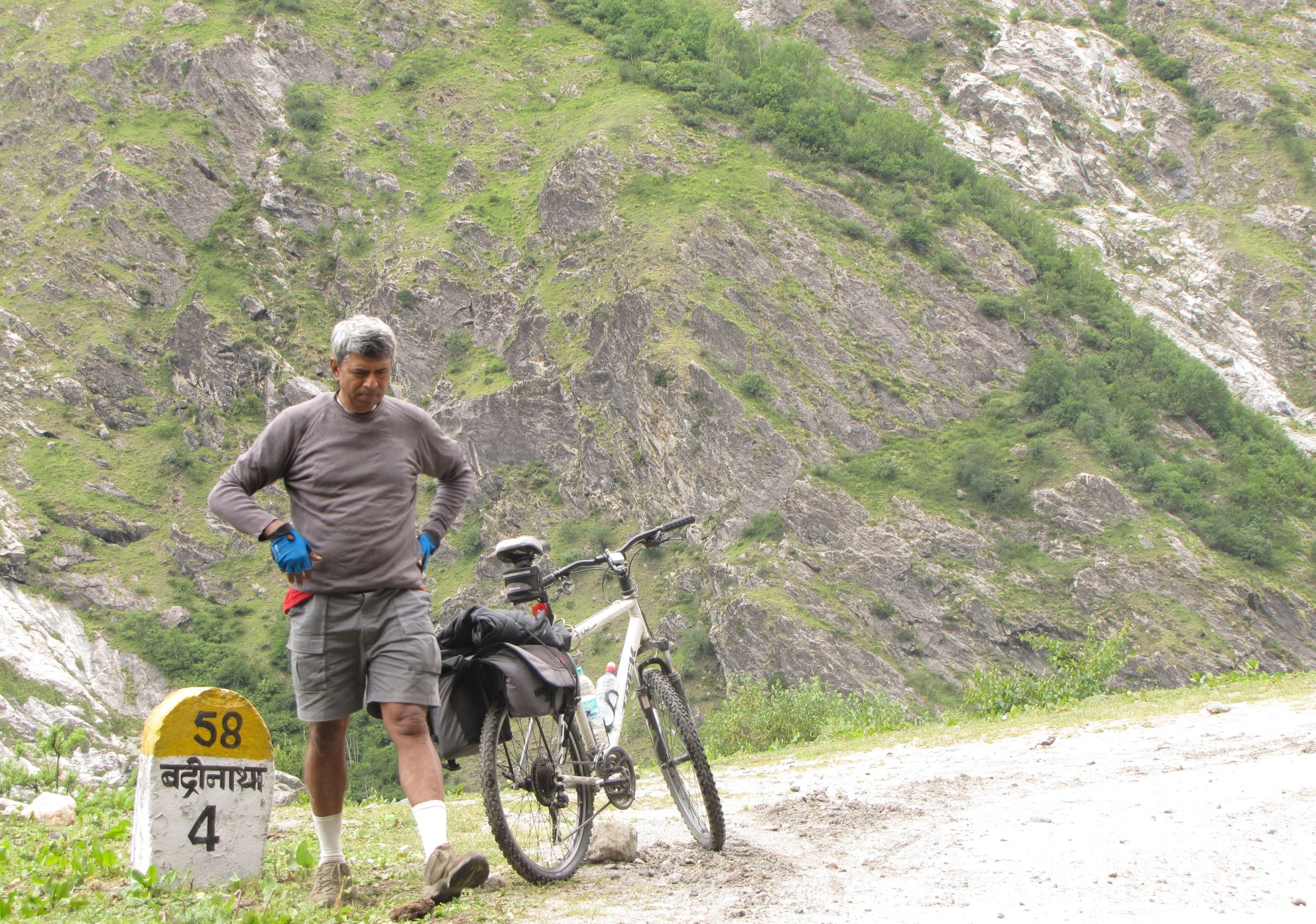
dewal khal to karanprayag 36km (6jun)

off to badrinath. first leg map, from dewal khal to karanprayag (jun 6)
on the downhills, i far outstripped jm's bus. a self-timer picture at an overhang.
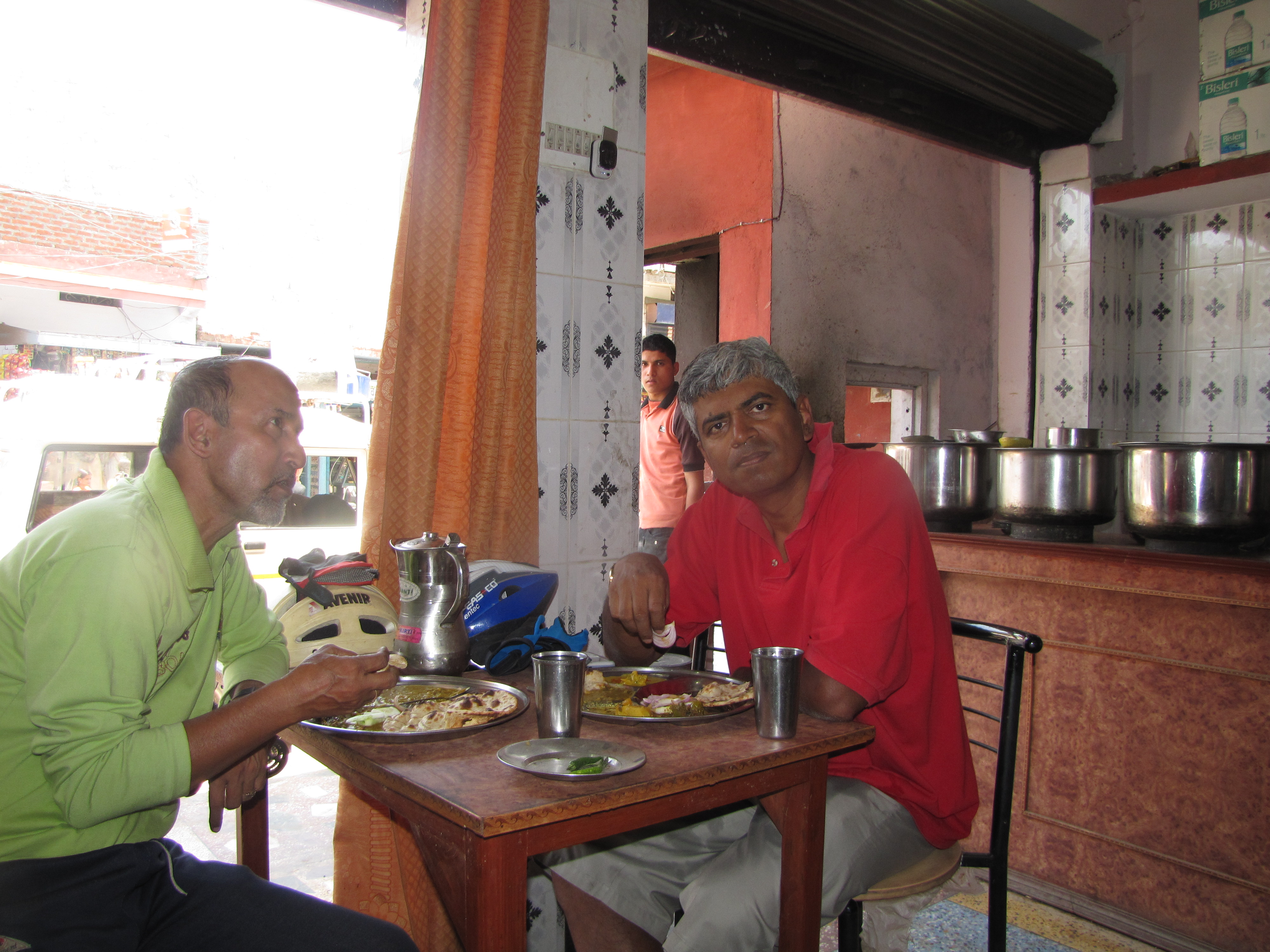
the hotelier family in karanprayag
karanprayag to joshimath 87km (8jun)
bicycling route map: karanprayag to joshimath to badri (jun 8-10)
so despite my puncture and burst tube and other woes, i made it to joshimath.
from here, the roads are relatively busy, well-lined with hotels, guest houses and dharamshalas. looking down at the river at night, one sees the commercialism that has lines both sides of the river. the river alaknandA originates from the glacier-fed satopanth tAl (4400m) - a 3-day trek from manA - and flows down past badrinAth eventually to rishikesh and beyond. this is the entire route we will be taking in the next few days. karnprayag is our first prayag (sacred confluence) town. in the in the next few days, we will be visiting all five prayags which mark the passage of the alaknanda and bhagirathi from the himalayas down to the ganga of the plains :starting off: 83km to joshimath
after i retrieve the bicycle from the shop at the ground floor of the hotel, i find that the rear tire has a flat!! but i am not too worried. in the past, i have ridden around for days with a slow flat. so we pump it up with the proper pump we are carrying, and then i am on the road by 7 AM, while jhuntumama boards a bus to joshimath. his cycle and some luggage stays behind at karanprayag. i haven't ever done 87kms of such steep climbs by bicycle, so i am not too sure if i can pull it off. my target is to cover the 46km to pipalkoti at least, and then see if i can get to any decent towns with hotels beyond this - perhaps to gulabkoti (58km). i have been reading up on several organized "cycling tours" aimed at foren tourist types, who seem to be doing karanprayag to joshimath over three days. so our understanding is that i will catch up with jhuntumama tomorrow.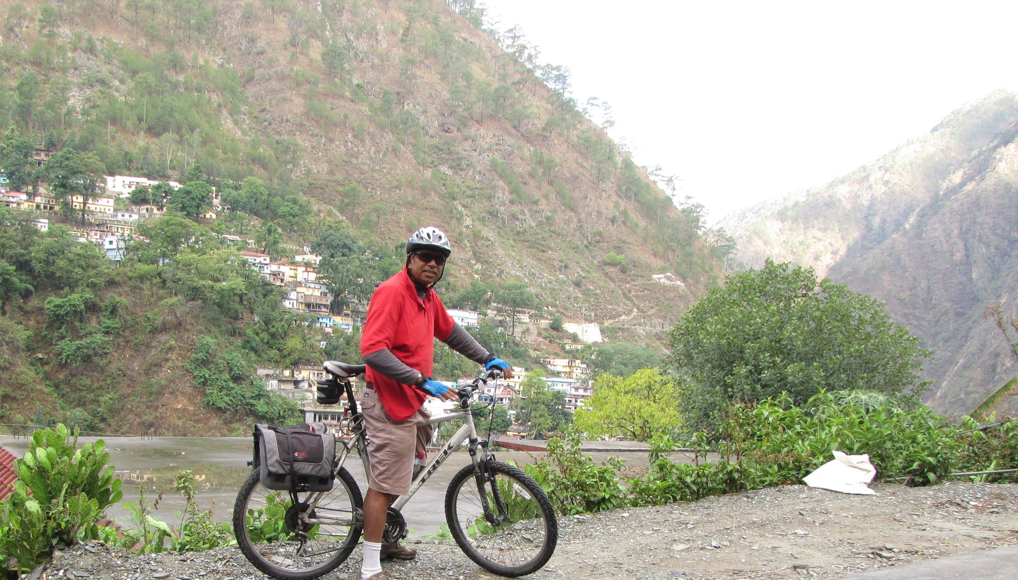
starting off from karanprayag. the confluence of pindar and alaknanda below me as i climb.
the route from here till badrinath more or less follows the alaknanda valley, except for small diversions such as joshimath.
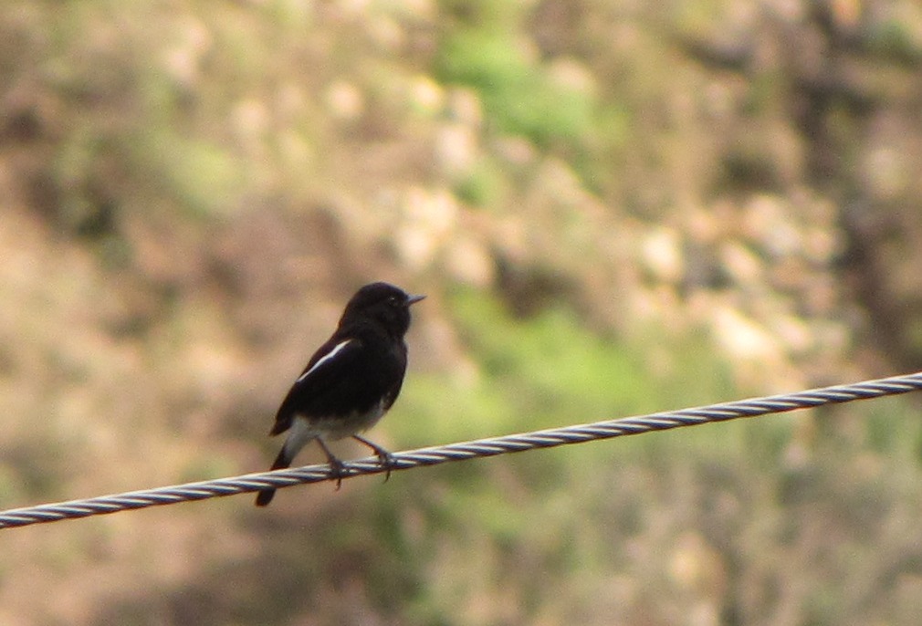
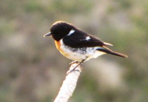
the alaknanda rushing by below. a pied bushchat singing in the morning
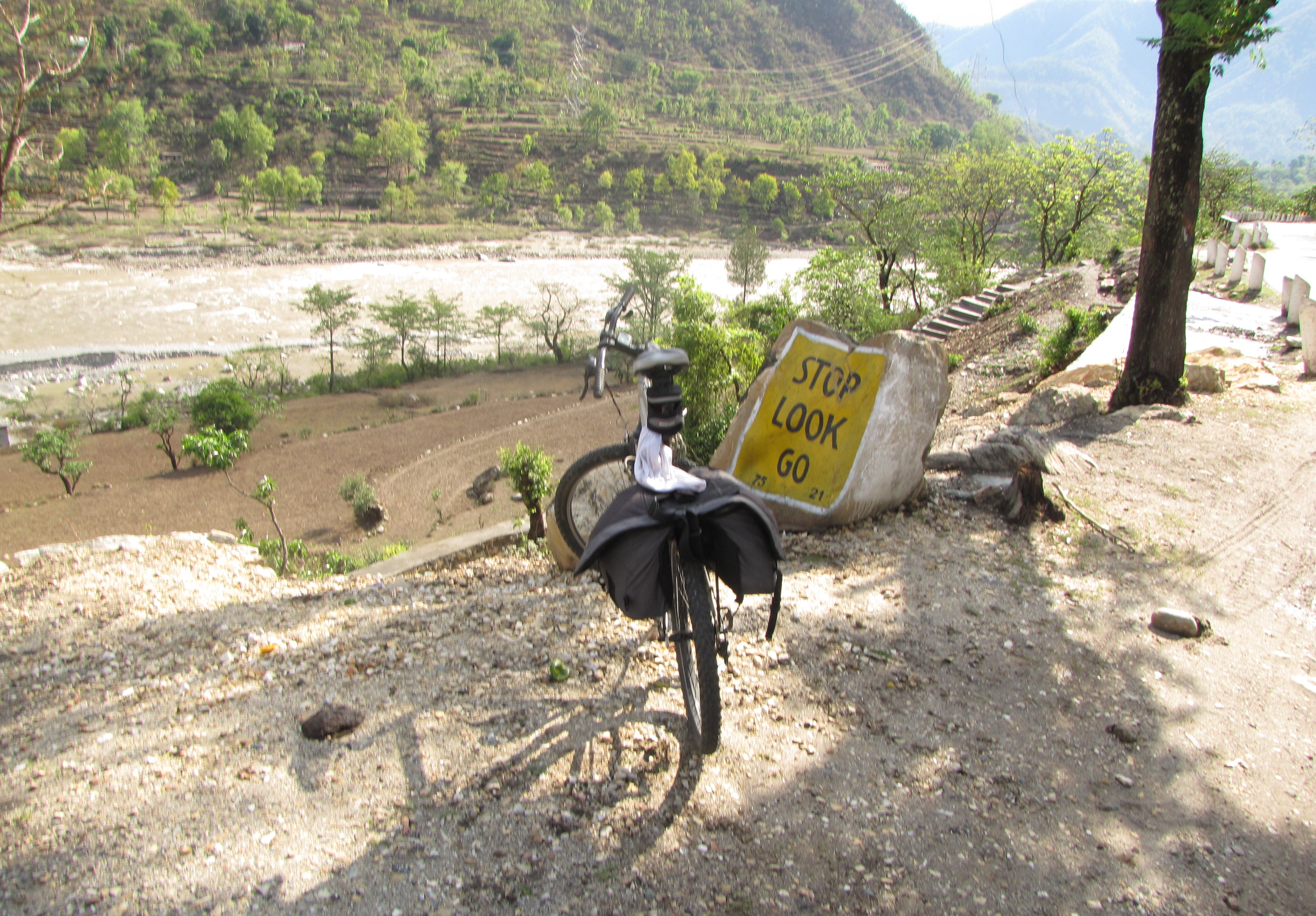
stop look go: that's my spirit!! an island in the stream.
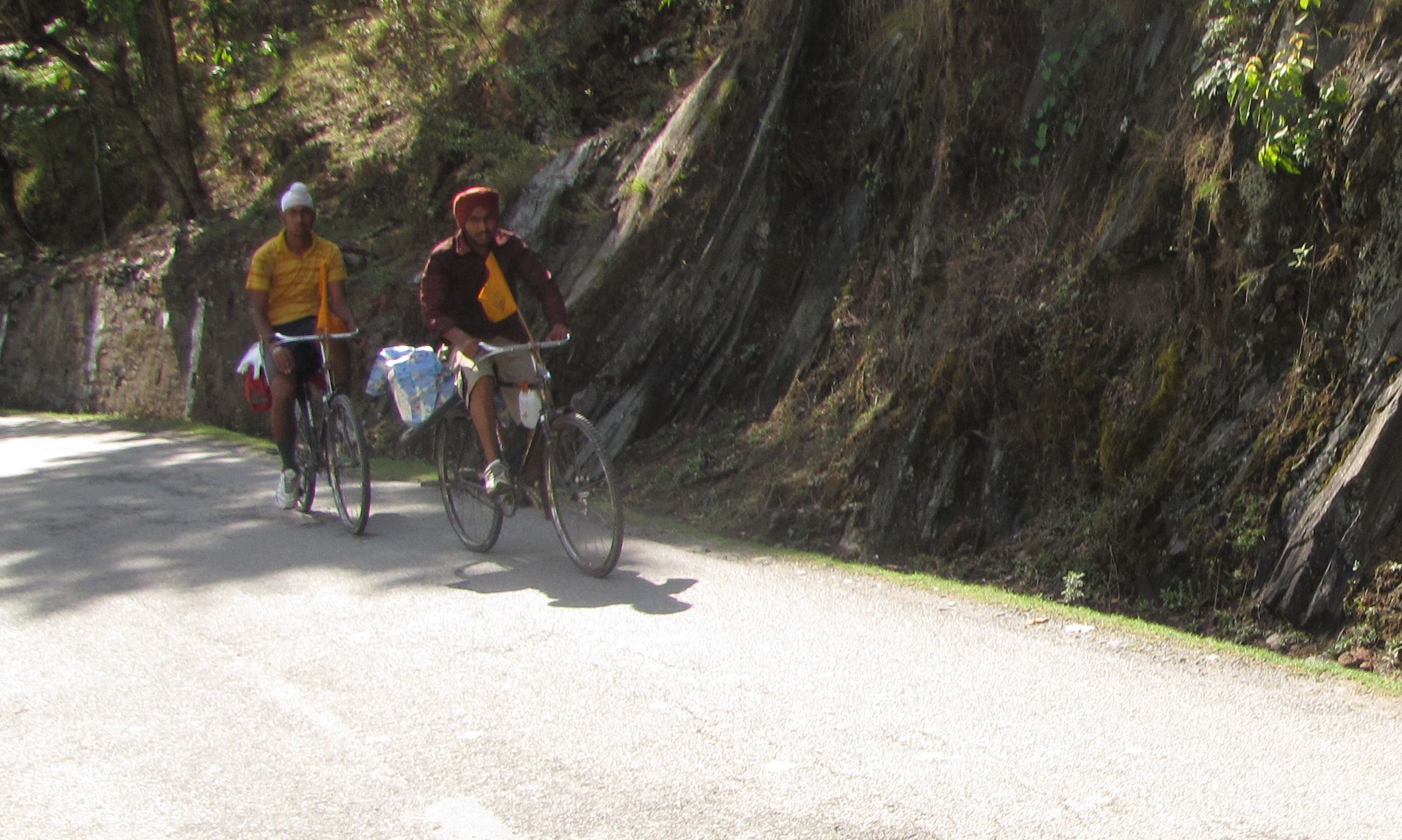
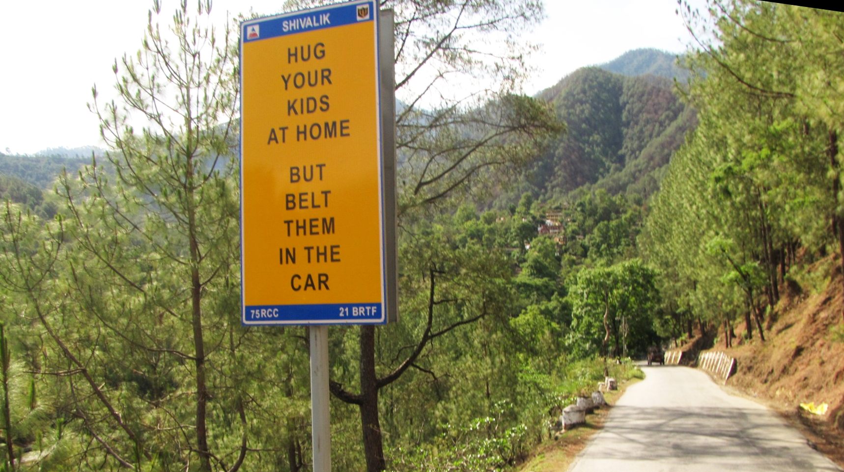
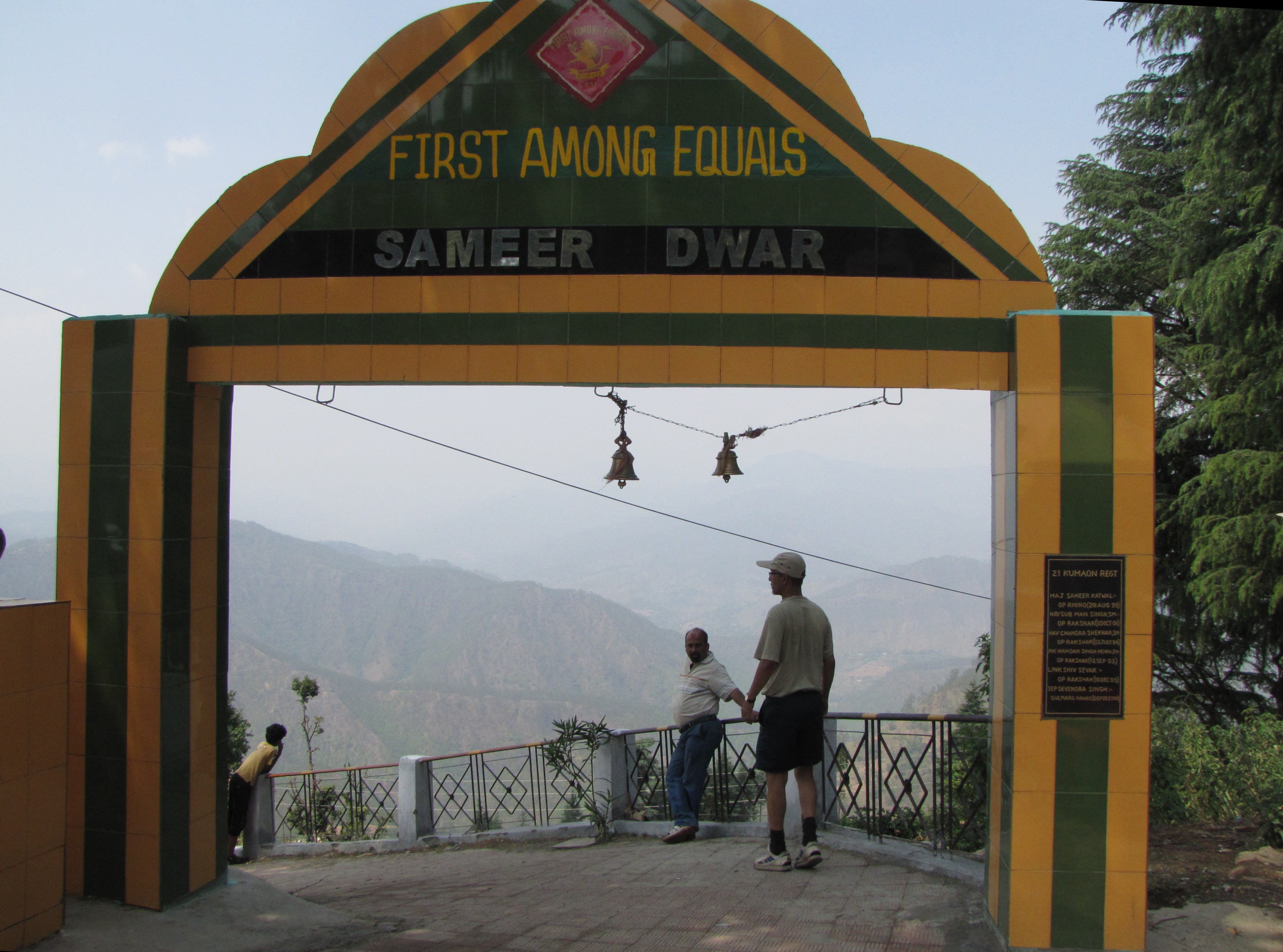
we saw quite a few sikhs who had made the hemkund trip on bicycles. the mountain roads are full of clever signs put up by various army and civil bodies.
chamoli jail. it has a grand view of the alaknanda gorge. crime agar karna hi ho, to aise jagah me ho...
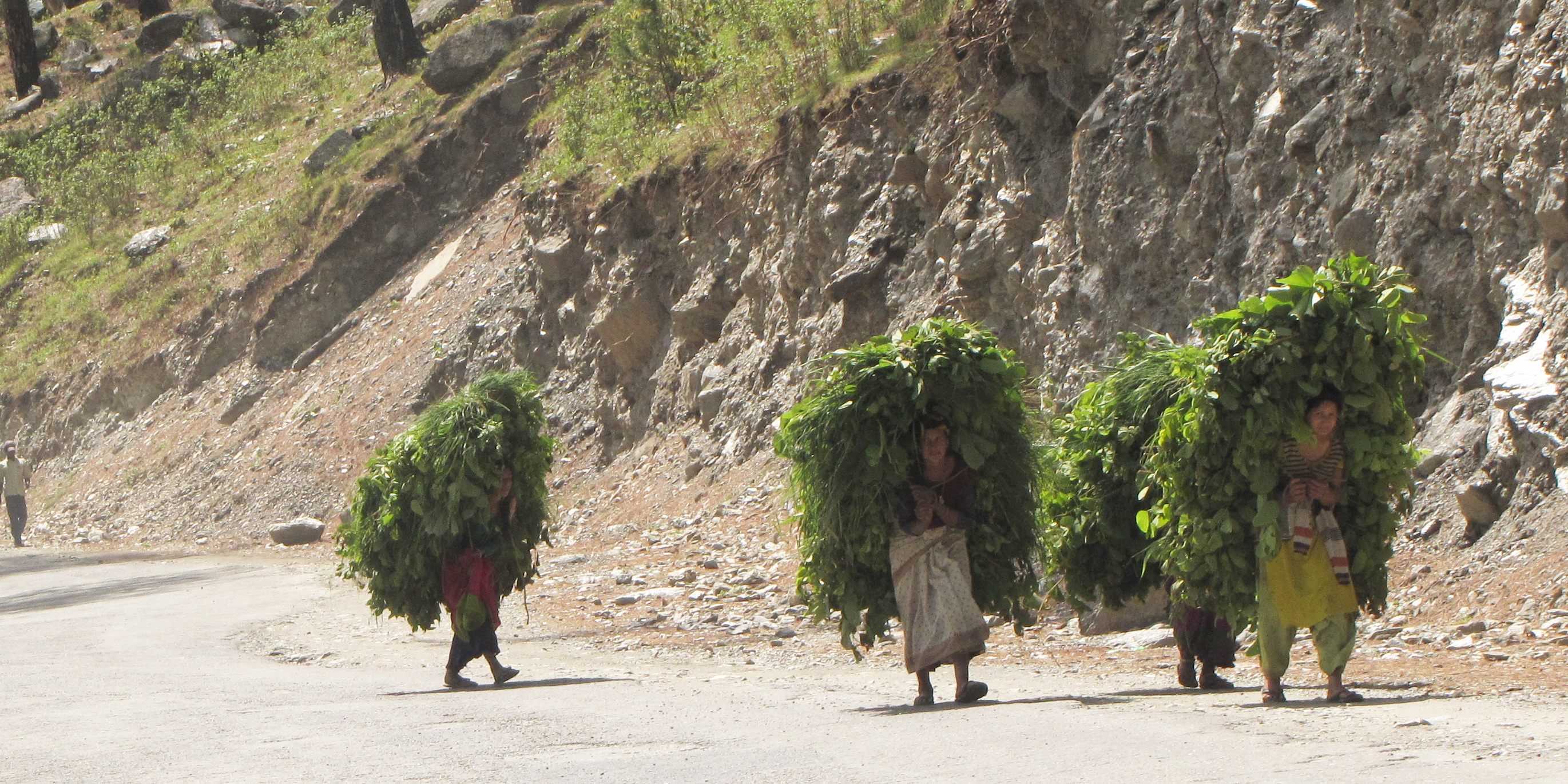
it's a tough life in the hills - and it's amazing how much of the tough work is done by the women. just before birahi, women carrying fodder.
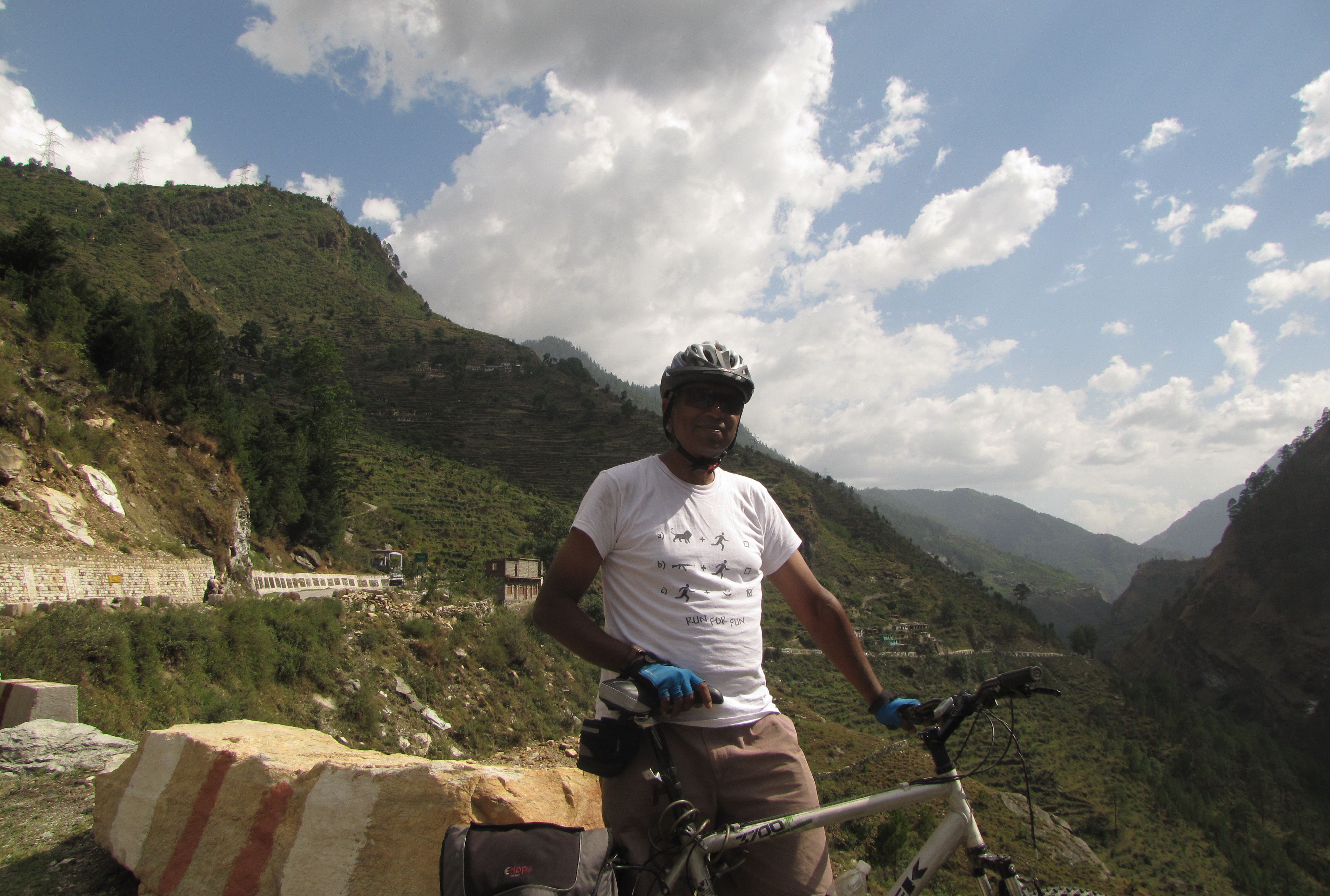
photo-break...
one body-length at a time
this sannyasi is on a particularly difficult penance - he is coming from haridwar, and he is going to visit the main pilgrimage sites. there are many others whom you see walking - in small groups, or quite often, by themselves. but this man is not walking - he is going one body-length at a time. he lies down on the road, marks the position of his head by his small bundle of possessions, and then get up and lies down again, starting at the bundle. in this way he will go all the way from haridwar to badrinath - some 320 kilometers. Dennison Berwick, a british traveller who walked along the whole length of the ganga, found such a man once:I saw a man lying face down in the middle of the road. He was marking a line ahead of himself with a stick, then standing up and pacing to the line, pausing to pray, then lying down again in the dust. I was amazed and stood watching at the side of the road as he approached slowly by body-lengths. "Where are you going?" I asked when he stopped and greeted me. "Madras," he said. "Madras!" I exclaimed. "But that's over a thousand miles away." "You are coming from?" "Ganga Sagar. Calcutta." "Is it so? Very far." I was so astonished ... that I forgot to ask where he was coming from. White dust covered his shirt, his knee-length lungi and the fronts of his dark, brown legs like bizarre make-up. He carried nothing with him, not even a blanket or a begging bowl. His eyes were bright, yet calm with quiet confidence, and he was perhaps 40 years old. - A walk along the Ganges, p.207why do people do such things, one wonders. but within the next few kilometers, i would have cause to wonder even more.
rickshawing to badrinath
perhaps the most interesting sight for me on these roads were three intrepid souls who were riding this rickshaw all the way from kamakhya temple, near gauhati, assam, some 2000 km away. they had modified the rickshaw so it had a cover for the rain. each day, they go as far as they can and then they stop until the next morning. they had taken three months on the road, visiting a number of pilgrimage sites on the way. i saw them first pushing up the rickshaw on the approach to joshimath. i would meet them again after a couple of days.going uphill
going downhill, chanting bhajans!!
puncture and calamity!!
just before helang, i was going along some rough roads and failed to notice that my tube was out of air, so the tube got a bit damaged. nonetheless i was able to pump it up and started on the series of switchbacks leading to joshimath. however, after some 3 kms, the air was out again. so i stopped to change the tube and put in the spare tube that i was carrying in the bag slung over my carrier. as i was setting it up to change the tube, a pickup truck came by. i waved it down and it stopped. so i put in my bicycle with the half-opened tube, and clambered on. the driver was a young boy who had married recently, and was returning after some deliveries. he dropped me off at a tire shop. the man running the shop was busy and also hesitant to do a bicycle repair. so i removed the tire (the fat bontrager tires come off without tools when deflated) - and replaced the tube and went to the shop's compressor hose to start filling it up. suddenly i saw that a bit of tube that hadn't been sealed properly had popped out and before i could deflate it, it burst with a loud bang. so there went my only spare tube. now, the man took my other tube which had a long rupture since it had been ridden without air - but he fixed it with two overlapping patches, filled it up, and i was on my way again. i climbed up the rest of the way into joshimath and reached the main market. i was worrying about how to find out where jhuntumama might be when a policeman at a junction stopped me and told me that "my friend" was at the birla guest house just down the road! so despite my puncture and burst tube and other woes, i made it to joshimath. and though i had taken a lift of about 4km on some steep roads, i was there well within daylight even!joshimath to badrinath 48km (10jun)

view from joshimath
started from joshimath at 6 am. the first batch of vehicles are about to leave, and i weave through the long line of waiting buses, cars and suv's to get a head start. the first few km we go down to the alaknanda, then we climb up on the other side. but the puncture is not repaired; i am having to pump up air every 5-10 kilometers.
vishnuprayag
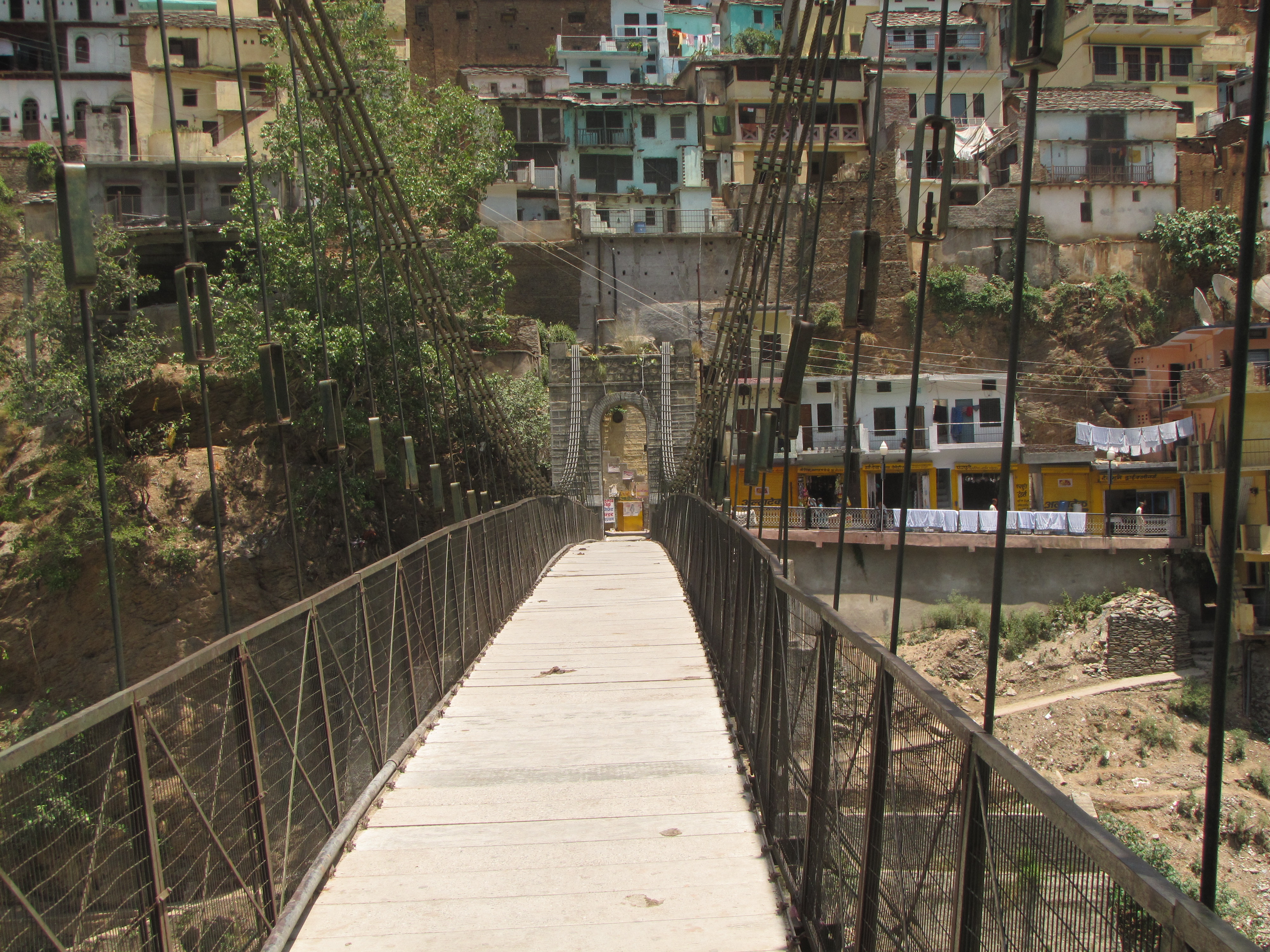
at vishnuprayag, we cross a bridge on the alaknanda to get to the other side. here the dhauliganga comes in from the left to meet the alaknanda, and i take a break and explore the bridges across the rivers. i am perhaps the first bicycle to ever cross the footbridge on the dhauliganga (there are only walking trails on the other side).see the first bicycle ever (!) crossing the footbridge on the dhauliganga.
listen to the ganga bhajans from the temple below.
the confluence of dhauliganga and alaknanda at vishnuprayag. this is the highest of the panch prayags (and the least visited).
from here, the route follows the alaknanda all the way to badrinath and mana
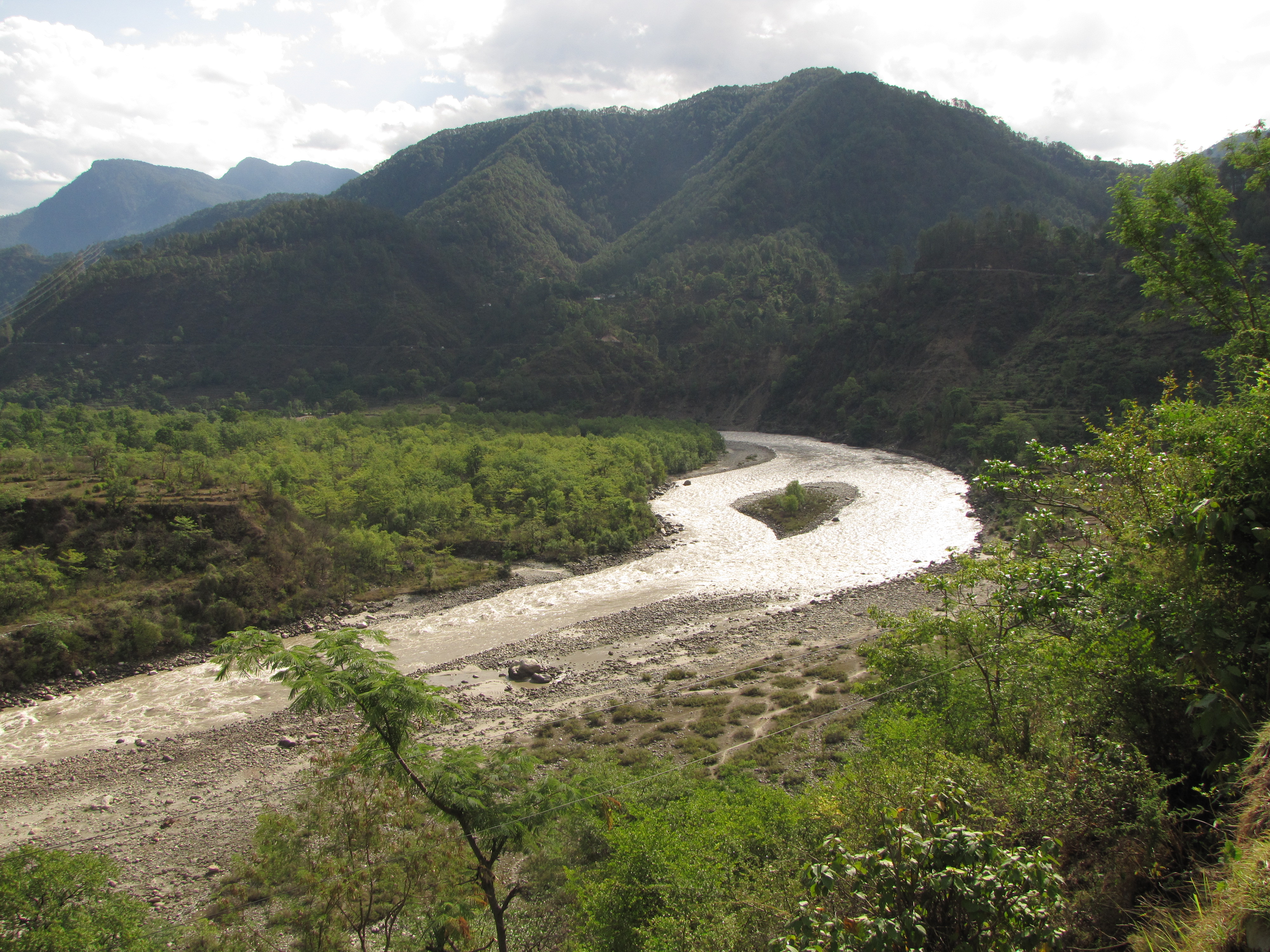
 the majestic alaknanda gorge
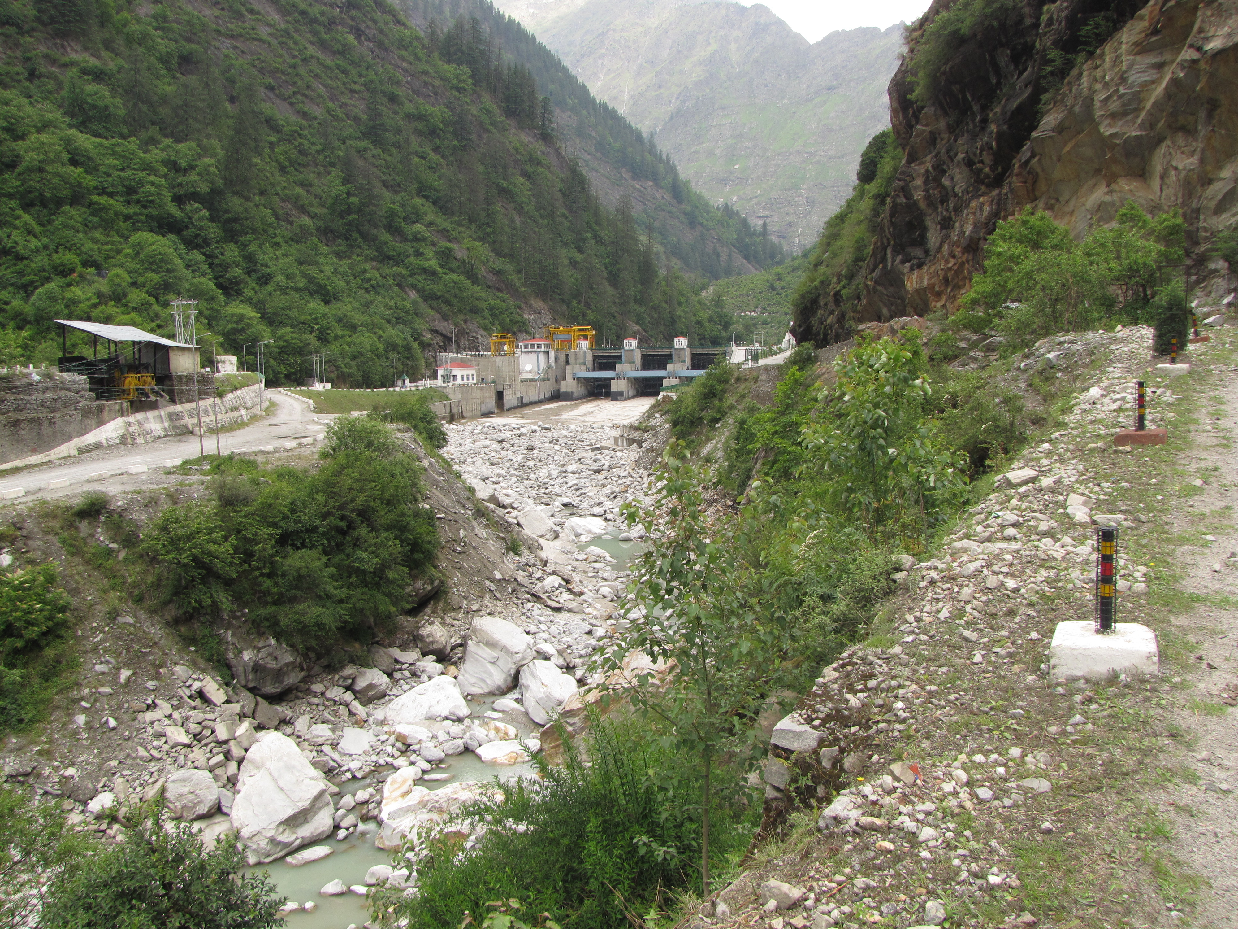
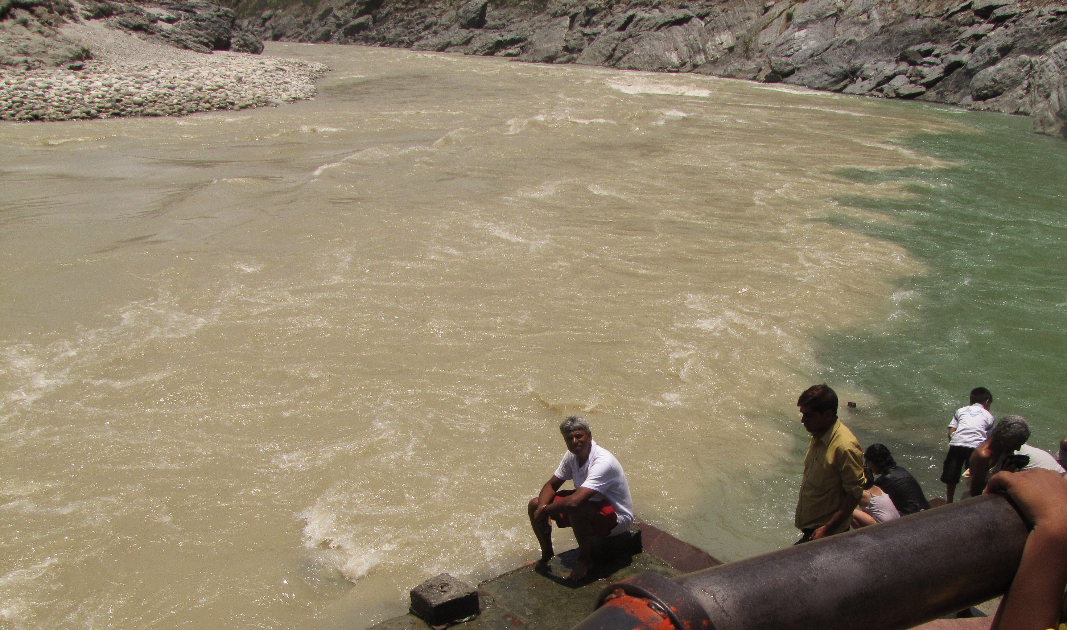
shortly after vishnuprayag, the alaknanda river becomes a thin stream. it used to be a powerful torrent; now the JP hydroelectric "run-of-the-river" power plant diverts the bulk of the water through subterranean tunnels and returns it to the river at a set of turbines 10km away on the other side of the mountain.
trying to fix the flat at truck-tire shop in gobindghat. he is amused to fix my bicycle tube. but it's a difficult patch, and he isn't sure it will hold. within a few kms, it is leaking again.
on the road with a punctured tire.
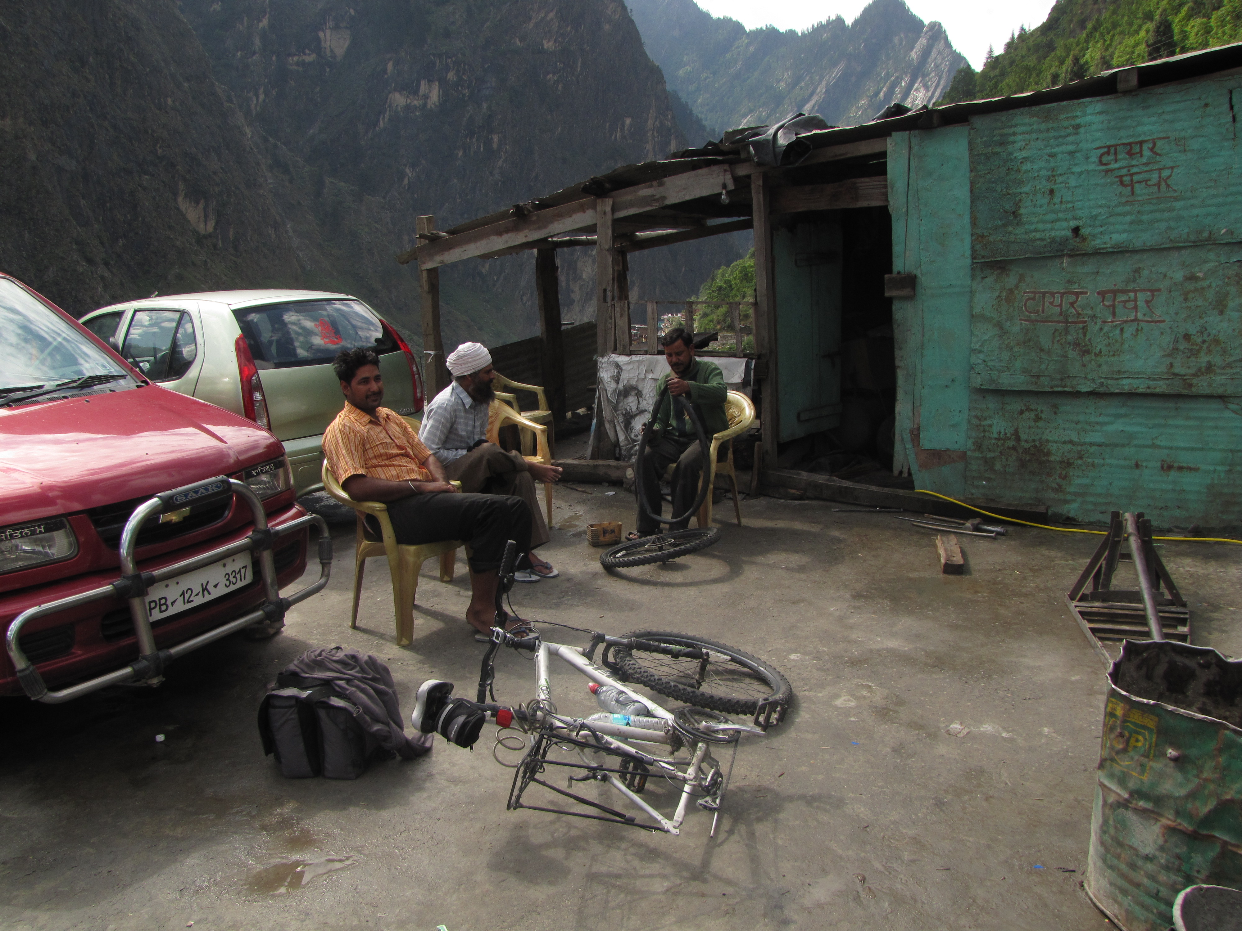

trying to fix the tube at gobindghat. the repairs didn't improve things that much; i still had to pump air every 5-10 km...
ancient temples at pandukeshwar
jaypee hydro
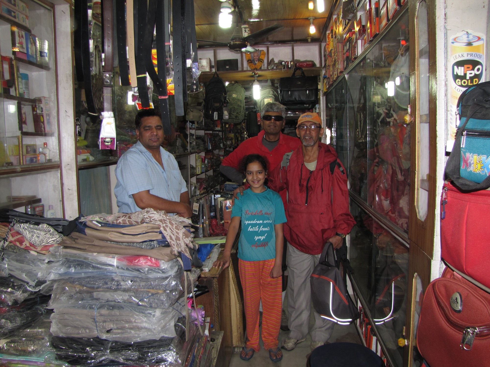
a little beyond pandukeshwar, the alaknanda seems to have very little water. the owner of a small shop where i stop to fill water points to the large exposed boulders, saying that this used to be a raging torrent earlier. a number of cars, motorcycles and suv's are overtaking me as i struggle up the slope. it is 11 AM when i stop to pump up air at the gates of the jaypee hydro at lambagarh. as i am proceeding up past the main gate, a sentry comes up and tells me that the "saab" (big boss) has asked him to stop me and have me come in. i tell him that i am in a hurry, but he says that no, no, saab has invited me... well, i too am a bit curious about the hydro setup, so i stop (though i have just pumped up the tire). it turns out that the managing director of jaypee hydro, lt. gen. ravi chadha, was on a visit to the headworks here when he overtook me on the road, and decided to invite me. he and the plant manager sivapriya are surprised to find that i am an indian indian, and also that i am from iit kanpur.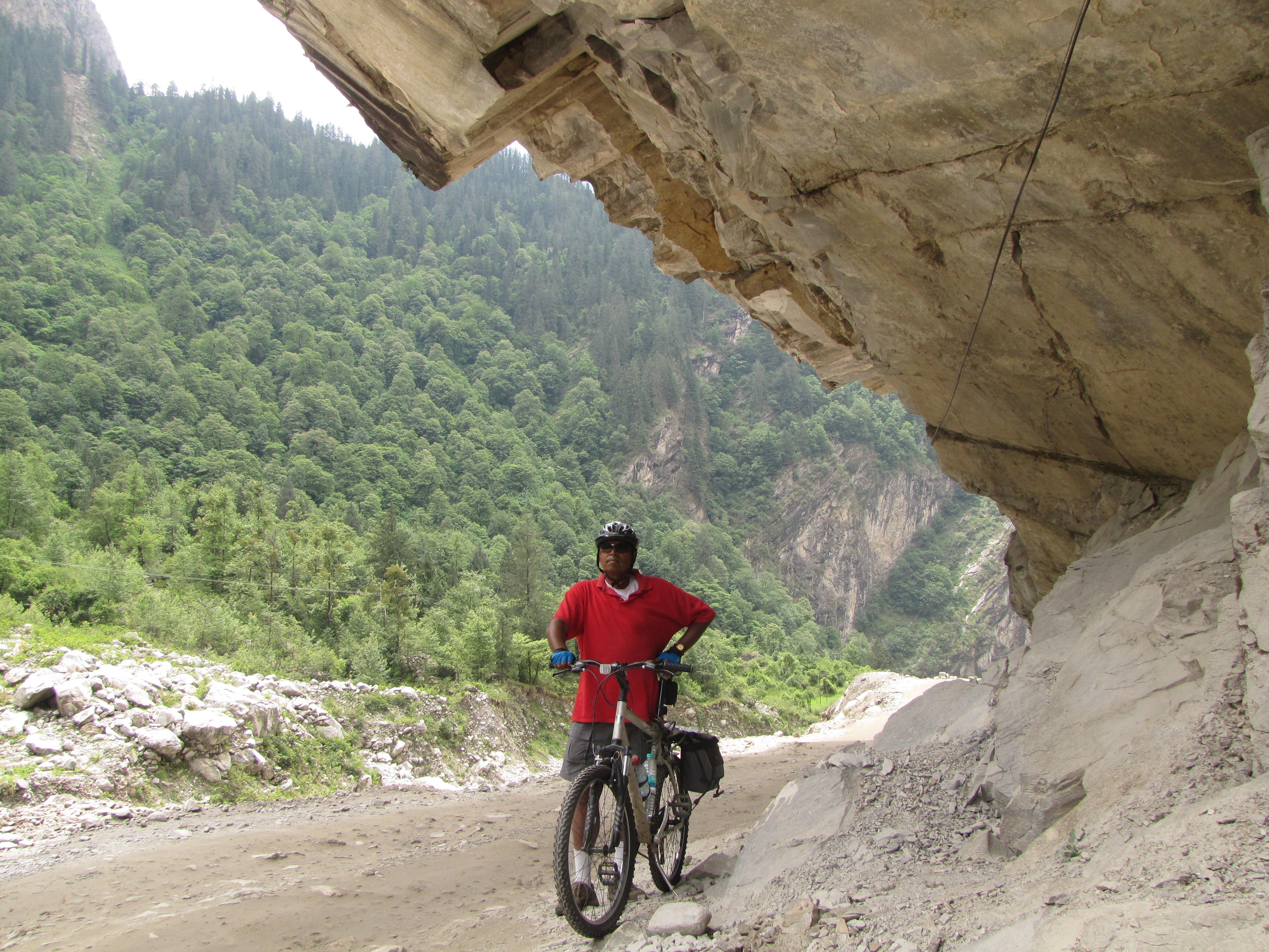
the frequency of photo ops is directly proportional to the steepness of the climb. here i am, under a sharp outcrop.
at the outlet from the jp hydroelectric station (visible at center), the river bed is almost completely dry.
bumpy-trailers law of mountain photography:
the frequency of
photo ops is directly proportional to the steepness of the climb.

the village of hanuman chatti from above.
4km before badrinath.
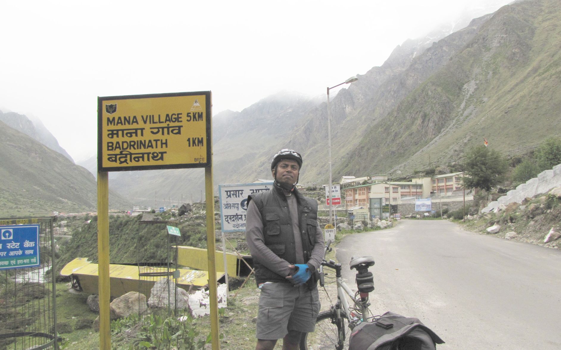
yippee!! just a kilometer to go...
badrinath
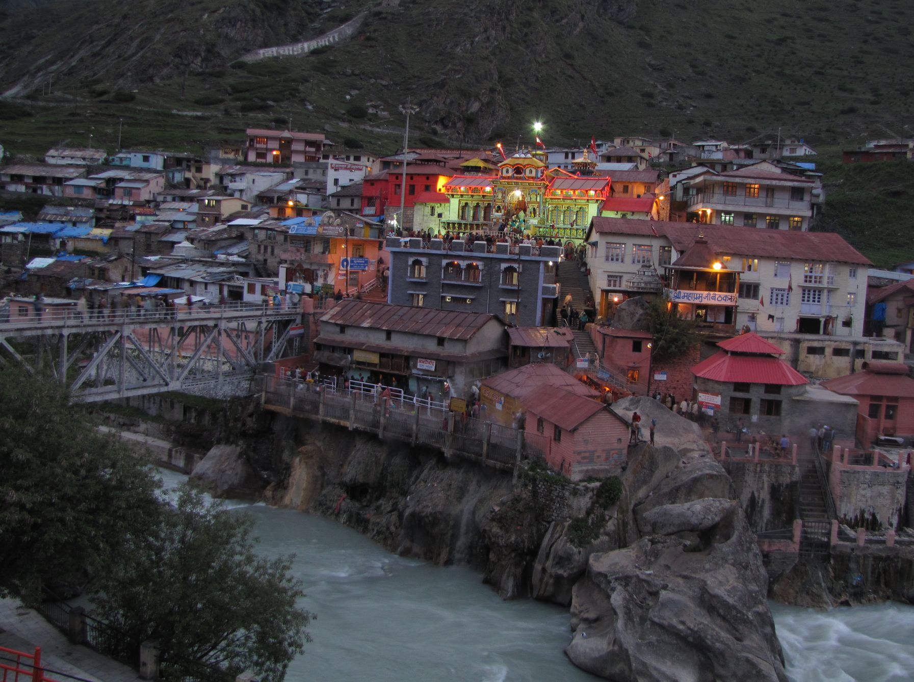
the badrinath temple is beatiful at night.
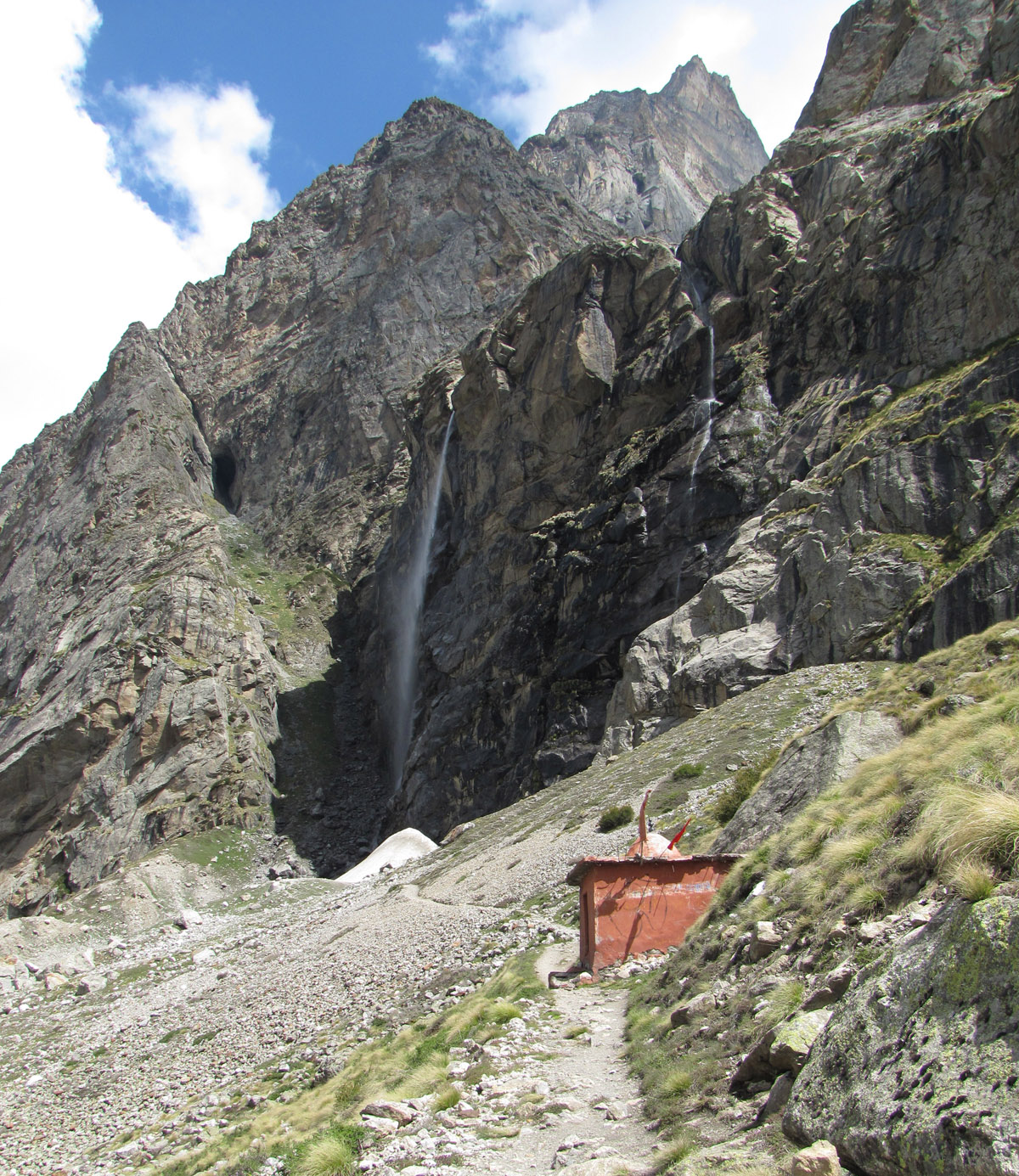
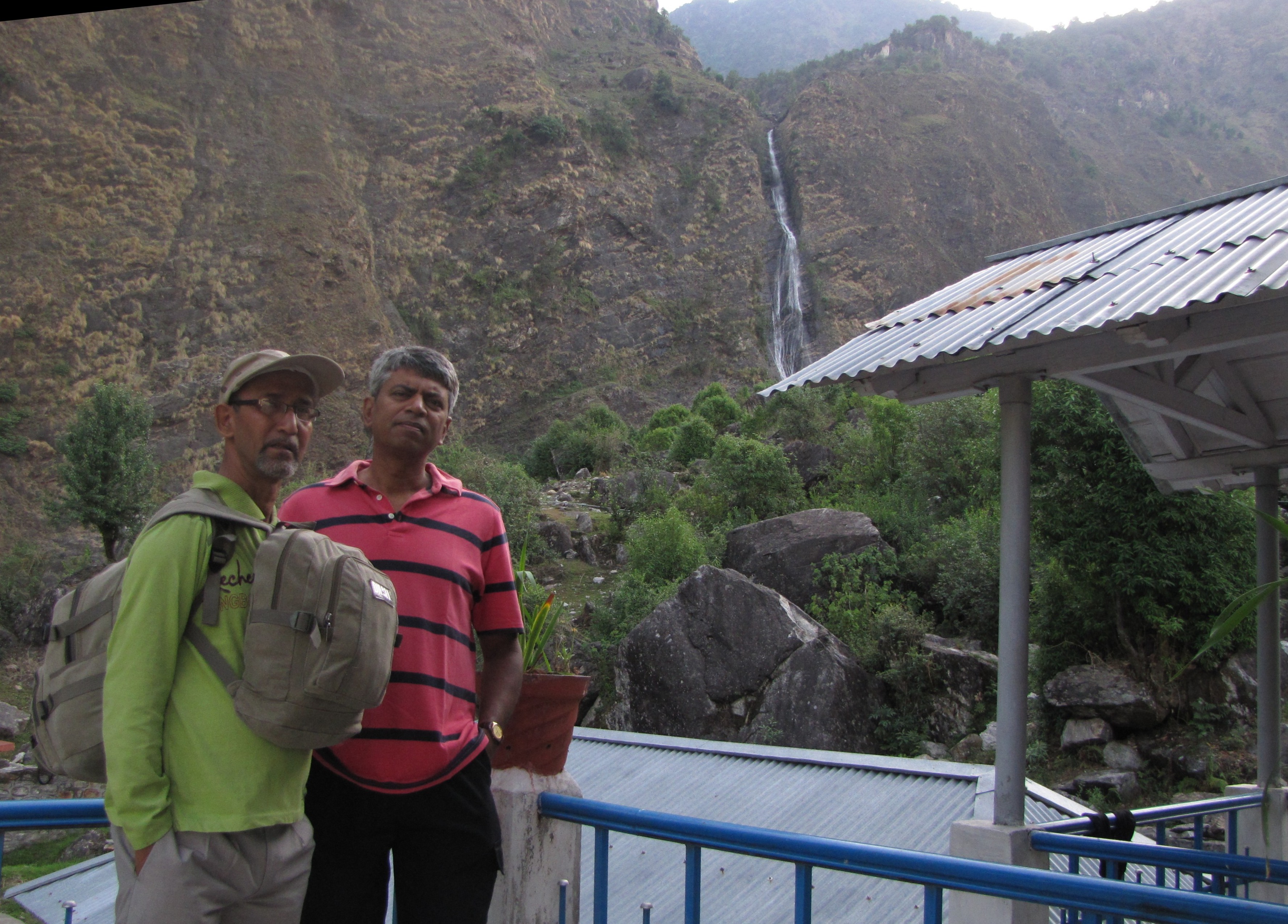
the thin stream of vasudhara falls, an 8km hike from mana
the bhim-pool with the mana river thundering down.
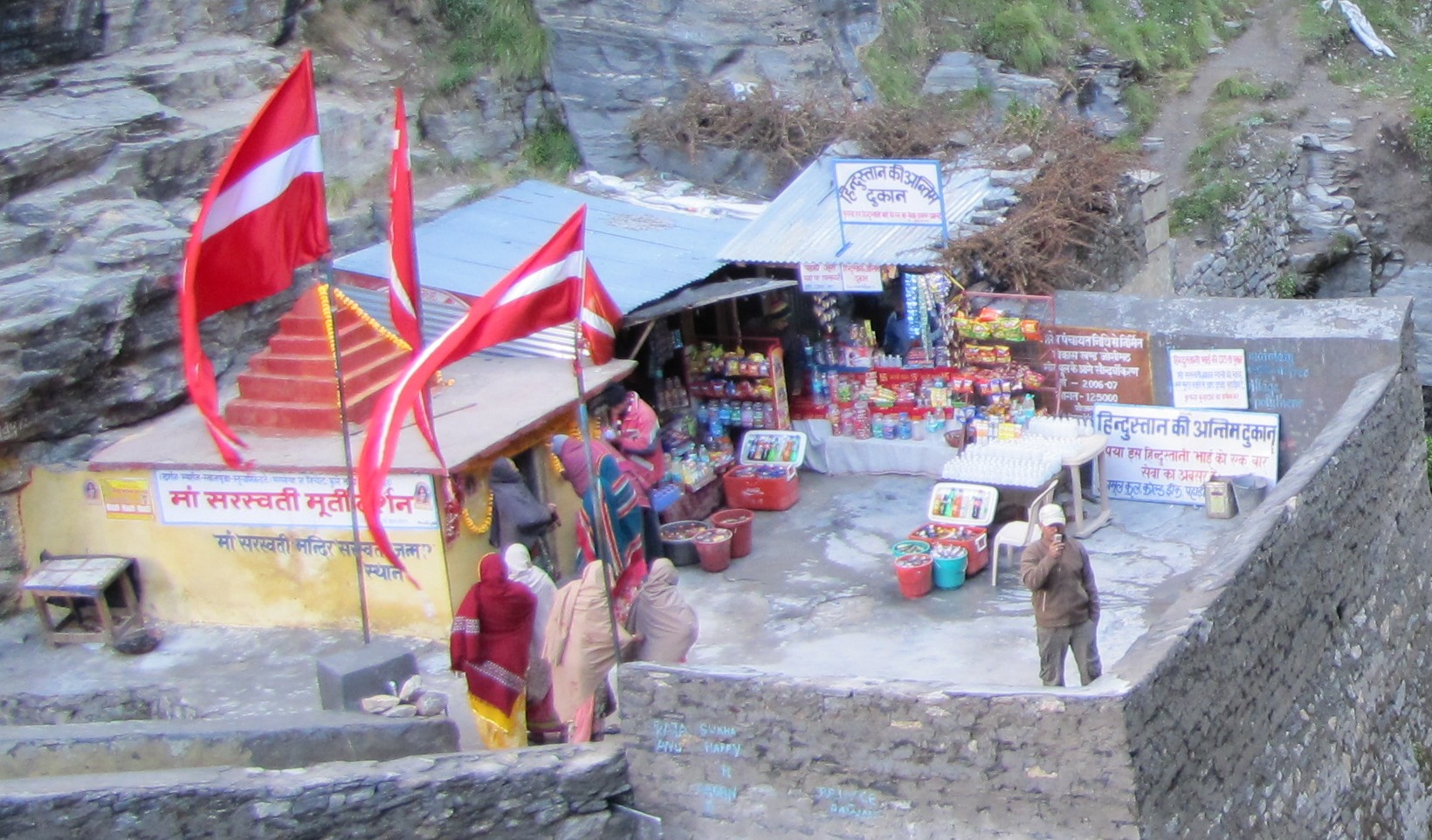
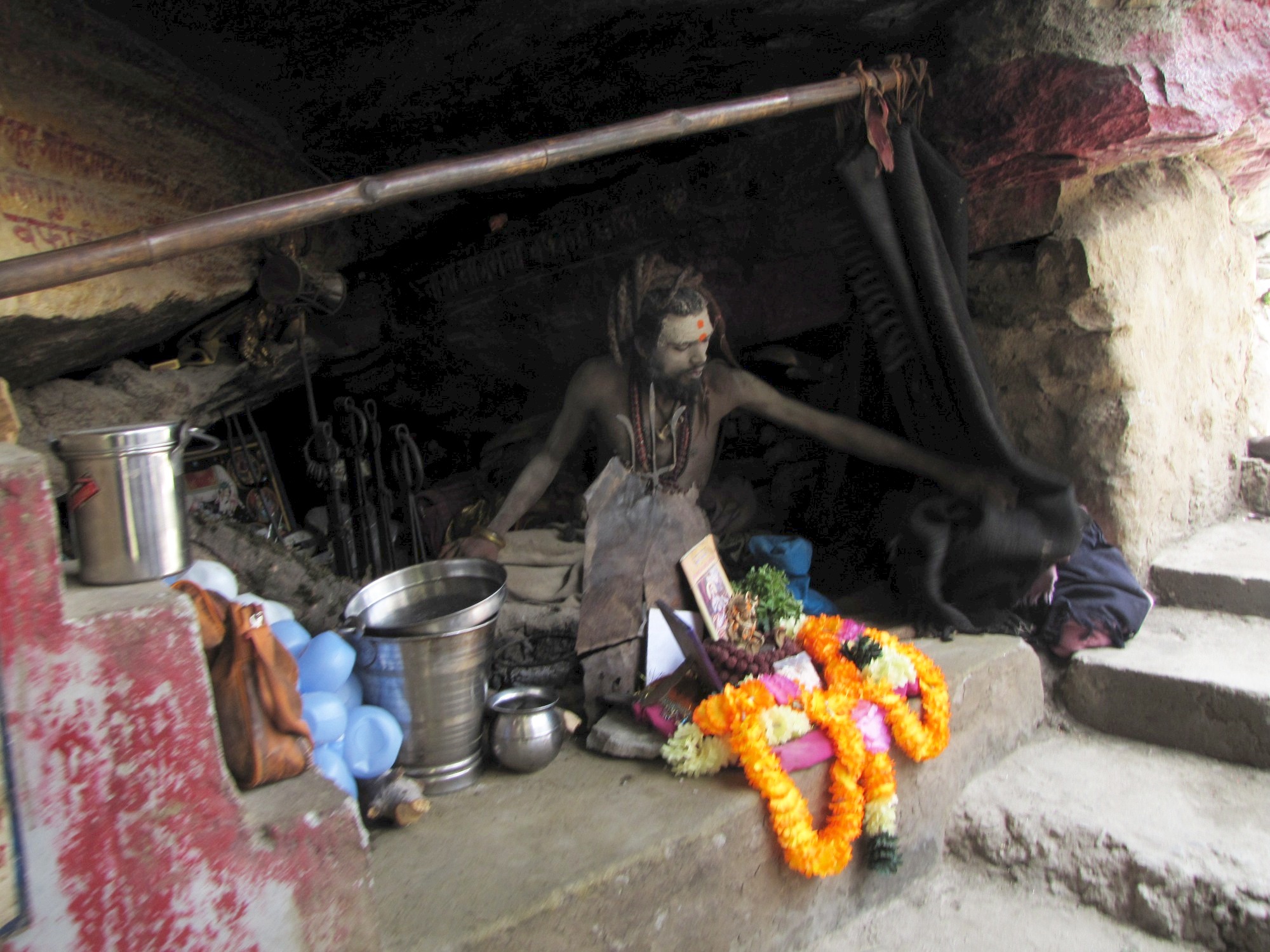
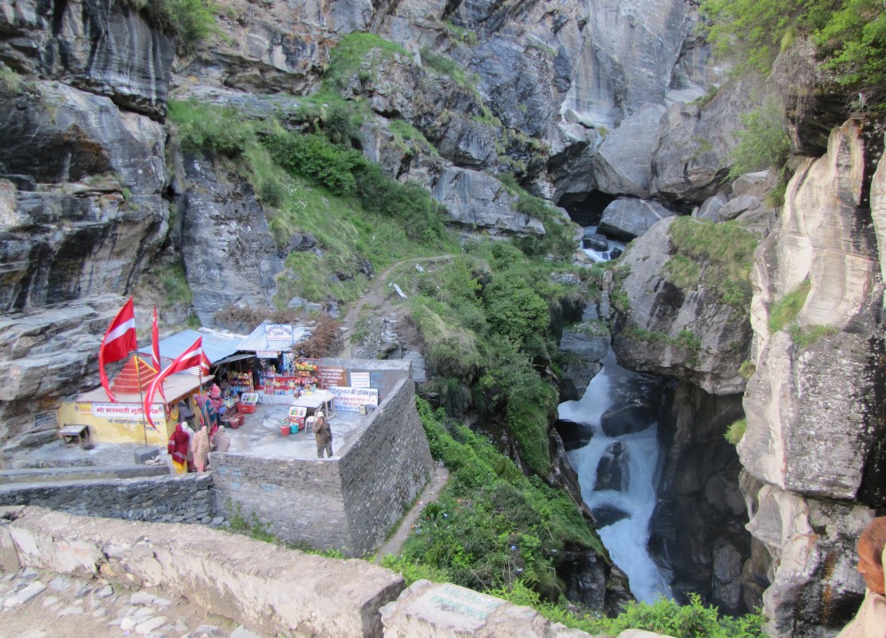
"last shop in hindustan", says the sign. a sannyasi covered in "bhashm" or ashes.
the mana river. jhuntumama near bhim-pool, mana.
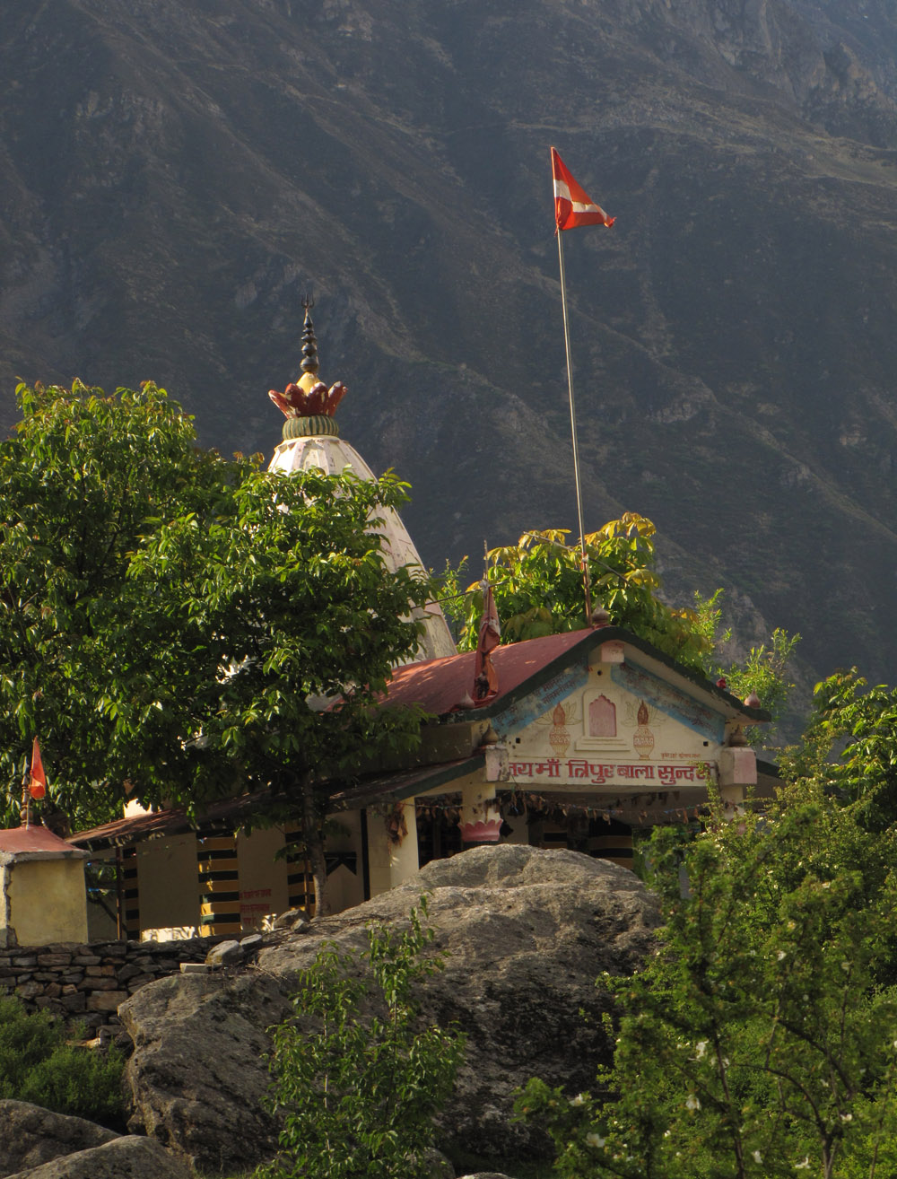
the tripurbala sundari temple, about 1km from mana. this beautiful temple occupies a rocky crag on an isolated hill overlooking the alaknanda gorge
i am not sure what this bird might be.
posing for a self-timer photo enroute to vasudhara falls. path to vasudhara falls. snow peaks above mana.
probably a flycatcher?
another unknown bird. seems like a yellow vent.
behind me is the "vasudha-baba" hut, where the famous vasudhara baba used to live. today i meet a group of three sannyasis living here.

two monks on their way to vasudhara.
a huge chunk of rock has fallen off from a great height on this rock face.
flowers of mana-badrinath
the high-altitude areas around here are famous for its flowers - particularly the valley of flowers near hemkund, and also parts of the badrinath-gangotri trek that goes north of here. some of the flowers encountered today...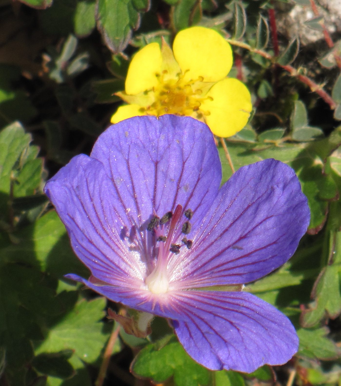
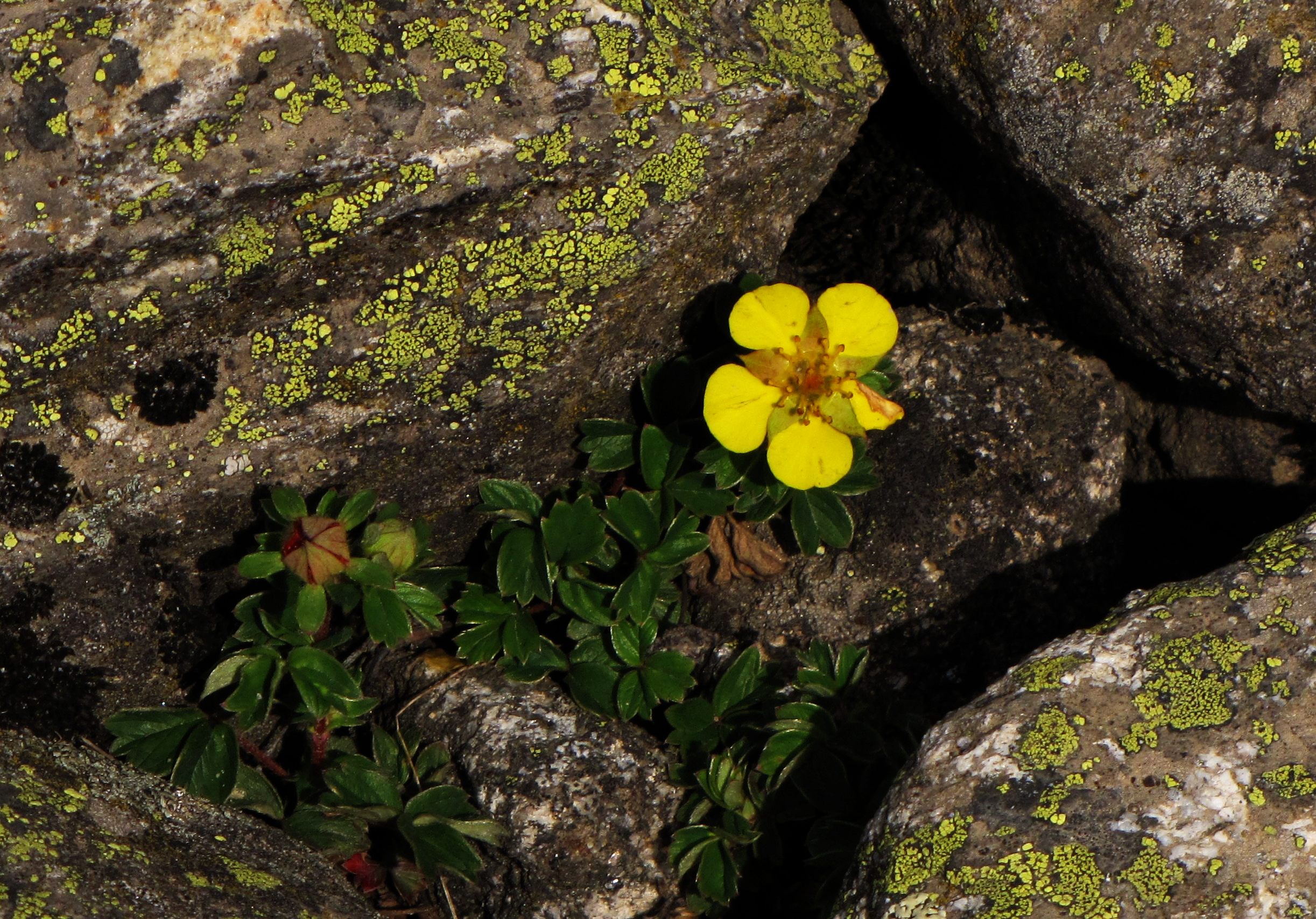
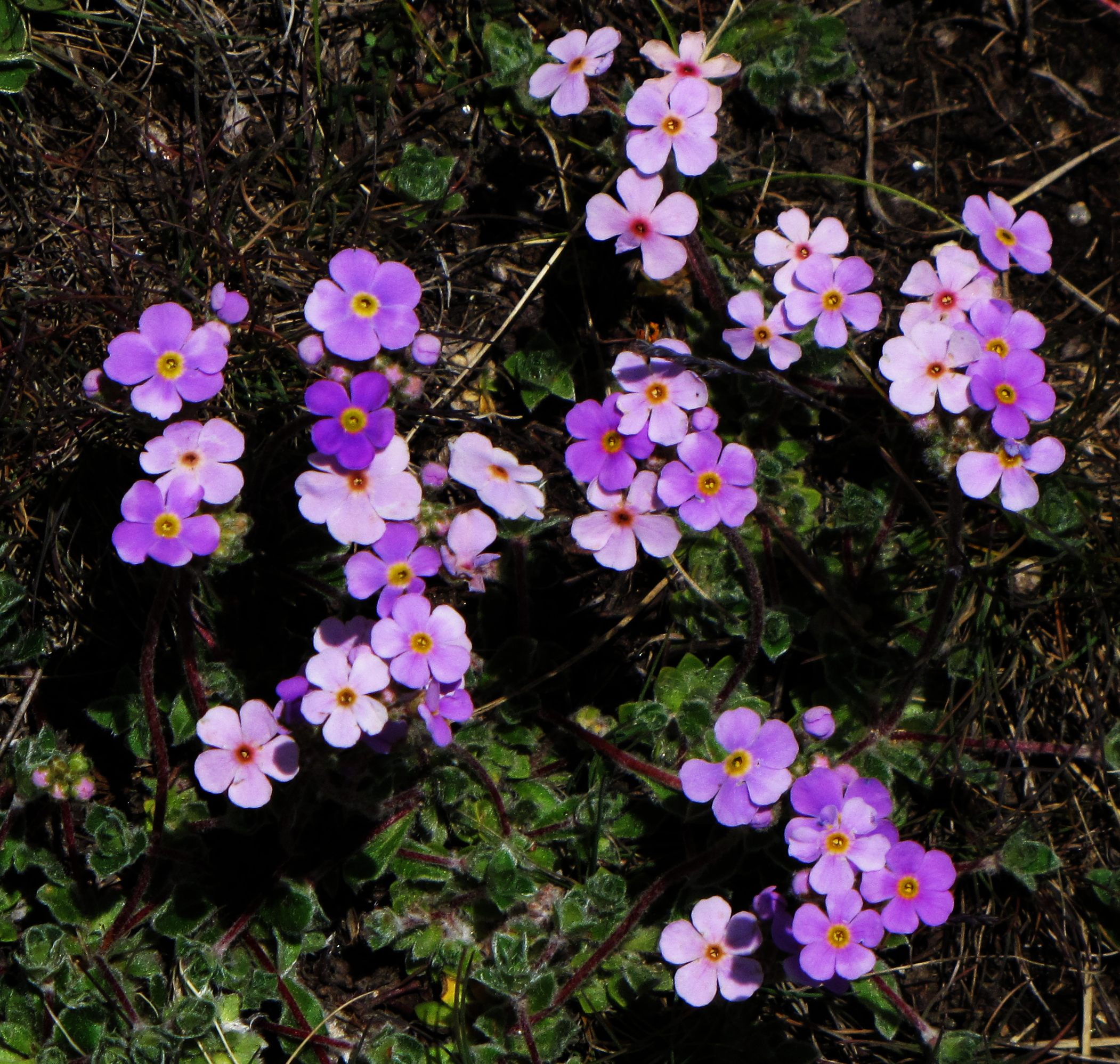


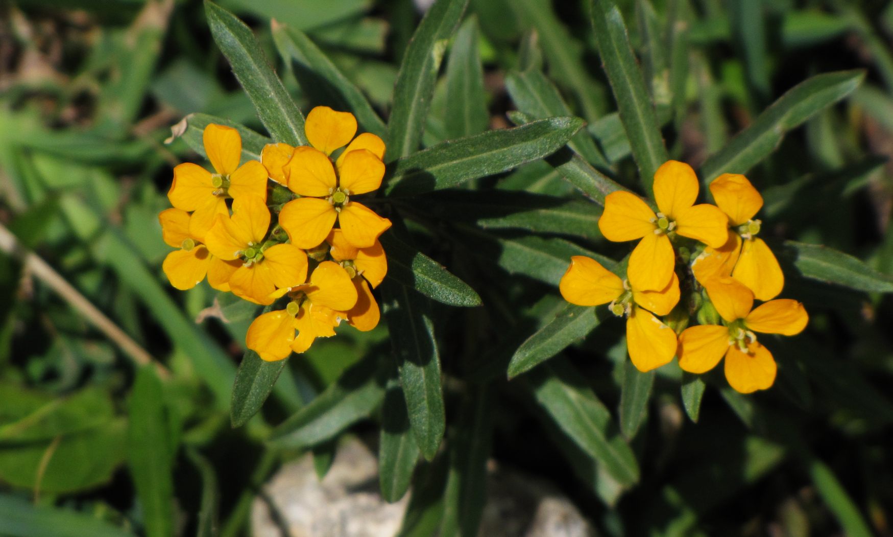
some of the flowers from along the vasudhara hike path
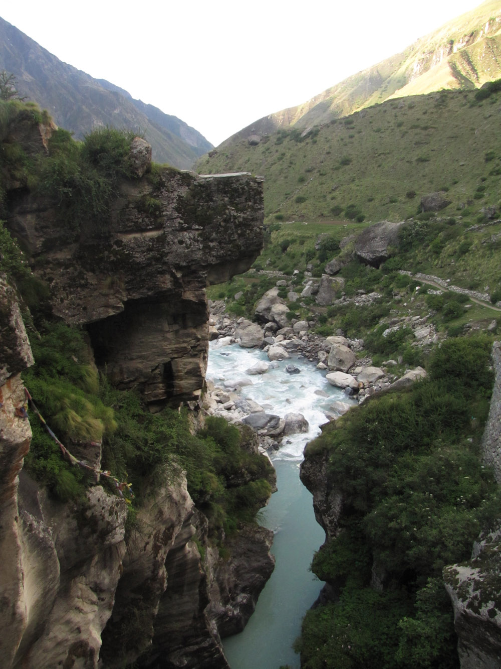
mana and beyond: mana river gorge
the next morning i pumped up the flat tire and rode up to mana (to complete the ride). we had lunch with a bhotia family - the husband, mr pushkar kala, i had met after the hike yesterday.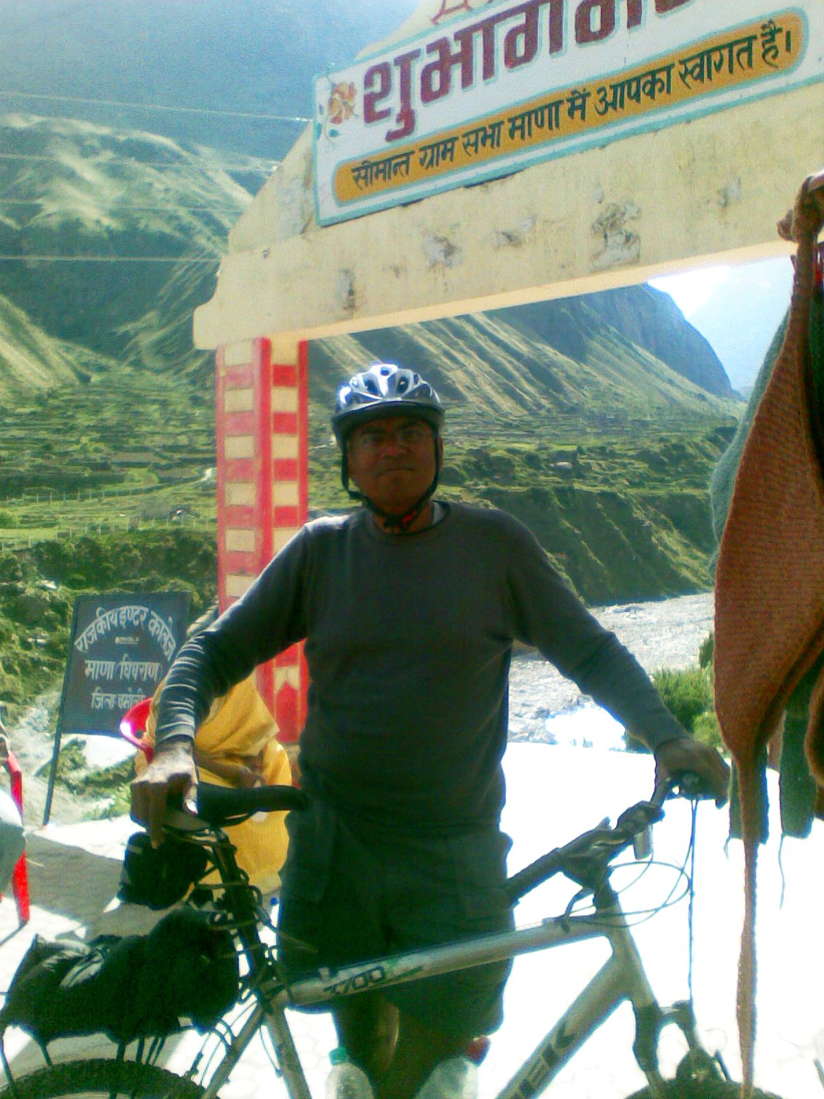

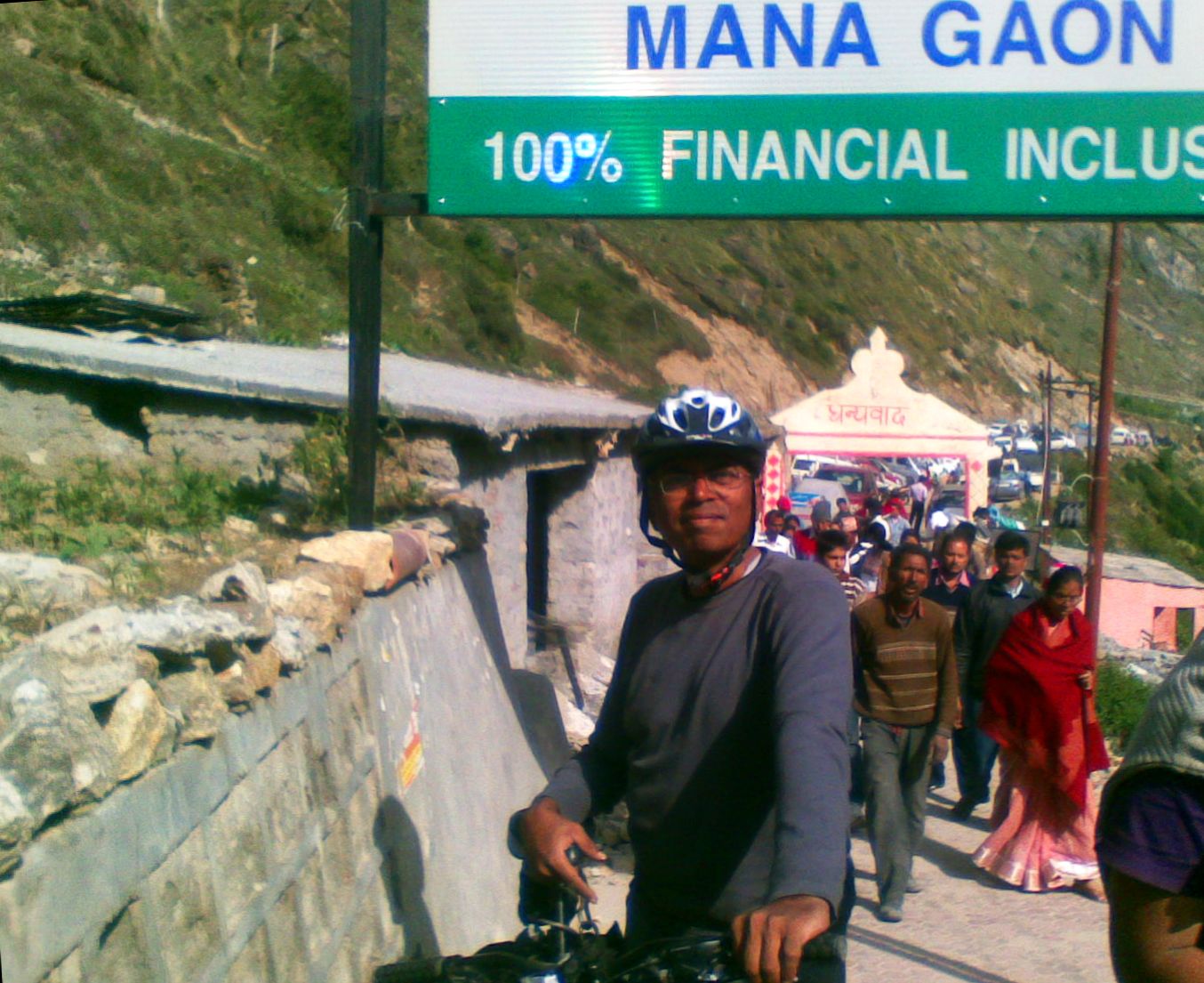
i am at mana. lunch with the bhotia family.
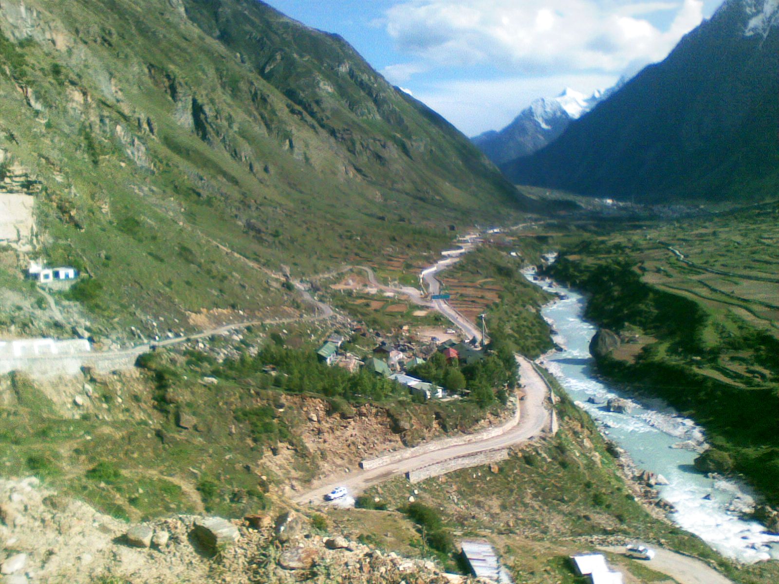
road above mana. the main mana-badrinath road going straight, with the alaknanda gorge to the right. you can see the junction with the barrier, and the road climbing up to the left.

have wheels, can go. at the mana gorge bridge. the spectacular waterfall.
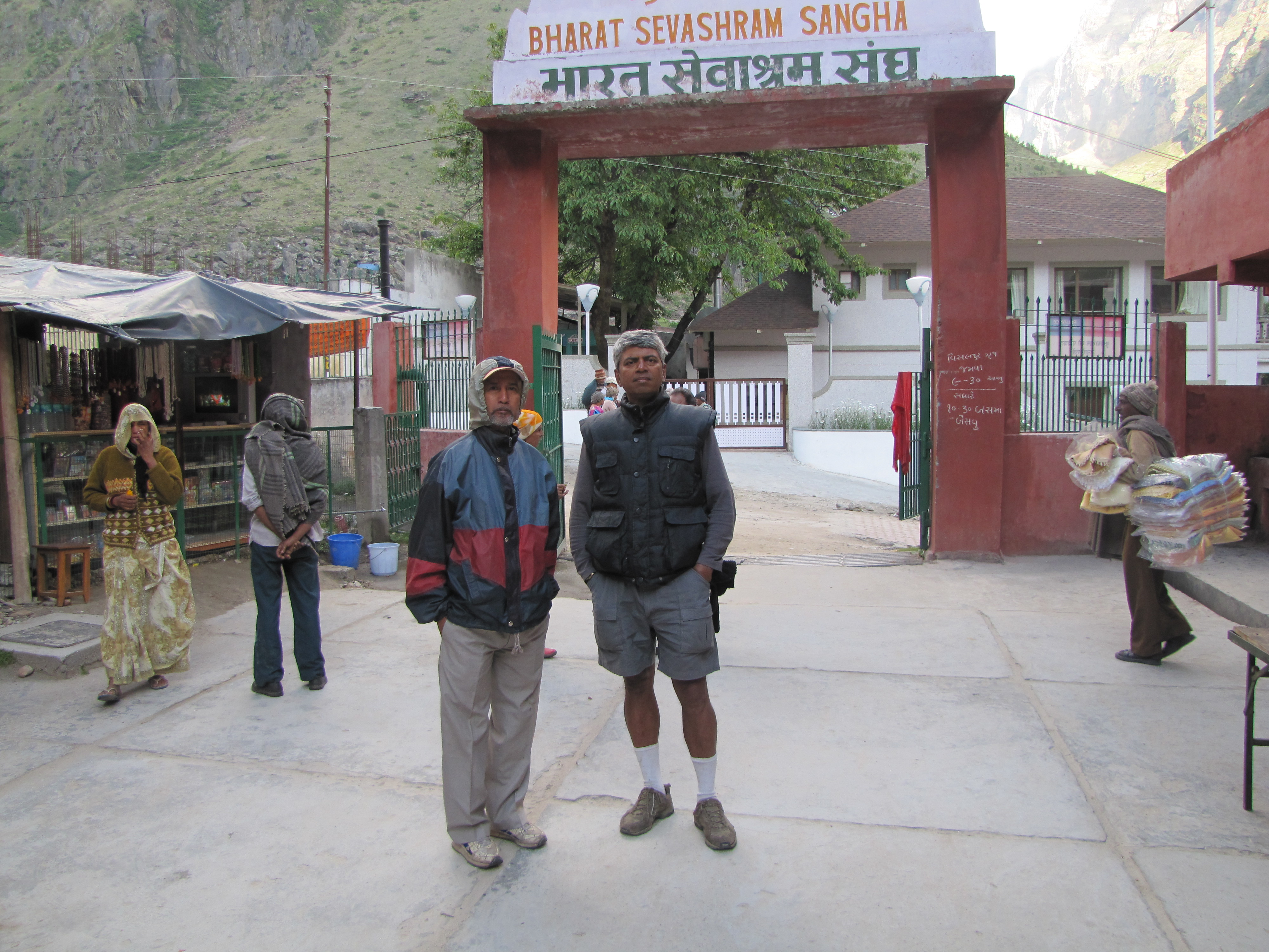
at the bharat sevashram sangha, badrinath
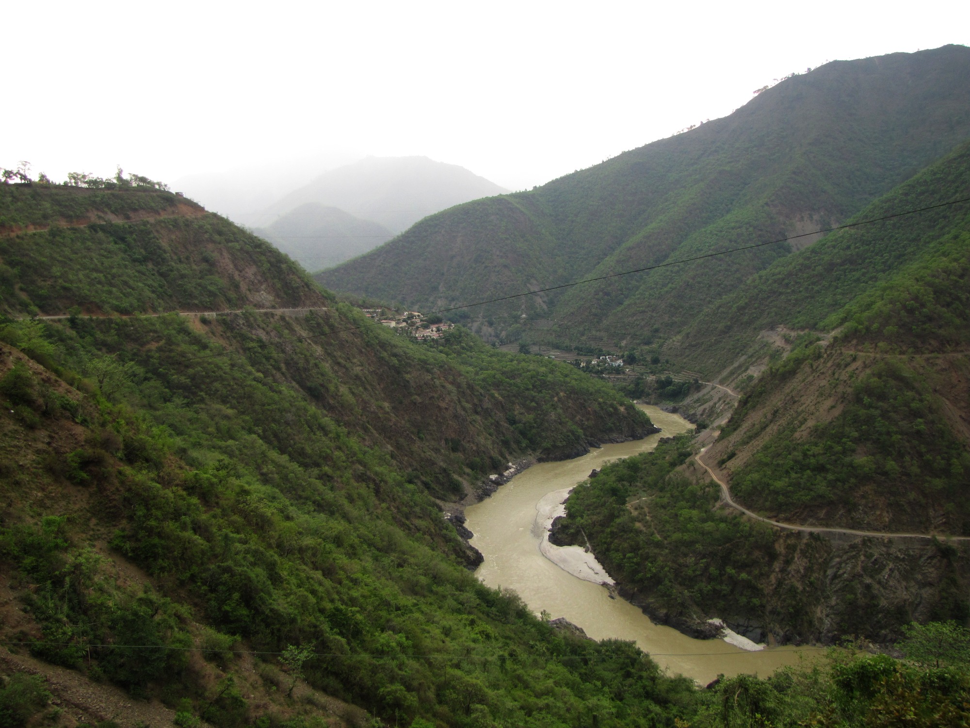
rudraprayag - devprayag - byasi (rishikesh) 108km
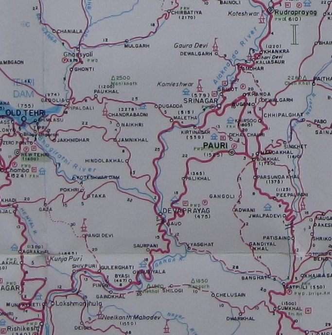
cycling route map: rudraprayag to srinagar to devprayag to kaudiyala to byasi (29km from rishikesh) (jun 13)
fixing the tube
we reach rudraprayag in the early afternoon and i am immediately off to a cycle repair shop. his careful attempt to fix the puncture also fails, but fortunately he has a rickshaw tube which fits my tire, so i am all set to go again (except now my mini-pump doesn't fit this valve).
another attempt to fix the puncture, using a heated patch. even this failed.
along the alaknanda four km down from rudraprayag.
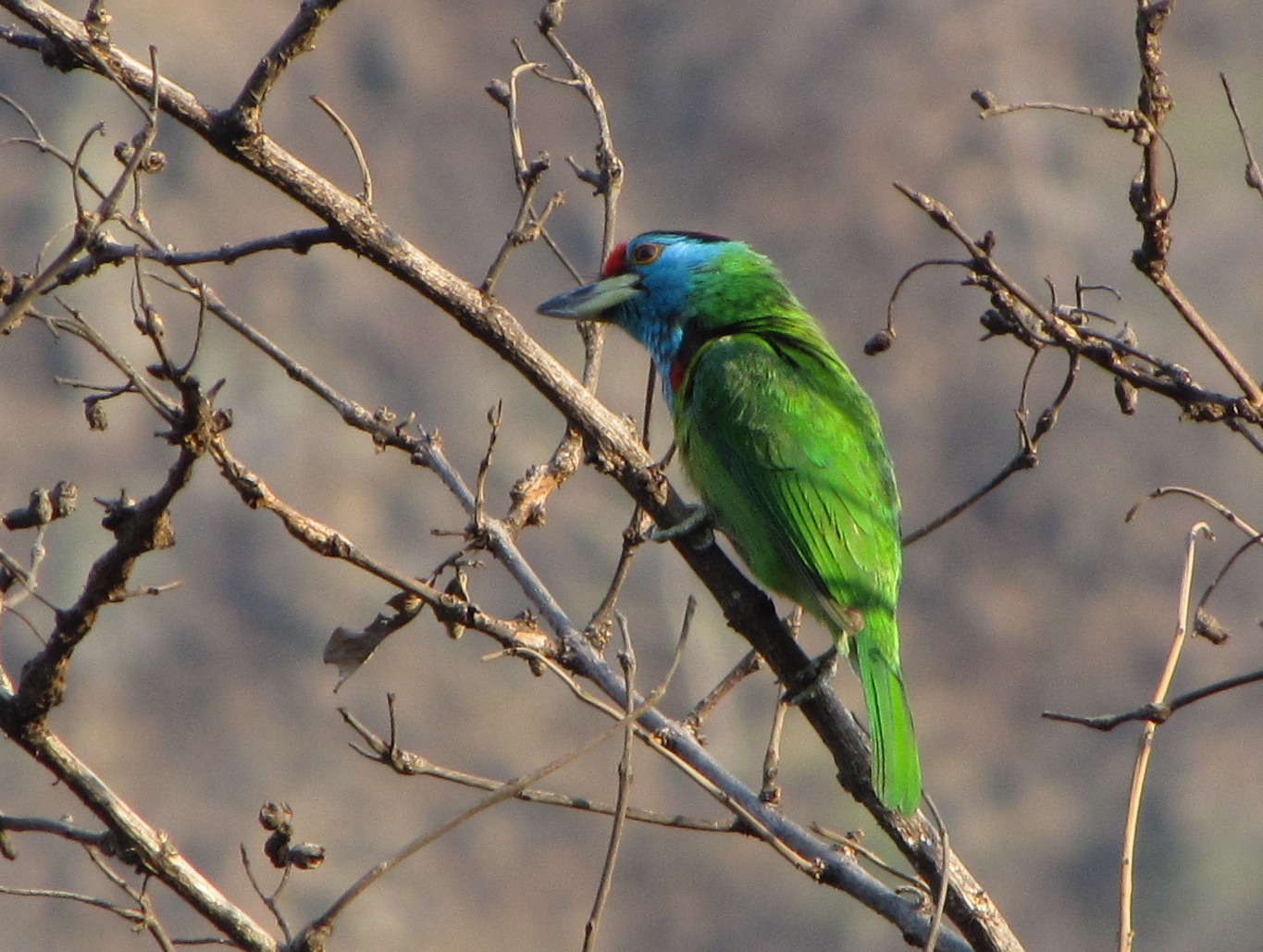
Blue-throated barbet Megalaima asiatica, near khankra. my first sighting.
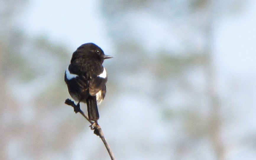
this pied bird i couldn't identify has a red bib down its breast. (may be two different species)
hemkunt bicyclist. saw three groups of such bicyclists.
white breasted kingfisher, near srinagar. plum-headed parakeet, female.
tents along the alaknanda gorge - probably a rafter's enclave - just before devprayag

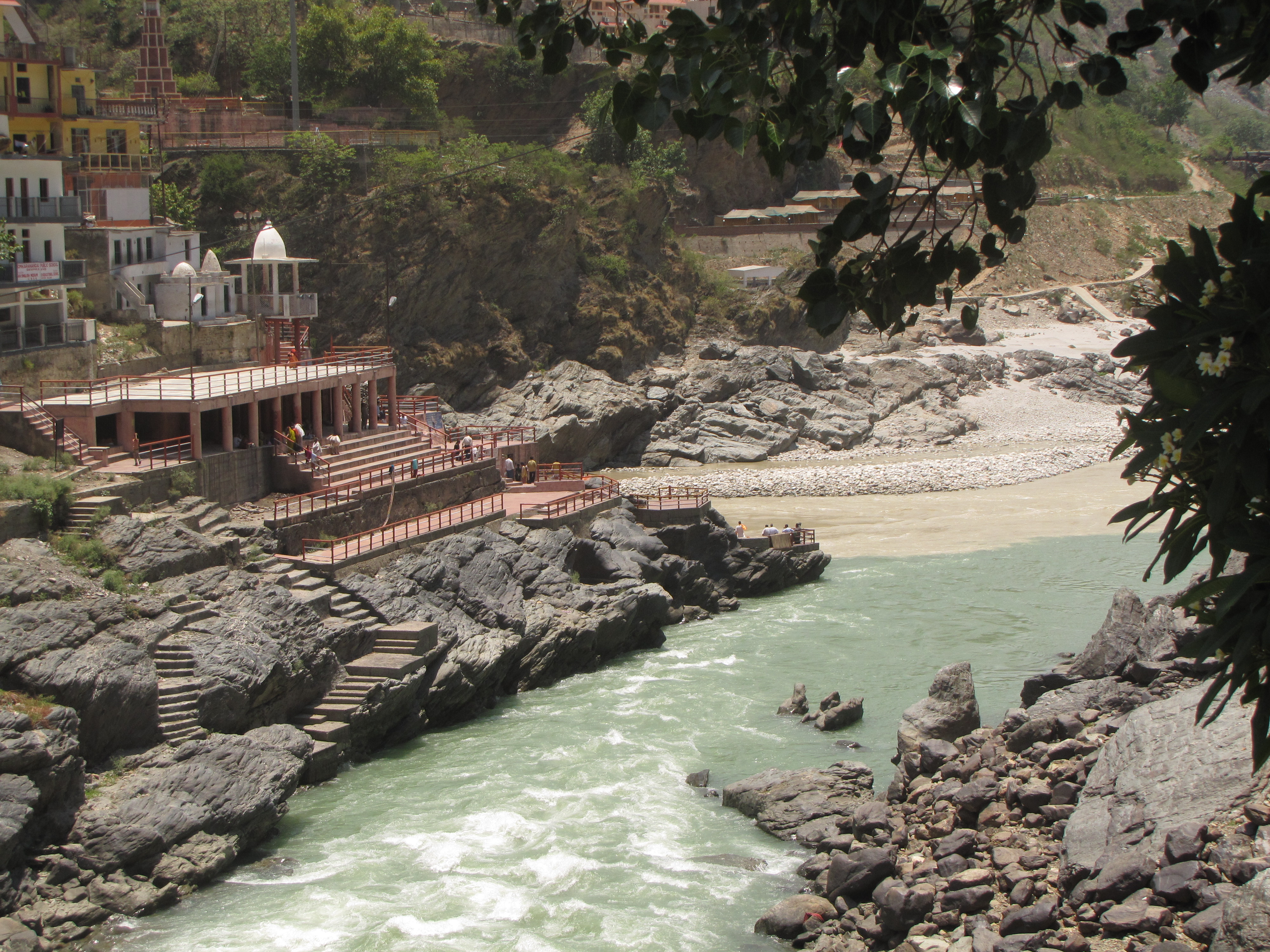
devprayag. looking to the confluence from the bridge on the highway.
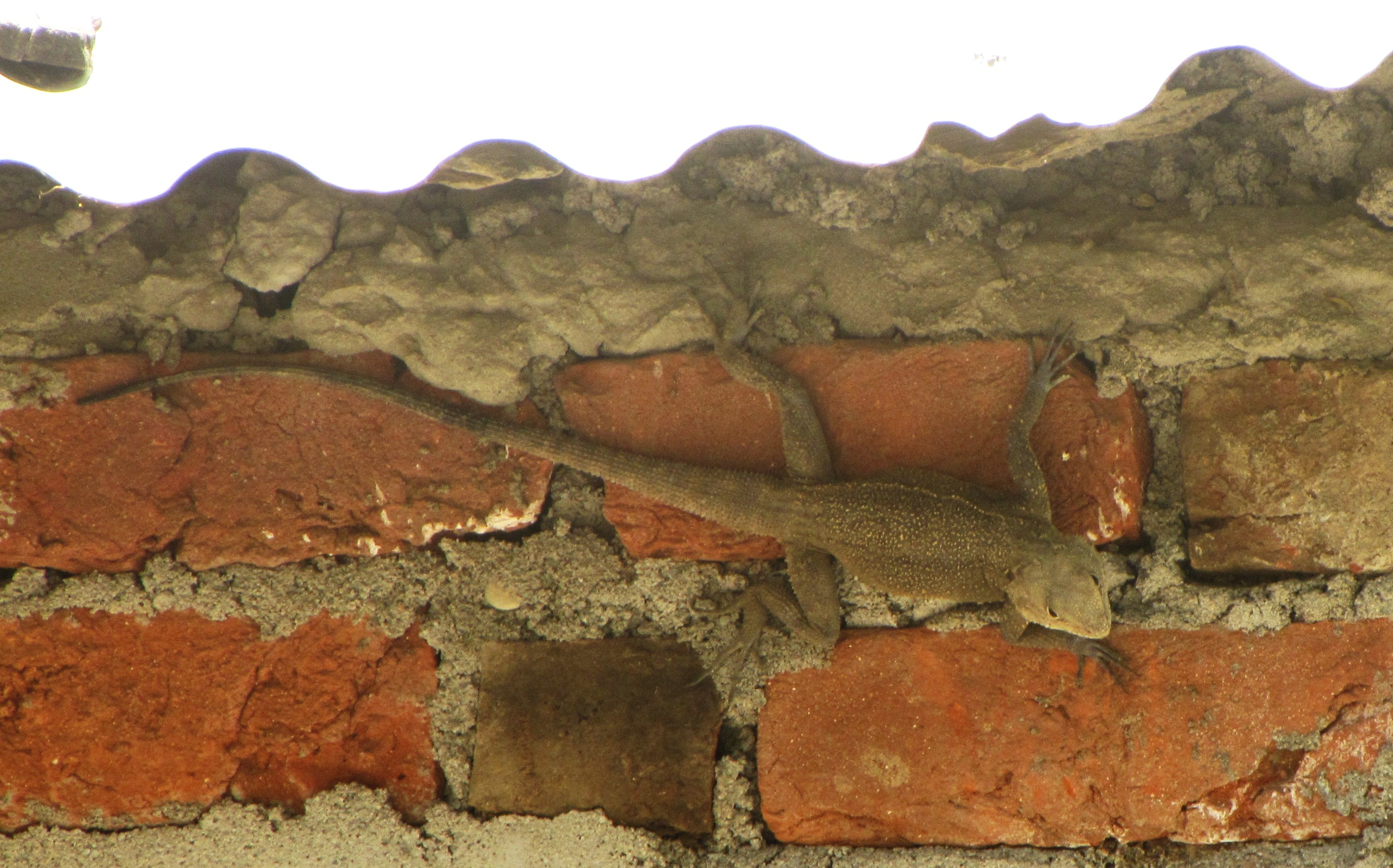
a long lizard under the roof eaves
dipping my feet at devprayag. the darker colour of bhagirathi waters can be seen to the right.
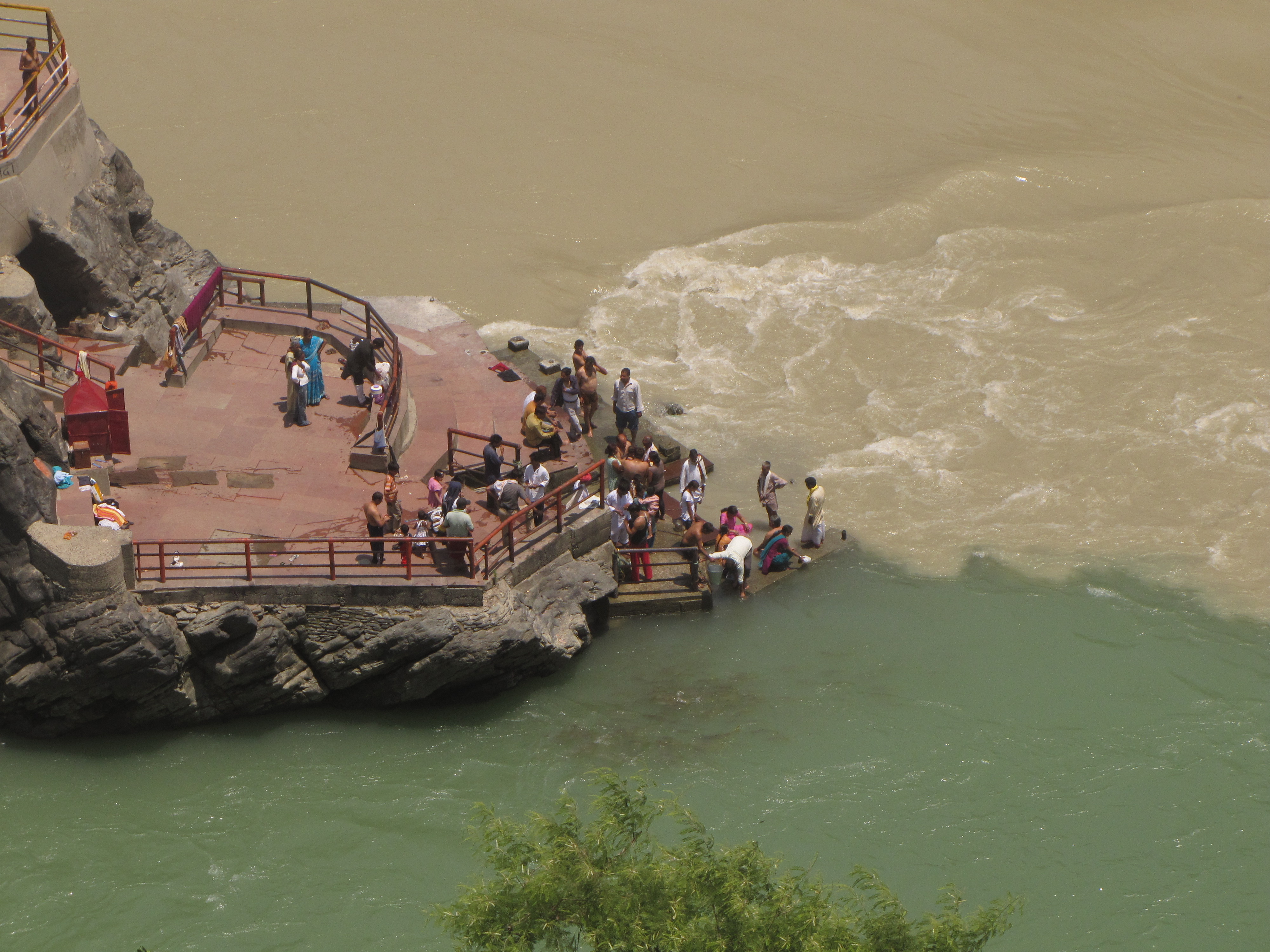
footbridge across the bhagirathi. the confluence - alaknanda is to the top, and bhagirathi (darker) joins it from the right (bottom).
from the road above devprayag (towards rishikesh)
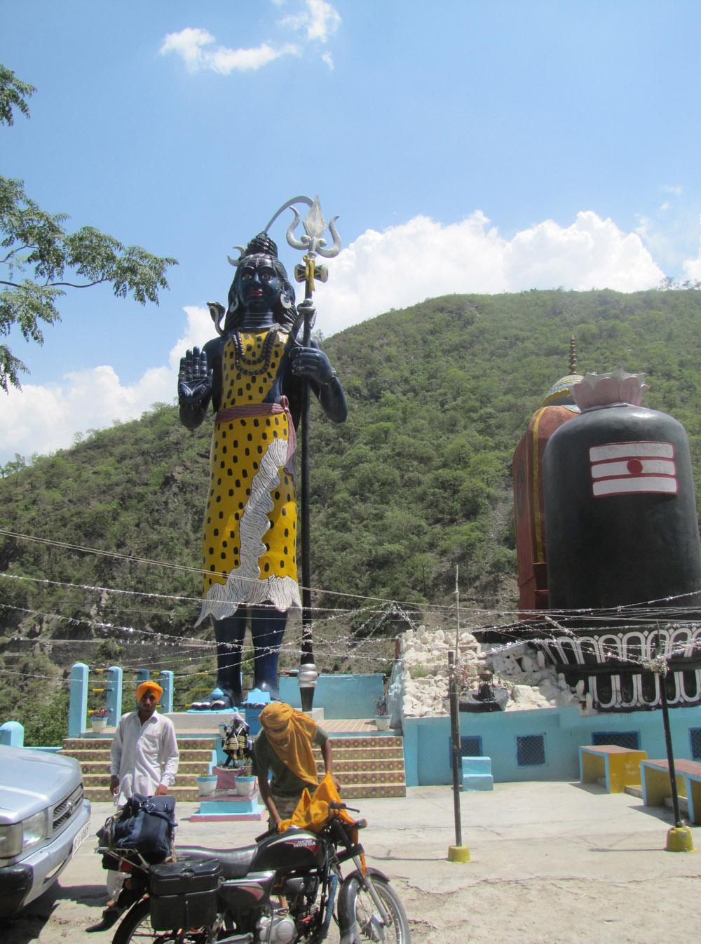
th giant shiva statue at shiv sthal. the rest room inside.
sheltering behind upturned tables against the wind and rain. cars waiting for the blizzard to abate.
the rainwashed alaknanda landscape
portraits taken by a goatherd, mangal, from the village of vachali-khAl
rishikesh
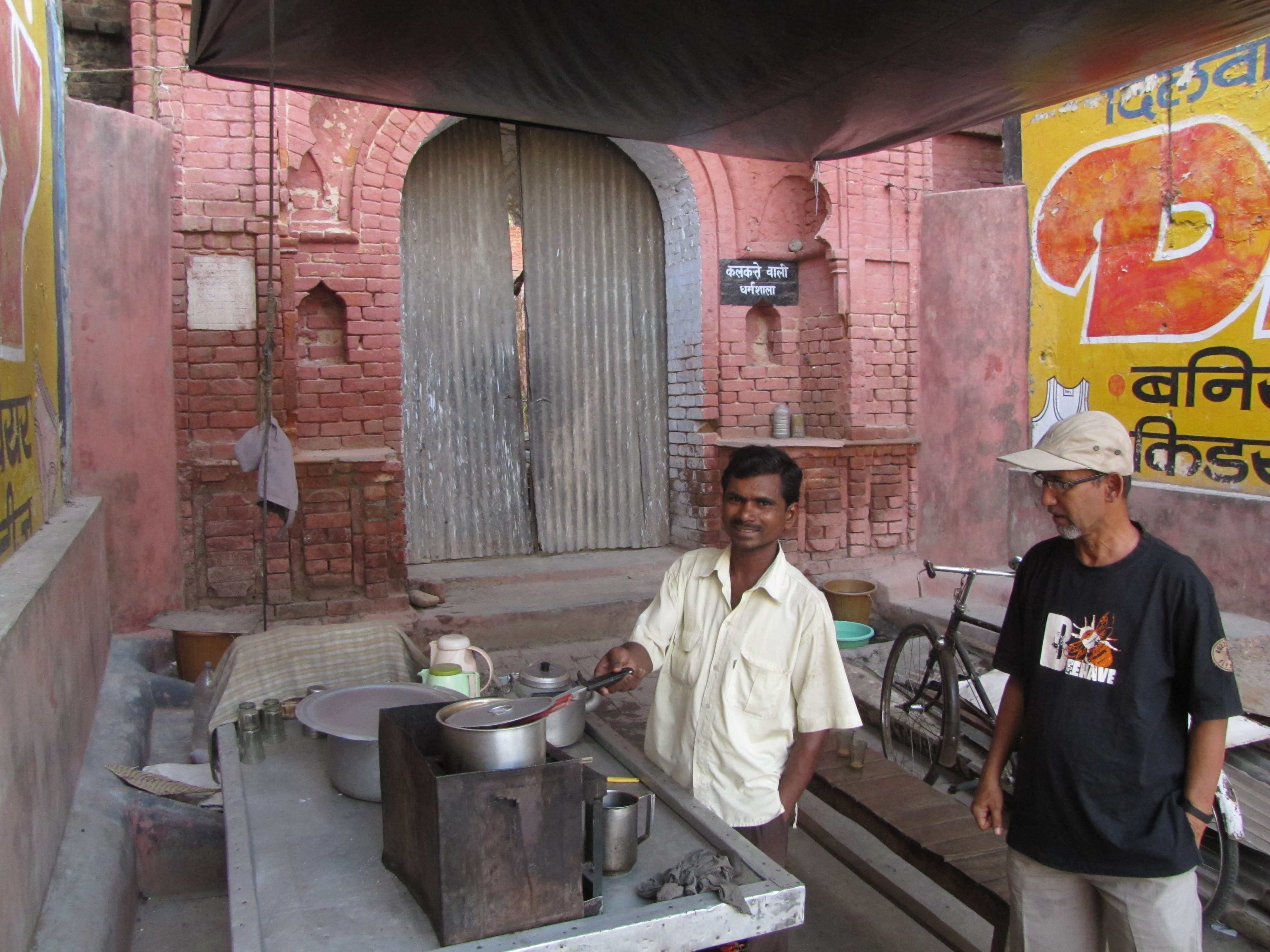
we stopped for tea at this vendor who is running his business from the porch of the closed "kolkata wali dharamshala". he has been here for a dozen years; the dharamshala property is disputed and has been closed for decades.
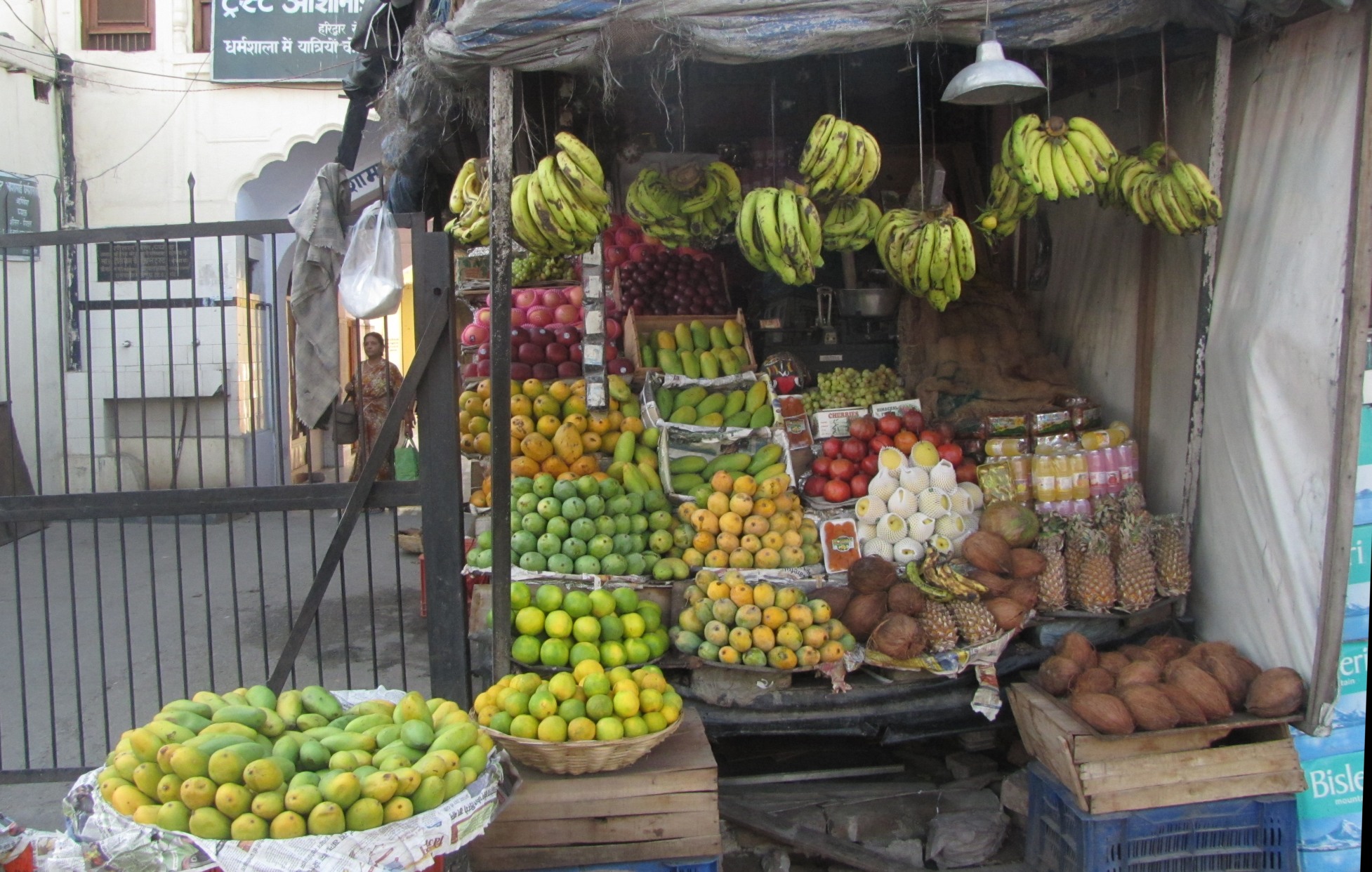
a fruit stall with eight varieties of mango
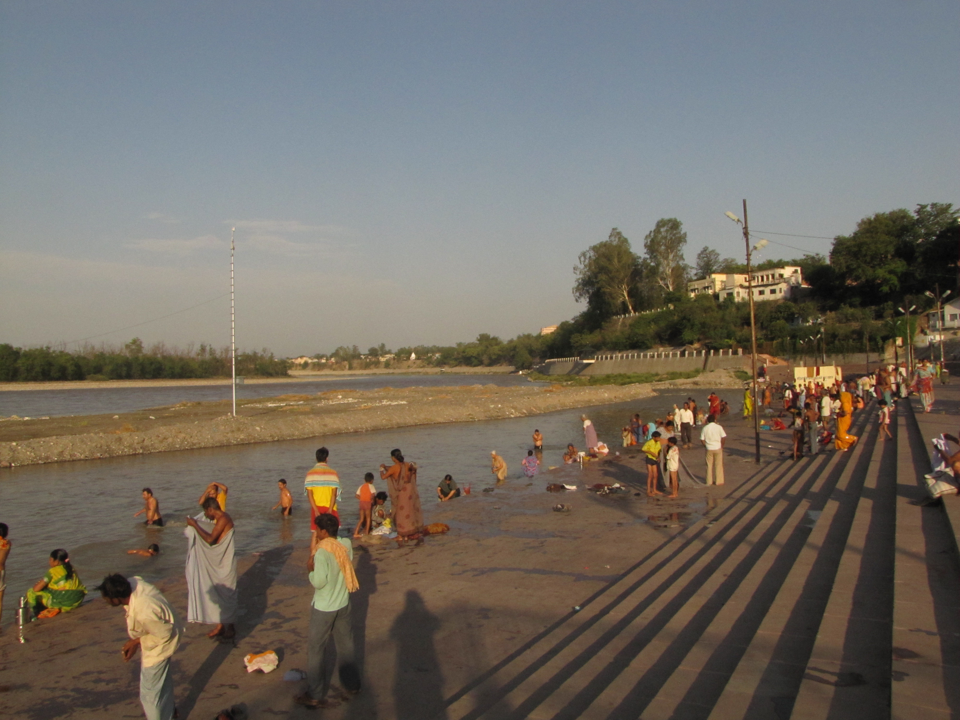
at the triveni ghat.
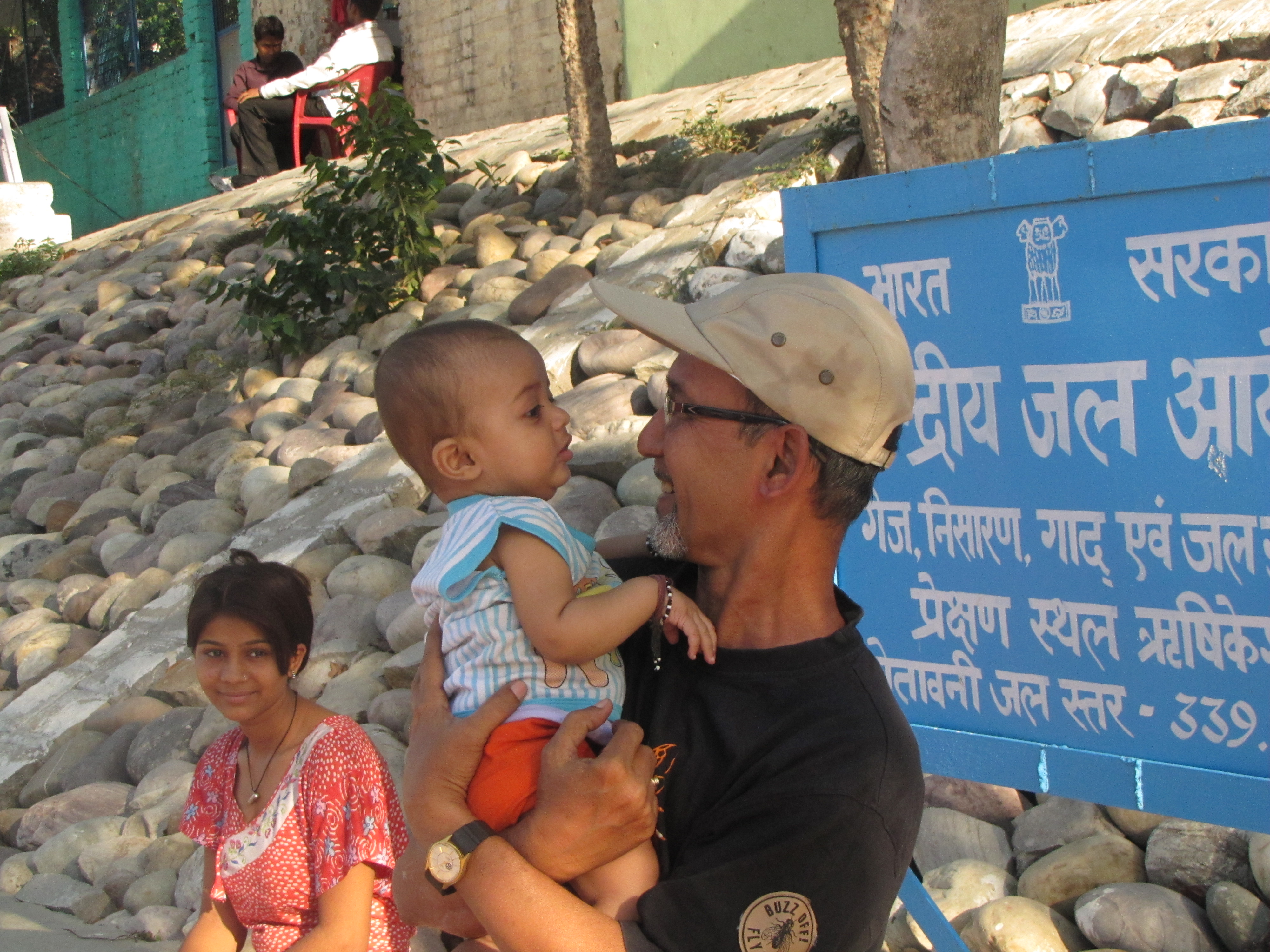
jhuntumama with a baby. he was
reluctant to go back to his mom.
baba kali kambli dharamshala was clean and simple.
these tourists from kolkata suburbs were very much taken by our story of cycling to badrinath.
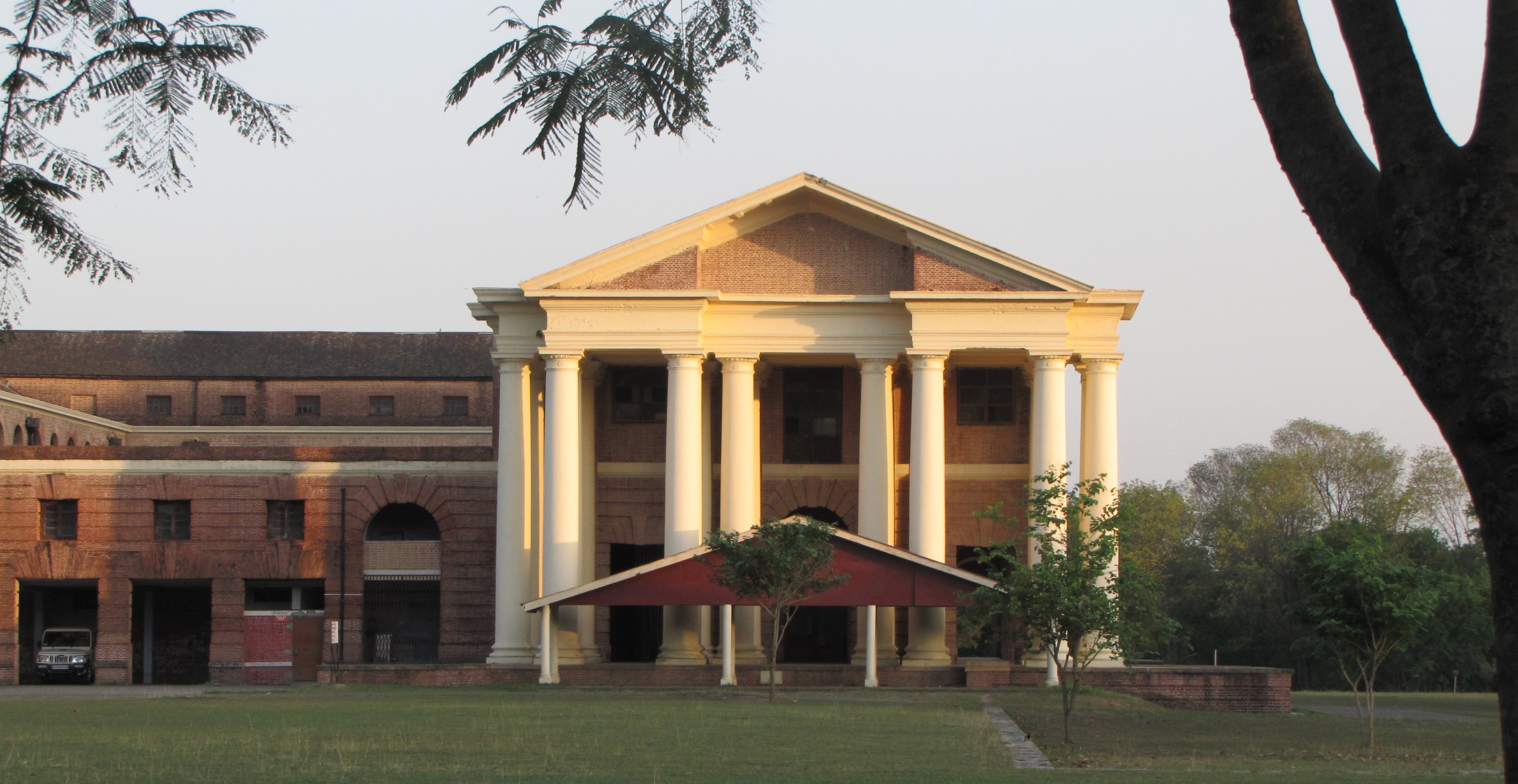
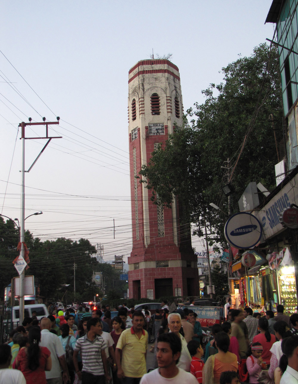
the forest research institute at dehradun. ghantaghar in the dehradun market.
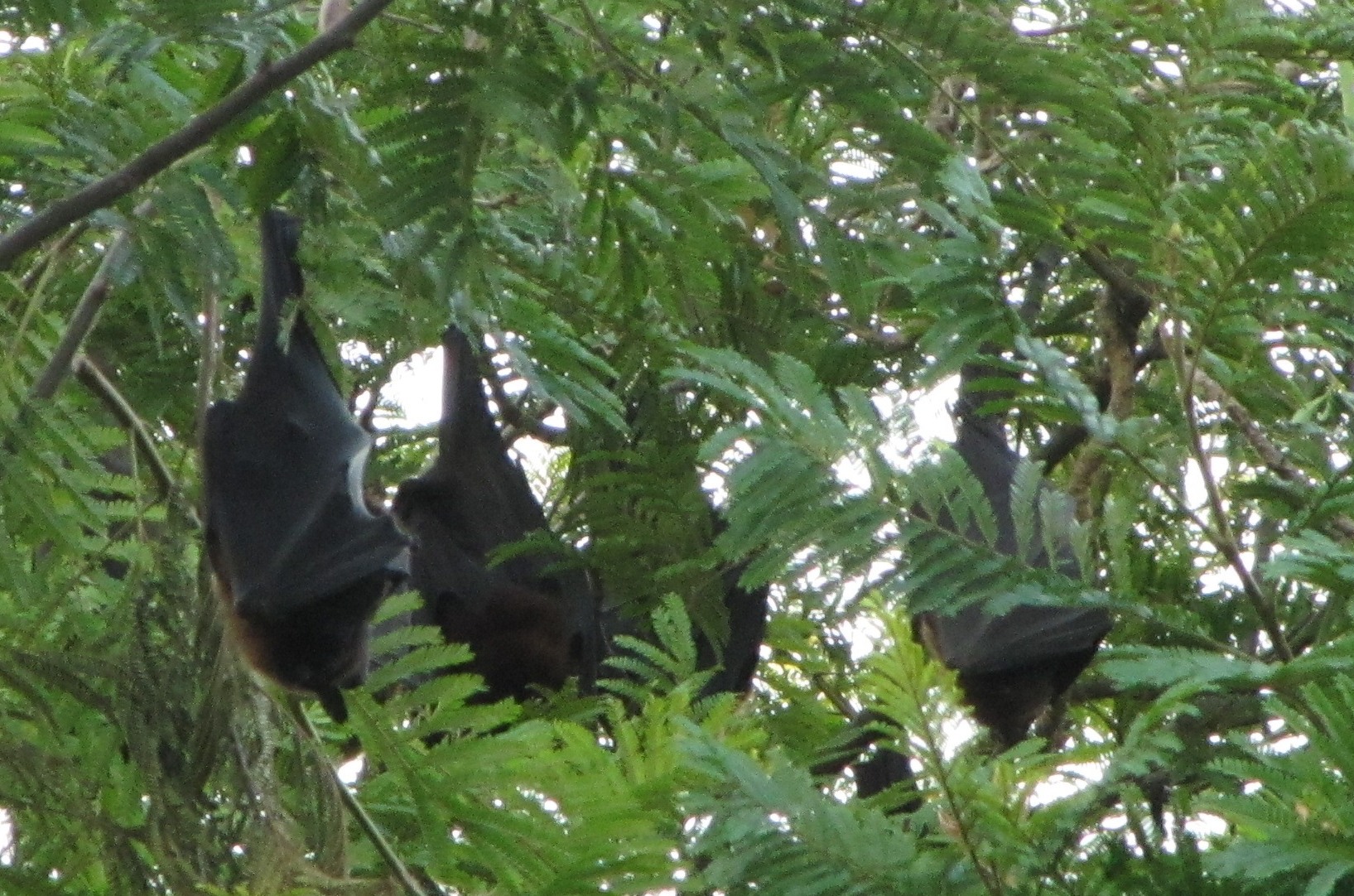
bats hanging from a tree
[bumpy trails bicyclists homepage]
ganga villages : [TuTA ghAT apr 2010] [bandimAtA apr 2010]
bicycle birding: [lakh-bahosi 191km feb 2011] [chaubepur apr 2010] [gambhirpur feb 2010] [exploration : lakh-bahosi feb 2010]
[IITK GJ rural bicycle tour : mar 2010] (700+ riders) [family bicycling : jan 2010]
Further afield: [ranikhet] (mar 2010) [Tour of Nilgiris]
html index created using imagemagick script on Thu Sep 23 04:51:05 IST 2010