| tour homepage | next page: III |
day 3: keylong to patseo (jul 9)
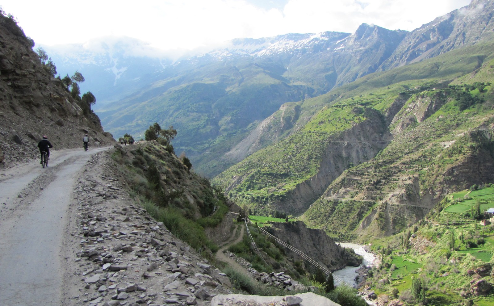
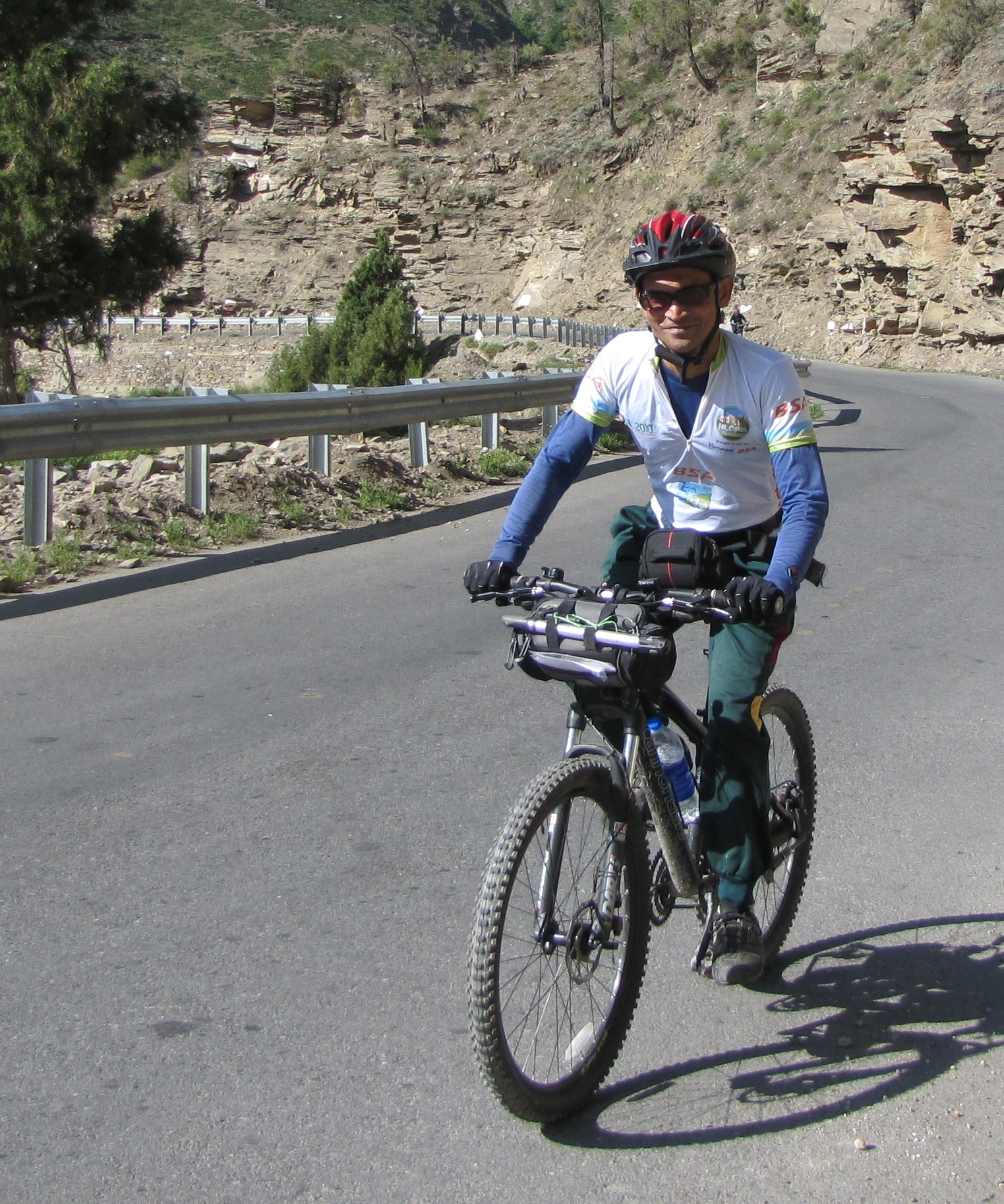
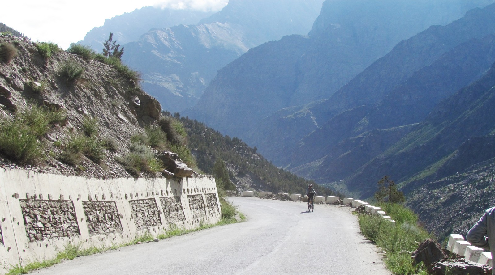
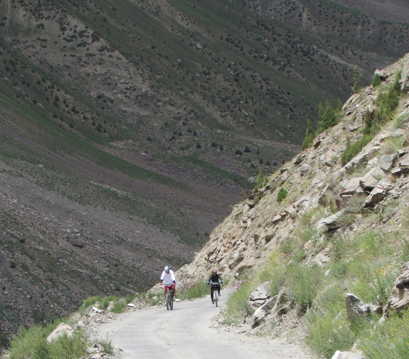
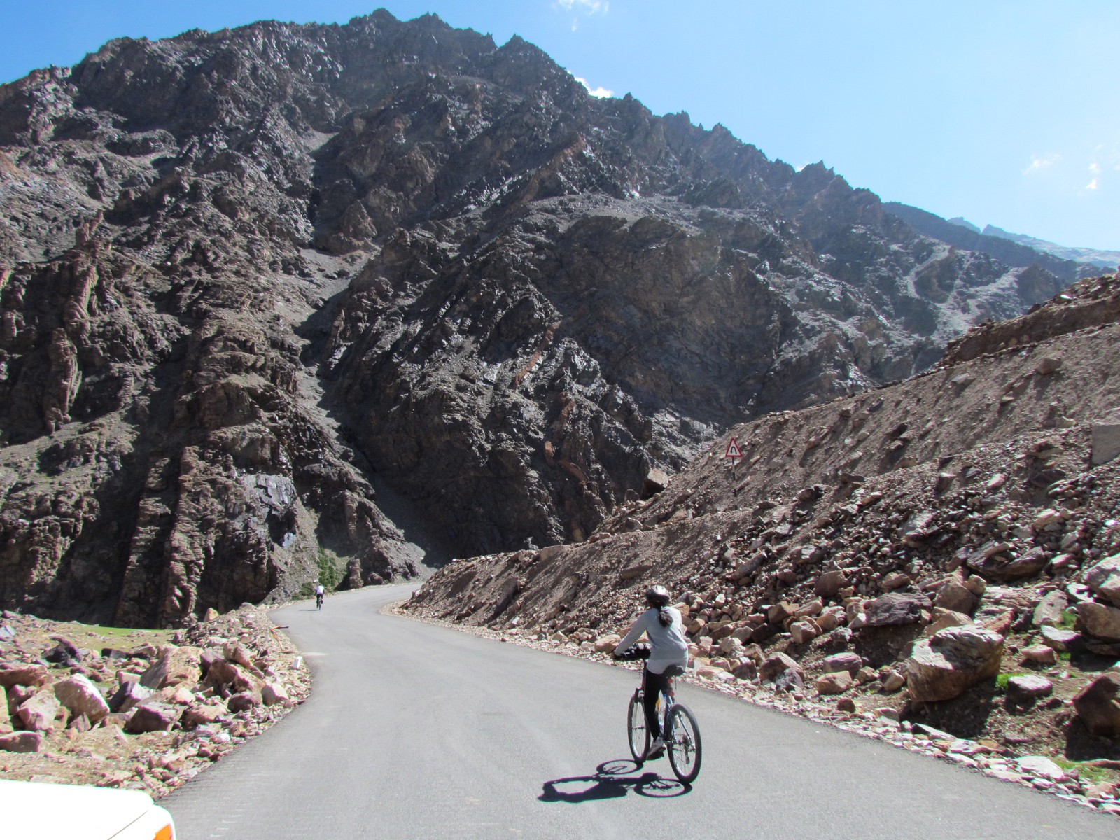
after breakfast, we hit the road at 7:40. some rough roads - first of many water patches. small ups and downs along the bhAgA river valley - downhill entering to jispa. breakfast at a small roadside shop where we meet a wrinkled old woman, who asks for a "pen".
mohua sg bhAgA valley near keelong. saumyen bridge after keylong
nandini riding. amit enjoying the view on the bhAgA gorge.
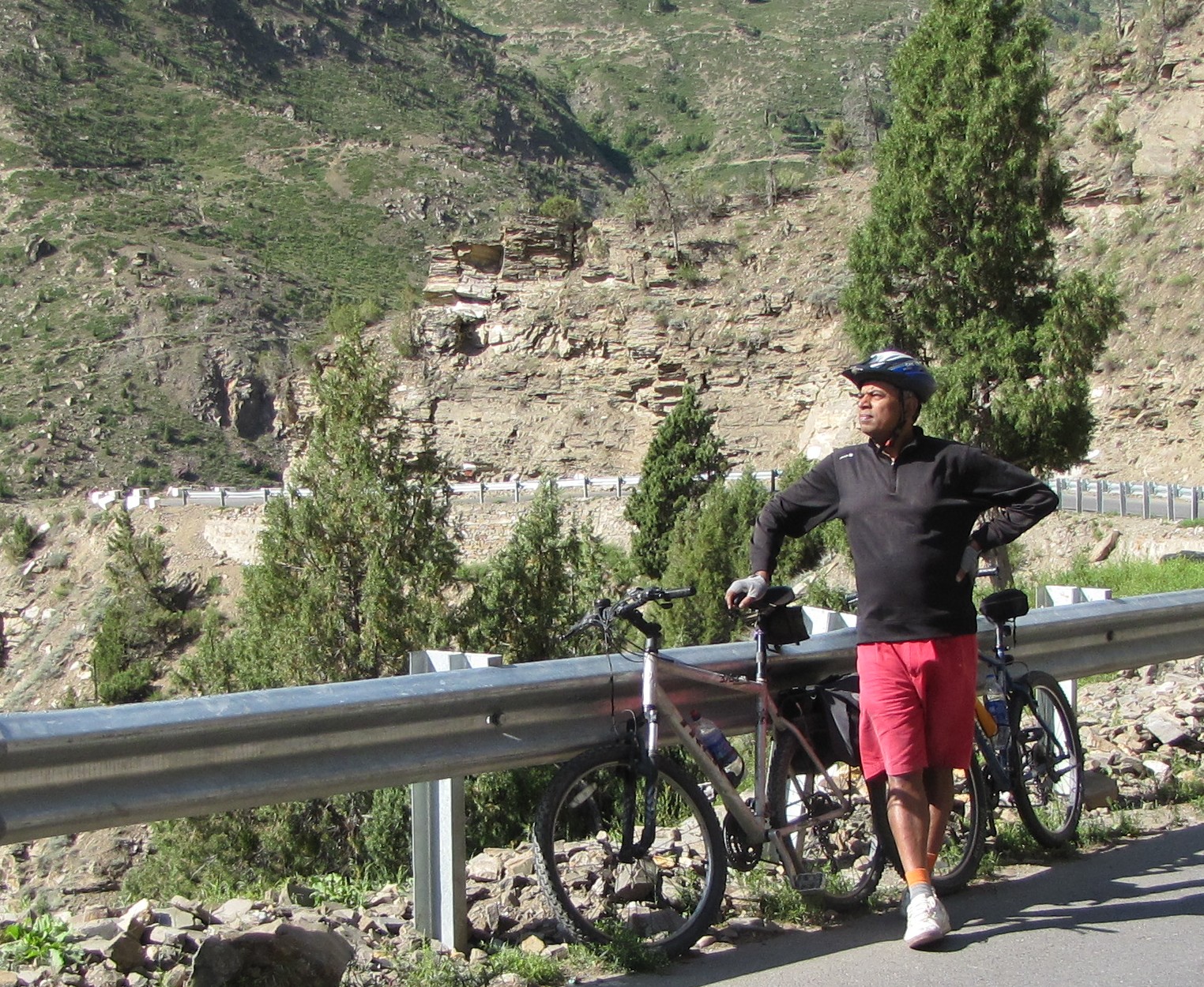
saumyen on the road. amit and saumyen at a water break.
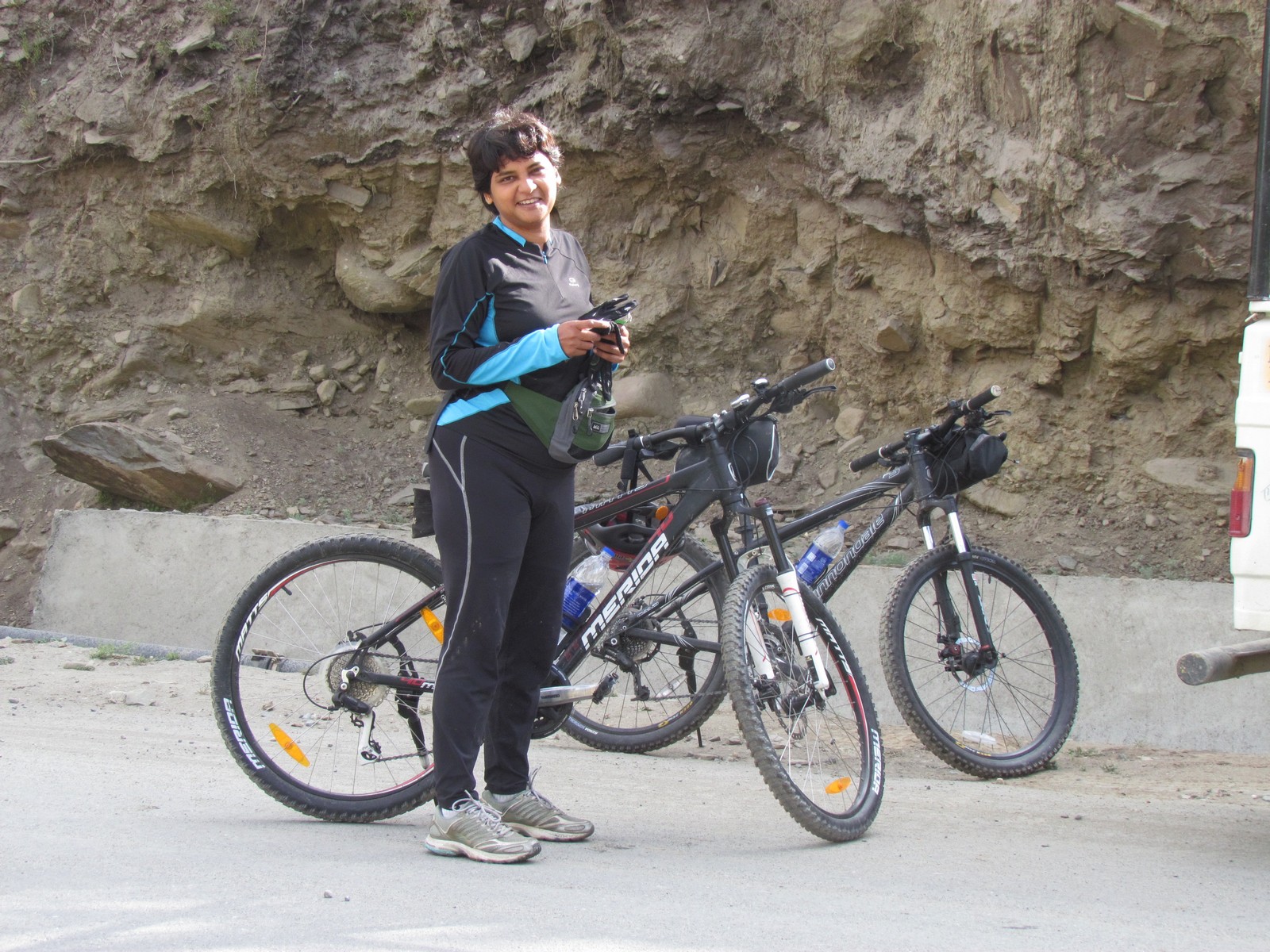
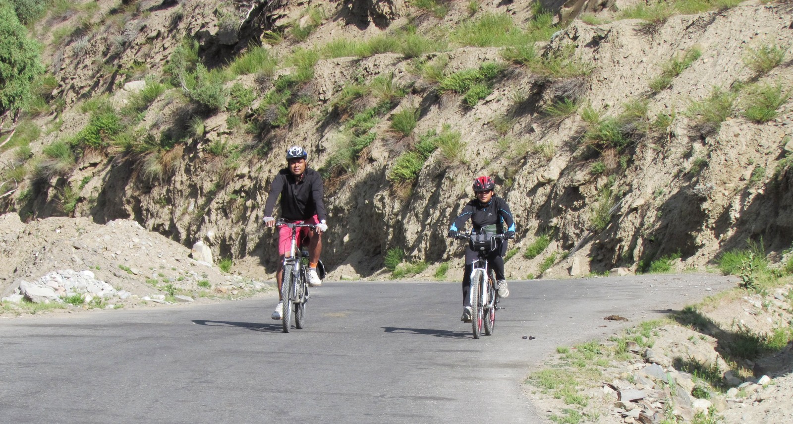
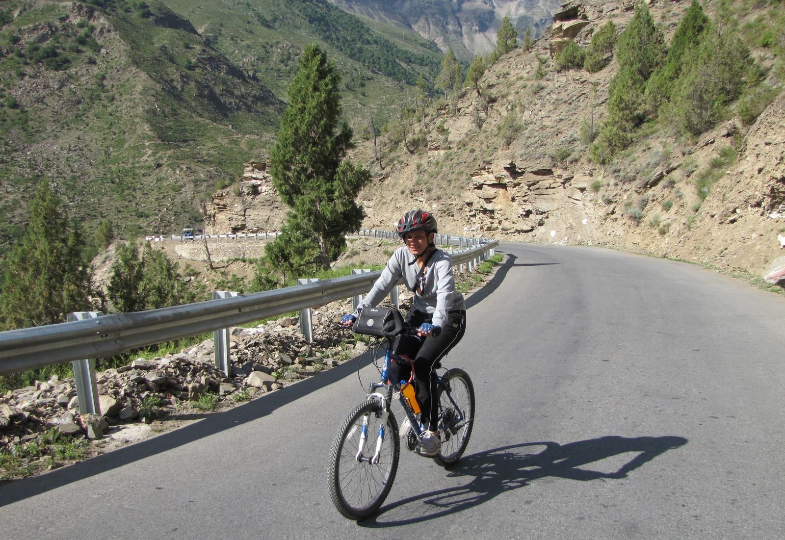
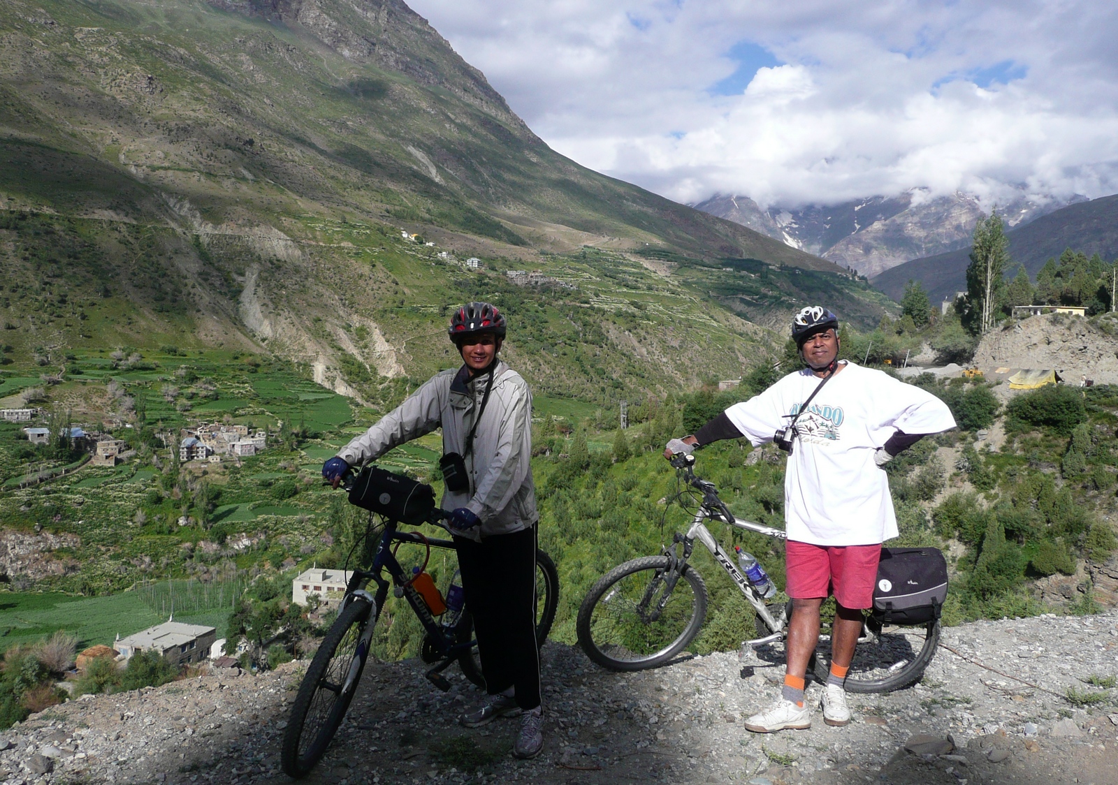
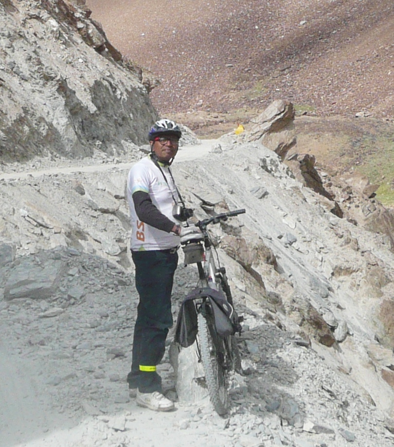
mohua. amit and mohua on the road
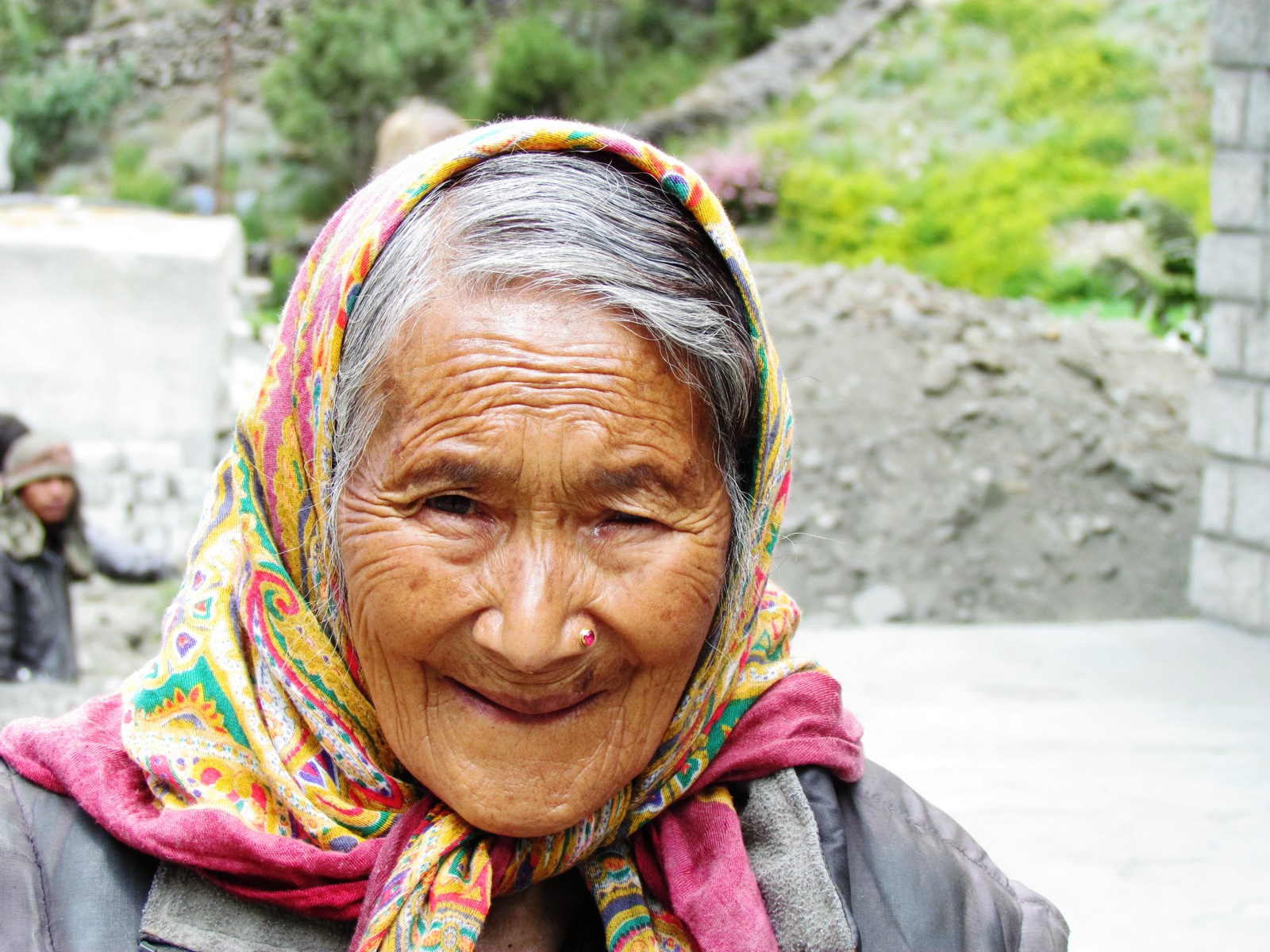
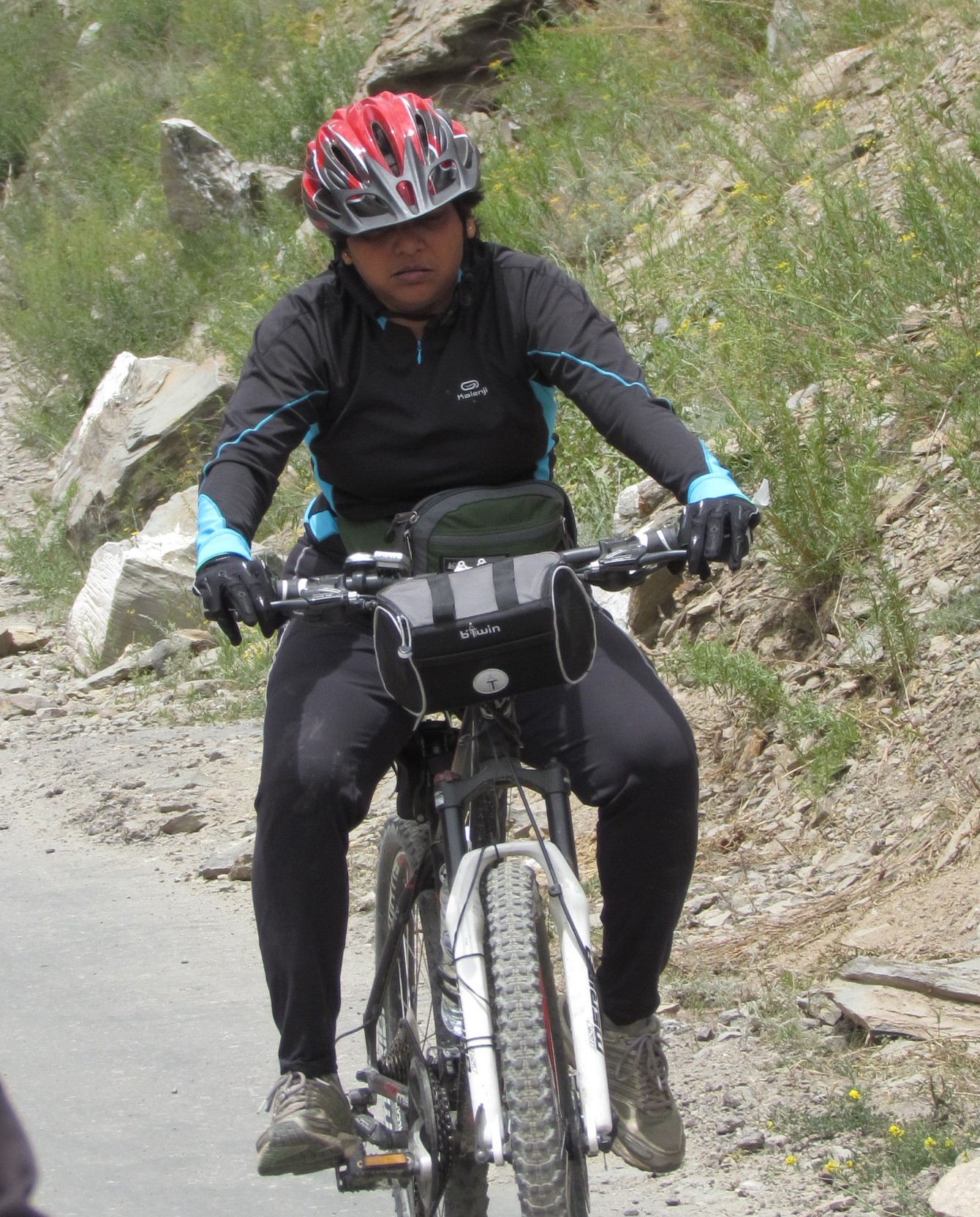
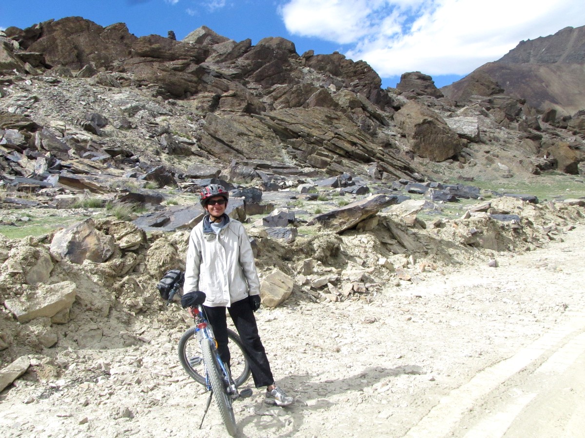
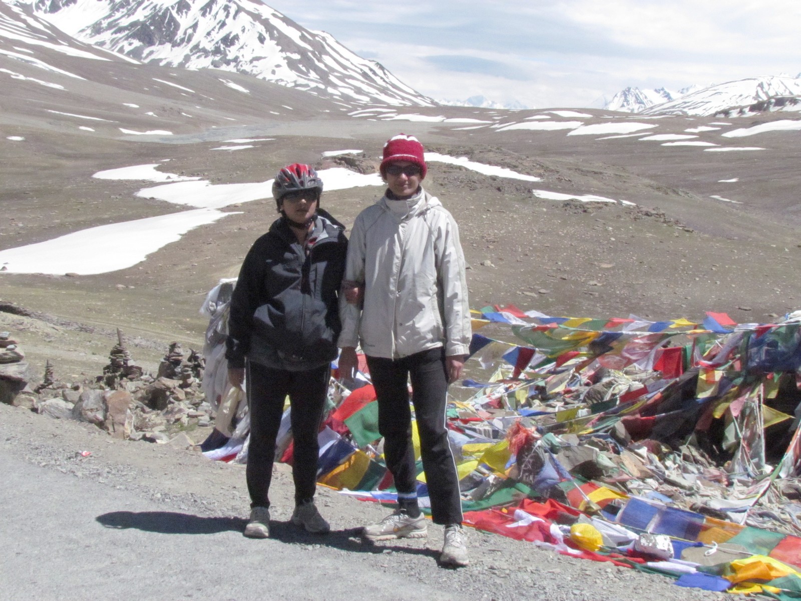
nandini. old lady at jispa; she cajoled a pen from us.
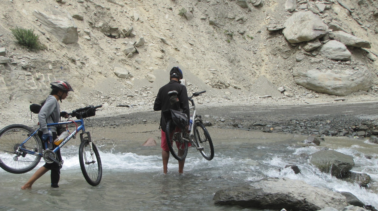
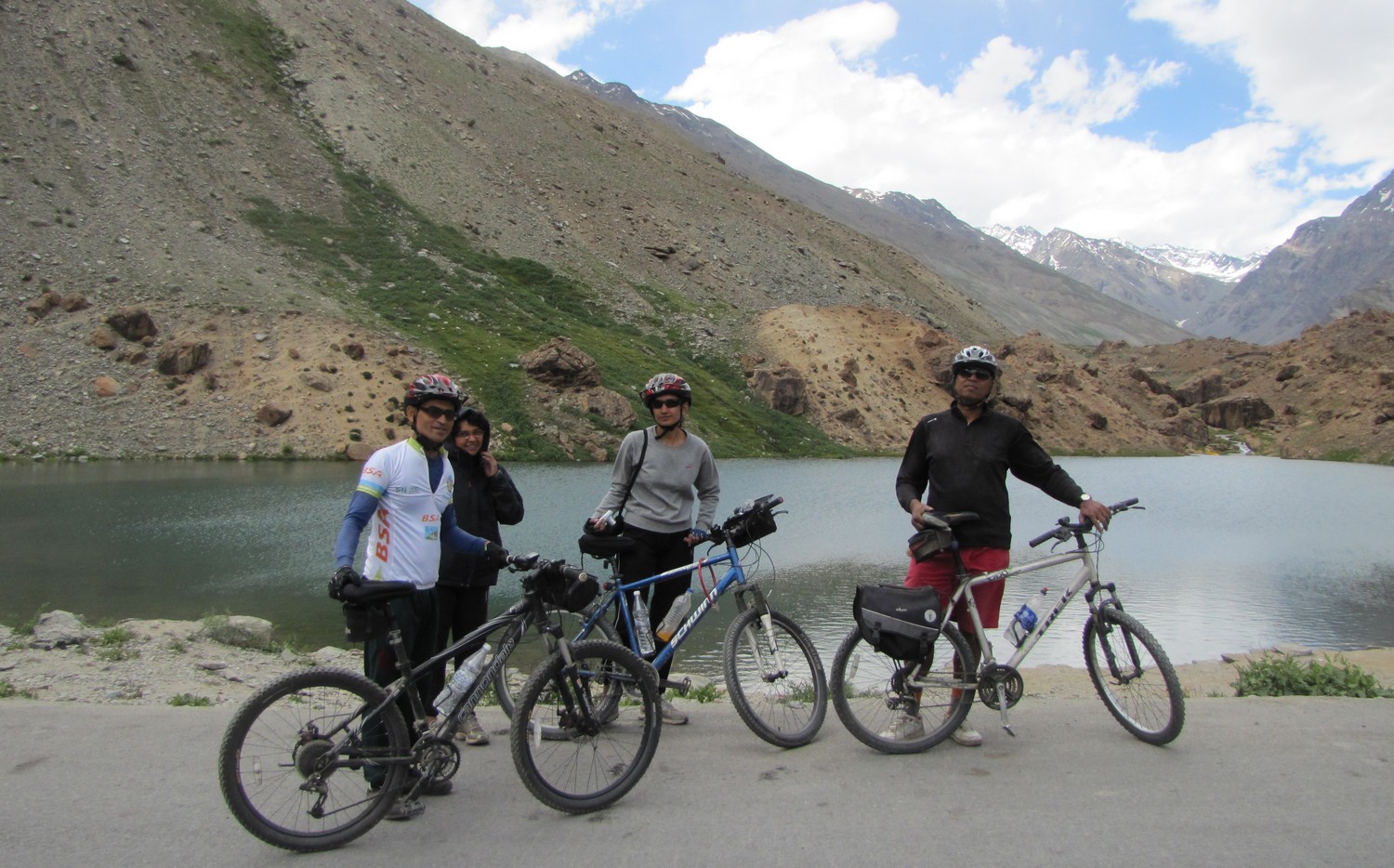
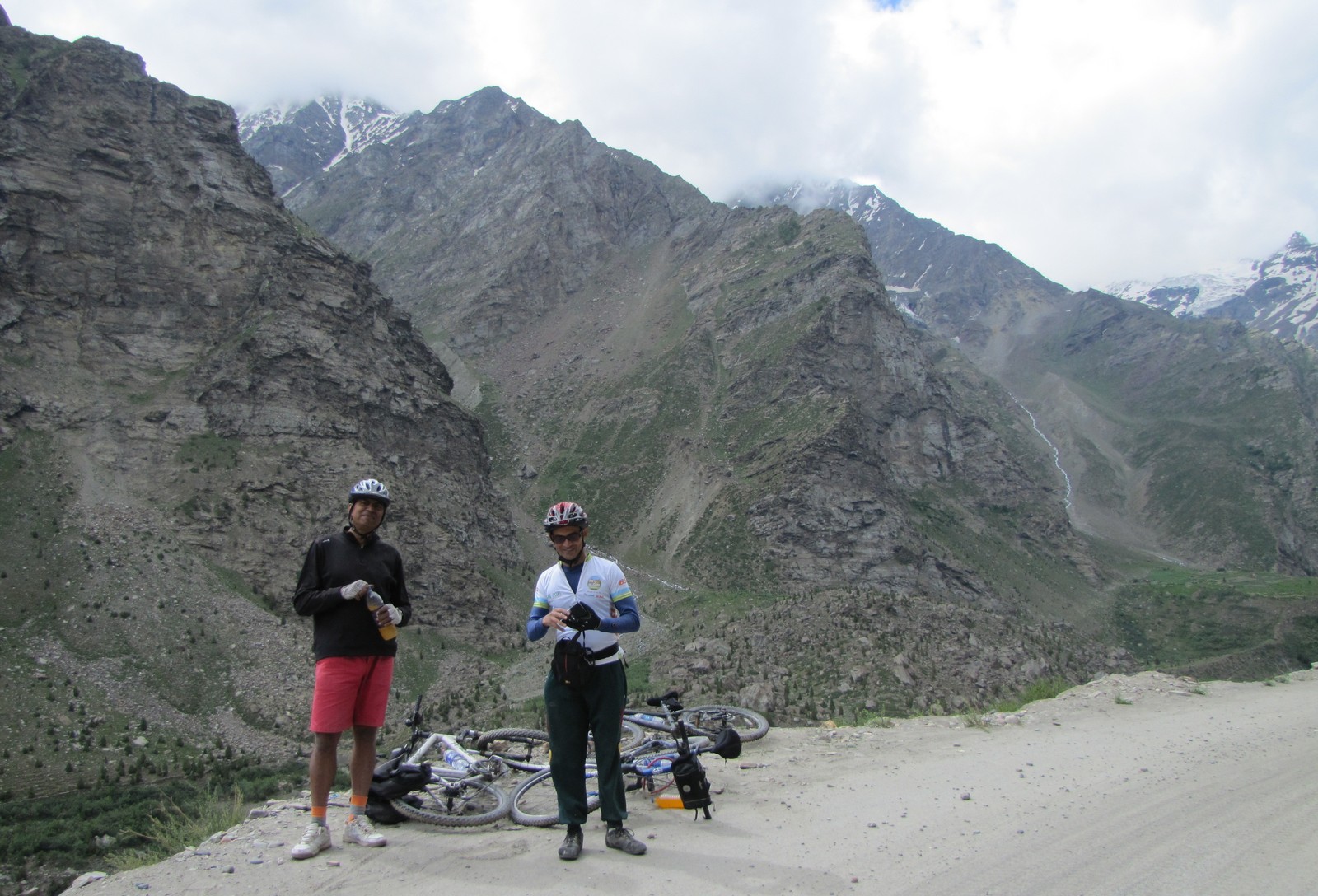
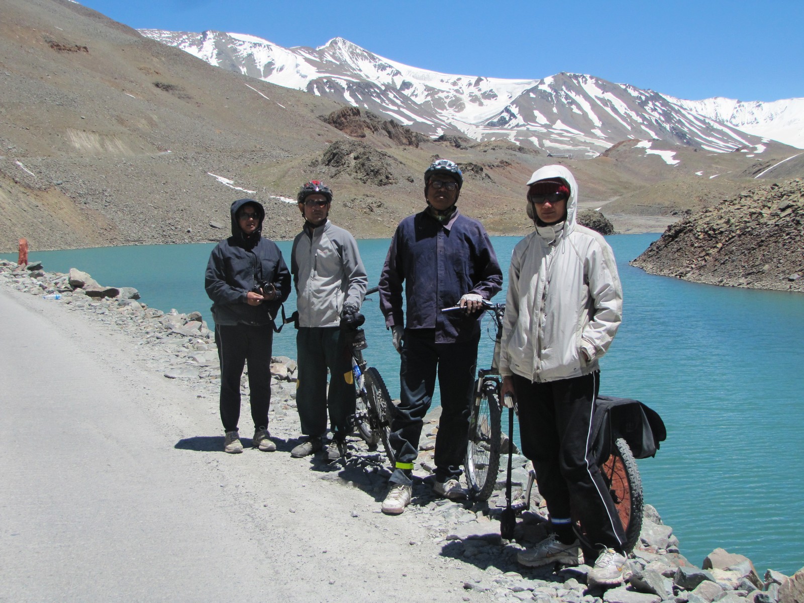
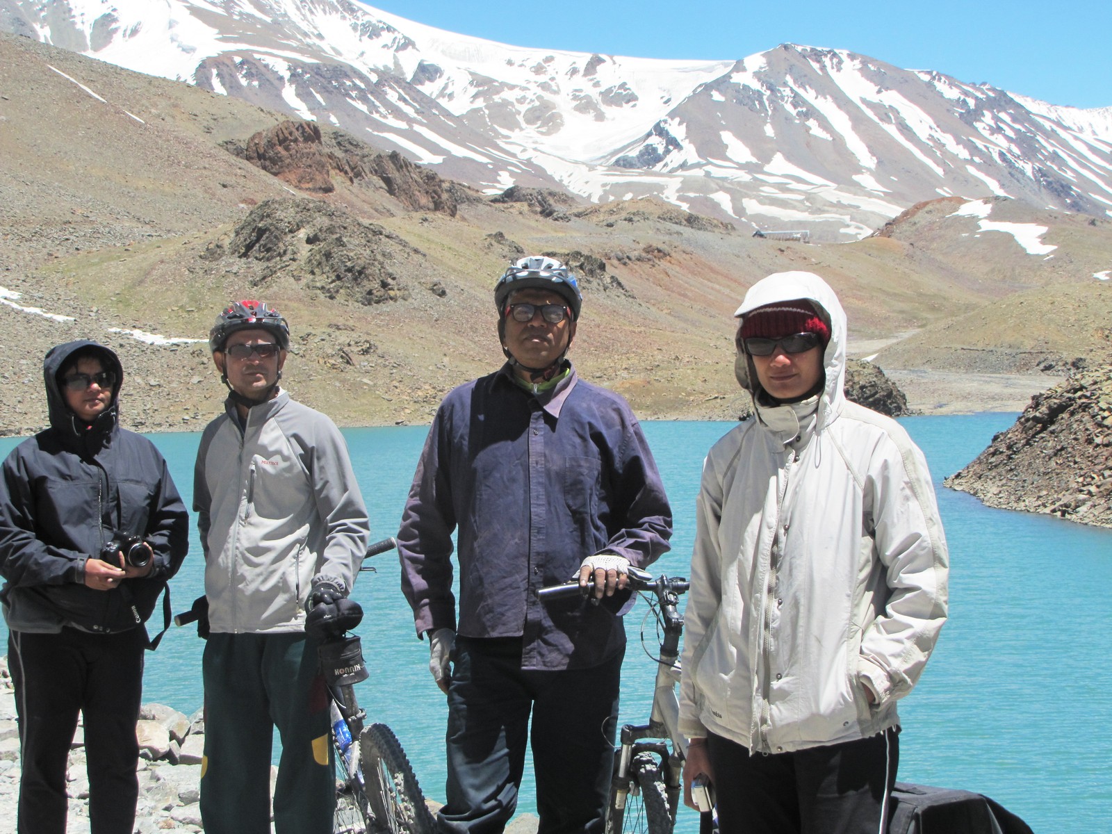
nandini and amit fording a stream. the gang of fouor at dipak tal, just before patseo.
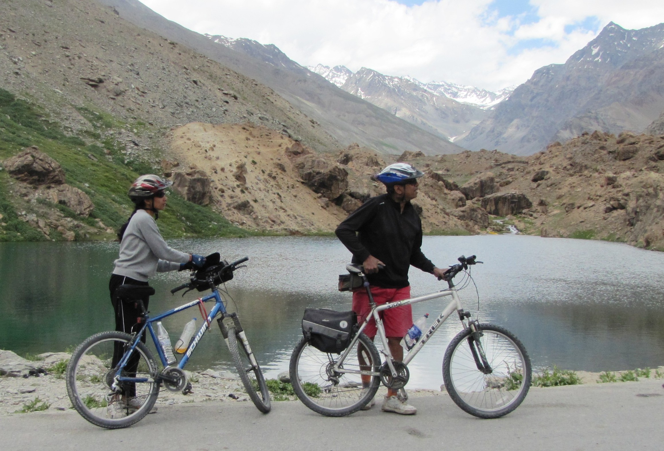
nandini amit dipak tal
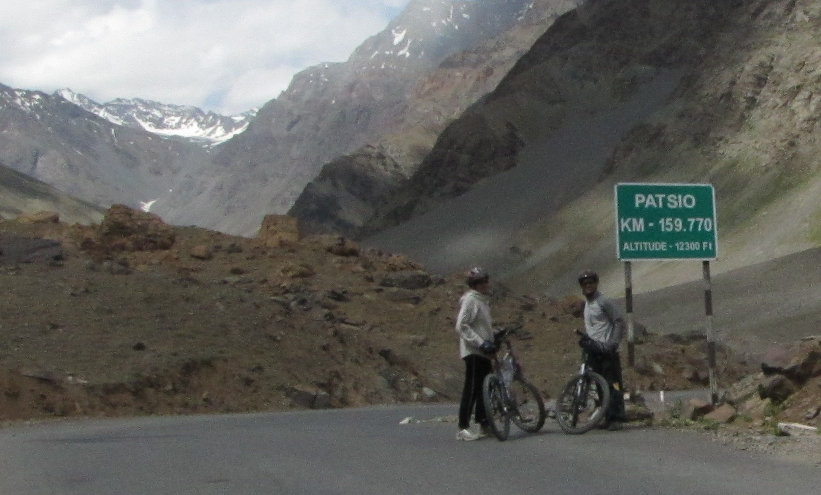
nandini all smiles amid the mountains. nandini saumyen patseo
nandini amit
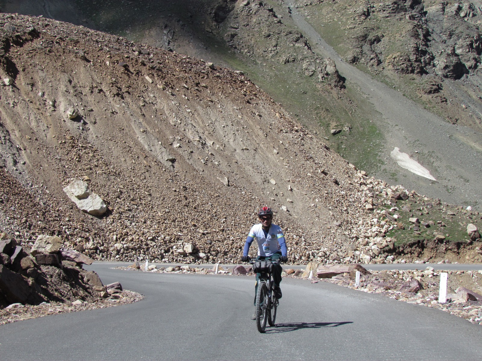
saumyen. bhAgA valley
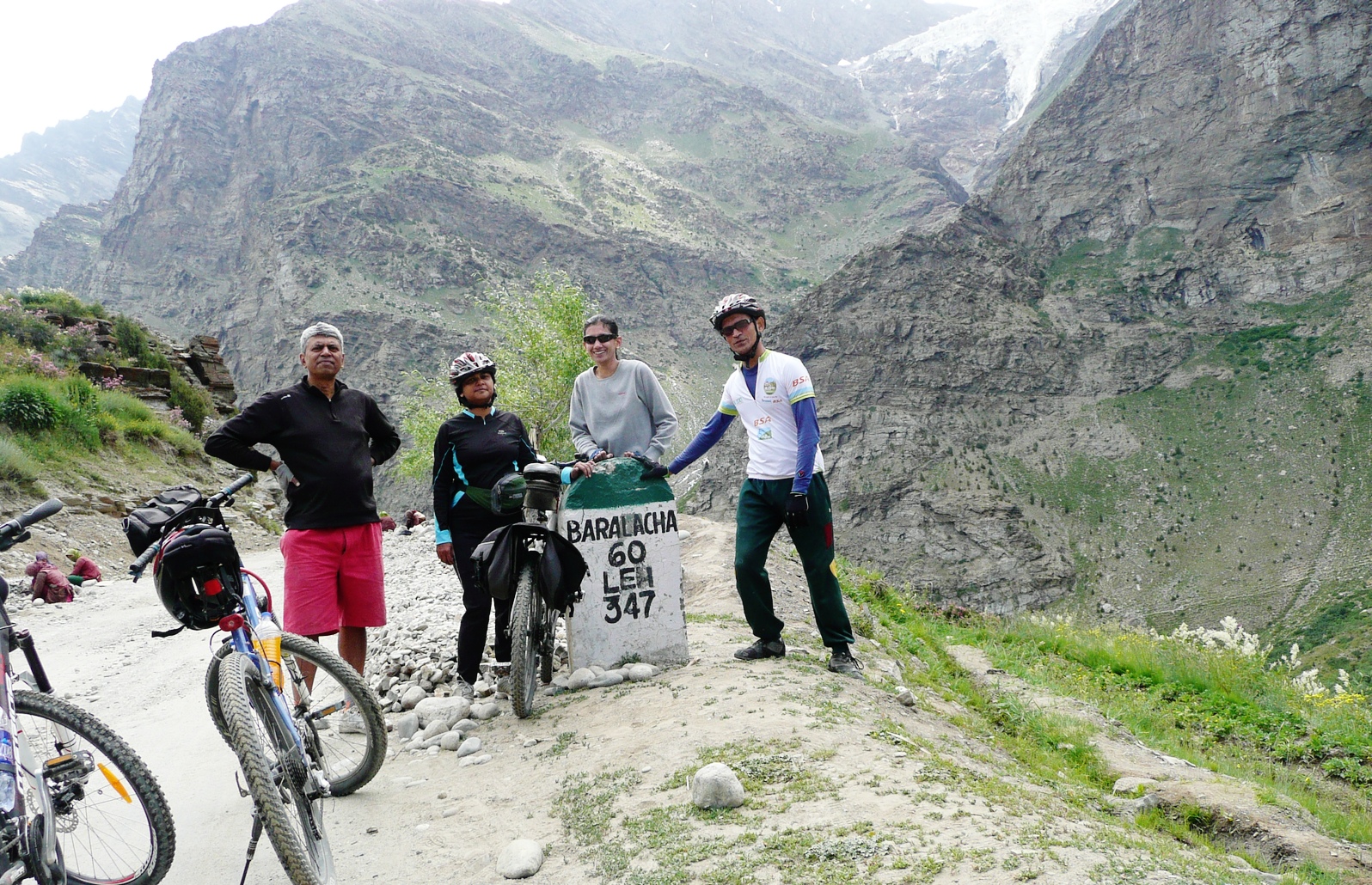
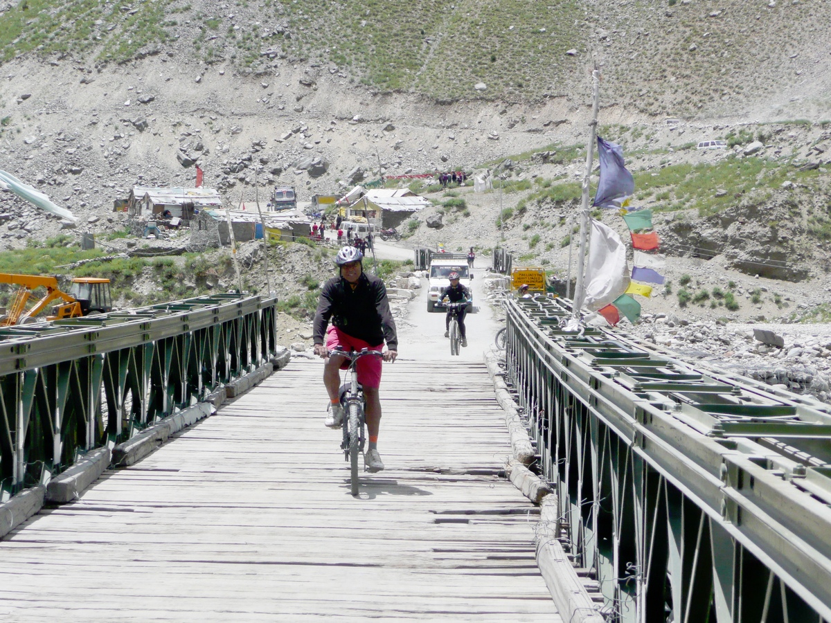
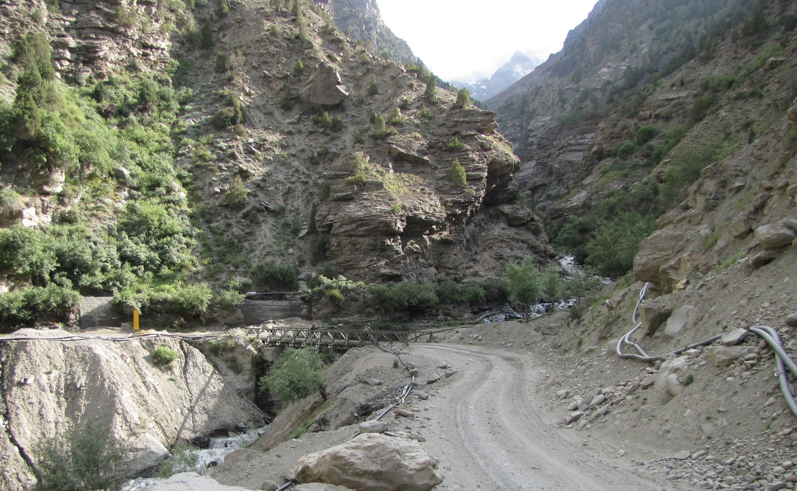
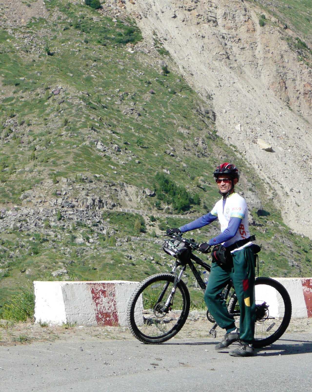
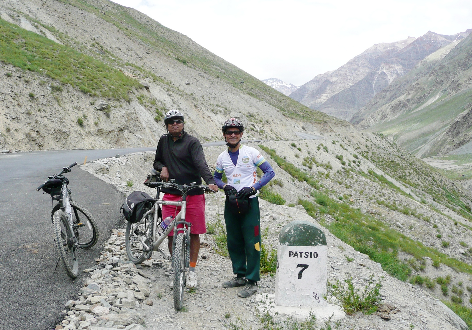
amit mohua nandini saumyen: milestone to remind us of the big climbs ahead. amit and mohua at darcha bridge
The climb starts after darcha, but it isn't that bad. we are in patseo around 2 pm.
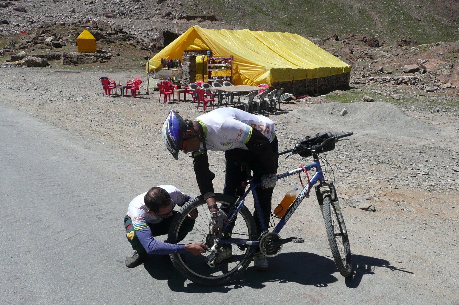
at the pwd guesthouse we meet the caretaker balbir. he is a smart old man, who has managed to learn a good bit of english talking to tourists on the road. yes, there are two double rooms - rs 480 each, so we take both. our names are noted on the register and it's all above board.
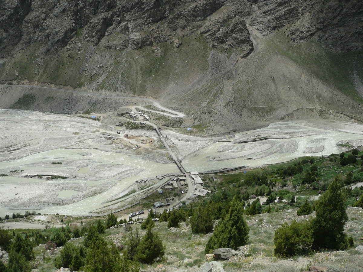
Note: last couple of years someone had set up a parachute tent at dipak tal - a scenic lake just before patseo; but this year they have not come, so accommodation is very tight at patseo - just these four beds at the PWD guest house.
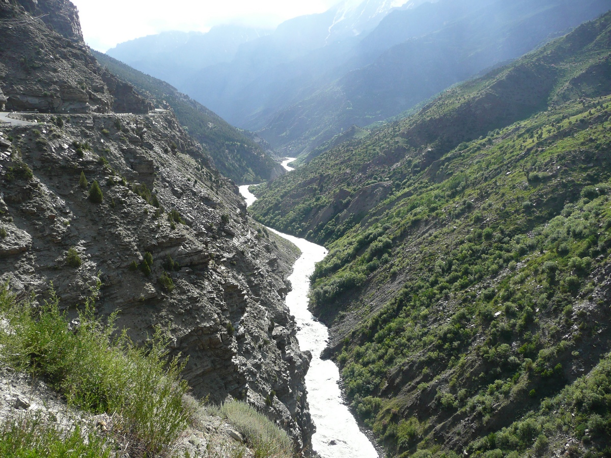
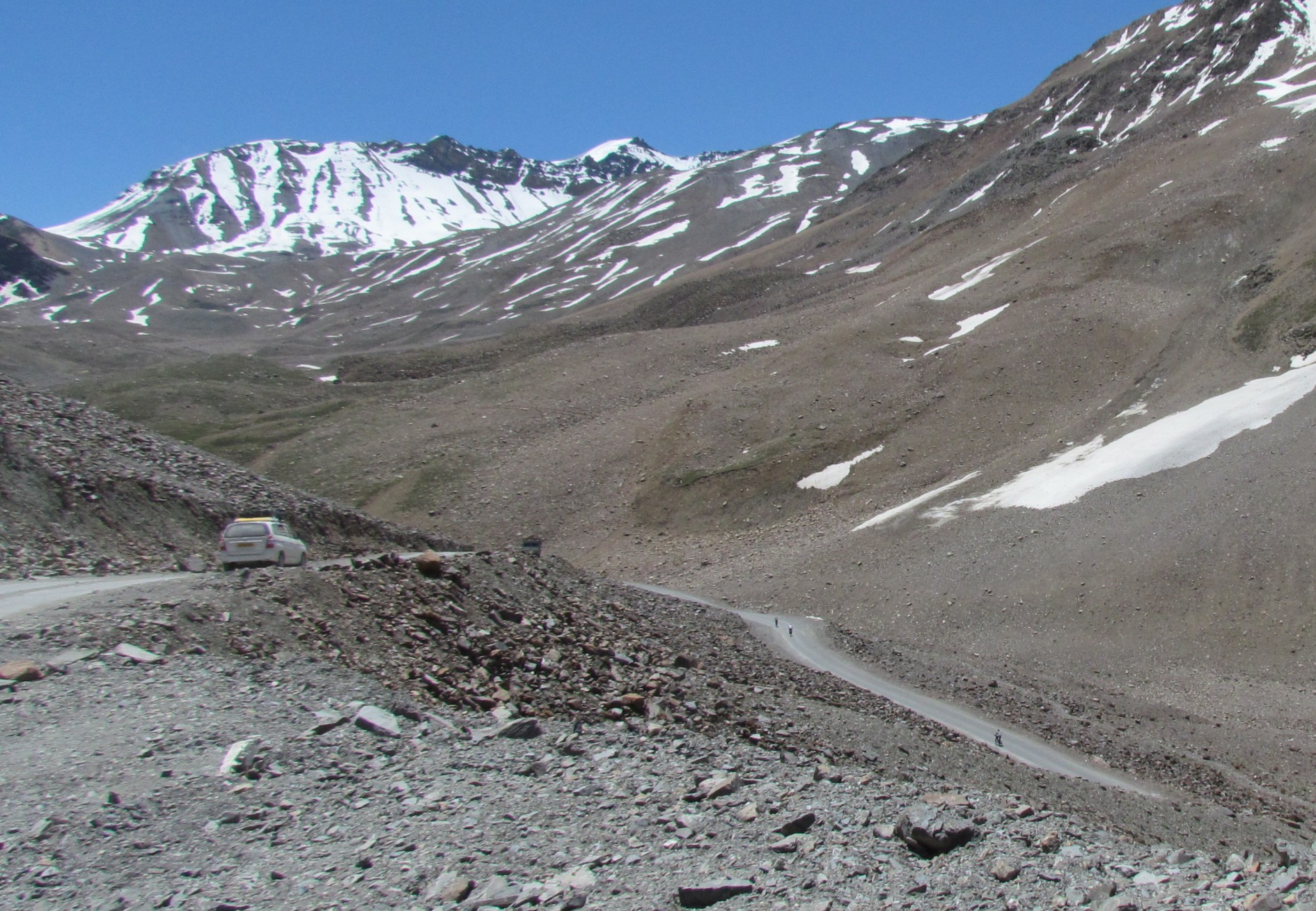
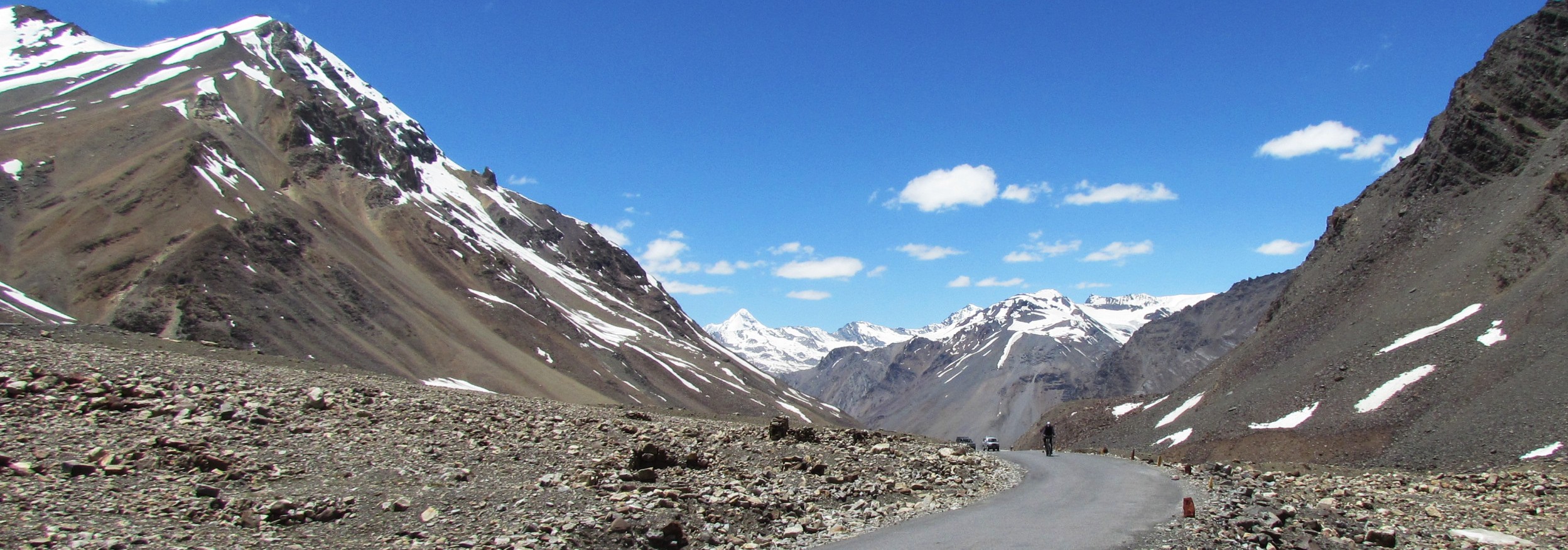
view of darcha from the north (while climbing towards patseo). jankar nala coming in from the right, flowing towards the bhAgA at left (not seen). we came from jispa on the zigzag road at the top, crossed the two bridges, and started climbing towards patseo.
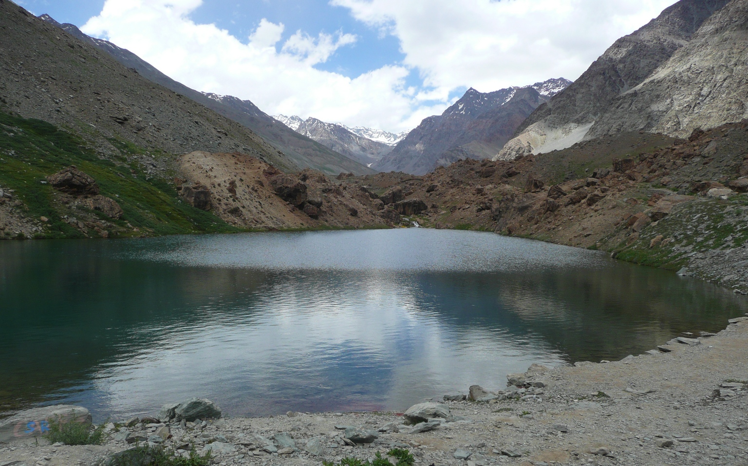
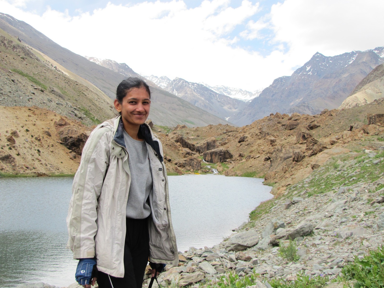
amit saumyen. dipak tal before patseo

mohua nandini darcha bridge over barchi nala
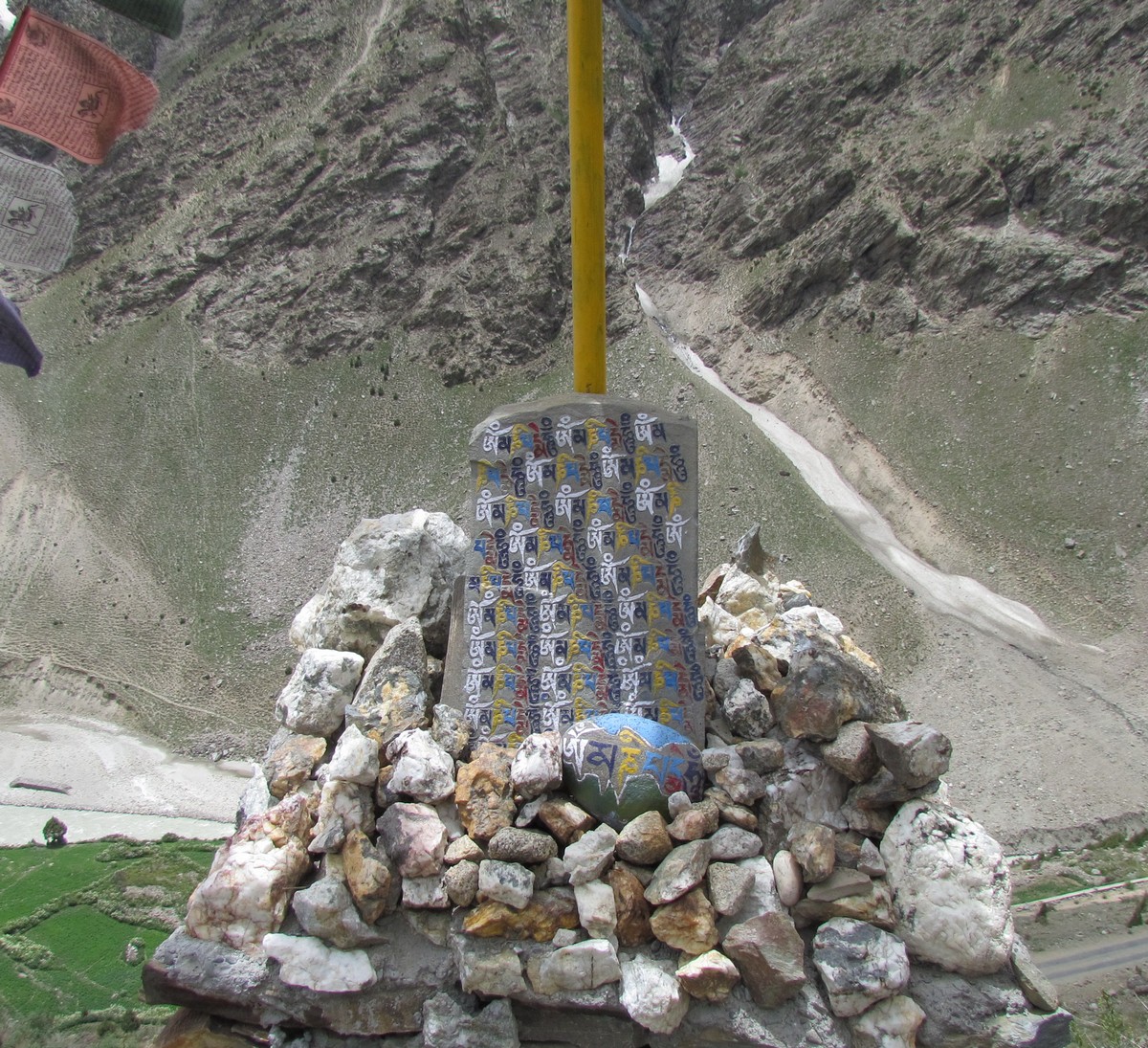
om-maNi-padme-hum - repeated incantation in colourful lahauli on base of pole. 4km after jispa. amit and mohua in the distance. mohua
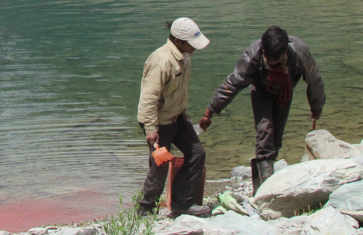
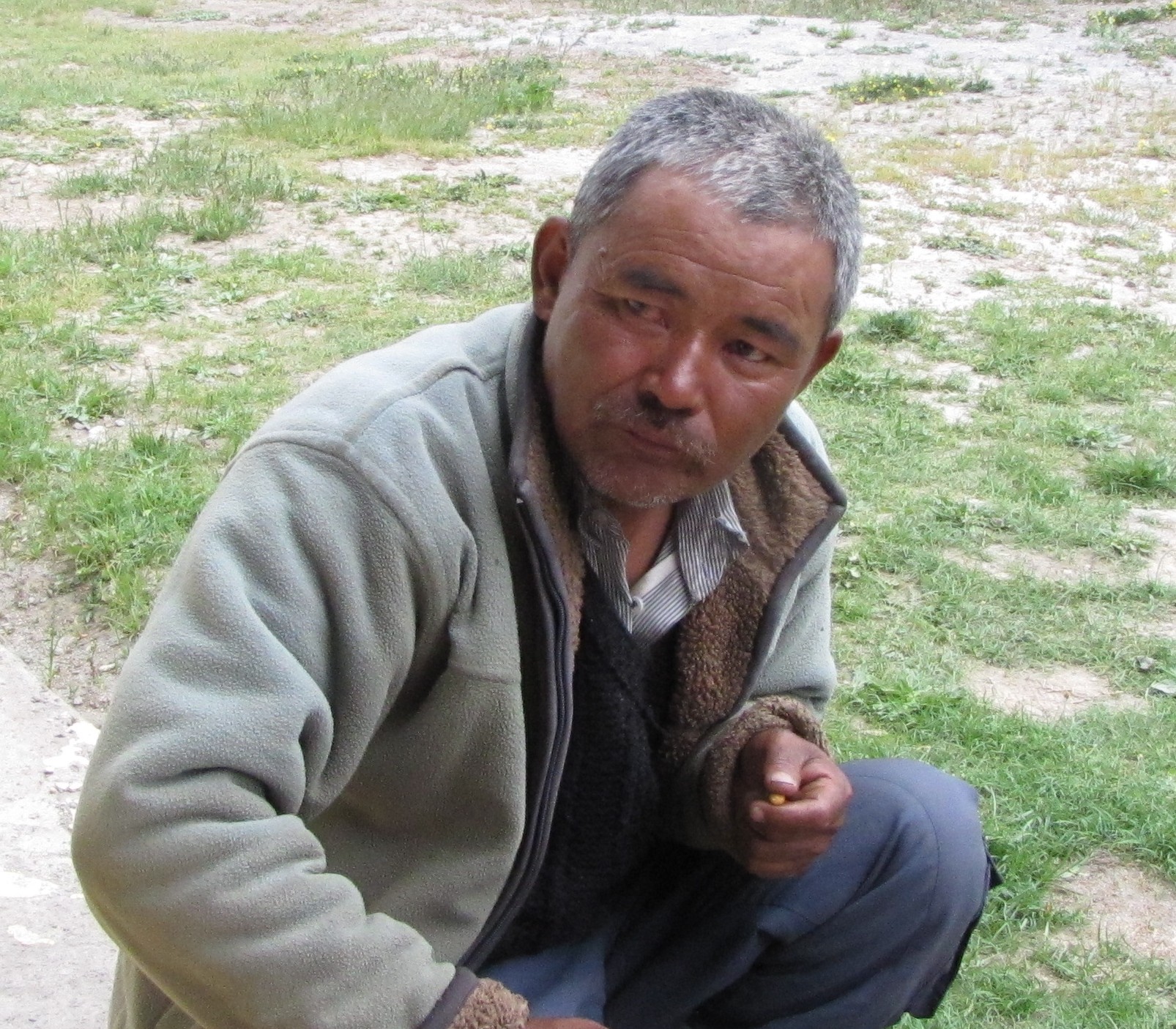
the construction crews who were painting the roads, were simply washing the paint in the pristine waters of dipak tal. balbir - the helpful caretaker at patseo.
it's amazing how you keep bumping into people on this road. we would later meet both the spanish cyclists and also yogi and janantik at leh.
Fact sheet keylong to patseo
JUL 9. Keylong (3145 m) to Patseo (3751 m). 44.5 Km 6km Tayul Gompa [one of the oldest monasteries of the valley having a big statue of Guru Padmasamhava about 5m high. Has a hundred million mani wheels which ��turn by themselves�� on special Buddhist occasions. Temple lamas: wheel last turned on its own in 1986. 17km Gemur 3290m 21km ?23k Jispa 3255m hotel ibex well-known for breakfast 28.5km Darcha 33 20m - police checkpoint road goes W to Raru (Zanskar valley) bridge crossing over to E of Jankar river 38-40km cross a valley - 3800m 43km Deepak Tal - small glacial lake - good for camping 44.5km patseo 3720m. easy day. [+45k 167k] Lodging at Patseo: PWD rest house. it's recommended you get there early (before 4pm-ish is good) - to get a room. Otherwise too, Balbir will be happy to accommodate you on the balcony, or if you have a tent, you can pitch it on the grounds. Some years, there is a parachute tent near dipak tal, but it wasn't there in 2012. Food: Lunched at Jispa. Unfortunately, we missed the "hotel ibex" and had to make do with omlets and maggi. This year, a tent food joint had opened near the PWD rest house; they can also accommodate some people if really pressed. Facilities: There is no phone connectivity from Darcha all the way to Pang, and in fact, pretty much all the way to Upshi. A few army facilities may have wireless phones.
From Keylong, the next two days we cut through the Lahaul valley,
going down
the Chandra river till Tandi, and then up along the Bhaga, past the Jankar
Nala at Darcha and into Patseo. From here one climbs steadily till the
Barala-Chala - which is really two passes - Bara La on the main line we are
following, and Cha La going off to the East, towards the source of the Chandra
river (marked by the hiking trail on this map). Eventually you reach
Sarchu, at which point the route crosses the Tsarap river and goes into the
even more barren desertscape of Ladakh.
map source : http://www.lahaulspiti.com/map
day 3 - patseo to sarchu (baralachala 4900m) (jul 10)
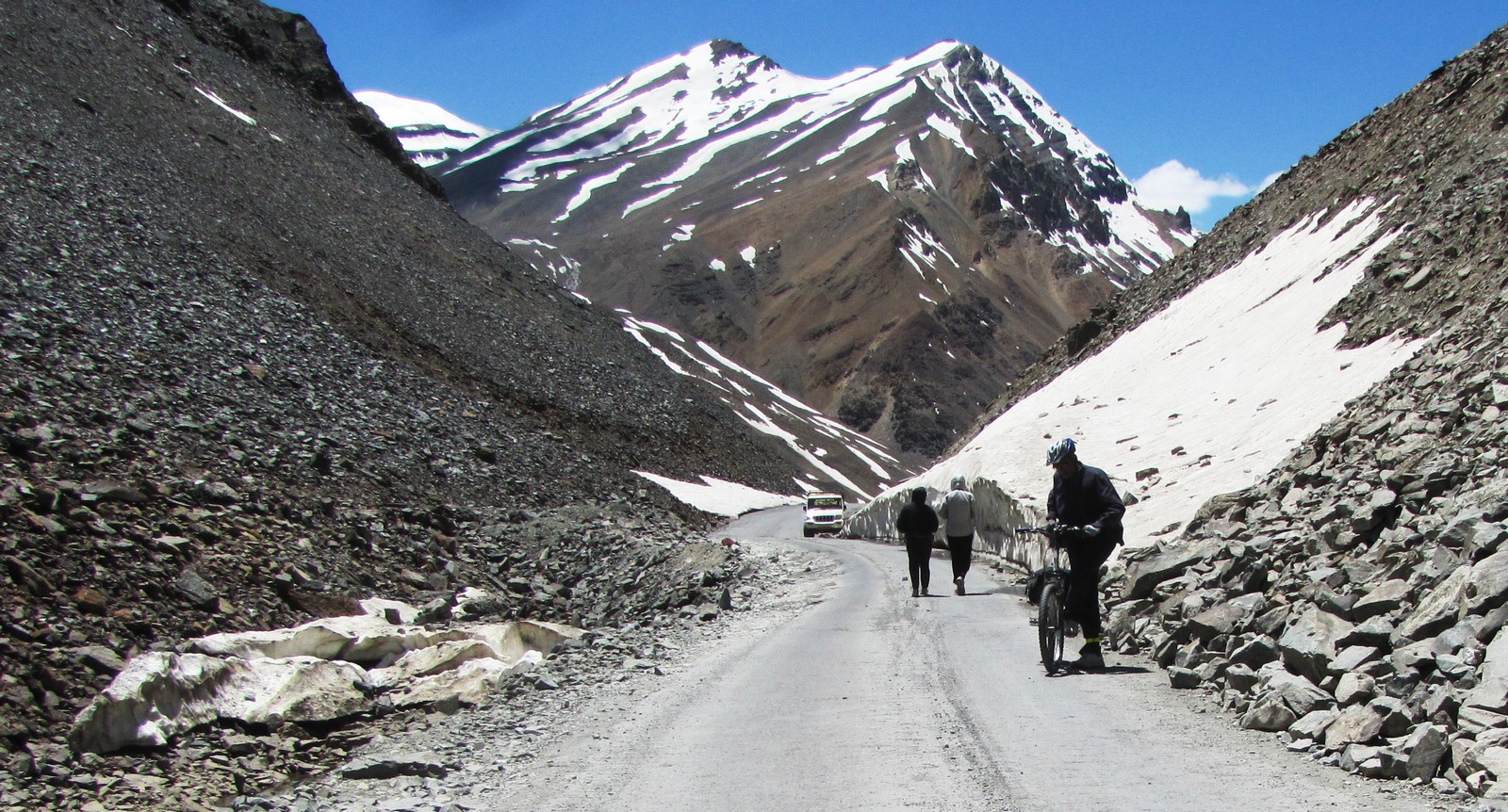
Today is the big day, where we will have our first major climb over the Baralachala at 4900m. the climb starts right away. we are expecting to breakfast at zingzingbar, which is 10km uphill. a sign called zingzingbar comes and goes, but the parachute tent dhabas turn out to be some 5 km beyond this. The location of these tents can shift every year, depending on local preferences.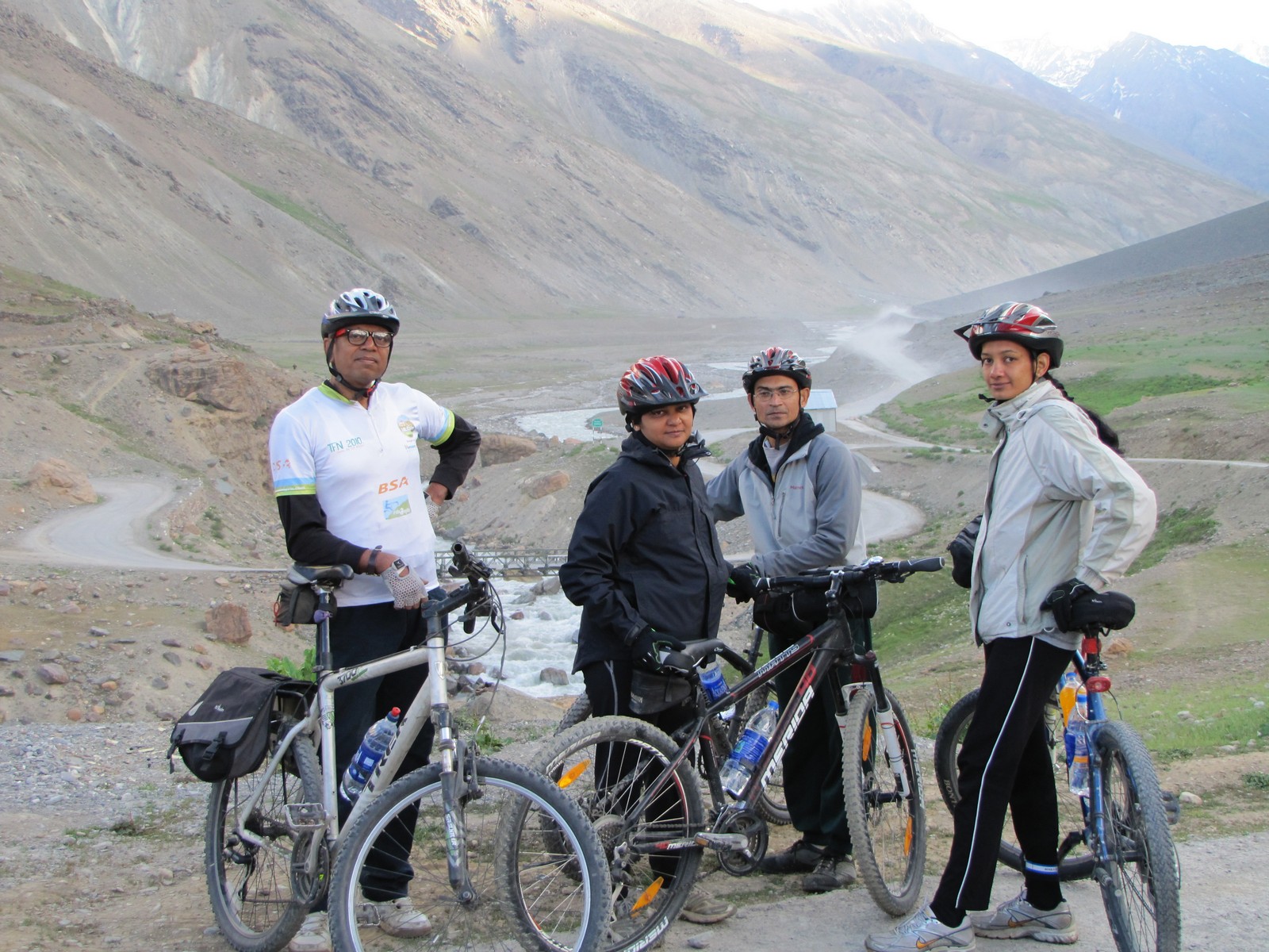
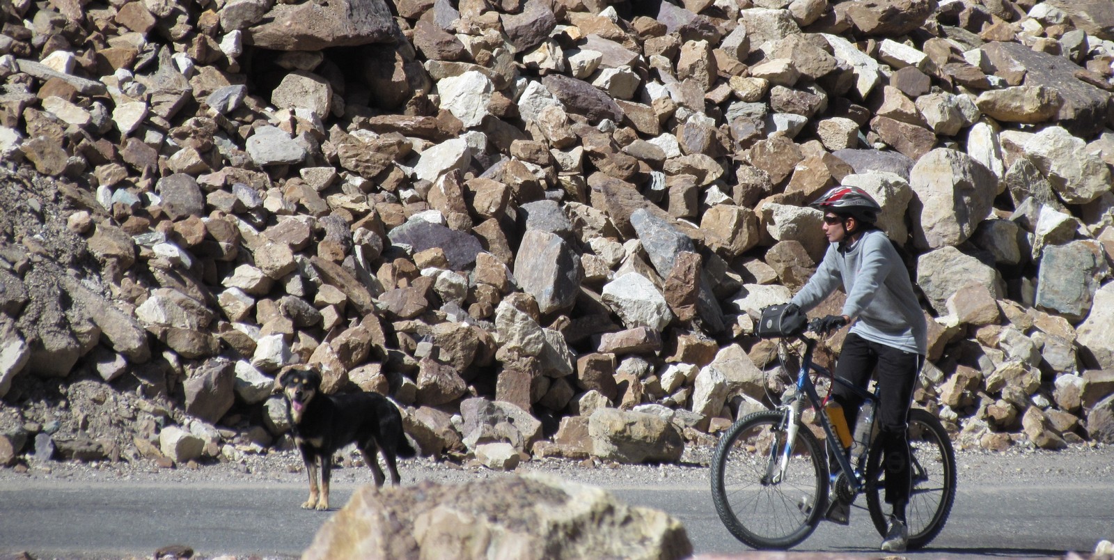
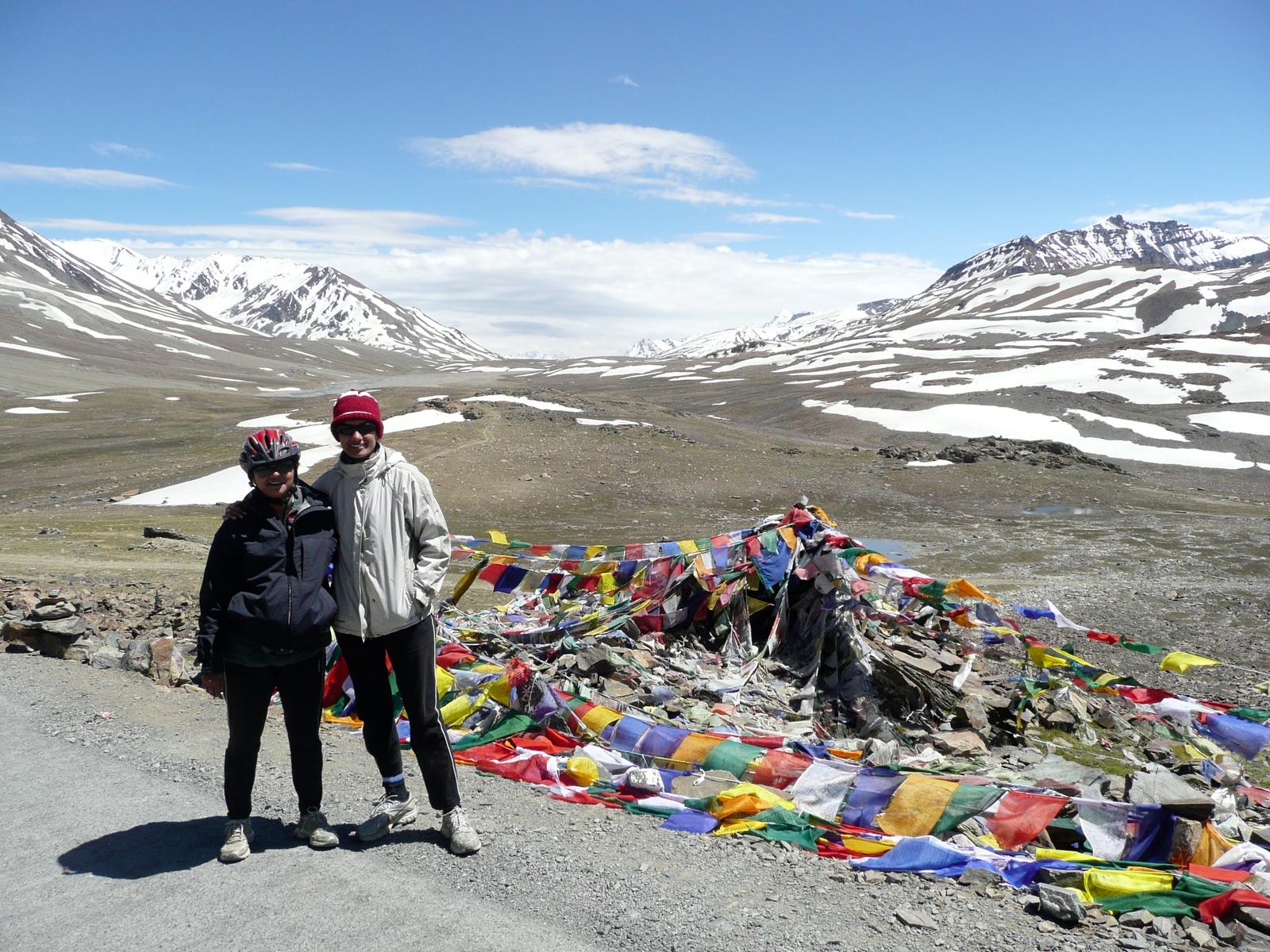
amit mohua saumyen nandini: patseo start. nandini with faithful dog
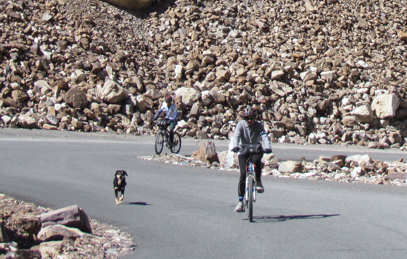
nandini saumyen dog. nandini
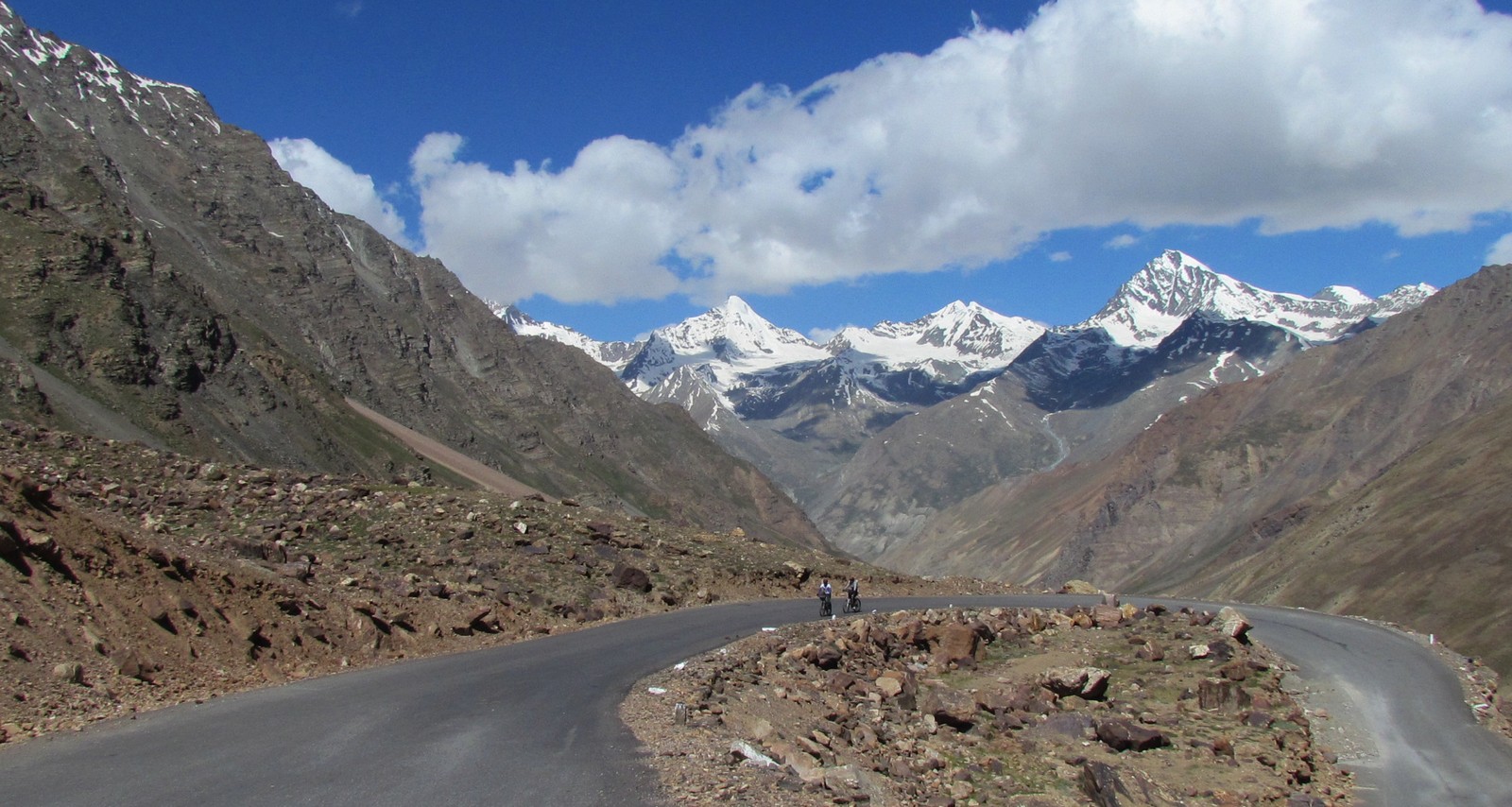
saumyen. nandini - snow peaks
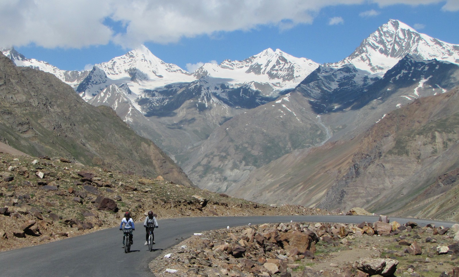
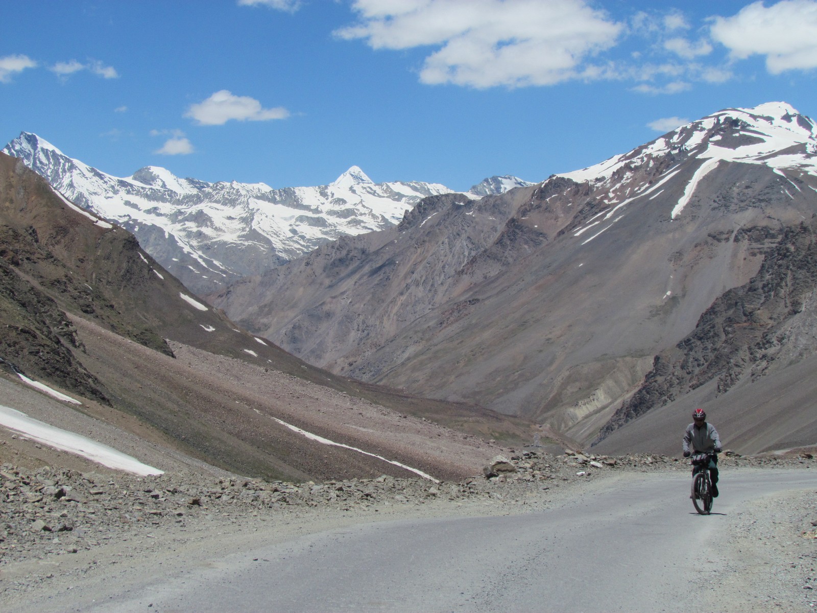
majestic snowpeaks all around us. saumyen nandini approaching zingzingbar.
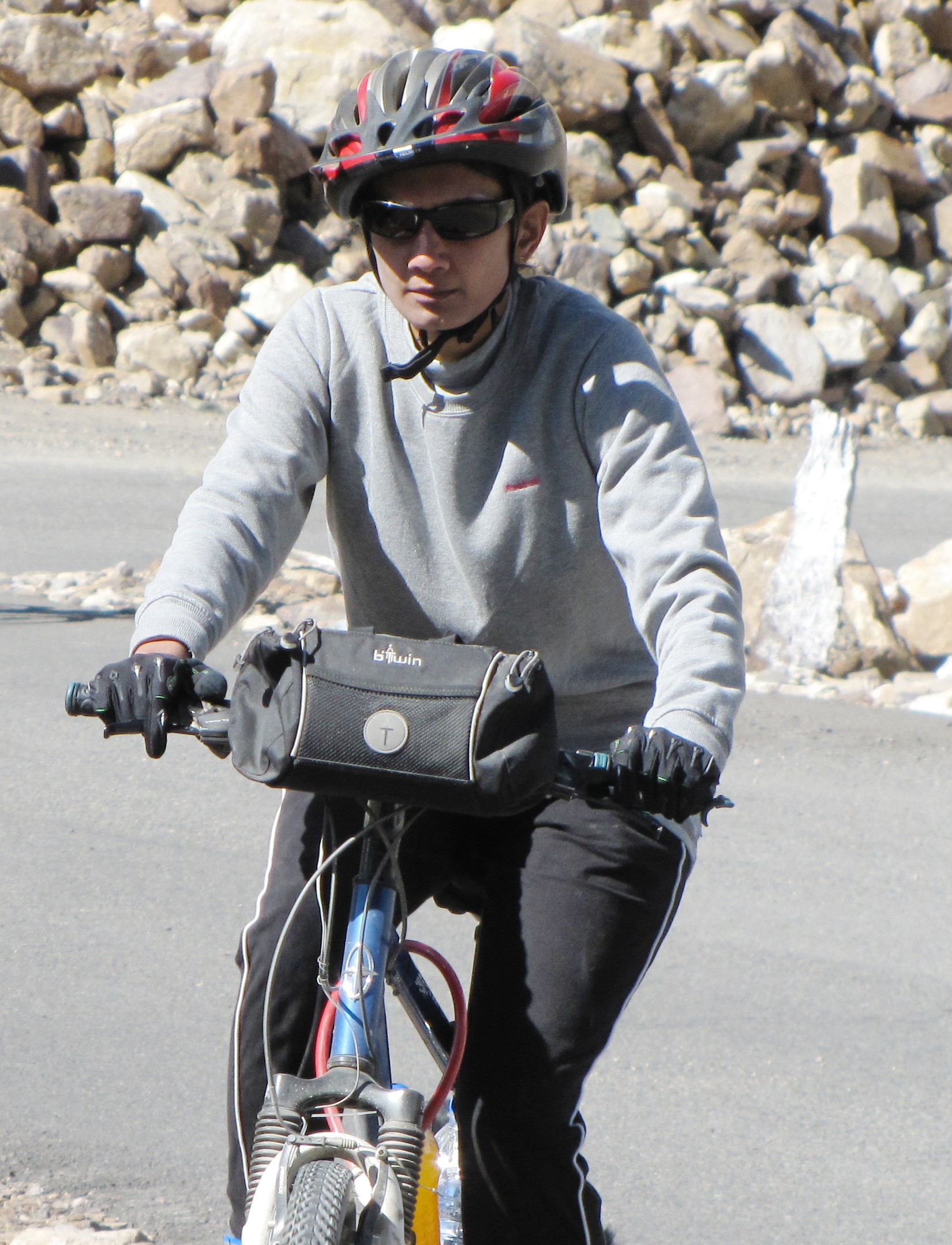
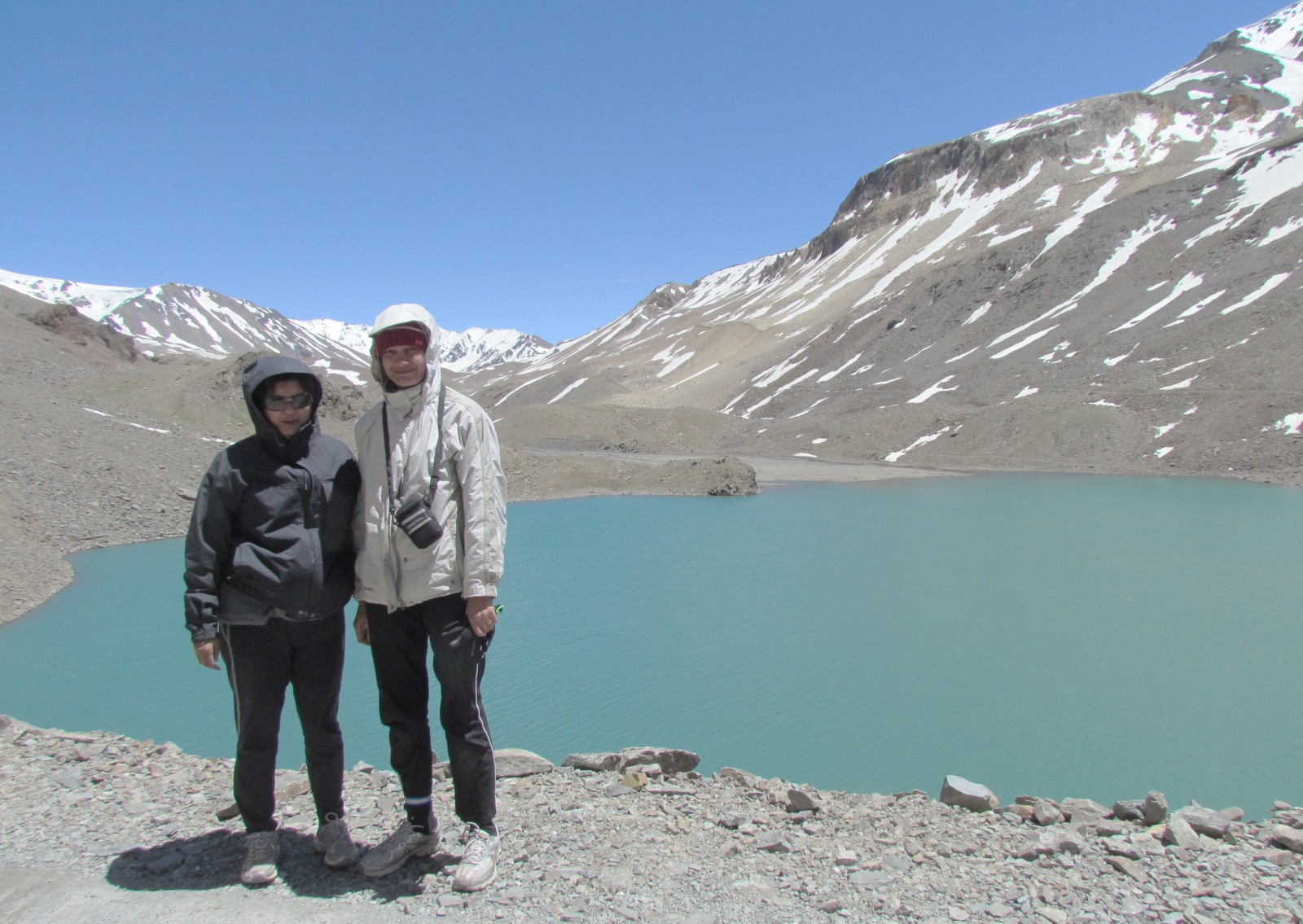
amit and saumyen gear shift fix on nandini's borrowed schwinn FSport: zingzingbar. mohua saumyen amit nandini at surya tal. this is among the highest freshwater lakes in india.
at surya tal: mohua saumyen amit nandini: snow peaks. nandini
amit about to ride mohua nandini walk snow peaks. nandini
suraj tal snow landscape. mohua nandini: barala chala
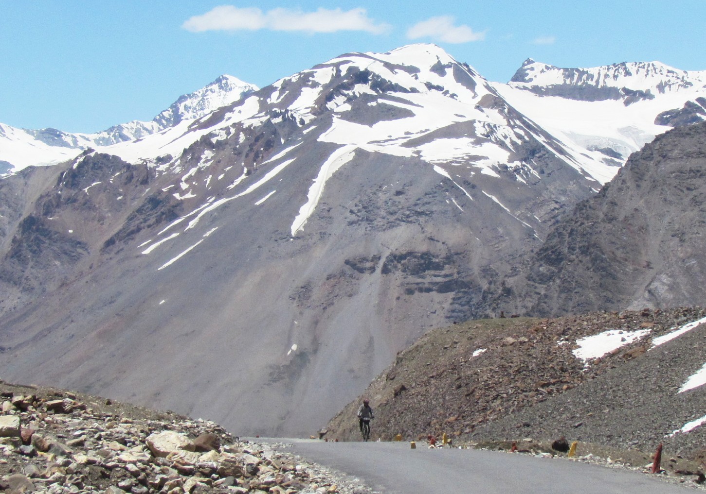
am2. nandini amit saumyen: climbing to barala chala
saumyen - two views
am: snow sky wide
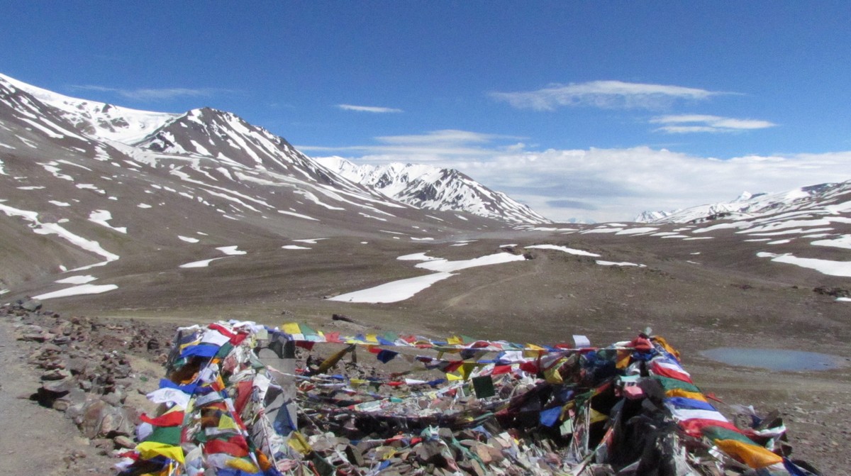
mohua nandini long lost sisters. cha la: landscape
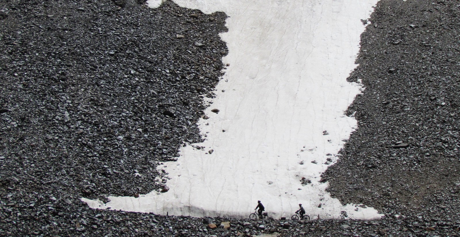
amit saumyen snow field
mohua nandini: partners in crime
Fact sheet patseo to sarchu
JUL 10. Patseo [patso] (3751 m) to Brandy Nalah (4222 m)
CROSS BaraLaChaLa (4918 m) 89.3 Km.
[nonstop 32km climb, 1300m ascent; **** water ****]
10km Zingzingbar 4150 m - puncture shop
15km ? parachute tents in season. 4301m
bridge - last water point before Baralacha La
metalled road ends
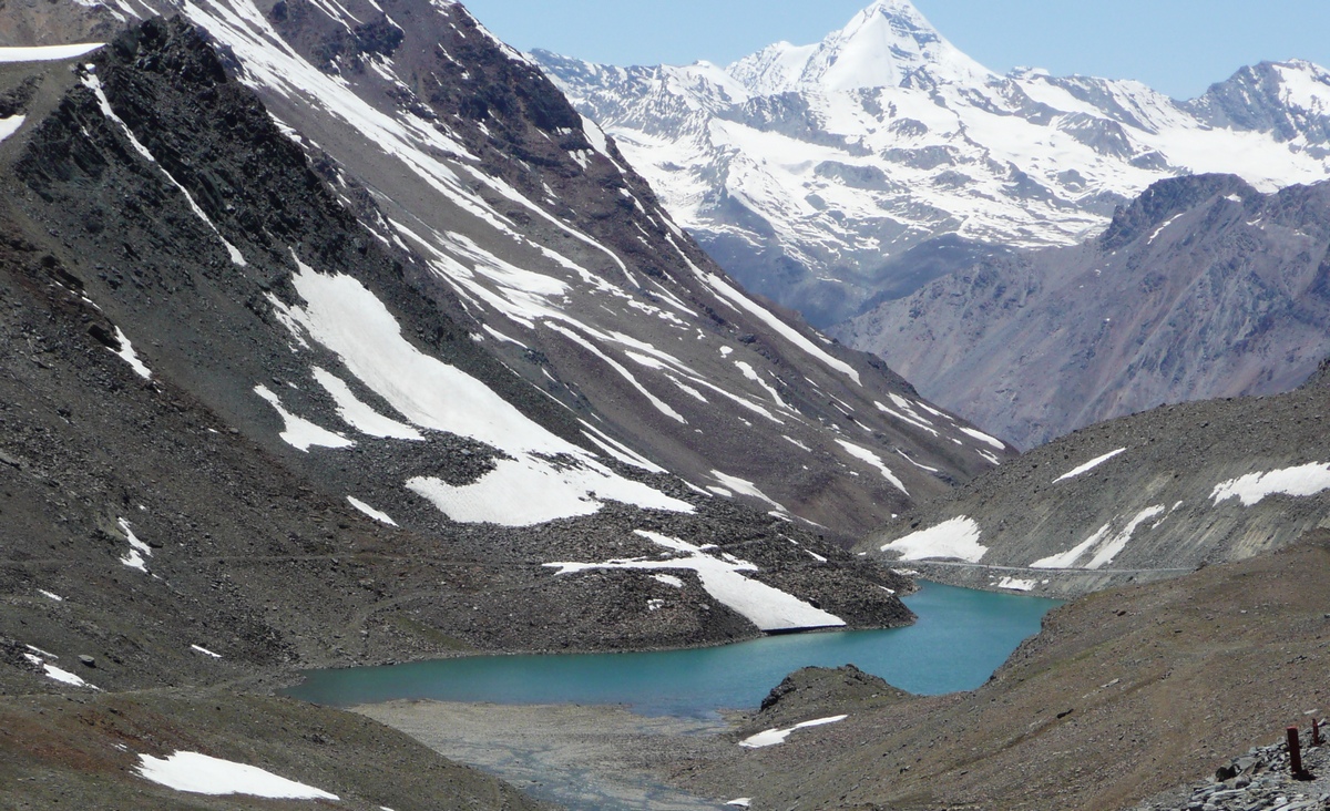
28km? (3km before B'La) surajtal 4750m to the right -
source of bhAgA river 2nd highest lake in India often frozen
32km baralacha la 4900 m [100m higher than mont blanc]
tough non-stop climb over bad roads
35km rough roads descent
38km bharatpur parachute tent village - popular Lunch stop
killi sarai 4600m road going through a valley
62km Sarchu 4250 m
[laura stone has called this "excellent tarmac" - but we found the
climb down from baralachala an interminable pothole. road surfaces
change over completely every winter, it seems. ]
Lodging: we get a 4-person tin hut near the river (beyond the bridge).
* page I: day 0-1: [manali-leh trip homepage] * page III: day 4-6: [sarchu-brandy nala-tso kar-leh]
* page IV: day 7-9: [leh, pangong lake, masked dance, zanskar]
html index automatically created on Sun Jul 29 IST 2012. Last update: 2014 Jun