Bicycle Birding: Bandimata
Bithur BandiMata Chaubepur Pratappur Canal 60km
Apr 9, 2010
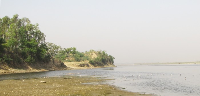
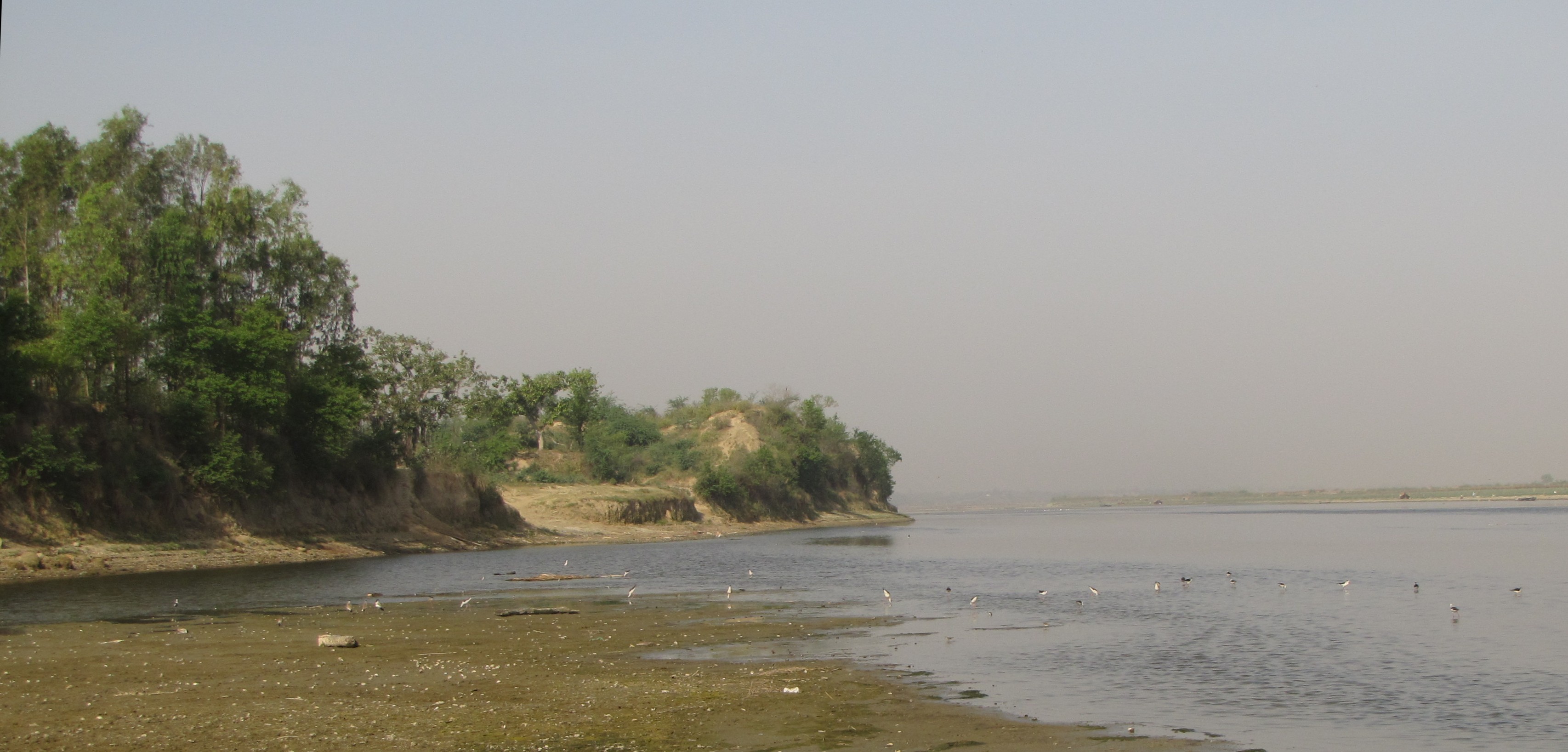
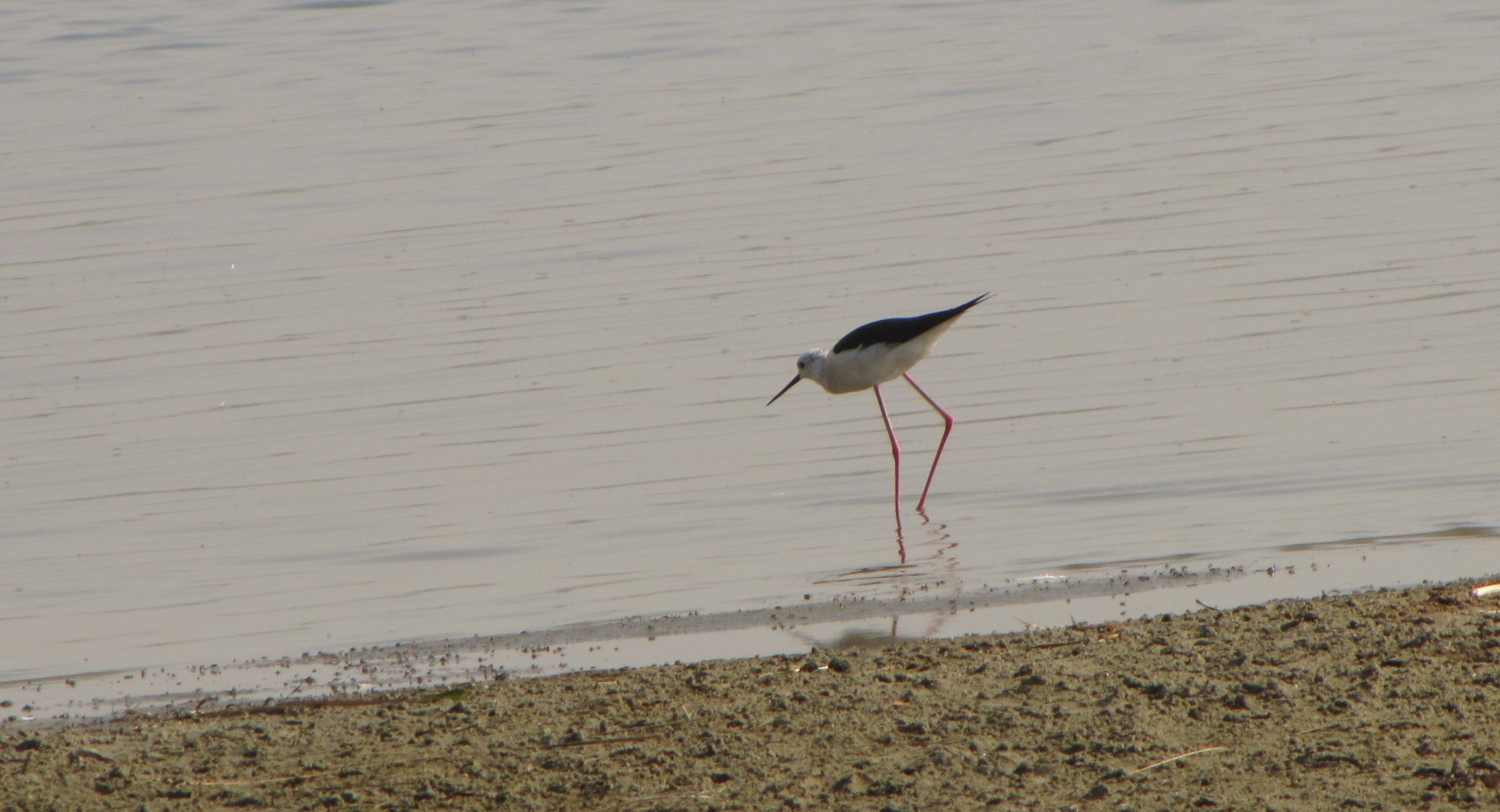
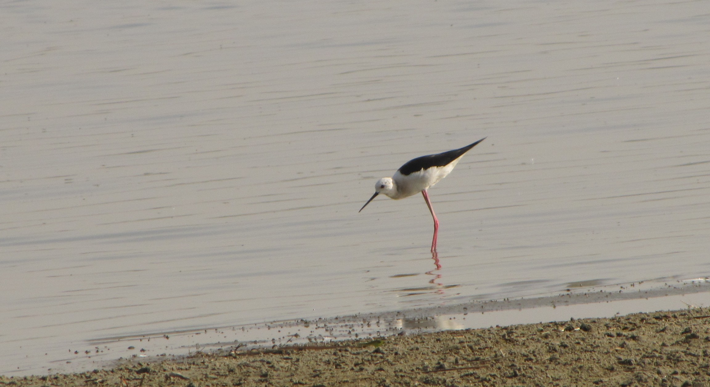
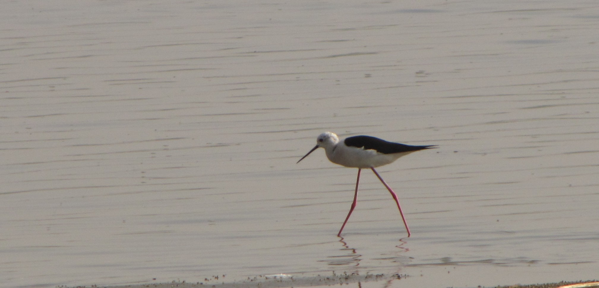
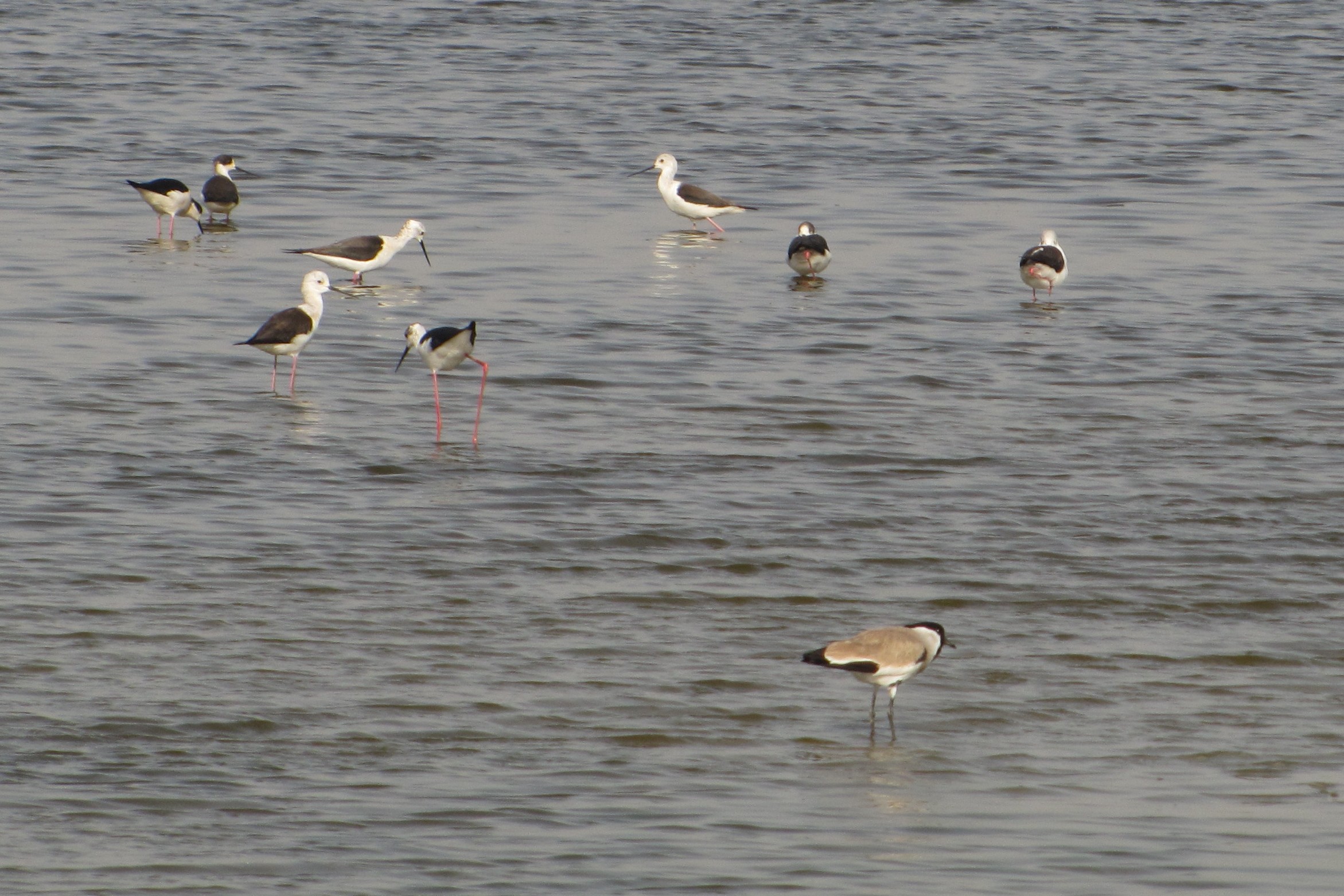
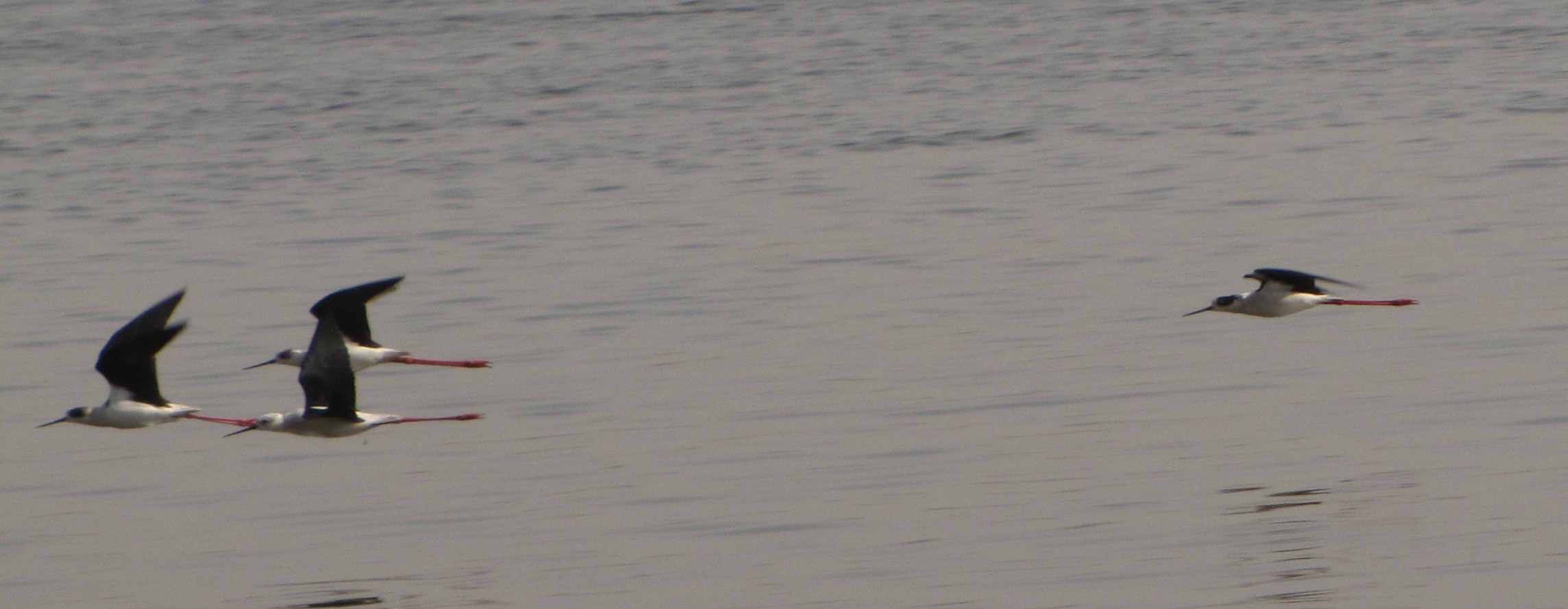
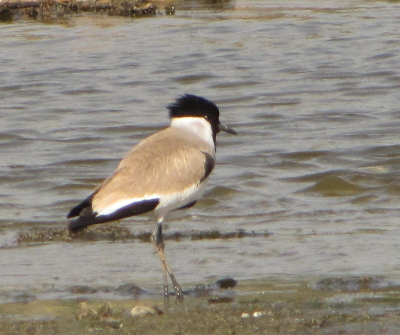
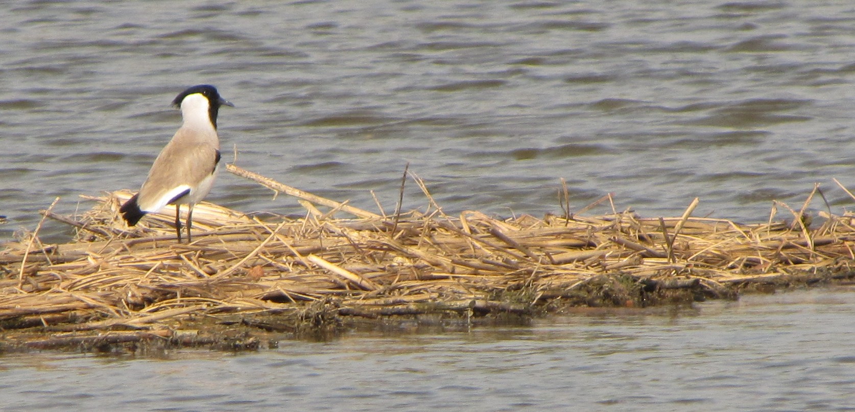
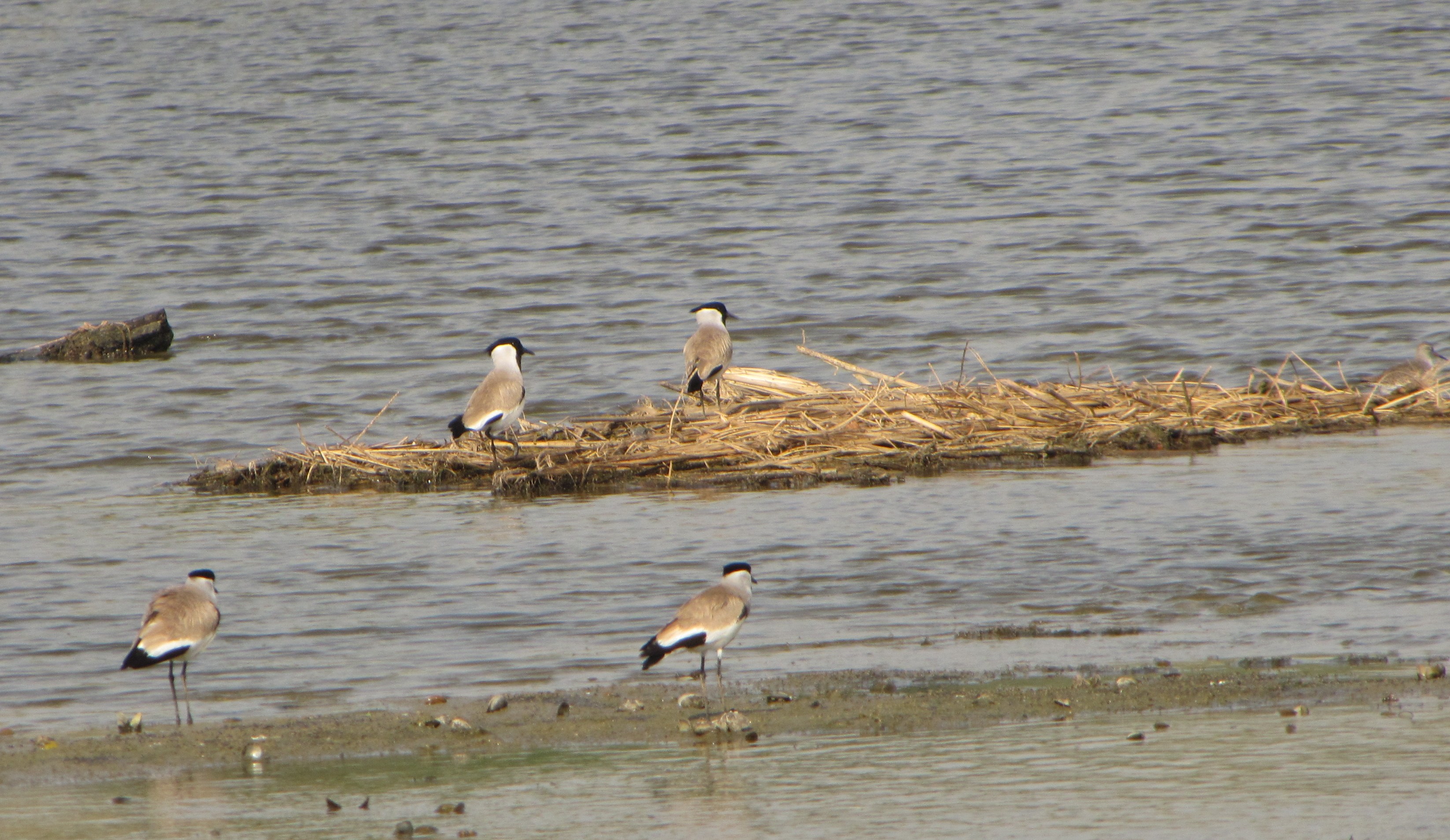
the ganga flowing past mud cliffs in the early morning light, with flocks of black-winged stilts and river lapwings
voyage of discovery: banks of the ganga
we set off to discover the mythic road along the ganga
but like columbus,
we find other treasures...
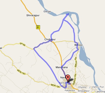
the route to bandimata and back, ~60km. bithur-bandimata-chaubepur segment
is approximate. there are no good maps of the area, and google hasn't
gotten around to it, and anyhow some parts (e.g. along the canal)
are
kacchA so these are my best estimates :)
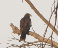
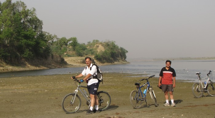
saw this kite on a tree outside joydeep's house, while the troops were gathering...
the heat has been building up since end of march, and bicycling
activities need to be restricted to about three
hours very early in the morning.
every now and then someone tells me of a road that runs
"right beside the ganga." so the goal of today's adventure
was to explore the routes along the ganga upstream from bithoor.
most recently, we heard
there was such a road between bithoor and bandimata. so we set off to
explore the region. via the early morning GT road to mandhana and then
to bithoor (14km). bandimata would be another 11km.
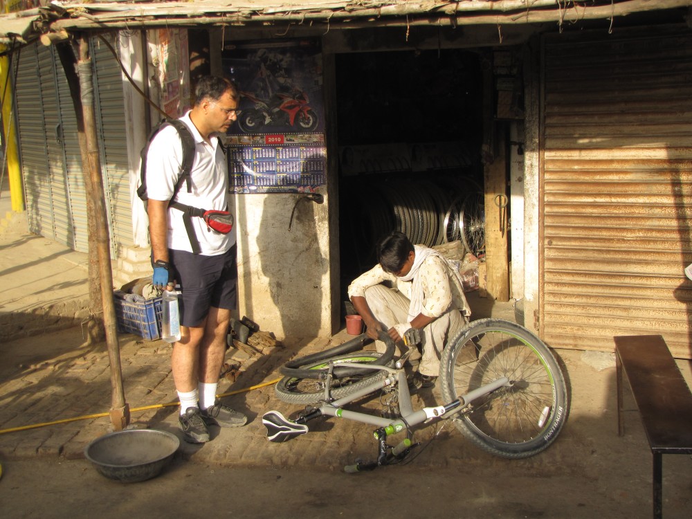
puncture at bithoor
joydeep ran into a puncture near the chungi at bithur; while it was
getting fixed, atul and i went around taking pictures...
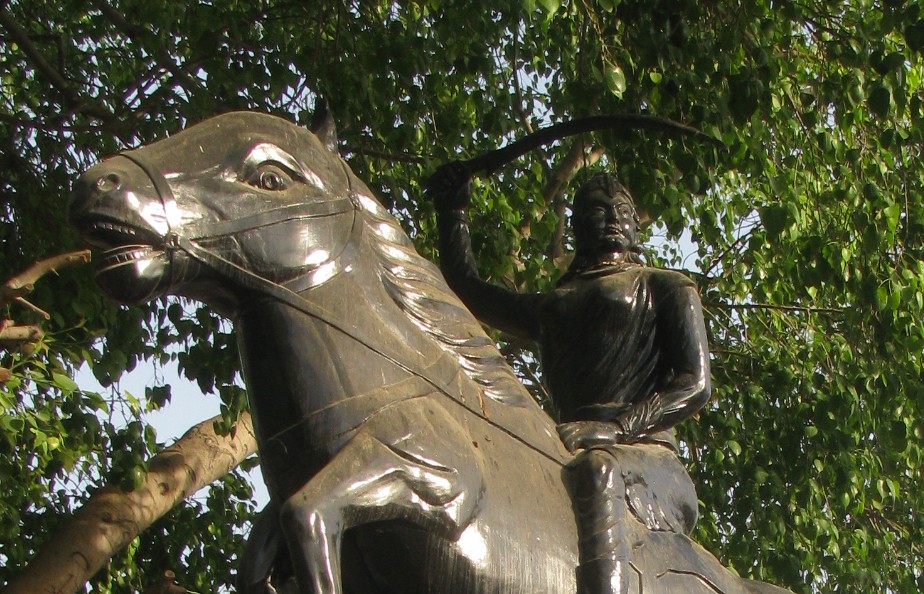
atul was impressed with this statue of laxmibai, who spent
some pre-teen years at at bithur.
somehow, every image of laxmibai shows her
wielding a sword - yet perhaps she actually fought in person on only
one occasion - the very last stages of the fall of jhansi. married at 14, stillborn son at
16, widowed at 18, and dead at 22. a common enough trajectory for thousands of indian
women even today.
laxmibai's life:
married at 14, stillborn son at
16, widowed at 18, dead by 22...
these days, that's when we finish college
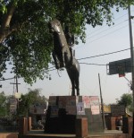

laxmibai at bithoor: forever charging on her noble steed, sword upraised
Bandi Mata
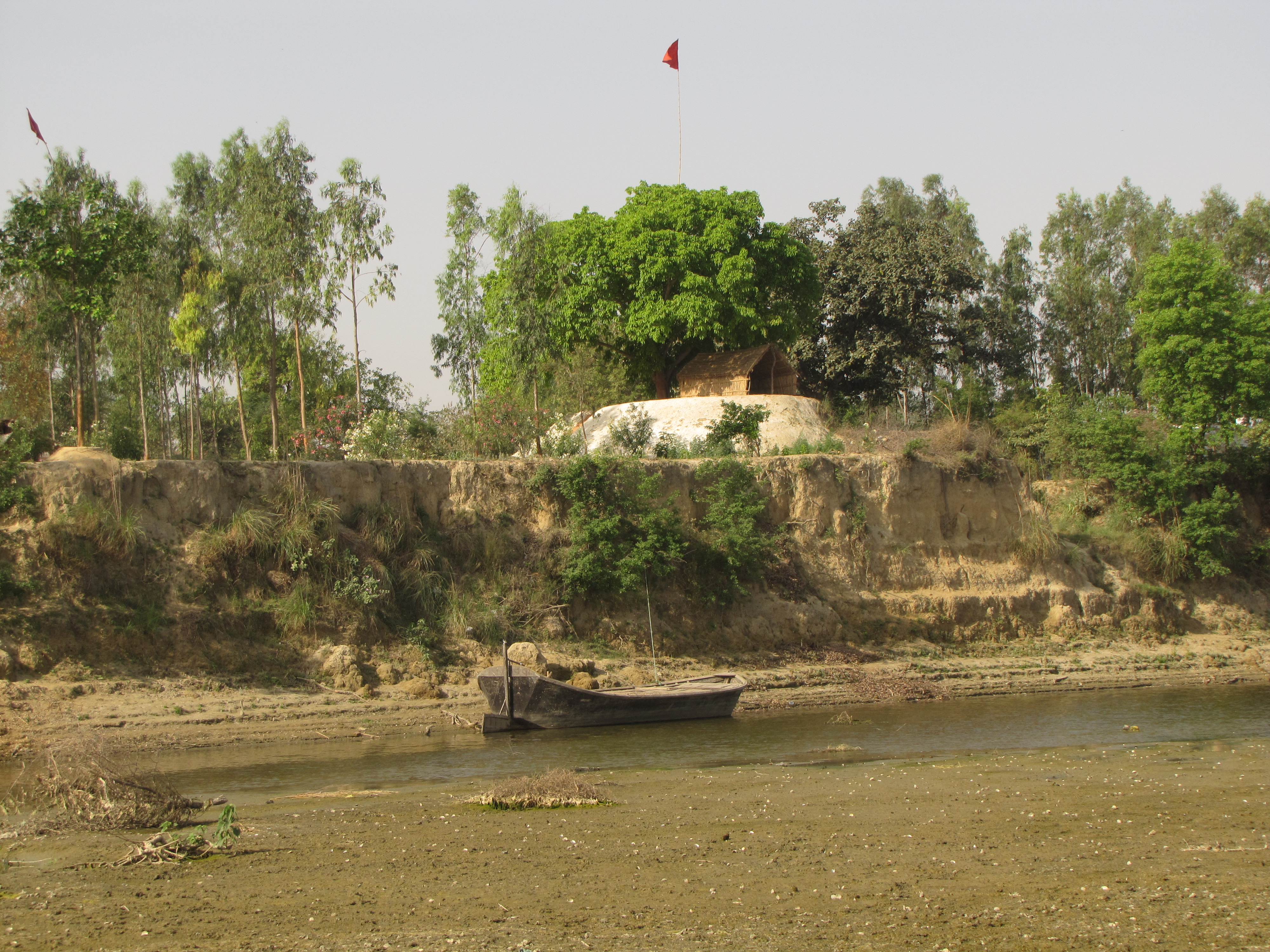
bandimata is a small non-descript village on the ganga between shivrajpur and
bithoor. the name comes from the temple, which has a deity of a goddess,
apparently in chains (bandi = imprisoned).
we'd heard of it only because we once mistakenly took the chaubepur-bandimata
road from chaubepur.
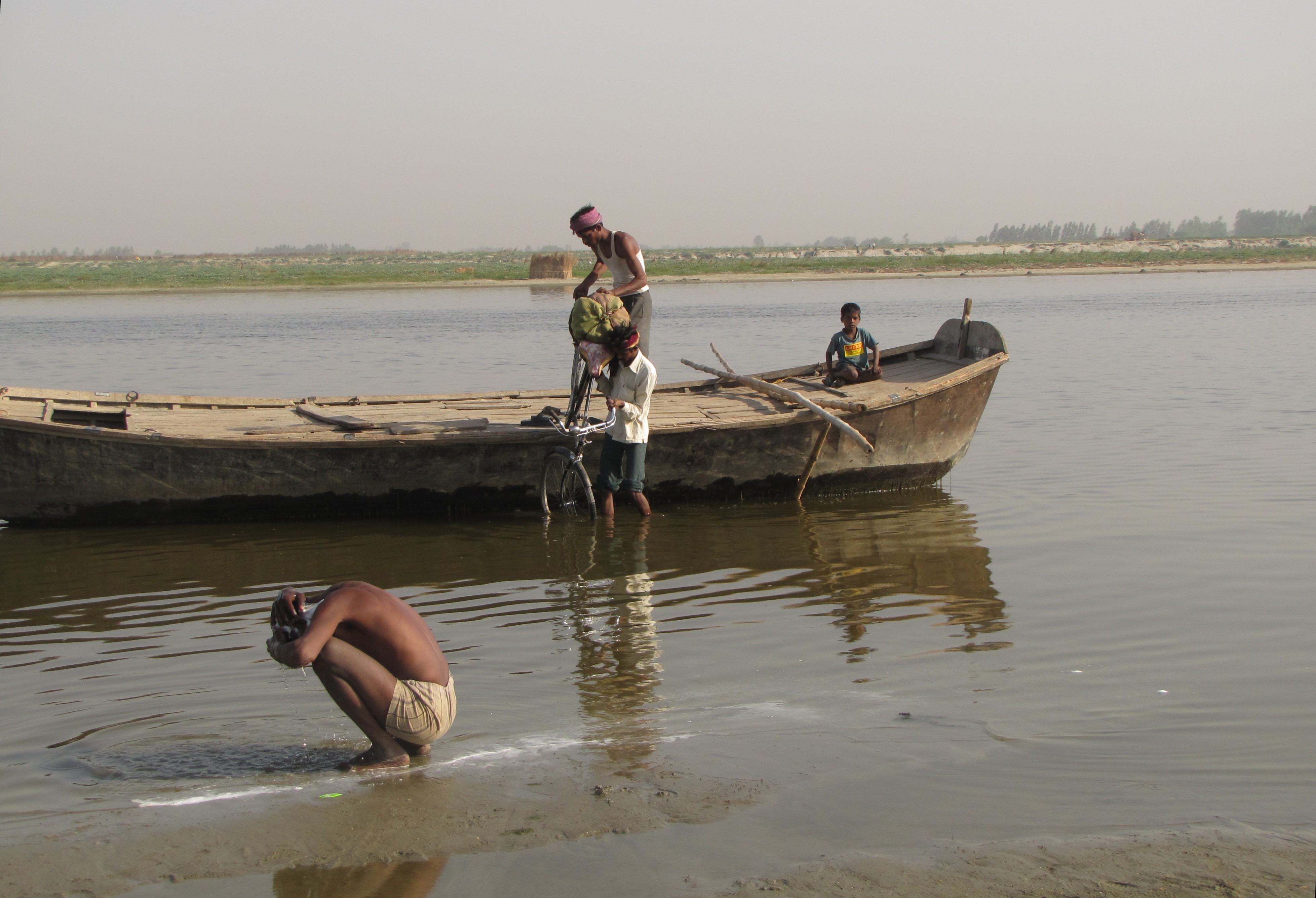
perhaps the ganga is shifting south around here, so the right bank is often
eroded into sharp mud cliffs, while the left bank is a treacherous
sandbank which in the non-rainy season grows some of the best cucumber and
gourd and watermelon.
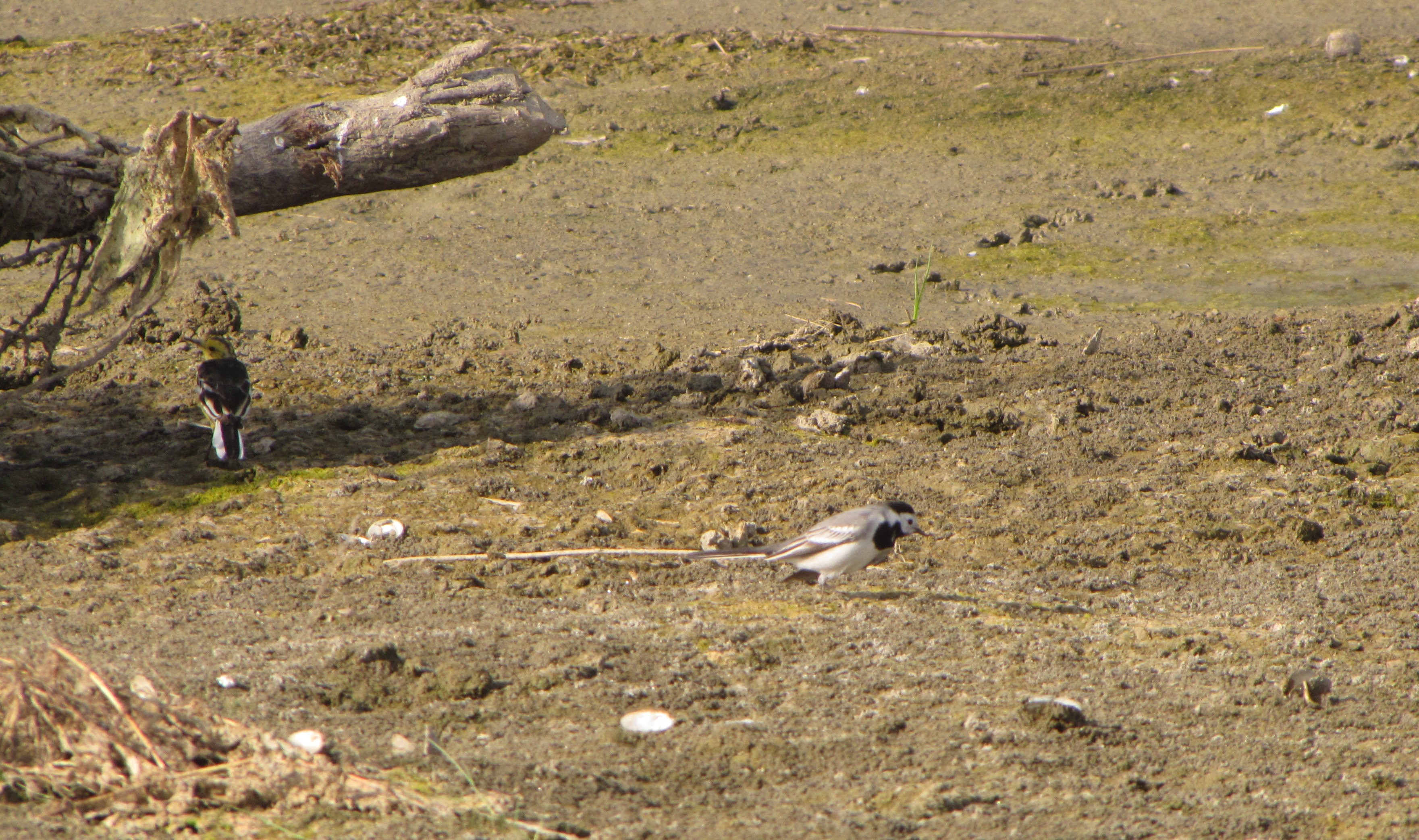
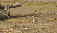
at bandimata, a flock of black-winged
had gathered in the lee side, along with river lapwings, and what
looked like wood sandpipers. a large flock of openbills were foraging in
the distance.
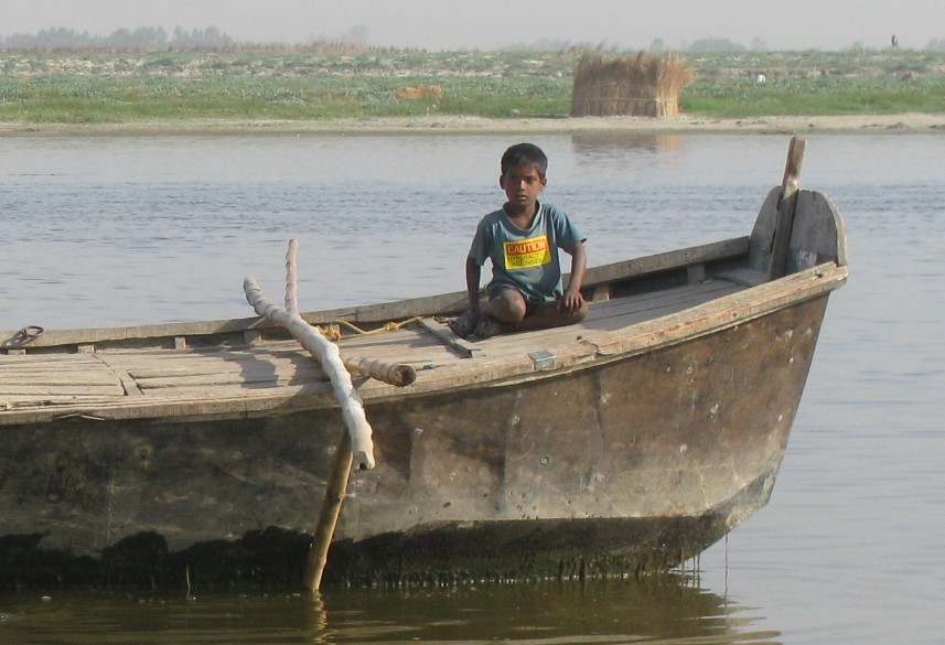
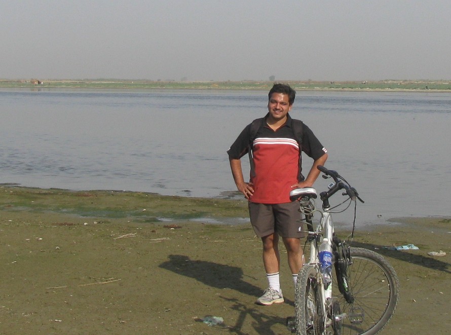
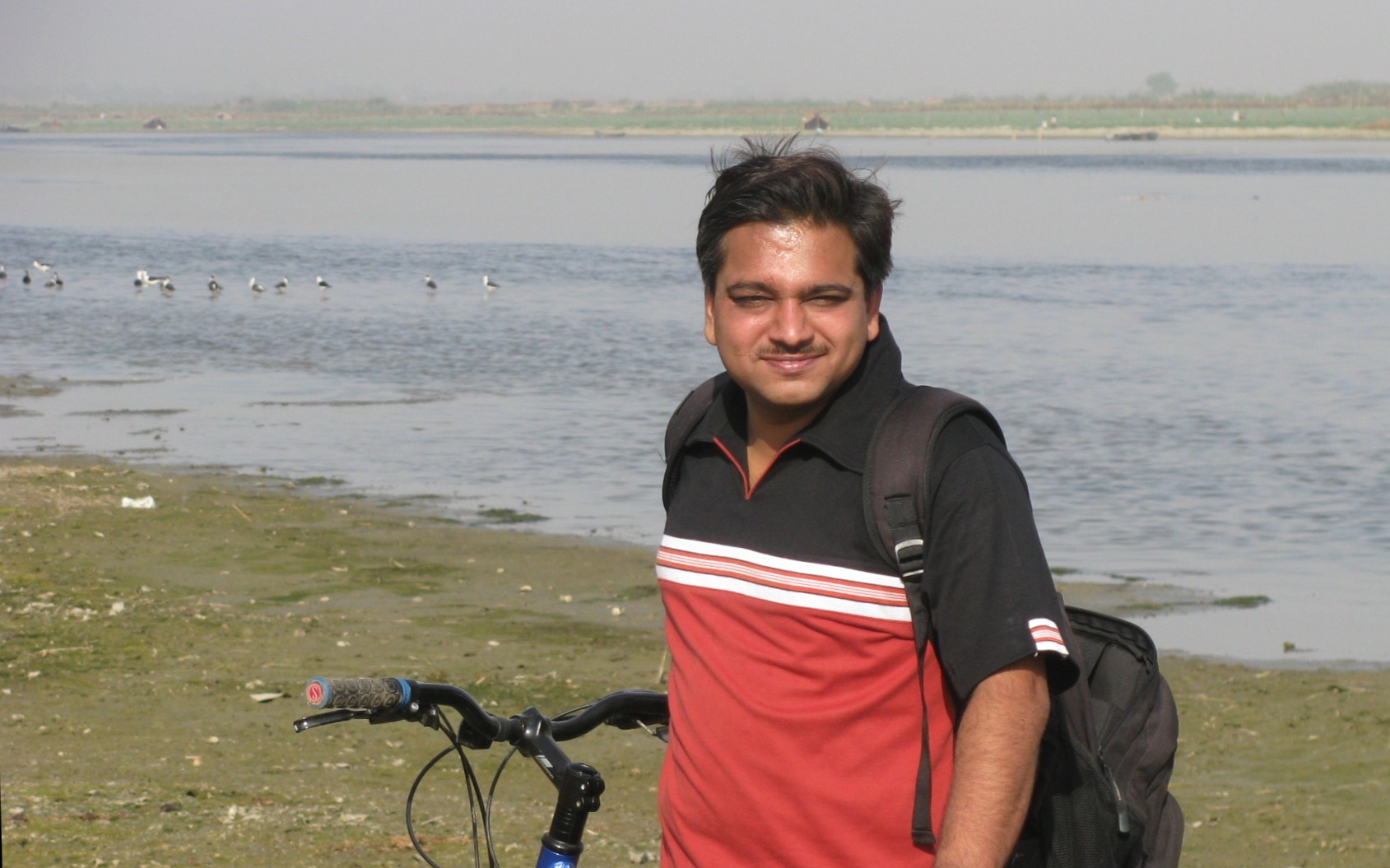
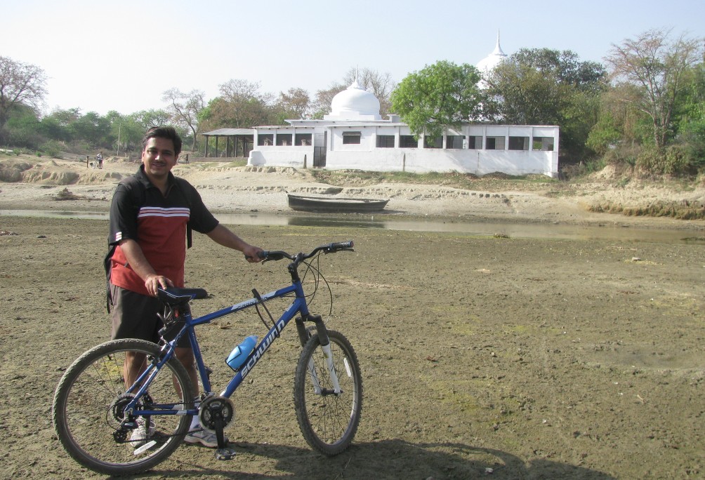
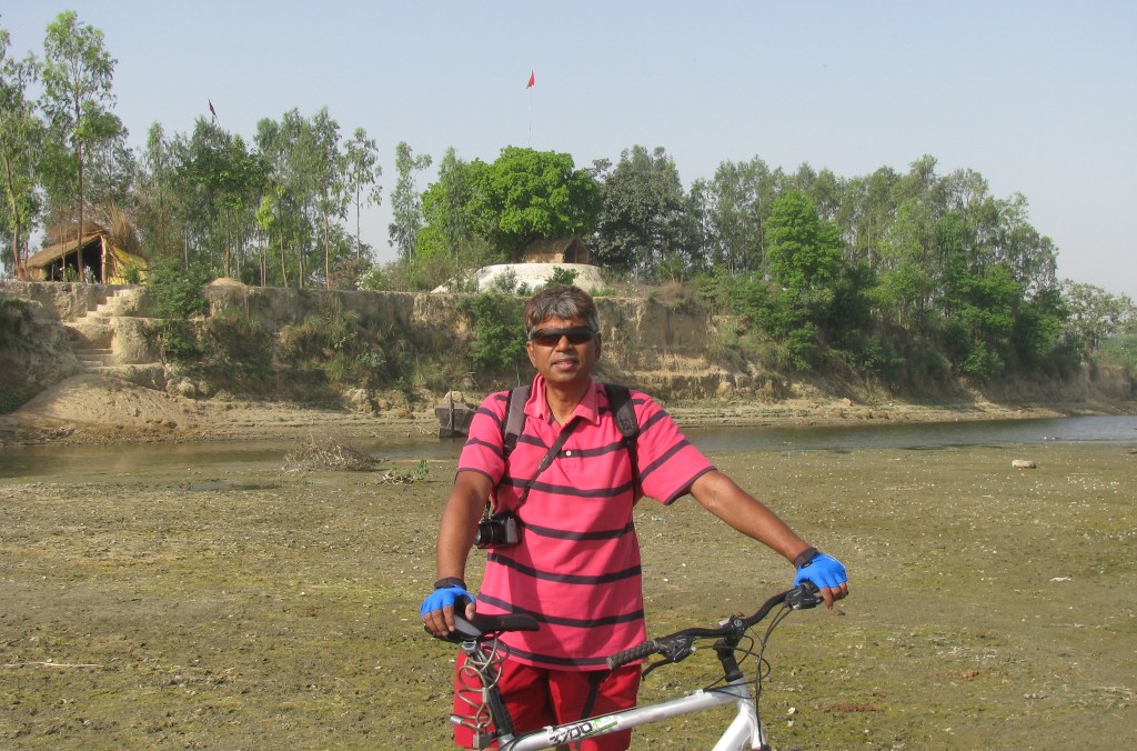
river sands. joydeep and atul - and my bicycle!

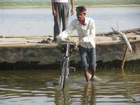
river crossings. driving through the water can't be good for the hub bearings
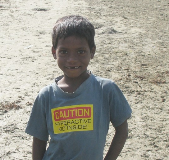
arpit's t-shirt says: "hyperactive kid inside"
perhaps he has no one
who can read him that message

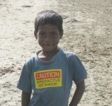
atul was quite taken by this boy's t-shirt. his name
is arpit, and we met him again on another trip a few days later
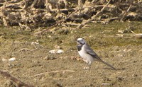
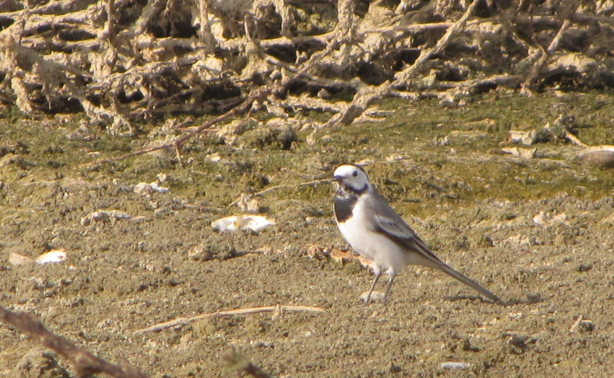
wagtails, white and yellow

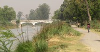
landscape at bandimata, earthen temples with flags and neatly-cut stairways
going down to the river
heading back

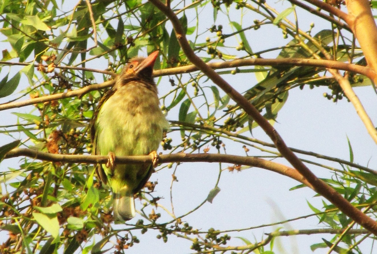
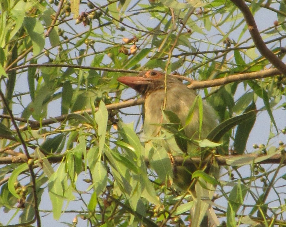
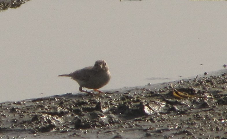
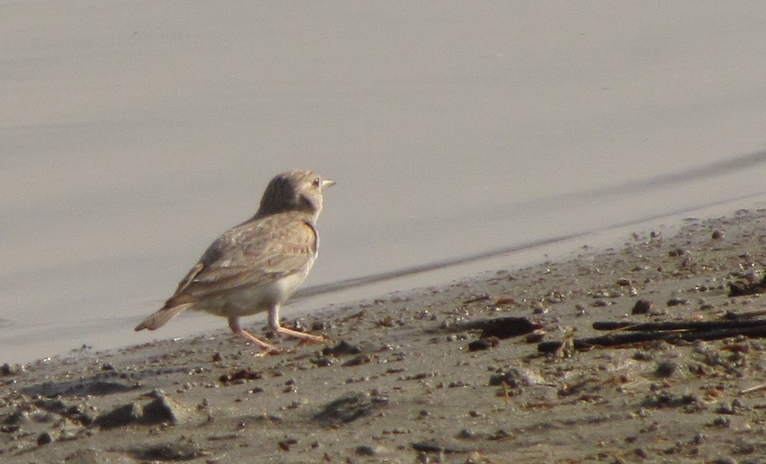
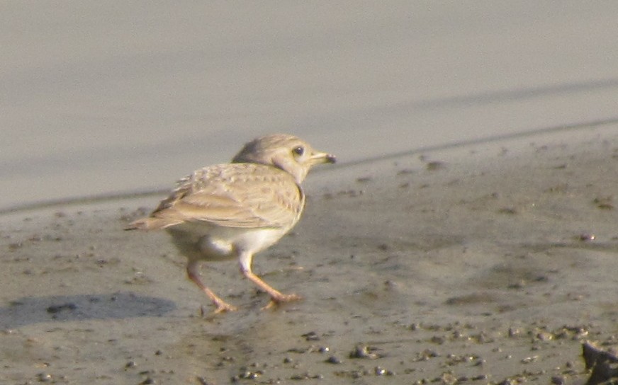
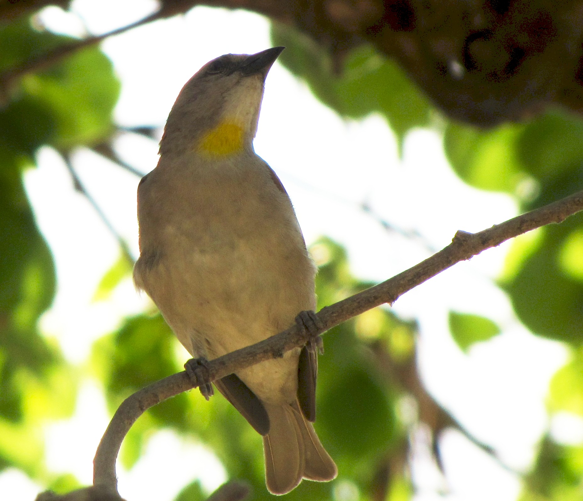
a yellow-throated sparrow or petronia - the bird that got salim ali
interested in birding - seen at raigopalpur.
after bandimata, we took the road to chaubepur (9km), and then we went by
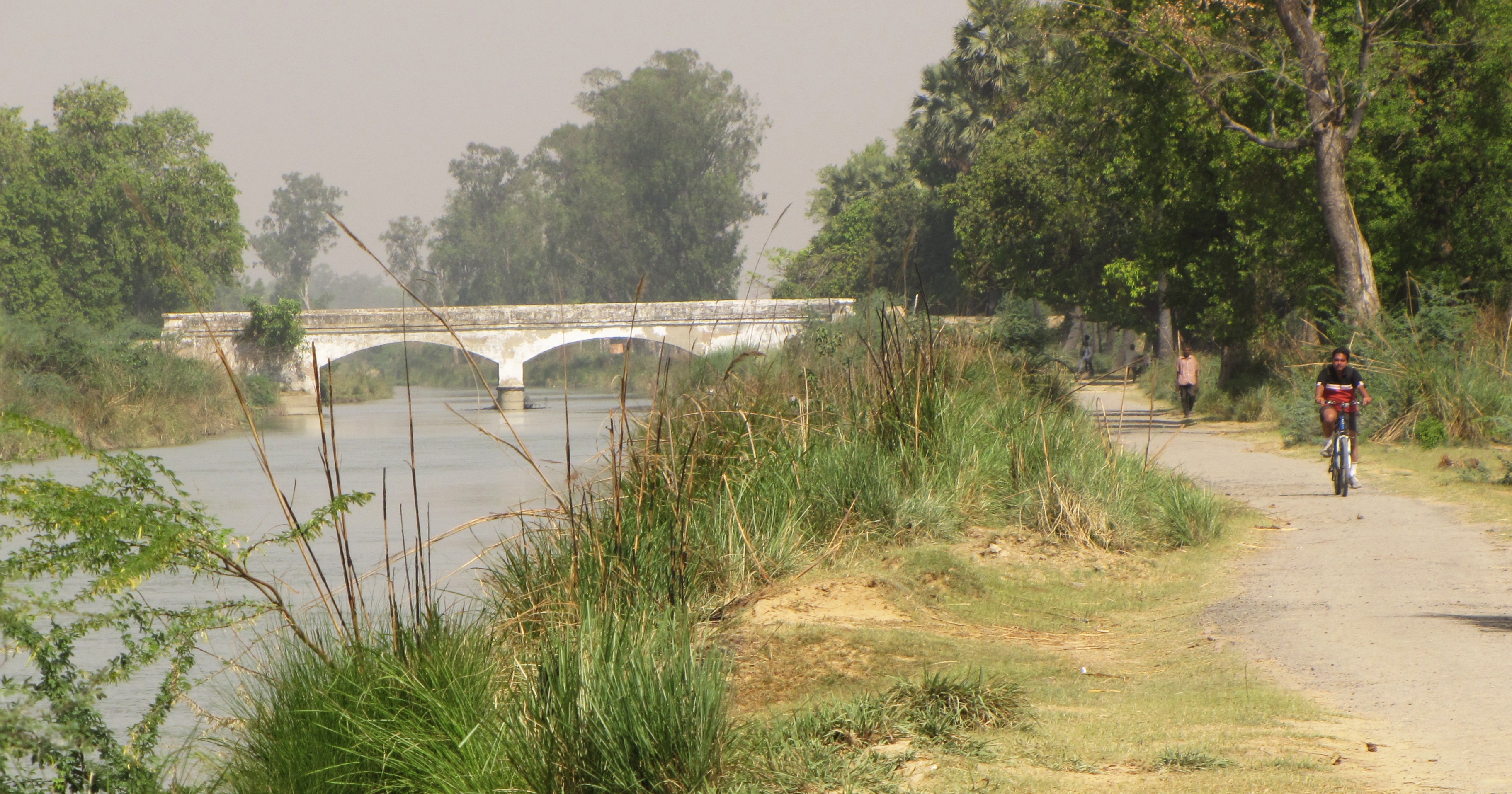
the Chaubepur-Shiwali road to the canal at Pratappur (6km), and then back
home (17km) with a mandatory stop at Manish Tripathi's ricemill. The last
bit went off at a good pace, thanks to a domestic pressures - and also the
heat was building up... the entire trip was about 58km, and it took us just
over four hours, despite a one hour halt at Bandimata.
by 10am, the sun was quite fierce...
atul rushing to catch up with us near manish tripathi's rice mill at
Raigopalpur.
it was 10 am by now, and we were already past our deadline
for getting back.
Approximate route map:
gmap-pedometer.com/?r=3674224
Note: the unmarked roads from bithoor - bandimata -
chaubepur is pure guesswork. probably bandimata is a
bit higher than the point i marked.
amitabha mukerjee Mon Apr 26 mukerjee [at] gmail