as you pedal, you feel a rhythm in the air.
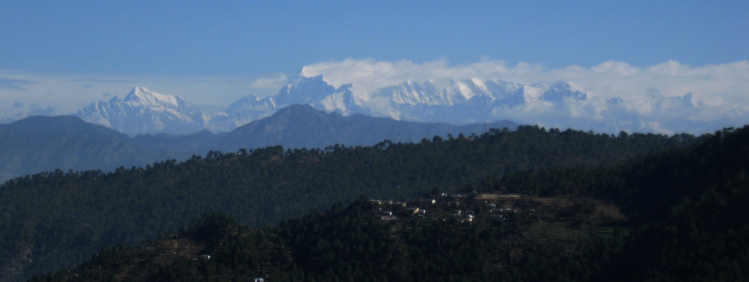
at every turn, beyond the precipitous drops, the long panorama of snow peaks.
there's a rhythm in your pedals, a cadence of ninety.
the air is crisp, with a slight nip.
there's a rhythm in the morning, tA-dhin-dhin-nA,
the river you climbed up from glistens far below
there's a rhythm in the pink peach-blossoms
there's a rhythm in your life.
for several hours, i thought of dropping out
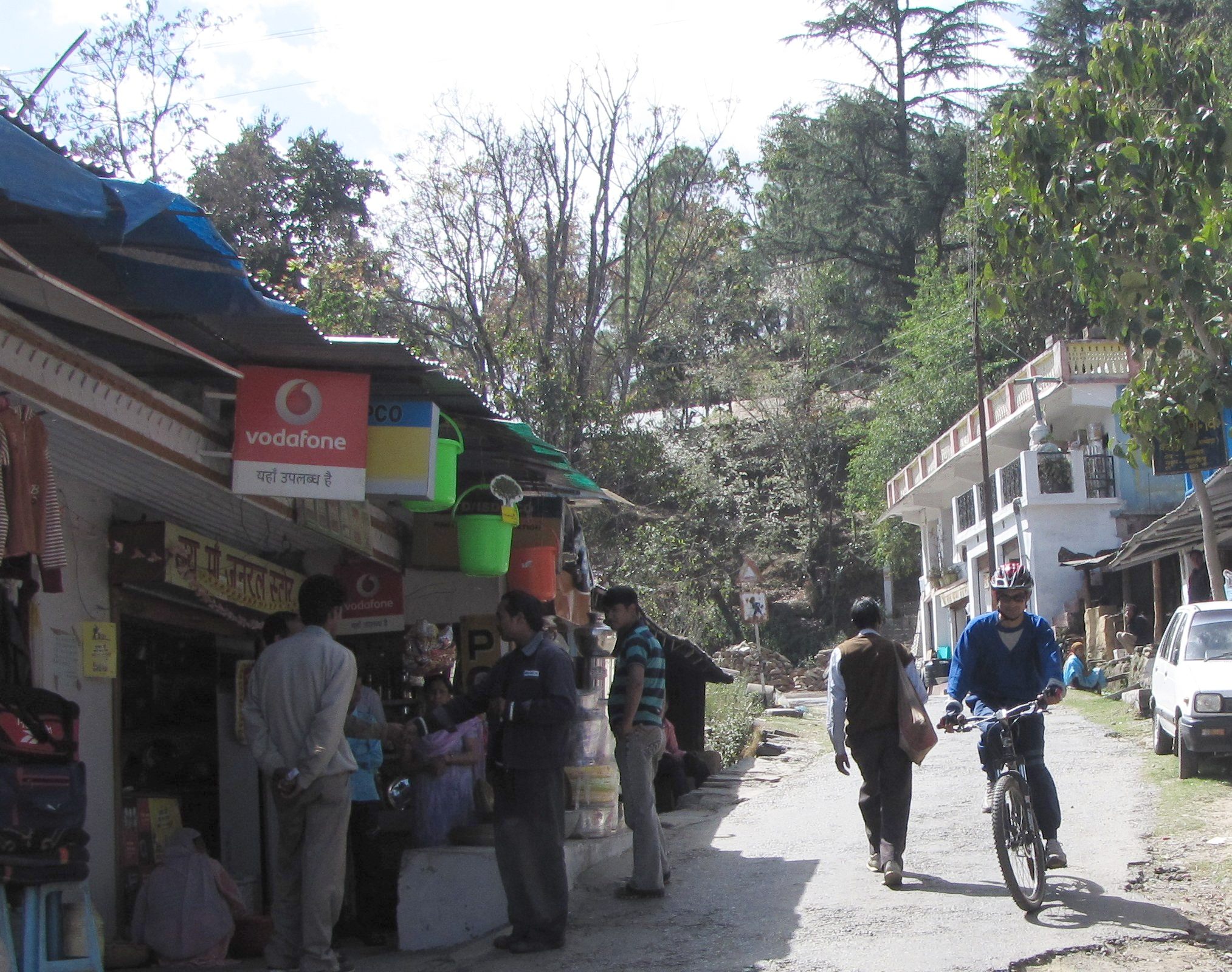
early on march 2 saumyen and mohua left for ranikhet with mohua's parents. soon after they left, joydeep, whose bp had been borderline, was told by his doc that he needed to stay under observation, and that he would have to cancel the trip. this was very unfortunate - had he told me a few hours back even, i could have driven out with saumyen. for several hours, i thought of dropping out as well, but i remembered ripu singla. after a bike ride a few days ago, he had been lamenting about having missed out on an adventure vacation. last year, ripu had gone with the adventure club on a simla to kaza pass bicycling trip, so he was a strong rider too. fortunately, after a few hectic calls to his parents, ripu managed to come on board.
so on 2nd evening, ripu and i set off for the hills, with our bicycles in the back of a qualis. our plan: drive through the night and hope to put in some cycling tomorrow itself...Click any image to enlarge

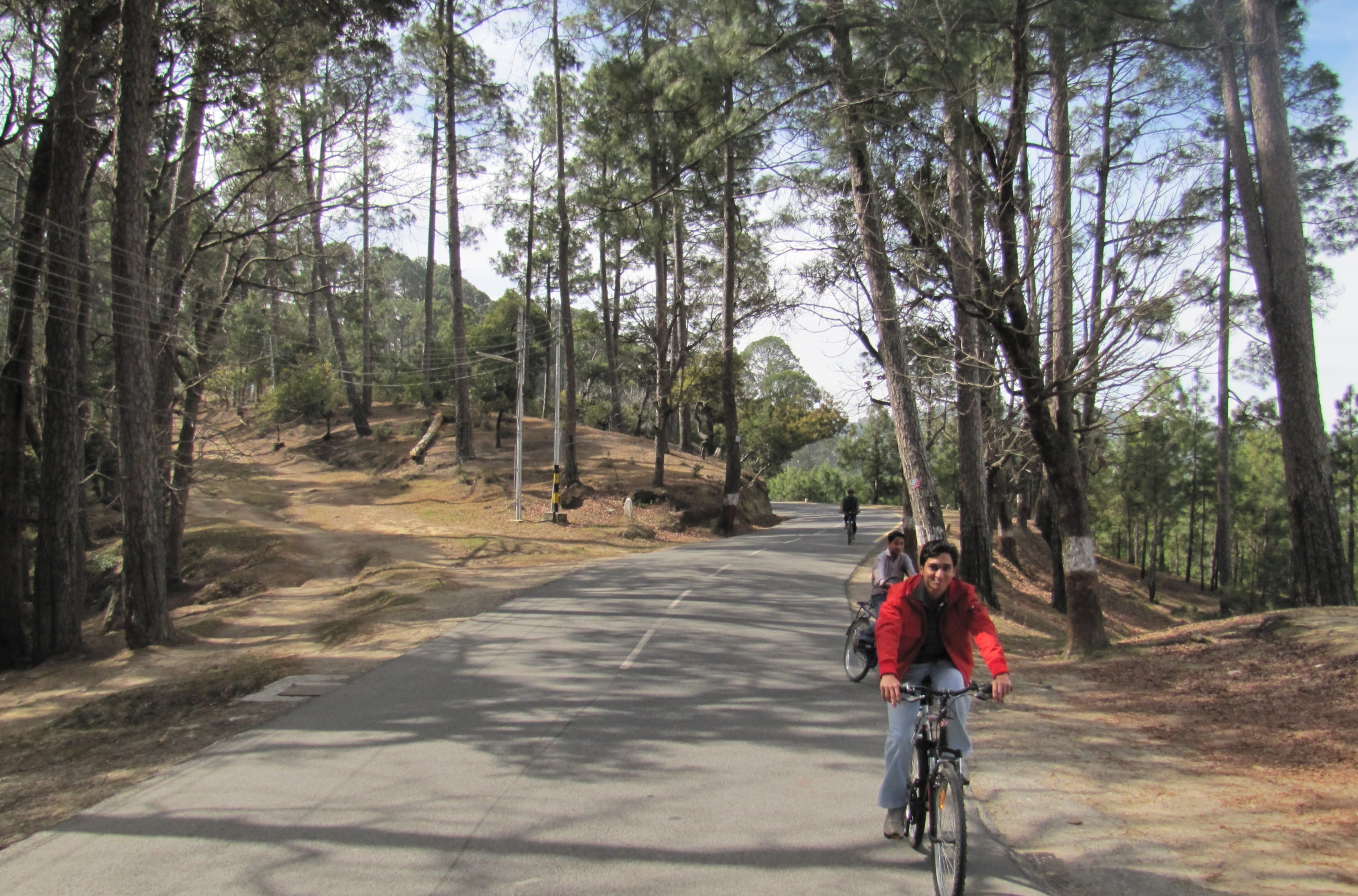
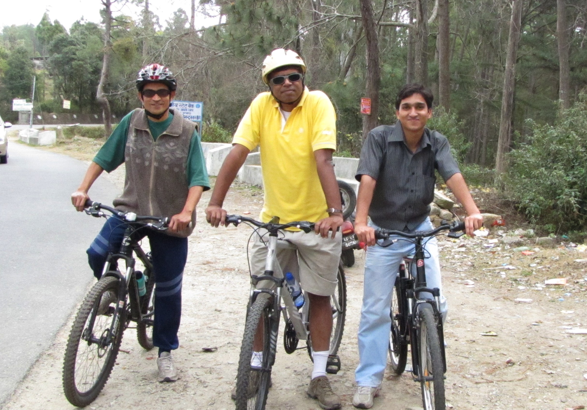
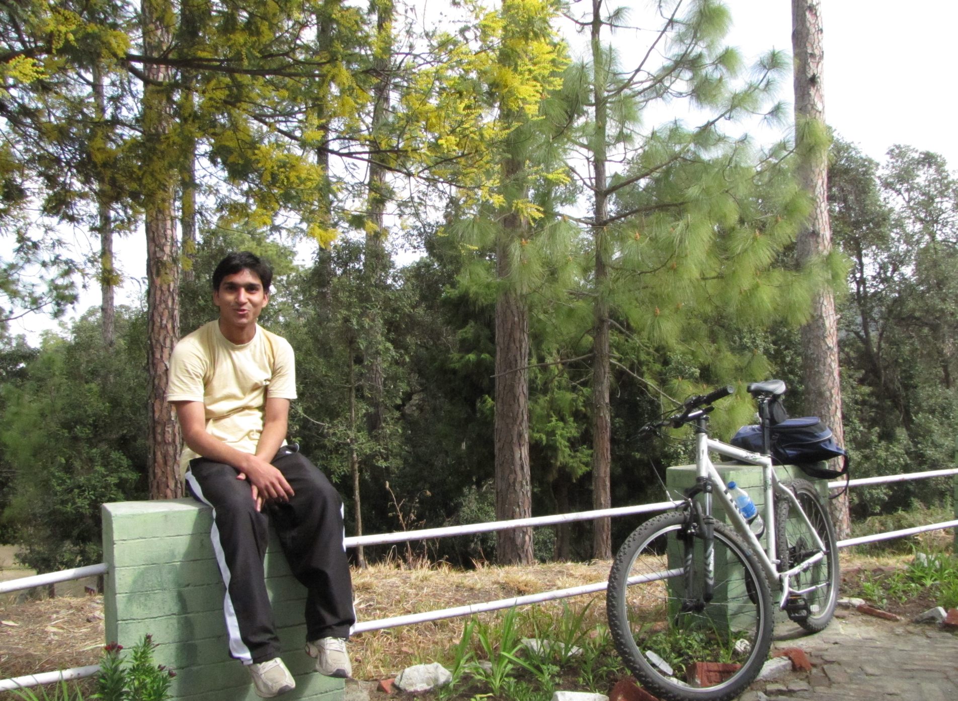
Saumyen, Ripu and Amit at Sitlakhet, right after the grinding 10km climb from Kathpuria. Photo by Mohua
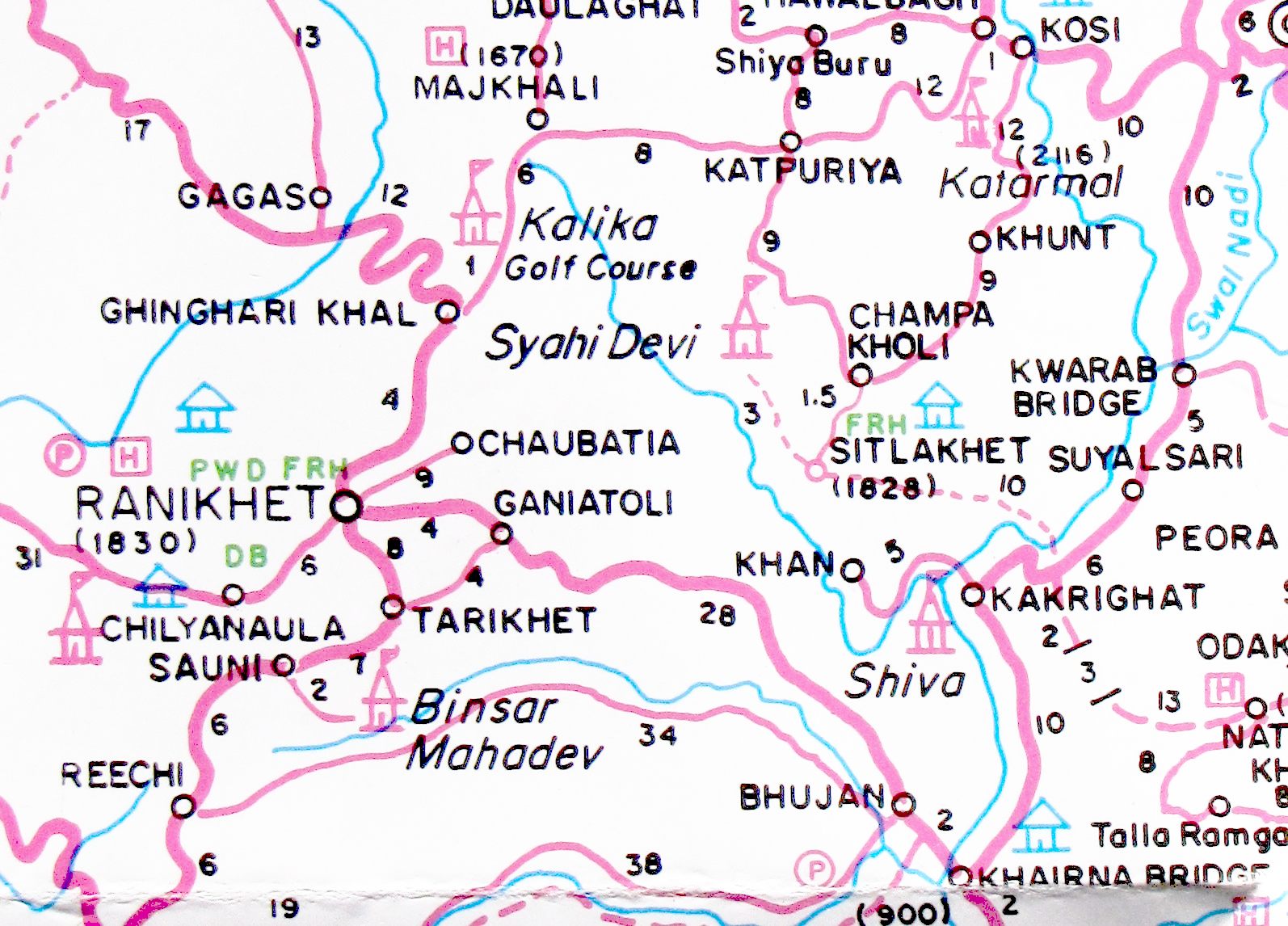
area map (from Nest & Wings foldout Uttaranchal map). there's a highway shown from ranikhet to tarikhet (8km) but the only road we found runs through ganiatola. Also, there is a direct exit to Chaubatia off the highway, some 4km before Ganiatola.
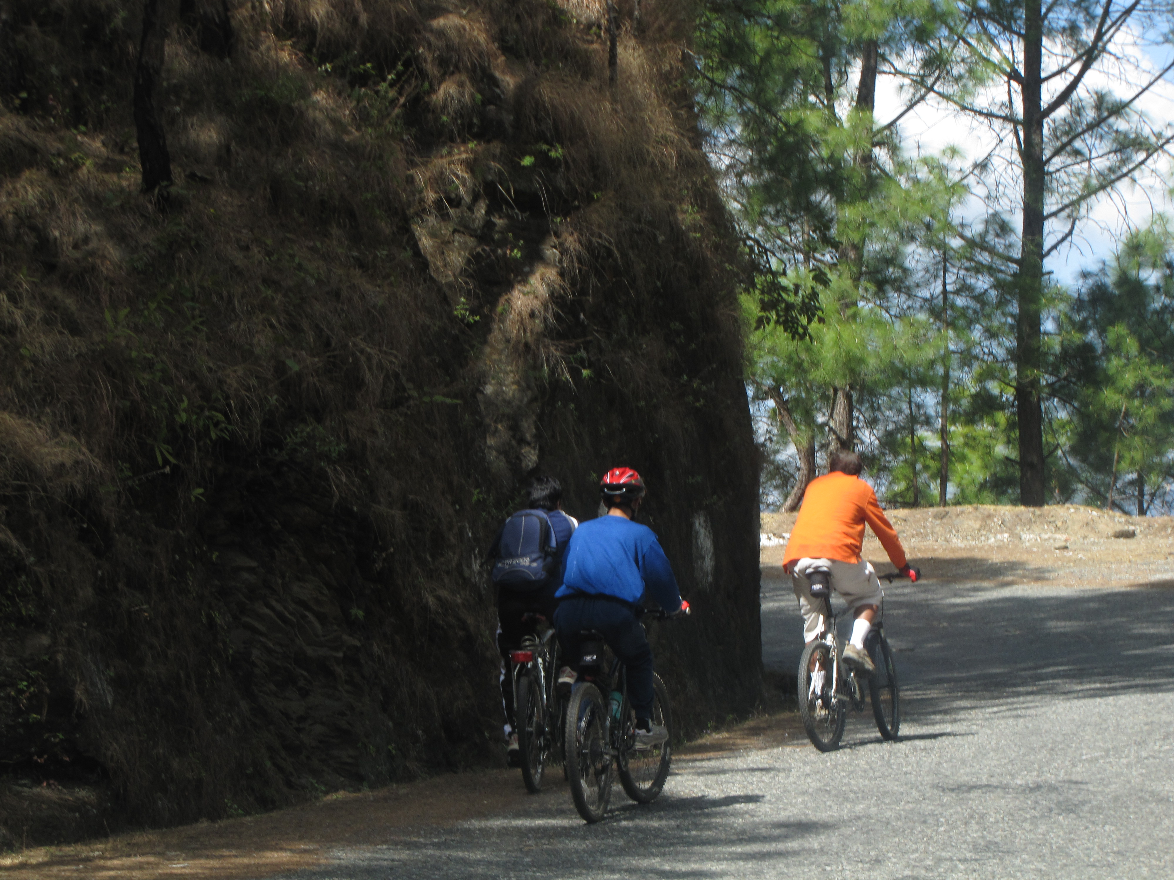
- 0600-0700: initial Chaubatia climb: 12km [Ripu and Amit]
- 0900-1330: Chaubatia KMVN-Cantt-Somnath dwar (6km) - Golf course - Gingarikhal tea shop (+4) - Ranikhet market - handloom shawl / tweed store - kmvn (+10=20) - Chaubatia top / garden (+16) = 36km
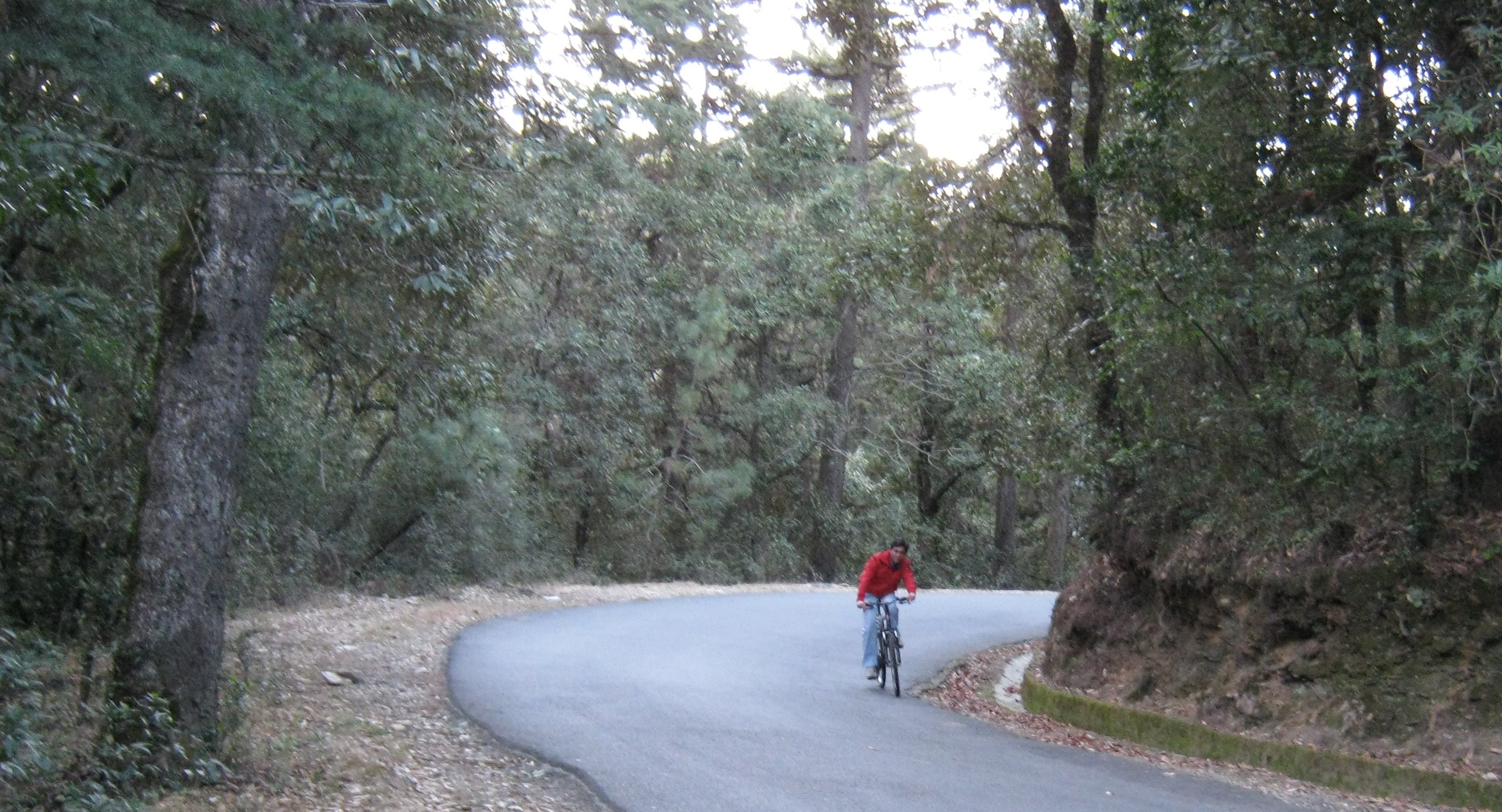
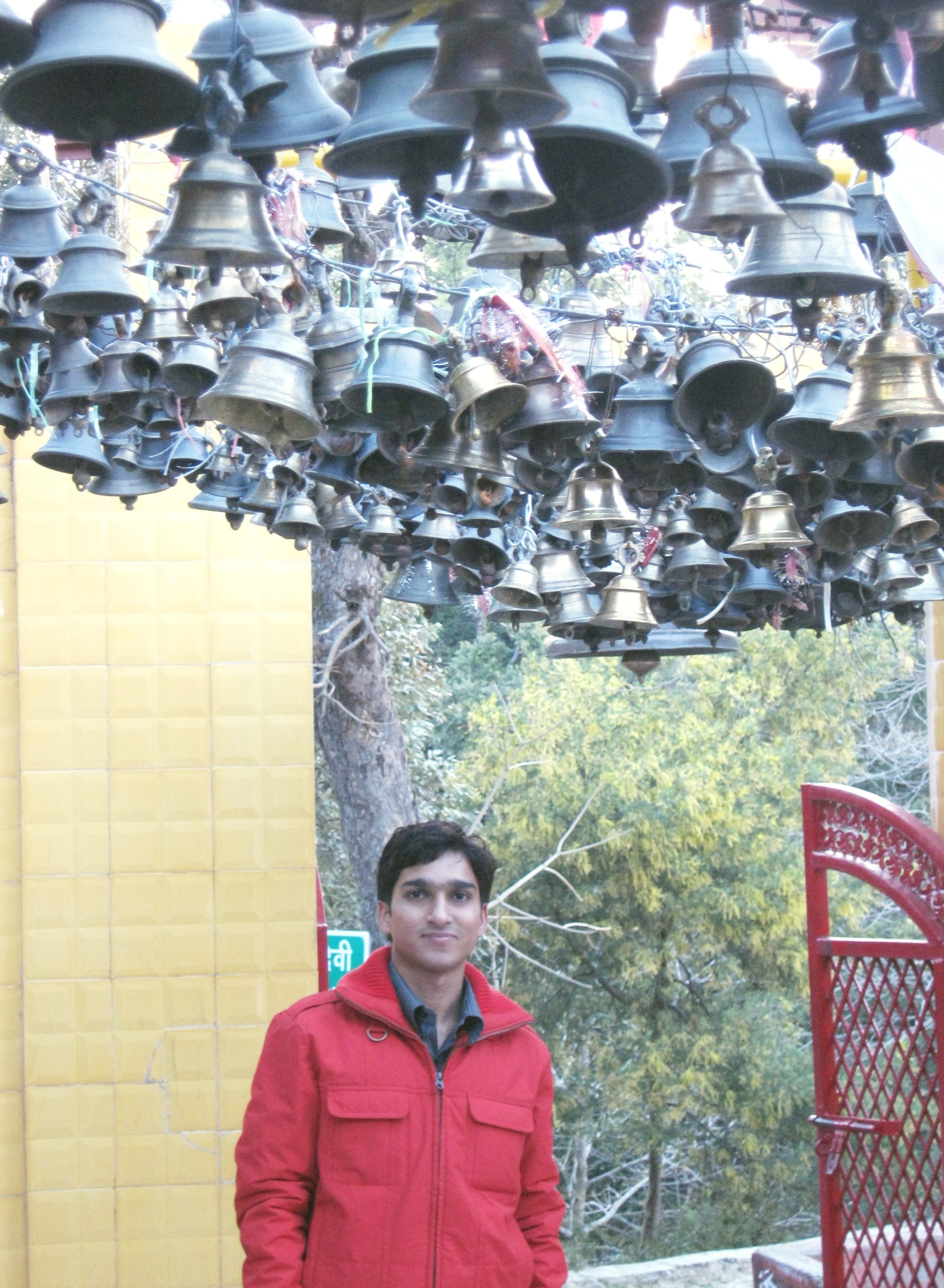
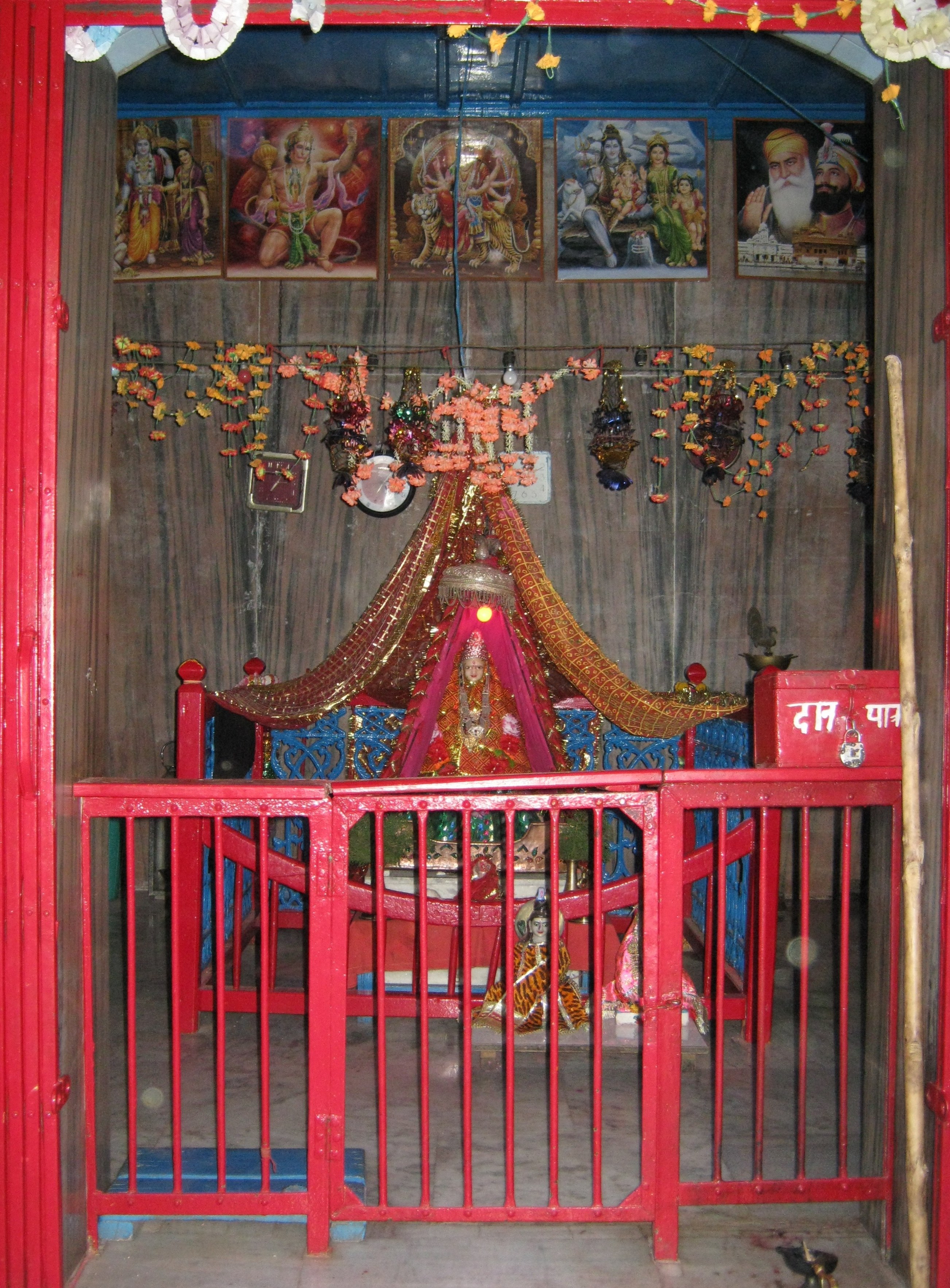
riding in the early morning through the tall pines of the chaubatia ridge. visit to the bell-studded jhula-devi temple, where the devi appeared in a dream and asked to be placed on a jhula.

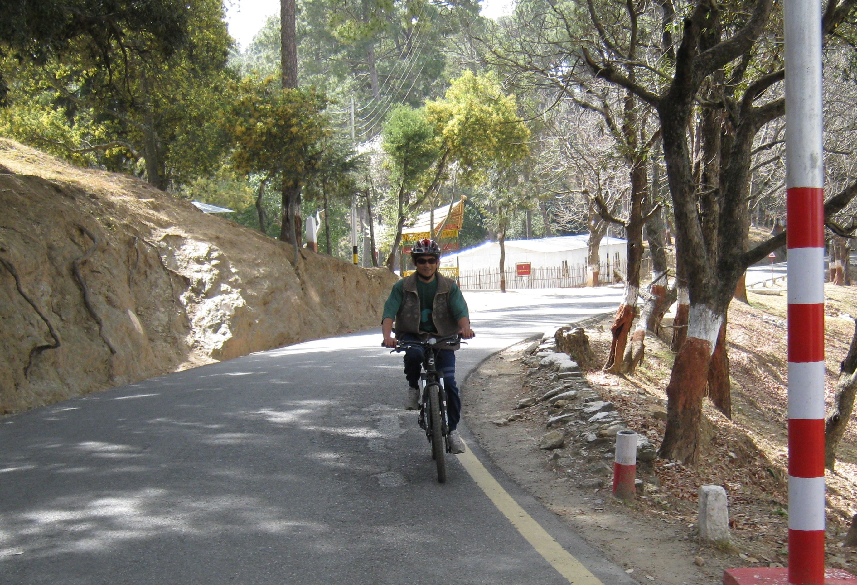
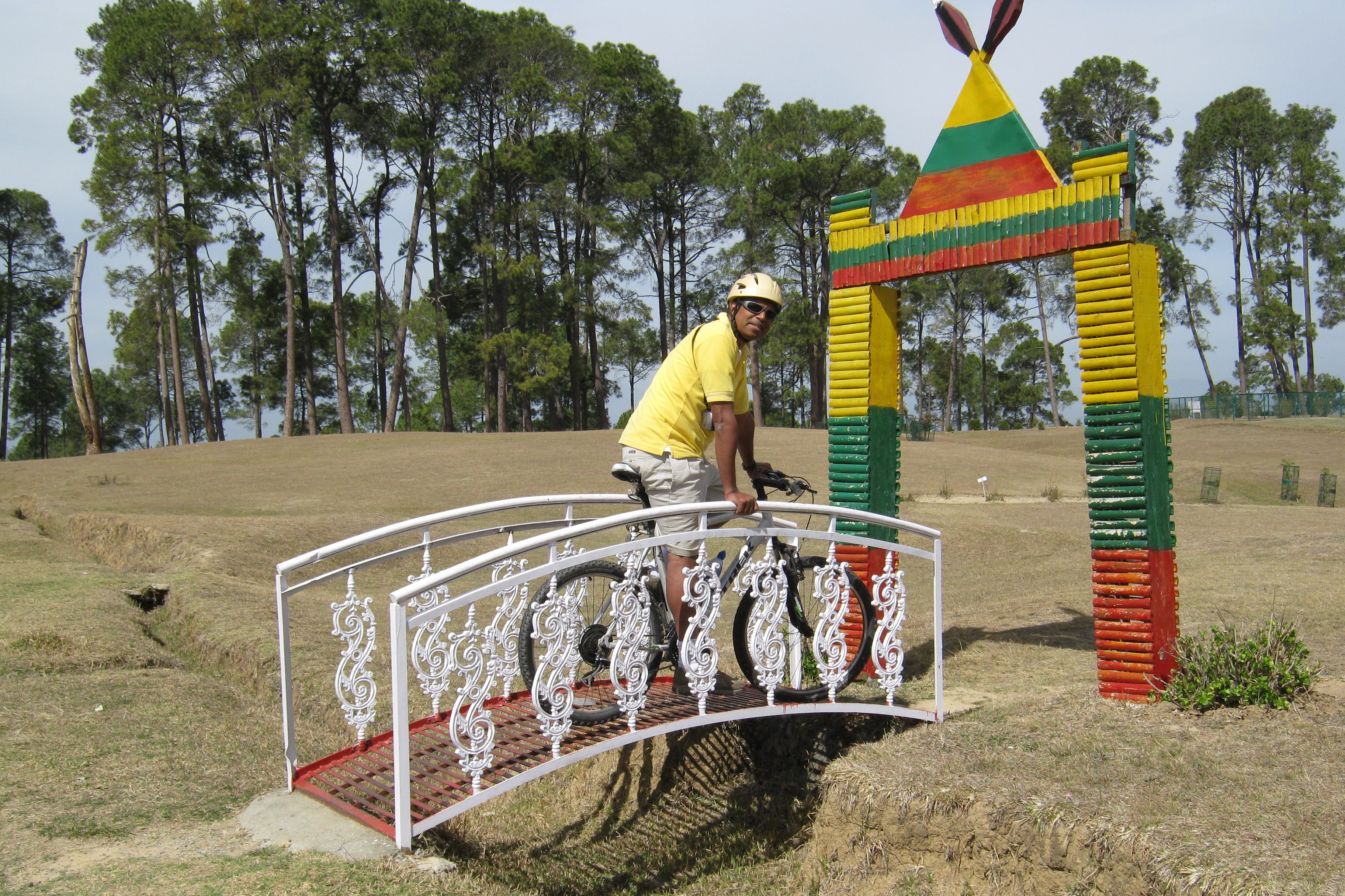
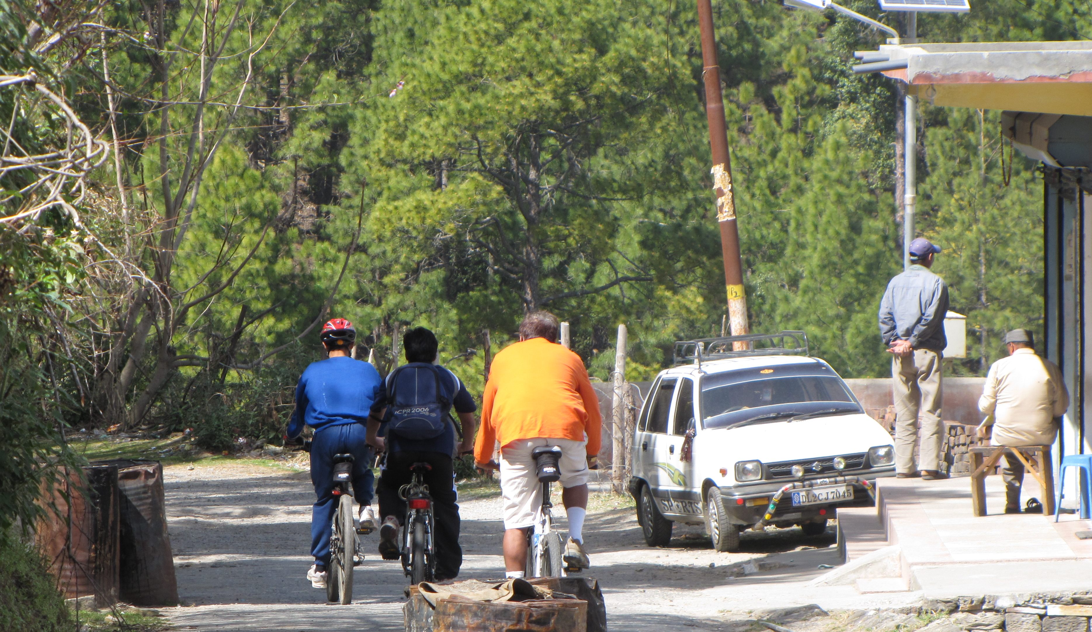
getting ready to ride. saumyen in the cantt area. amit trying to enter the lovely (and sparsely used) golf course.
stronger than most drugs...
and as addictive
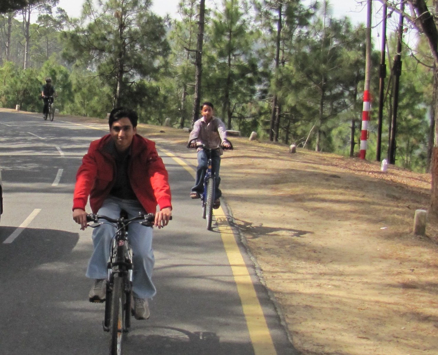
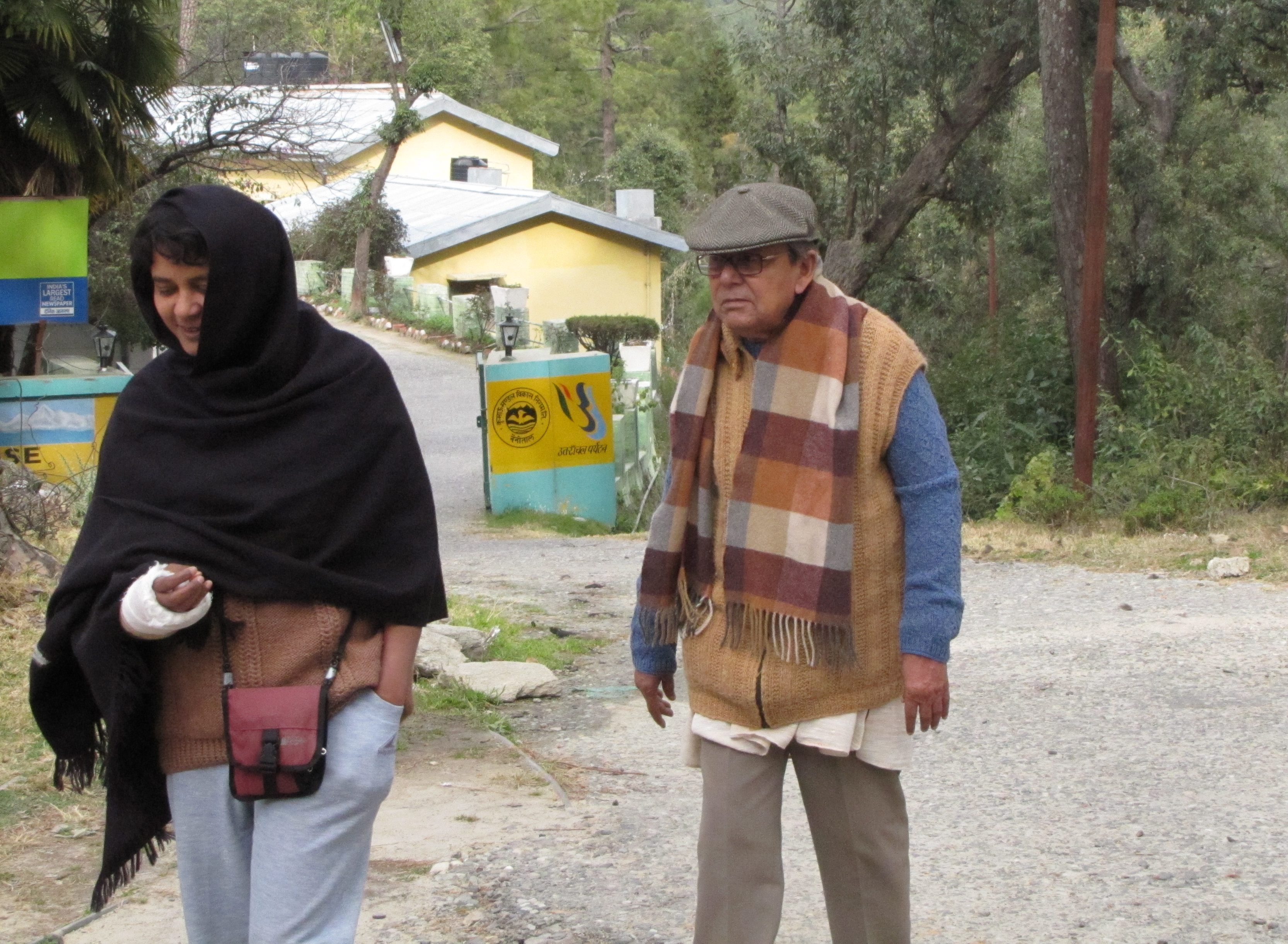
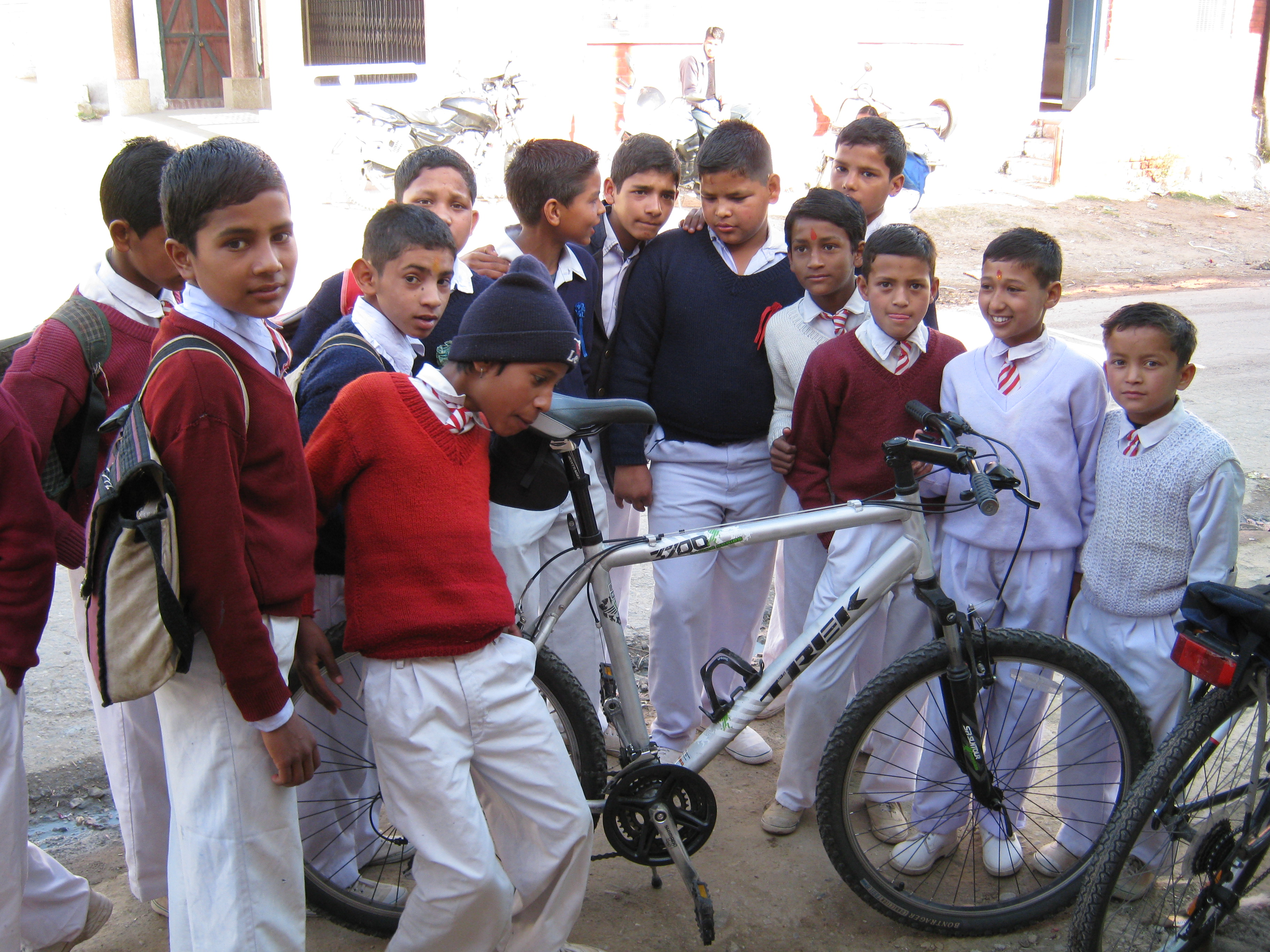
class IX student kanchan adhikary followed us around a for a while.
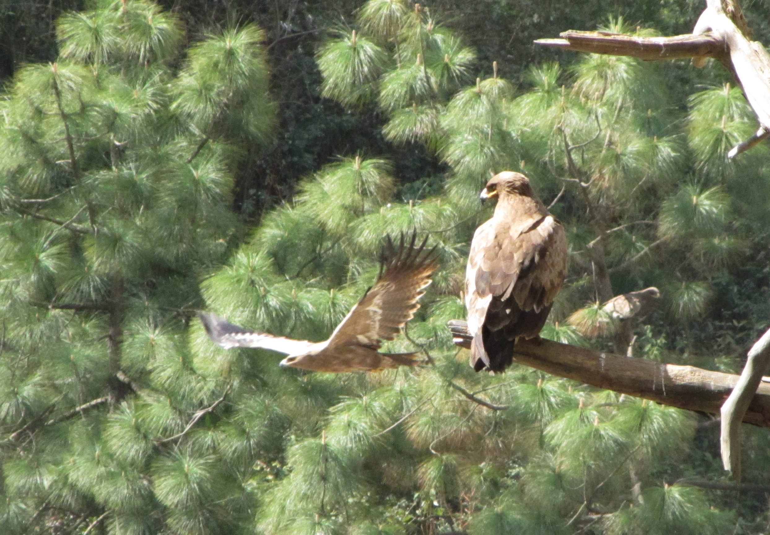
large congregation of eagles (lesser-spotted, though maybe greater) at big garbage dump just before golf course.
saumyen on the road. group photo outside ghinghari khal teashop.
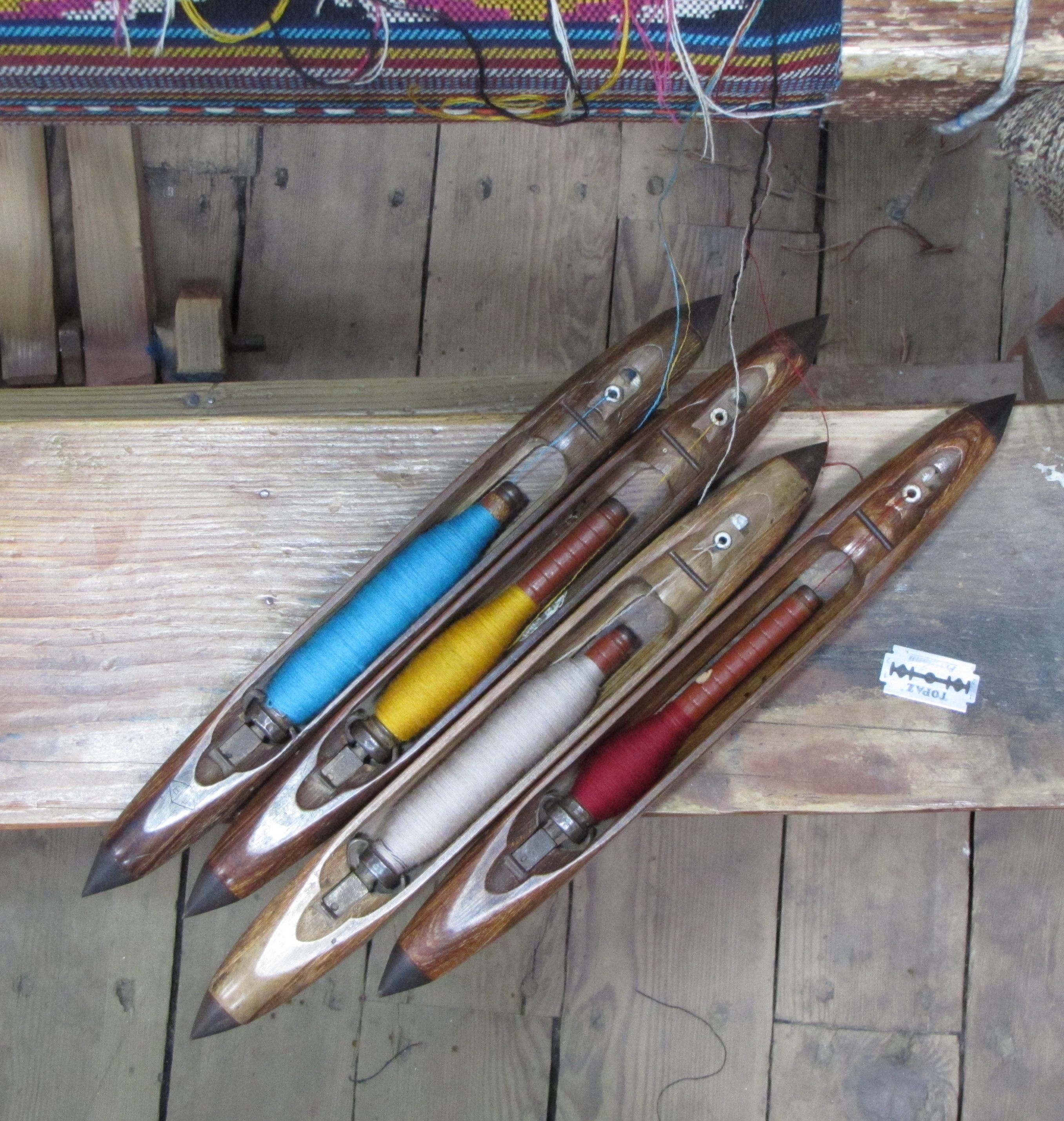
on the way back, we stopped by at the handloom hall in an old church, where family members from bereaved families weave woollens and tweeds.
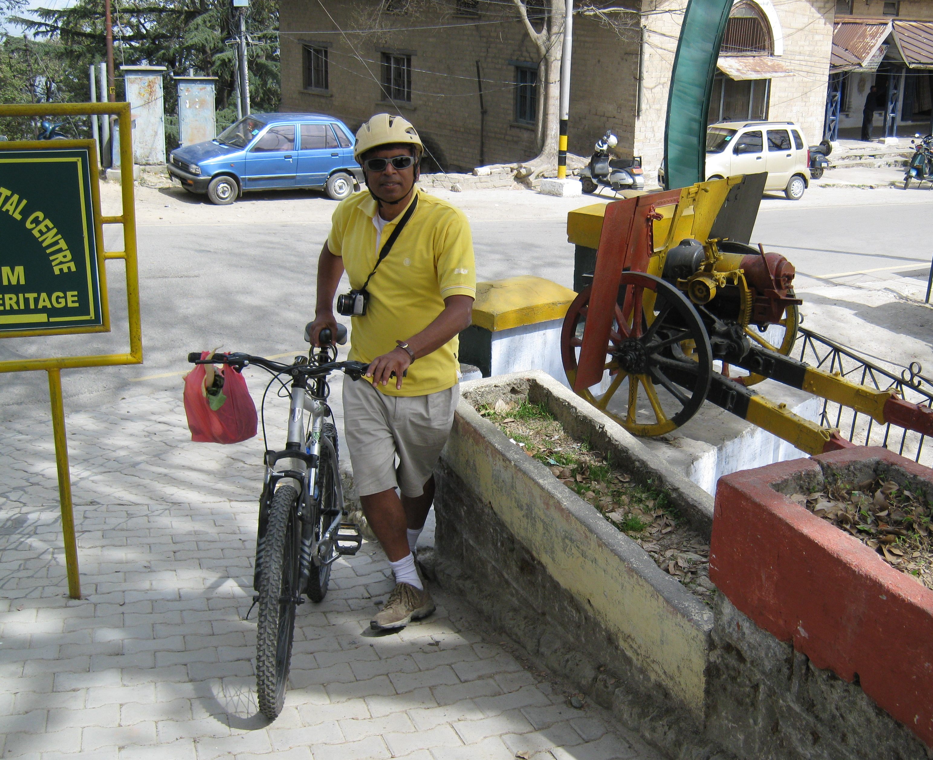
Ranikhet is an army town (which is why it is less commercial than many other hill towns). Note the bag of salad veggies.

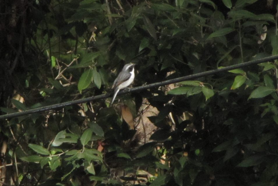
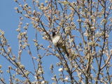
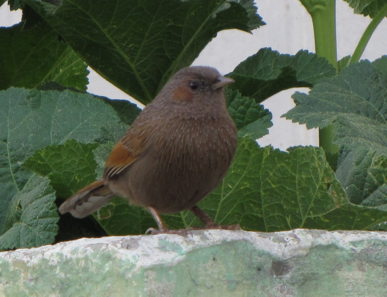
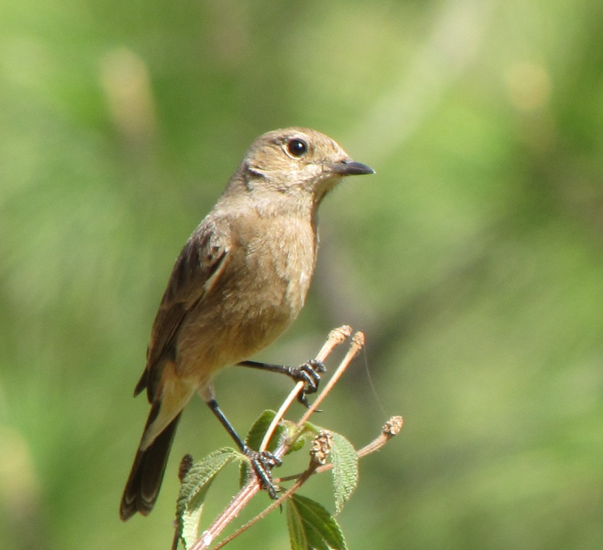
relaxing the afternoon. this bird, size sparrow minus, with a black head and prominent supercilium, we could not identify. later we went for a walk - mohua with dad.
Chaubatia to Ganiatola (NH 87, Ramnagar rd turnoff, 8) - Tarikhet (+4) - Sauni (+8) - Binsar temple (+4=24) - Chaubatia = 48 km
leave at 7;30. after a leisurely breakfast break at tarikhet, past sauni onto the binsar mahadev temple road.

long break at tarikhet teashop (lots of omlets and toast).
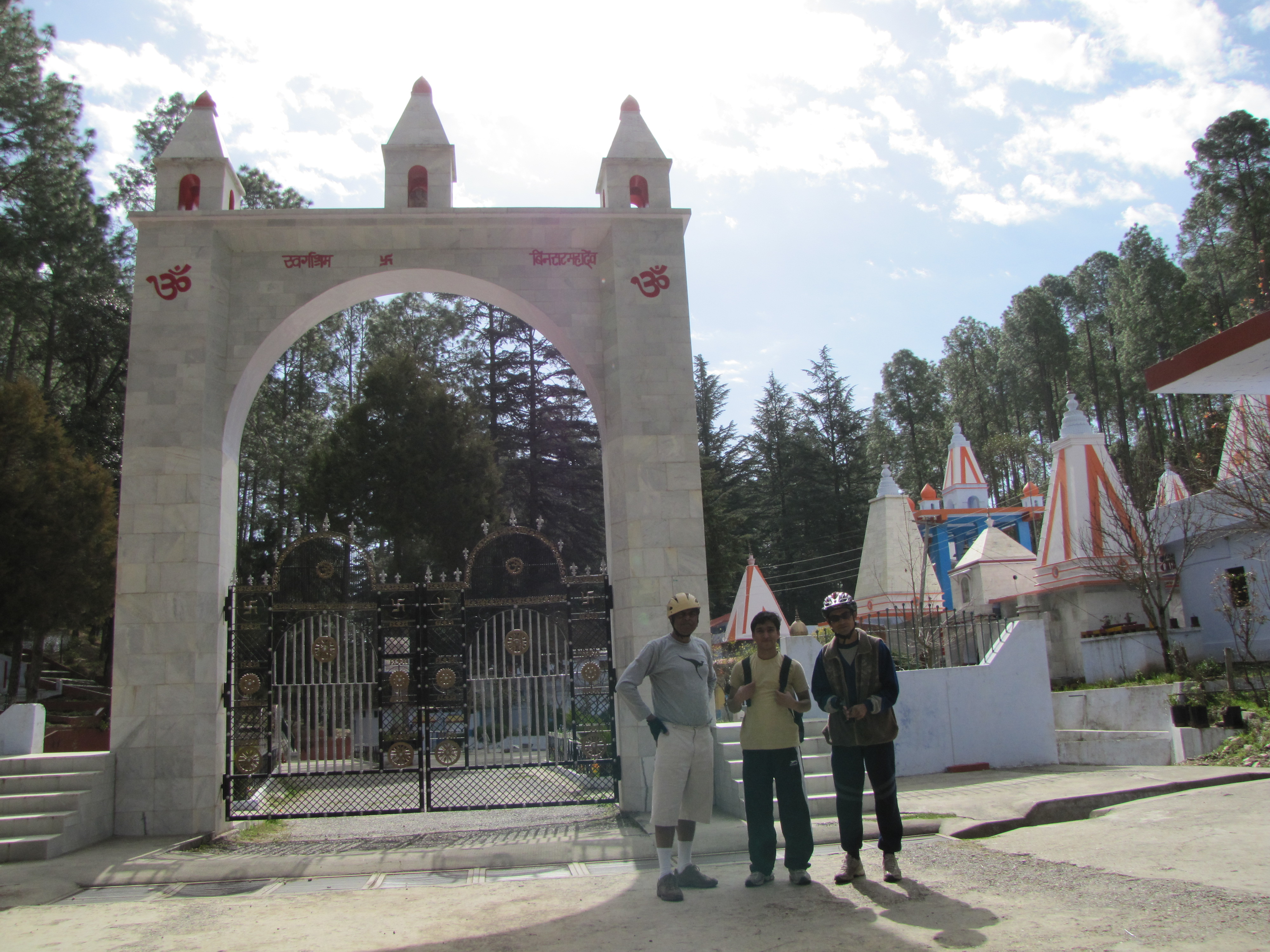
reached binsar mahadev around 10AM.
on the way back, i stopped by at a yellow house at the village of dAwarghatti where they had some rooms for rent. this house was at the very top of the ridge, with the valley falling down below and the snowpeaks felt so near. made plans right then to spend a month here this summer, and got the phone numbers etc. here's the kind of view one gets throughout the day...
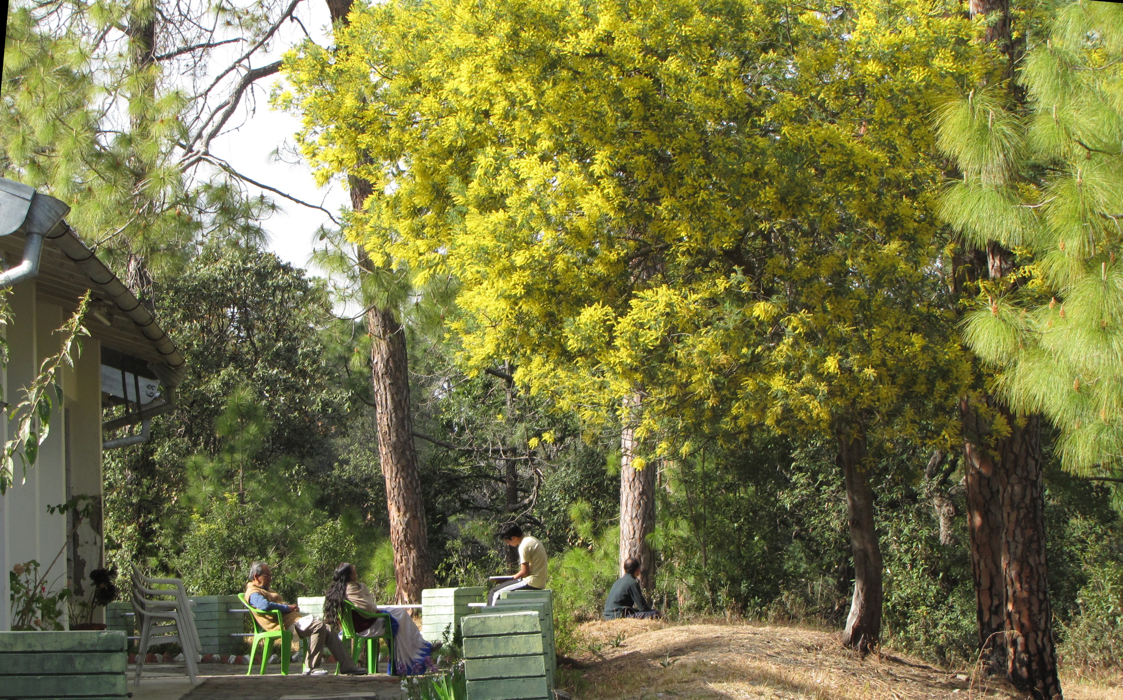
relaxing back at the kmvn, mellow sunshine and brilliant foliage. food at the restaurant is quite good; we have kumaoni food - botha dal, and palak cooked in the local style.
 [video:13MB]
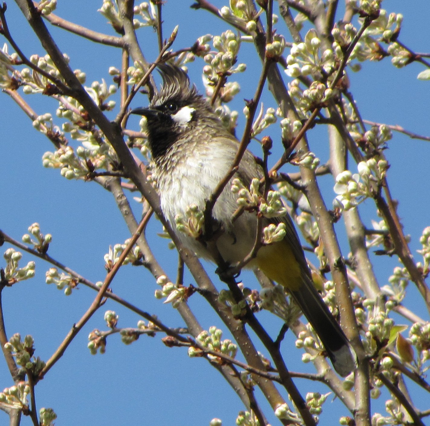
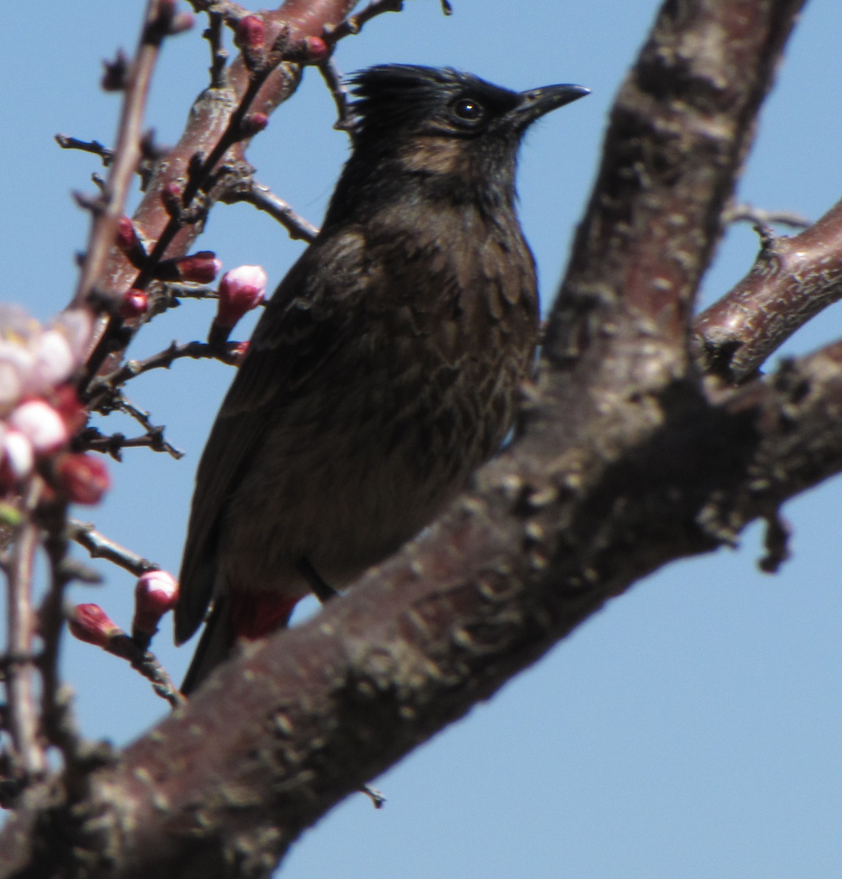
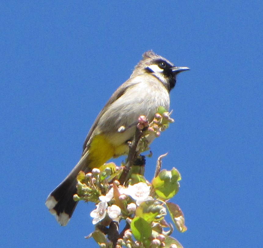
on the way back, we saw this Himalayan Bulbul amidst plum blossoms. right: hear it sing in the video (13MB).
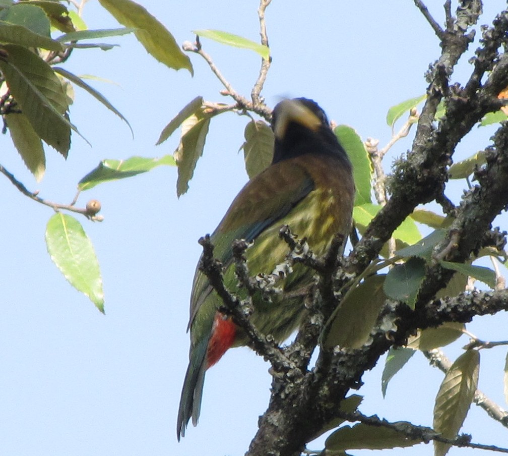
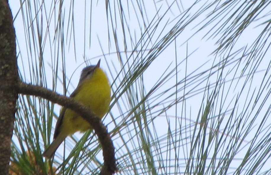
a great barbet (this one caused great excitement). yellow-throated fulvetta amid the pine needles. the last we don't have an id, though it is very common. myna size. babbler like behaviour- hangs around on the ground and the stairs; confiding.
this was to be our major ride of the trip. started with a big toast and boiled egg breakfast at kmvn, leave at 0820.
largely downhill to kathpuria, then the steep climb begins. first 3km is nonstop climb with grades around 1:10. after this the road is even or gentler uphill, until you cross the first ridge and then there is a steep descent of about 2km. the last 2km is also about 1:10. as you approach the top, a road to kosi goes off to the left. for most of the climb, you can see sitlakhet and also the syahi devi temple on the ridge.

relaxing at the end of the road at sitlakhet.
mountains on the horizon.
tea on the terrace in the morning sun
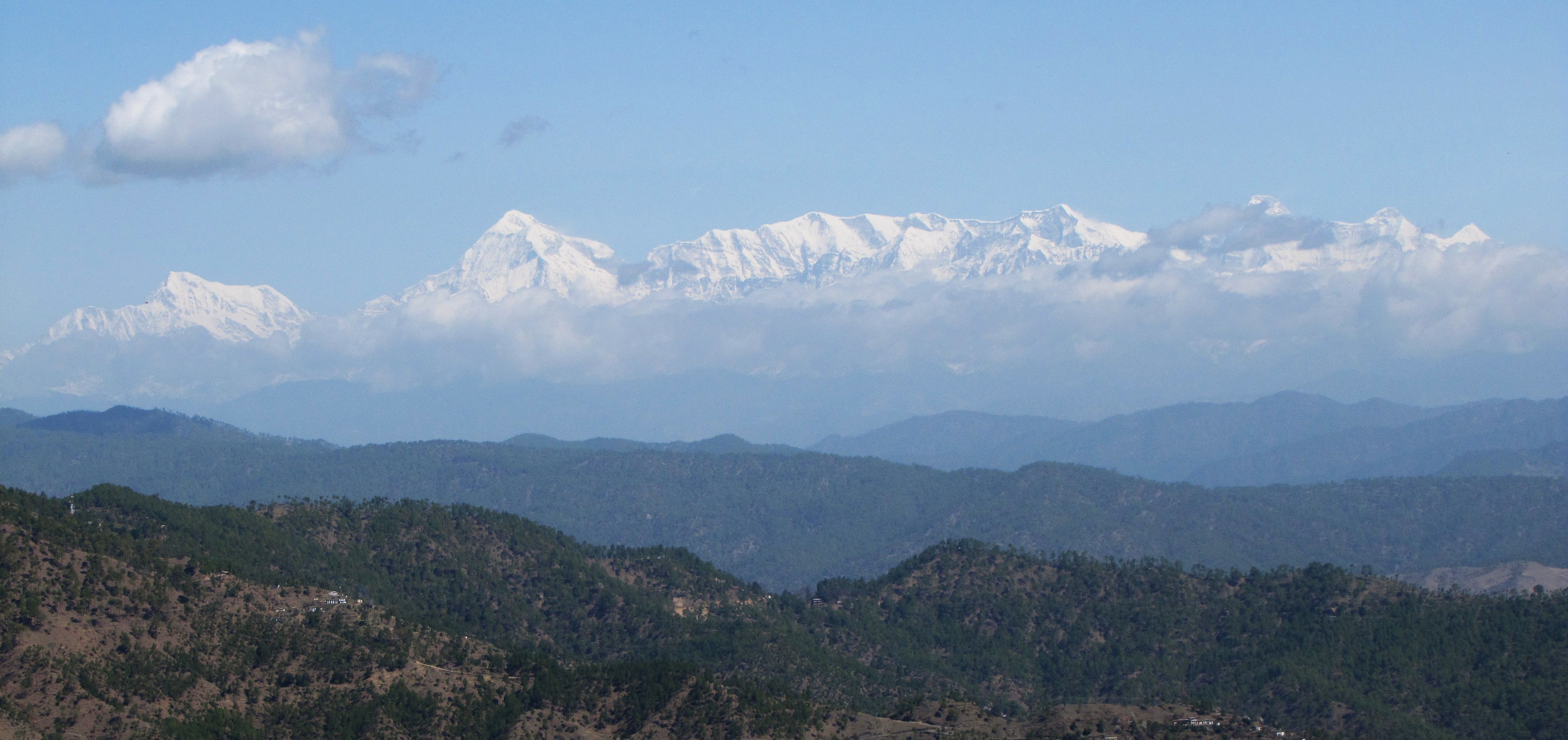
yet another grand view of the mountains
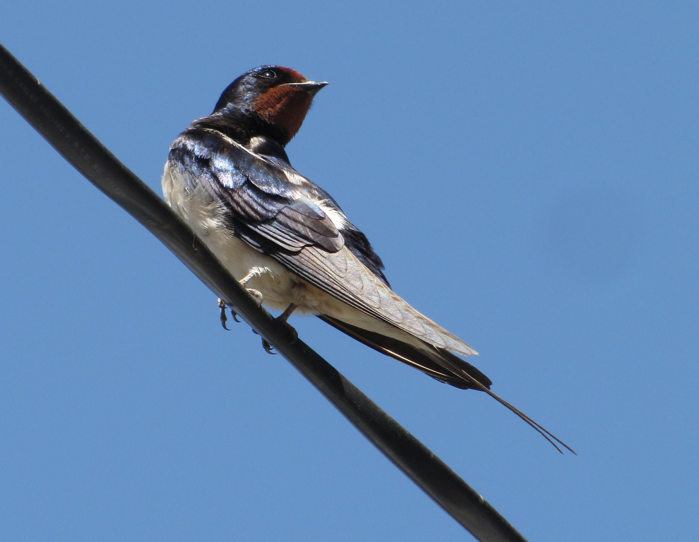
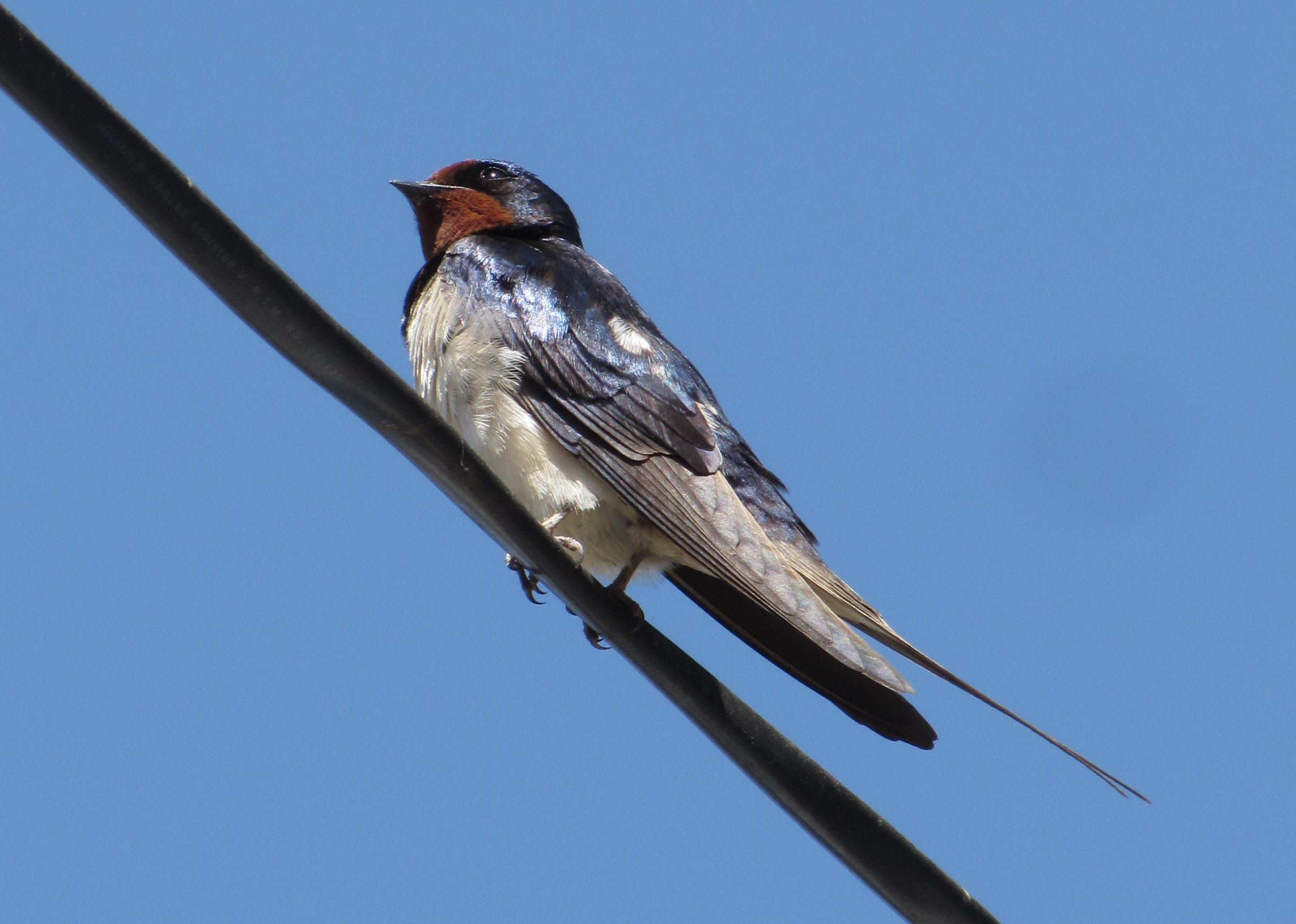
perhaps it was nesting time, but swallows were everywhere on this trip, often entering houses, perching on rafters...

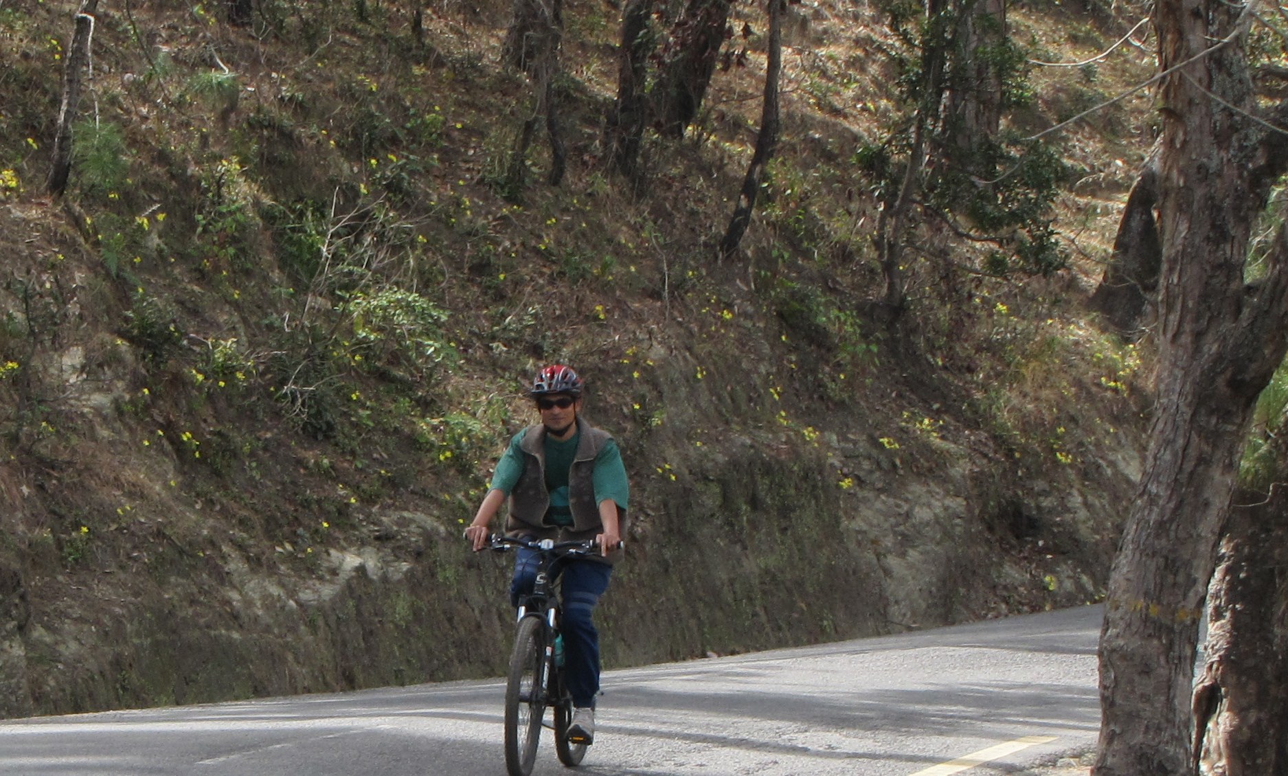
starting back from sitlakhet. amit and ripu entering kathpuria. saumyen coming down. note the steep road going up at the back.
the three of us going down on the road.
saumyen mohua and parents leave at 0630. manage to stumble out and say goodbye.
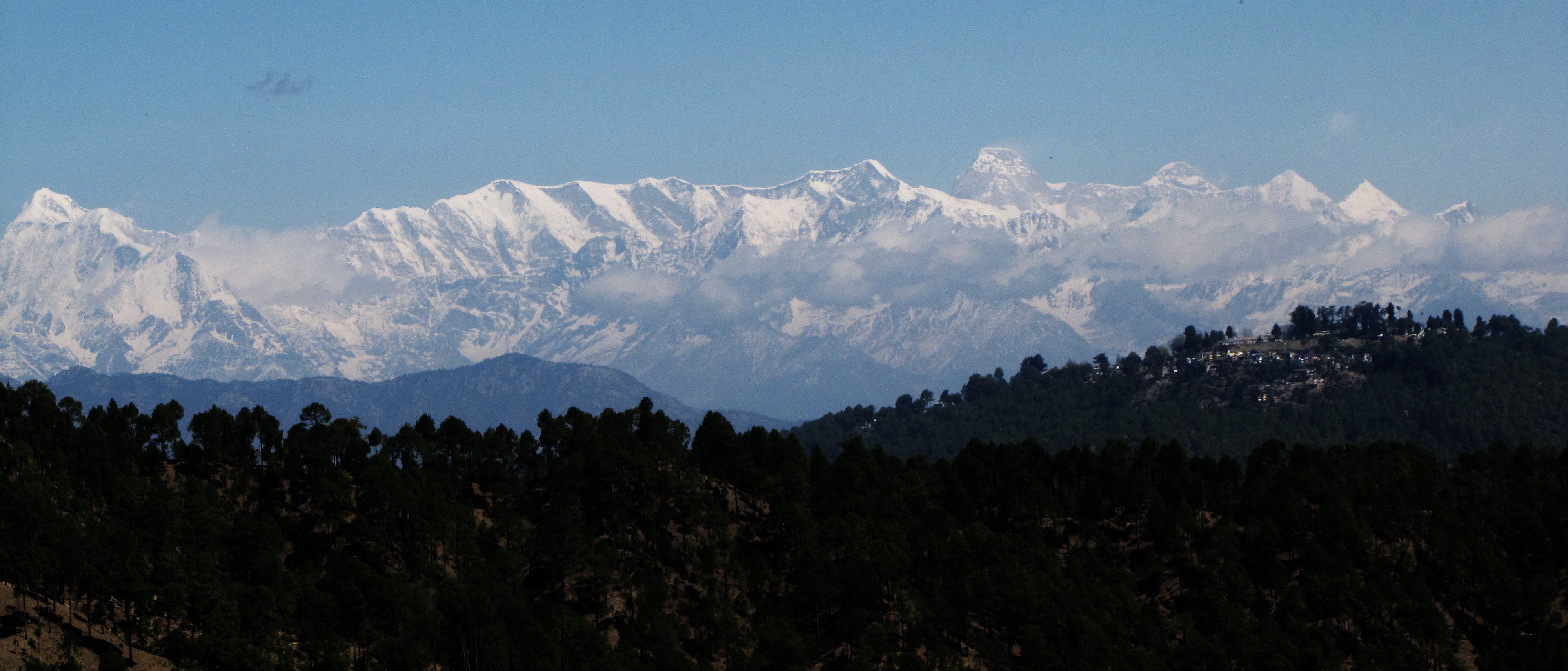
Today we had a clear view of Nanda Devi, beyond the sanctuary wall, about 75km away (but it feels less than 5). The peak to its right is Panwali Dwar. The peak on the sanctuary wall (just left of ND) is Maiktoli (about 67km away). (see below for more on the peaks).
After what seems an endless climb (since I was expecting it sooner), stopped by at village of Dawarghatti-Sauni where talked about renting the rooms with Mr. Devi Ram. He shows us several rooms, all with bathrooms either two floors below or just outside. One suite belonging to his brother has a kitchen attached. I am quite confirmed I am renting a room between mid-May to mid-June.
From Sauni it is downhill 2km to the Binsar Mahadev, where we cross the (now small) river, and then the road climbs steadily to Reechi. Some small teashops on the road, with a semi-pucca road going off to the left, is the turnoff for the road to Khairna. Some young men tell us it will all be downhill from now, but the road is still climbing.
less than 1km up this road we encounter a farm where some upscale cars are parked. It is a lovely location with valleys on both sides and a lovely himalayan view to the N. We talk to some urban people who are excavating a water tank - they tell us that there may be some huts at the farm, but the munshi says all the rooms are used up by horses and farm workers. The munshi suggests there may be rooms to rent in the village near the temple atop the even higher hill next (it is even more "swarg"). we see the steep stairs going to this temple, but decide not to venture up rightaway.
how we struggle
to learn
is knowledge wisdom?
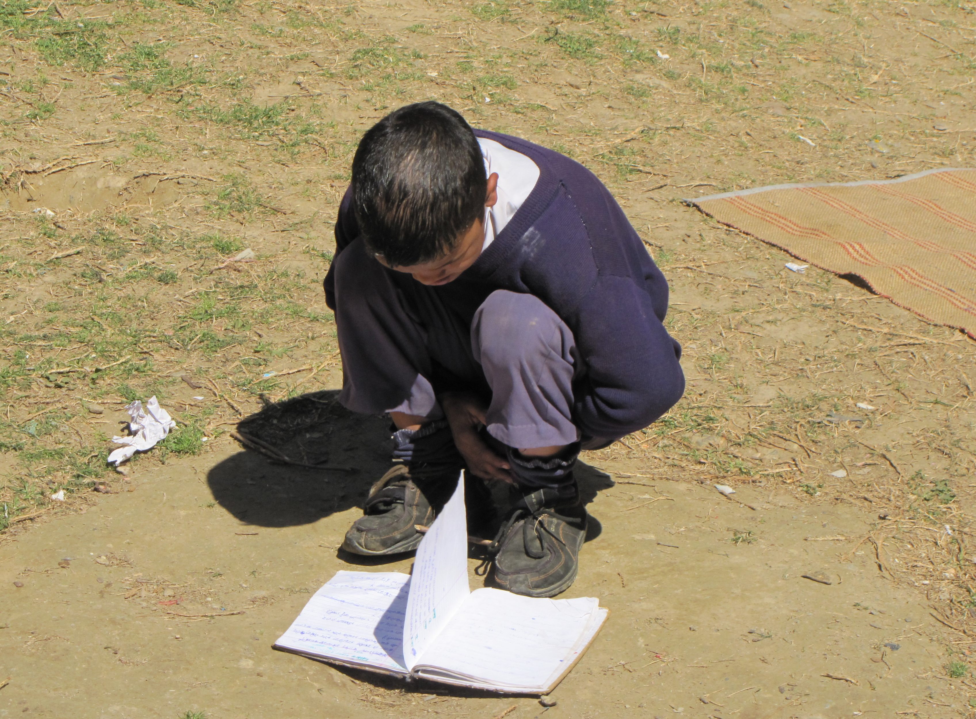
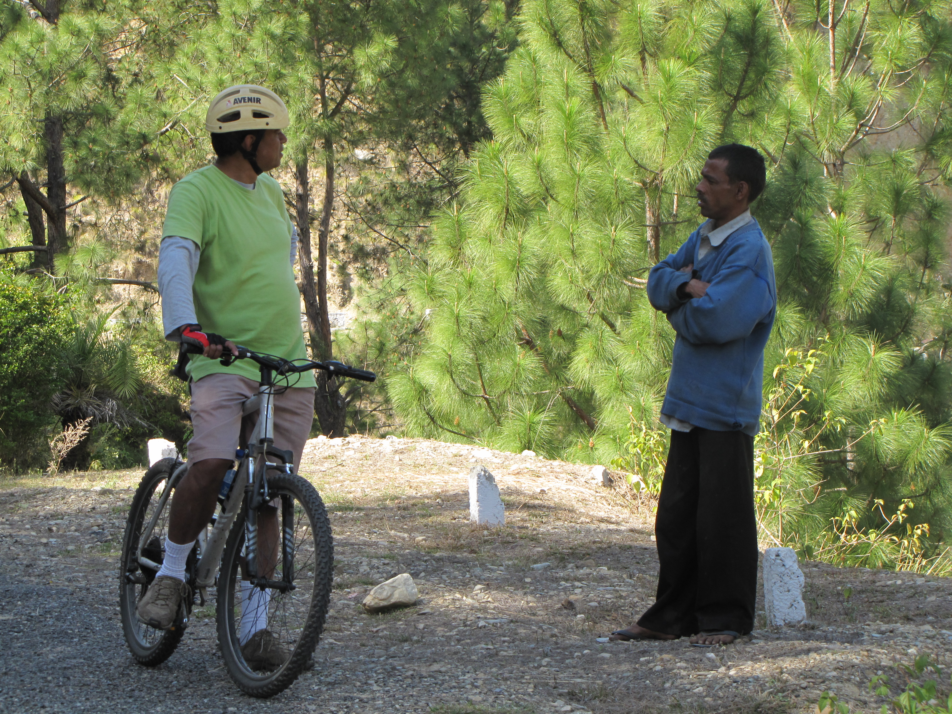
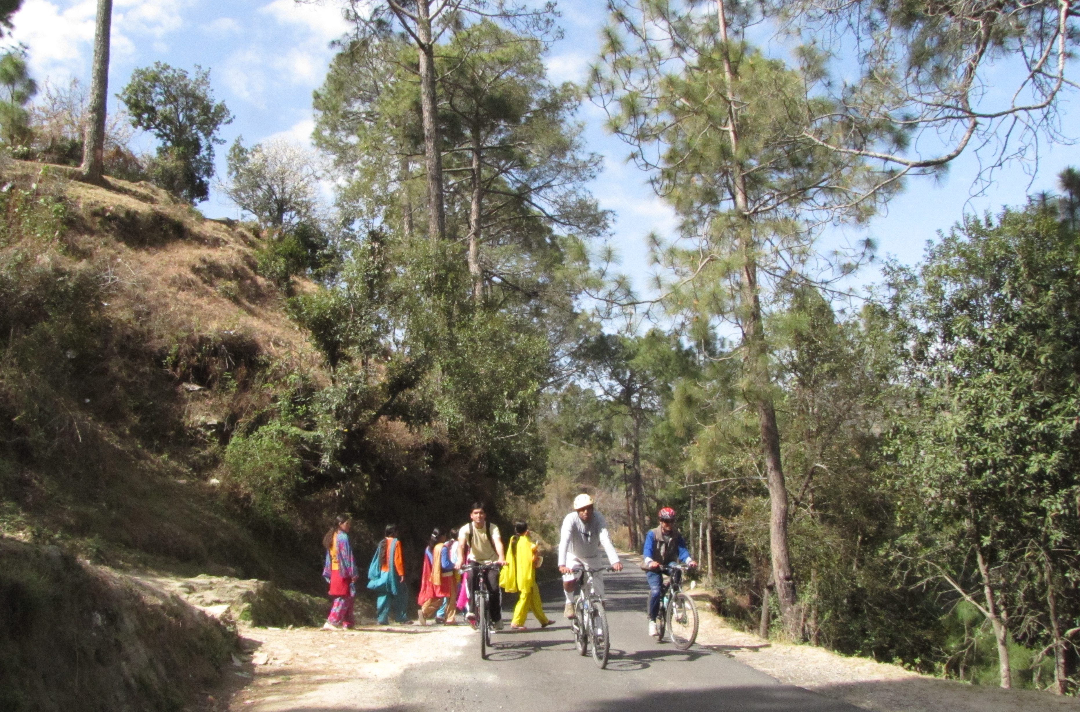
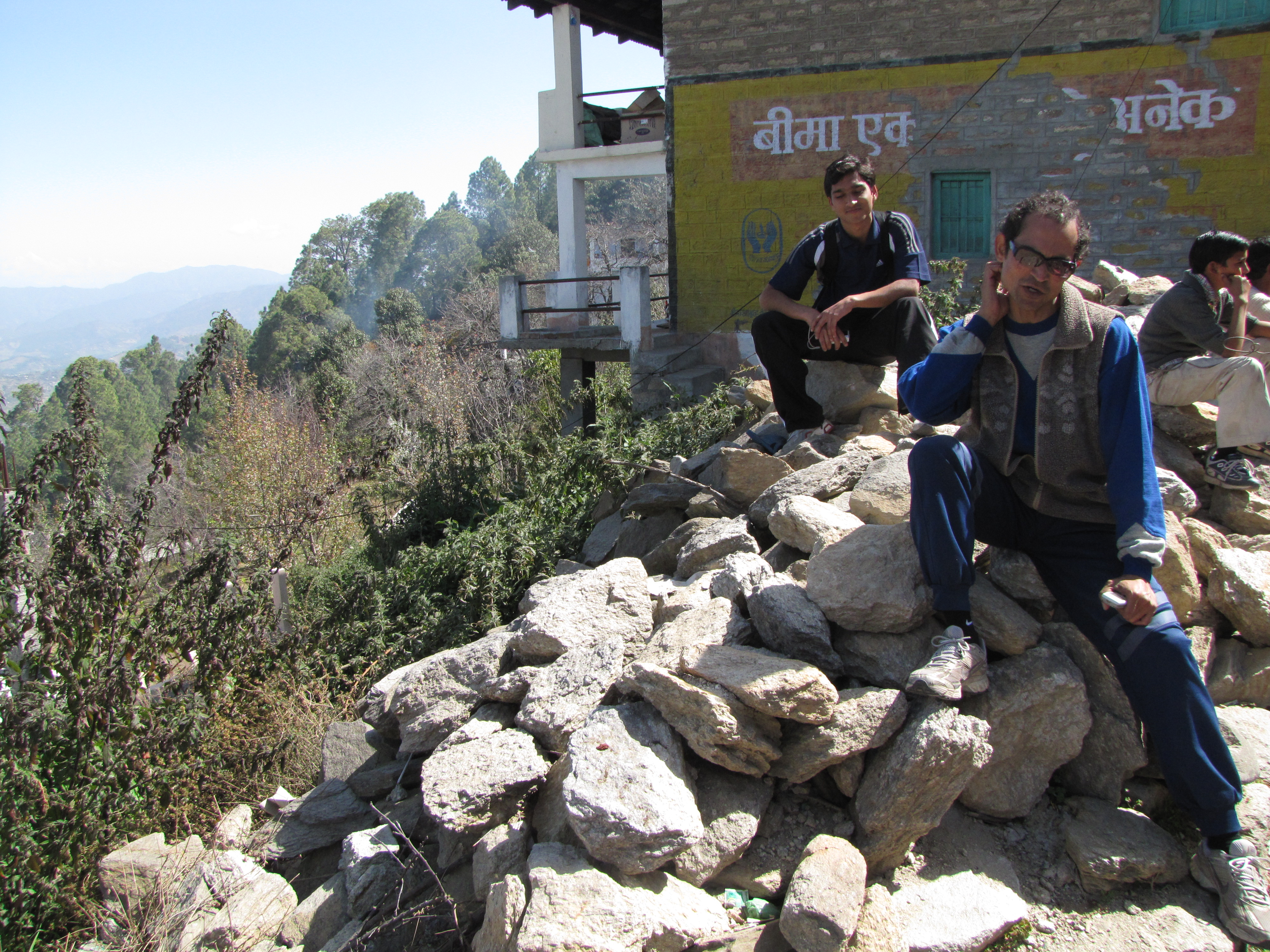
scene at a village school, kalakshet. amit talking to a passerby near paatla.
in the village of lachhina, met a young man and an elderly educated man. they talked of how they used to have to go to school by climbing down their hill, crossing the stream, and then going up the hill on the other side to reach tarikhet. this road was laid out 26-28 years back (1982), and stabilized and surfaced with tar only in 2005. when the river (coming from binsar mahadev temple) is in spate, they can cross at a bridge a little upstream. a temple can be seen opposite, to go there, you can climb down the slope and climb up the next, or else come down from tarikhet by a foot trail- no - bicycles won't go on these trails.
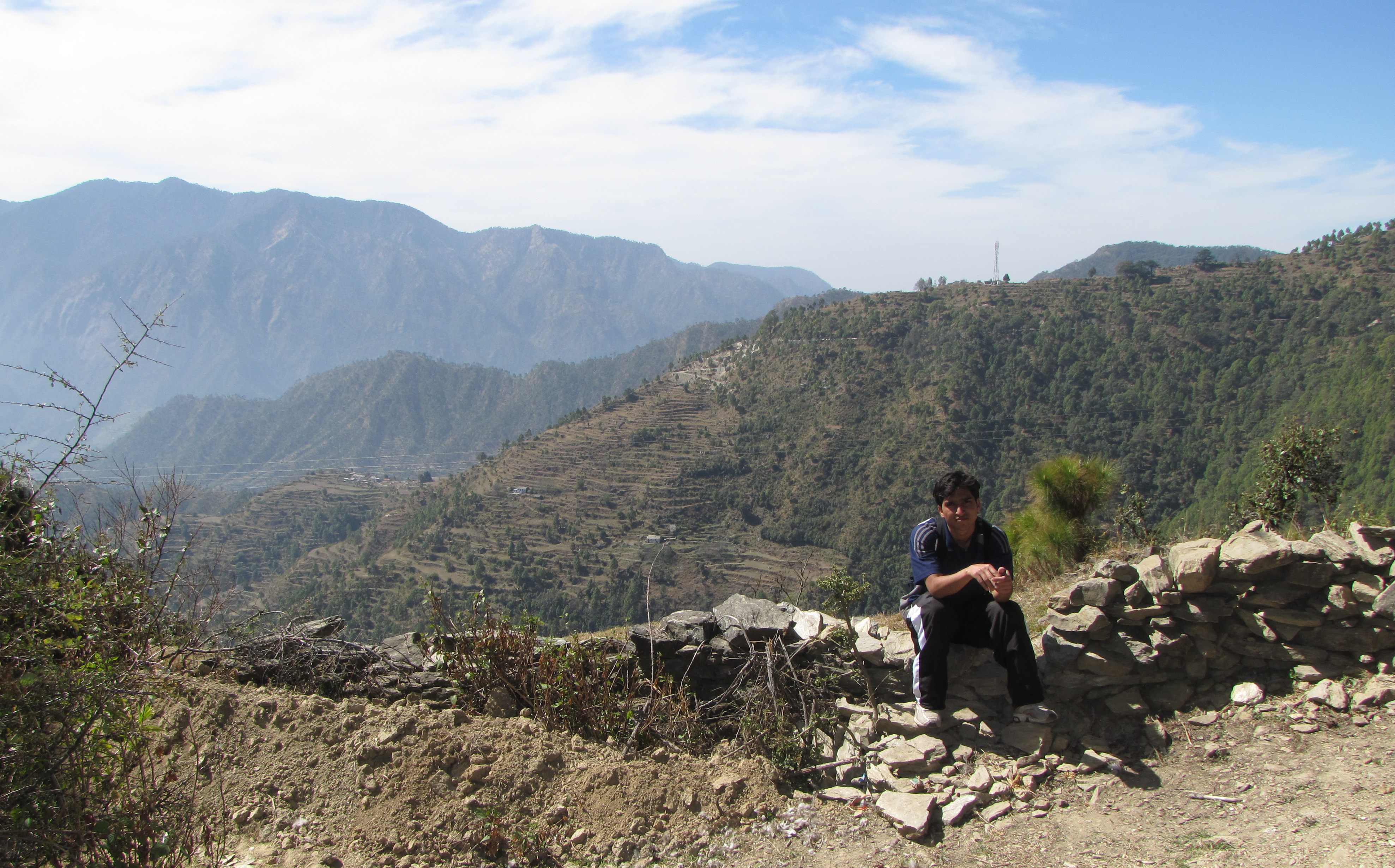
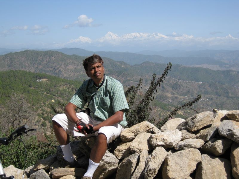
ripu at a grand valley view
at seema, we stop for a banana break at a shop with grand views. the youth managing the shop studies medicine at dehradun.
video: sharp downhill near haldiani (47MB)
a black bulbul seen near seema. himalayan bulbul near kalakshet. unknown bird, size sparrow minus, singing away near paatla.
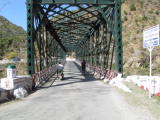
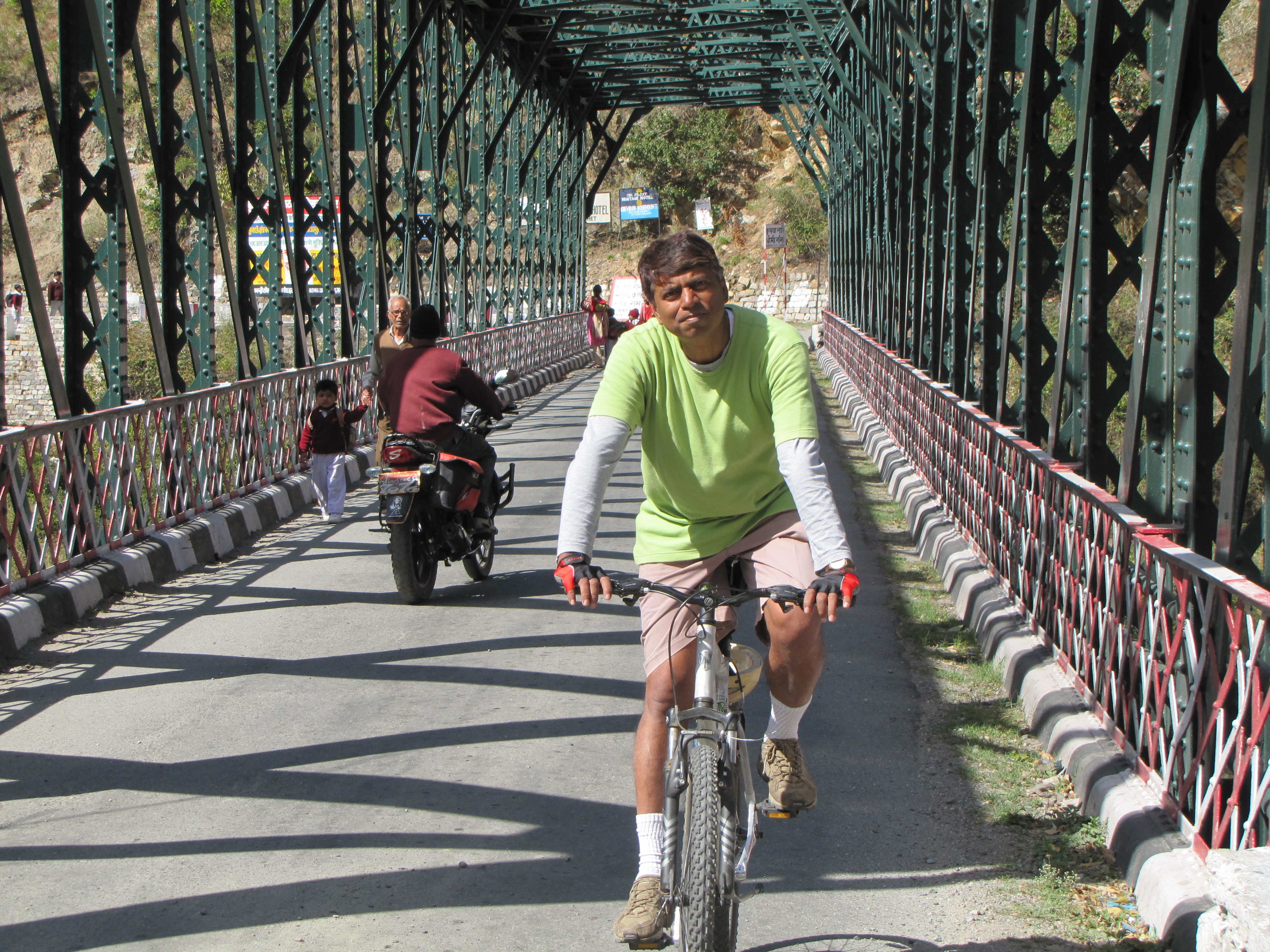
video: ripu crosses khairna bridge (12MB)
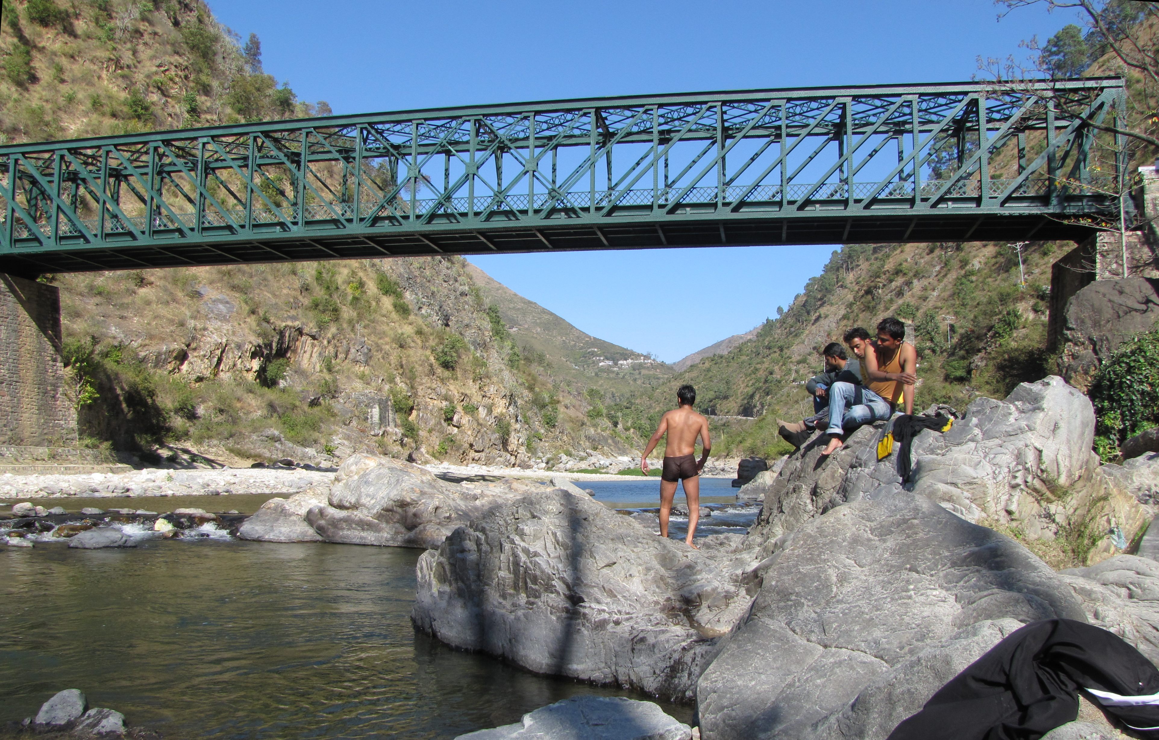
amit coming across the bridge over kosi river. ripu going for a swim in the river.
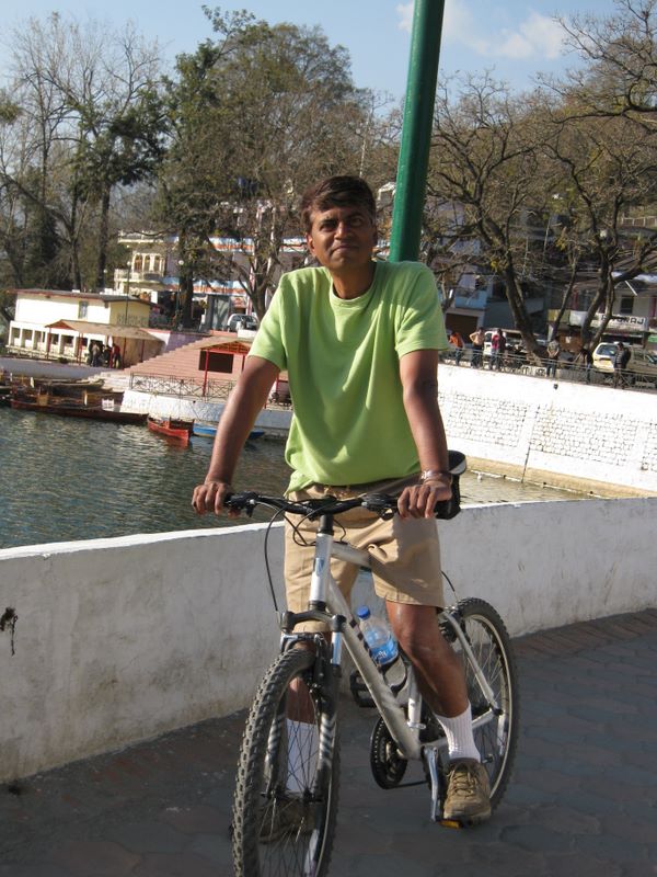
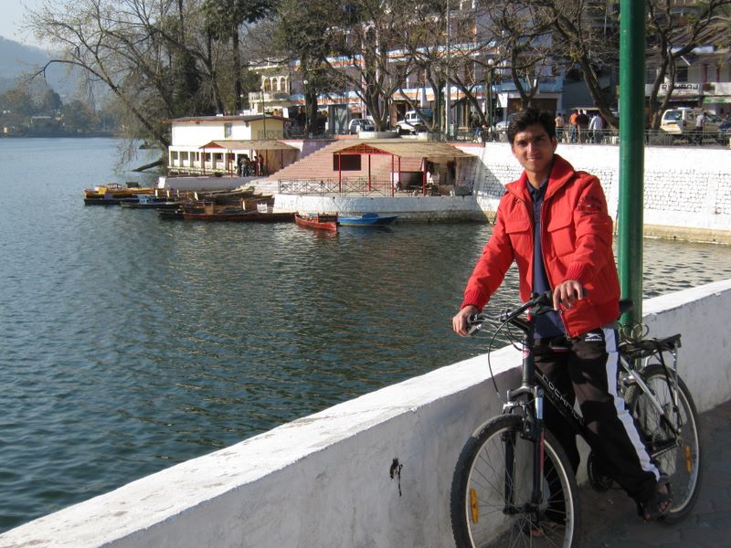
bicycling around bhimtal
Practicalities
Accommodation We stayed at KMVN Tourist Lodge, Mall Road. There are three KMVN facilities in Ranikhet. This is the highest and offers good view of the mountains and the kitchen is good. However, the hot water is flaky, and the overall management is not of the highest order.Bicycles
We had gotten an assize speedometer from Firefox India along with the Trek, but it was a defective piece - the magnet sensor didn't work, and we couldn't take it along. The distances are based on maps and gmap etc. No altimeter either. We did have a reasonable set of tools - allen wrenches, spanners etc. While we did take different types of tyres, touchwood we had no punctures. Getting your bicycles there
one could ride, of course. from kanpur, bareilly is 250km, with another 120km to Kathgodam, after which it's hard climbing for the last 80 odd kilometers. So that's about four days, say.
from delhi, it's about the same distance but you skirt the corbett national park, so you may be tempted to take longer. but then three days of riding in the plains with trucks and buses is no fun. so you can book your bicycles on a train, but you have to take off the pedals and turn the handlebars and pack them in a carton, and its quite a hassle getting them to book it by the same train you're going on. as a last resort, you put them on the roof of a public bus. the advantage (or hassle) of a bus or train is that you skip the plains, and after you get off at kathgodam or nainital, you can start riding the mountains right from there. nainital is pretty high (2000m), so if you are thinking of riding, that's a good place to start from... but then most of us have baggage... so, maybe you need to resort to a car. you can have a bike rack, like saumyen, and be prepared for big stares at every stop, or upto three bicycles can fit into most SUVs if you can fold a rear seat. when to go:
spring (feb-april) is probably best - tourist crowds are less, the air is bracing, and the roads aren't as busy. summer (may-june) and autumn (sept-oct) are also pleasant, though there are more tourists. not advisable during monsoons (july-august). It hasn't been snowing the last few winters, but winters are often foggy.
weather round the year: www.mustseeindia.com/Ranikhet-weather Bicycle maintenance:
There is a bicycle store at Ranikhet on Mall road. Despite the terrain, it doesn't deal in geared bikes. You better carry basic repair and tune-up tools and operate on a do-it-yourself mode.
The peaks of the Nanda Devi range
The peaks you see to the North from most of Kumaon are all in or near the Nanda Devi Sanctuary. The most prominent structure is often the Trisul massif with its three prominent peaks (Trisul I, 7120 mtrs; II, 6690m; III, 6008m). Trisul I was the first peak above 7000m to be climbed (1907); it was also the first trial of oxygen-aided climbing. The southern wall of the Nanda Devi sanctuary (stretching to the right of Trishul) includes Mrigthuni 6855m (second summit from left) and Maiktoli 6803m (rightmost). Beyond these, to the right you may see the highest peak in this region, Nanda Devi 7819m, which rises as the square-top peak to the right on the view from day 4. It is the 23d highest summit in the world, and the only one entirely in India. It is often obscured. Further right is Panwali Dwar 6663m. The peak to the east of Trishul is the Nanda Ghunti*, 6309m, and to the west sometimes you may see Nanda Kot*, 6861m, or Nanda Khat 6611m. Other prominent peaks on or near the Northern sanctuary are Hardeol* 7151m, Dunagiri 7068m; Changabang 6864m; Kalanka 6931m (not seen from Ranikhet-Kausani-Almora region). (* asterisked peaks are not on the sanctuary wall per se)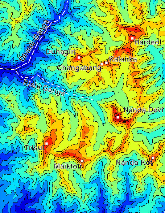
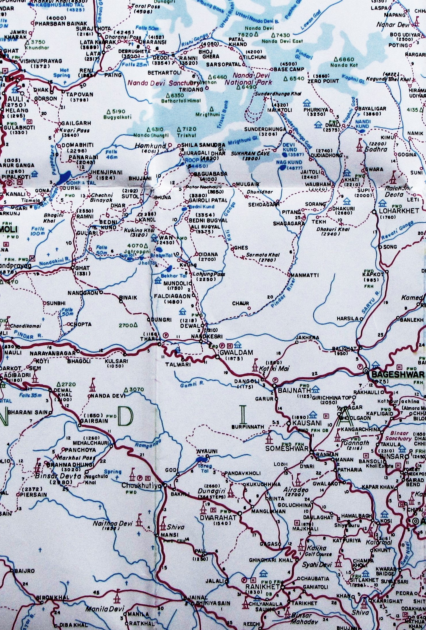
The topographic map of the Nanda Devi Sanctuary southern wall (adapted from wikipedia image by Spireguy). The Ranikhet-Almora-Kausani-Baijnath-Bageshwar region lies more or less directly south of the Nanda Devi sanctuary (click to expand either map).
(Altitude measurements may vary by about 20m or more).Nanda Devi: 7816m Kamet: 7756m Gurla Mandhata: 7694m Nanda Devi East: 7434m Hardeol: 7151m Dunagiri: 7066m Trisul I: 7120m Kalanka: 6931m Changabang: 6864m Nanda Kot: 6861m Mrigthuni: 6855m Maiktoli: 6803m Nanda Khat: 6611m Trisul II: 6690m Panwali Dwar: 6663m Nanda Ghunti: 6309m Trisul III: 6008m